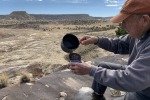
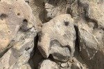
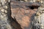
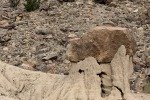
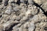
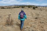
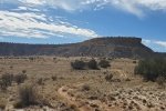
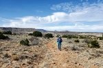
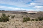
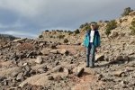
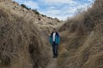
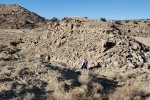
For this week’s hike, Pat & I chose to return to the Ojito Wilderness. It is close to home (we enjoyed a very relaxed morning before heading out for the hike) and always offers a nice hike with beautiful views all around. It is also a go-to-place for hiking in seasons other than summer – it is a hot place in the summer. For this outing, we set our sights on visiting the Dinosaur Dig and circling around to Hoodoo Pines.
The Drive In
For those who haven’t ventured into the Ojito – head north out of Albuquerque to Bernalillo, then west on US 550 at Bernalillo for 20 miles. As you approach White Mesa (on top of which there is ongoing mining of gypsum for the sheetrock plant in Bernalillo), and before making the curve over the Rio Salado into San Ysidro, turn left on Cabazon Road. This road is well cared for (access to a pipeline pumping station) and well used (many people coming to hike and to practice shooting in the area before getting to the Ojito Wilderness where shooting is not allowed).
About 4 miles on we passed by the White Mesa Bike Trails, a popular area for some wicked mountain biking. It is also an interesting place for some hiking, short to the ridge above a picturesque canyon, or along along Dragon’s Back or down into the canyon. (See “Previous Posts” below). Continuing on Cabezon for another 6 miles we parked at the trailhead for the Seismosaurus Trail (which goes to “Dino Dig” where a Seismosaurus was excavated back in 1985; “Sam” is on display at the New Mexico Museum of Natural History and Science in Albuquerque).
The Hike
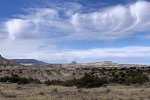
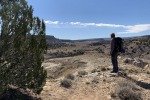
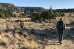
A beautiful New Mexico day – temperature in the 60s, intense blue sky with a few clouds for effect, not even any wind. We were using the ASCHG track as a guide, but we easily followed the trail to Dinosaur Ridge. Along the way, the views out across the Ojito Wilderness are amazing: one is surrounded by mesas and intervening canyons, one can see Cabezon to the west, Red Mesa to the east, and feel the freedom that comes with such open space.
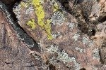
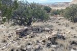
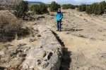
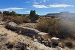
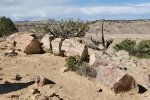
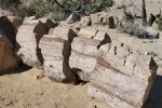
Keying off of the placemark on the ASCHG track, we took the short diversion to the ruins located 9/10ths from the trailhead. Like other ruins that  we’ve visited here in the Ojito, this is the remains of a small structure, maybe 15 feet across, built with the rock that abounds in the area. Continuing another 2/10ths of a mile we came across an elongated, cylindrical rocks: tree trunks but without telltale growth rings (somewhere I read that they may have been tropical, such as palm trees, which don’t have rings).
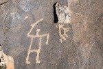
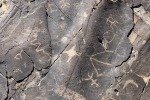
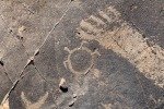
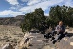
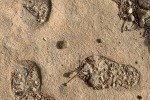
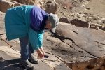
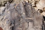
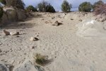
 The main feature of this hike is at the end of Dinosaur Ridge. This is where Seismosaurus was excavated – only a 30×50 foot area of loose sand marks the location. In addition ’tis here where there is a collection of petroglyphs on rock surfaces overlooking Arroyo la Jara. We paused here to have our mid-hike break/lunch.
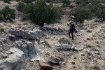
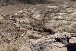
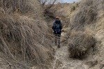
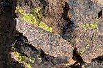
 From here we retraced our route for some distance, enough to find a descent into Arroyo la Jara to continue our hike towards Hoodoo Pines. Initially it looked daunting, but as the slope became less, we found a path down that involved only a bit of scramble. Down in the Arroyo we found fascinating rocks and other features that are so plentiful here in the Ojito. To continue west it was necessary to cross the deep ditch that nearly always lies at the bottom of these arroyos. We found a way into the ditch, then walked in the bottom for 300 yards or so until we found a break to climb out.
 There was no trail per se for the route we set out on towards Hoodoo Pines – this was ‘cross country’. We encountered various conditions – areas of rock, of hard surface, even tufts of grass. There was little elevation change, a 150′ climb up and down a ridge, and gradual ascent towards Bernalallito Mesa and Hoodoo Pines. About 3 miles into the hike, and with the afternoon wearing on, we decided to cut short of our goal of Hoodoo Pines. We cut across to join up with the Hoodoo Pines trail that would take us to Cabezon Road, then return to the parking lot. It proved to be a good choice, as the sun was nearing sunset by the time we got to the truck.
Highlight
Visits to the Ojito, and to Dinosaur Ridge, are always most enjoyable. Seismosaurus Trail is well used, an easy 1.25 miles with great reward at the end: the sand pit from which Seismosaurus was excavated, the petroglyphs, the strange rocks that look like petrified tree trunks, and the views. This is an ideal trail for the occasional hiker and especially for families.
Statistics
Total Distance: 4.56 miles
Elevation: start 5,876 ft, maximum 5,907 ft, minimum 5,726 ft
Gross gain: 181 ft. Aggregate ascending 552 ft, descending 551 ft
Maximum slope: 28% ascending, 32% descending, 3.7% average
Duration: 4:29
GPS Tracks
| GPS Track Files for Download | |
146 Downloads |
|
|---|---|
174 Downloads |
|
172 Downloads |
|
315 Downloads |
|
I urge you to explore our hiking tracks with Google Earth. With the virtual 3-dimensional presentation, achieved by panning and tilting the view, you can get a much better idea of the hikes and terrain than you can get from the 2-dimensional screenshot above. For assistance: Using Google Earth Track Files.
Previous Posts
Los Posos Hike – 02/25/2018
Hoodoo Pines Hike – 12/17/2017
Dinosaur Dig Hike – 01/29/2017
Hoodoo Pines Hike – 01/08/2017
All Ojito Hikes
References and Resources
BLM: Ojito Wilderness (PDF)
ASCHG: Dino Dig And Hoodoo Pines Hike
AllTrails: Seismosaurus Trail
Albuquerque Journal: Ojito a Badlands Art Gallery
Explore Azetc: Ojito Wilderness
The Armchair Explorer – New Mexico: Ojito Wilderness
Dog of the Desert: “Dinosaur Dig” Mesas in the Ojito Wilderness
American Southwest: Ojito Wilderness Area
Seismosaurus References
Columbia.edu: Seismosaurus Chapter (great story of “Dino Dig”)
Allosaurus Roar: New Mexico Museum of Natural History, Albuquerque, NM
Orlando Sentinel: Paleontologists Unearth New Dinosaur


