[Feb 2018: This is another ‘looking back’ entry in our Hiking Journal.]
This hike, to the crash site of a TWA airliner, is one of the ‘go to’ hikes in the Sandia Mountains. It begins in Albuquerque’s Elena Gallegos Open Space – from the parking lot head towards the Domingo Baca Trail via trails 141, 342, 230a, and 230.
The Hike
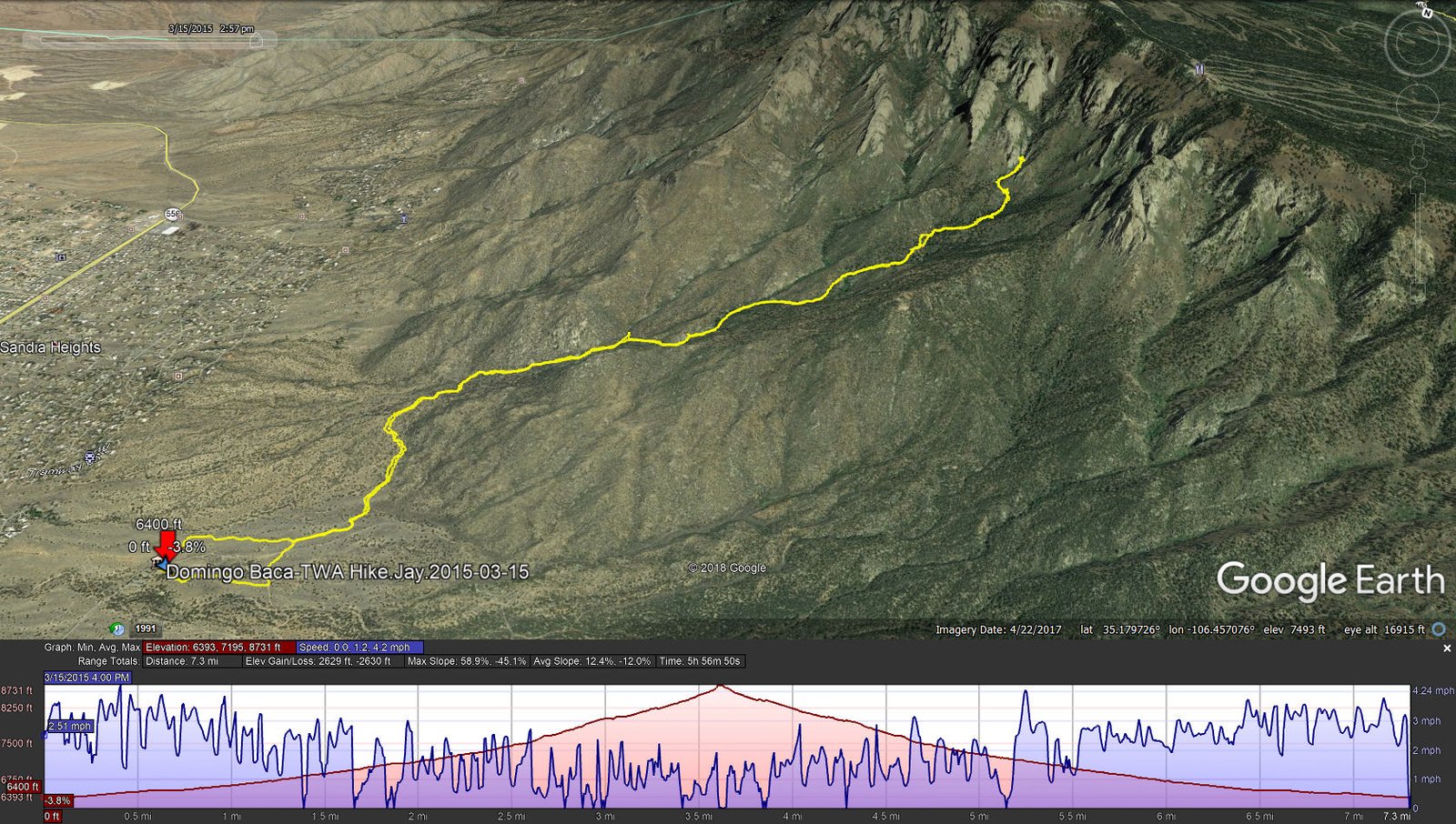
Domingo Baca-TWA Hike.Jay.2015-03-15
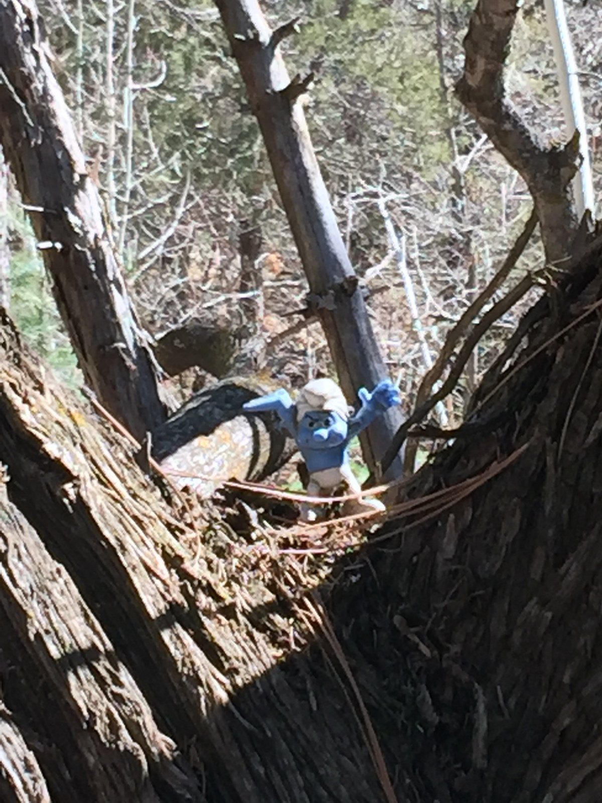
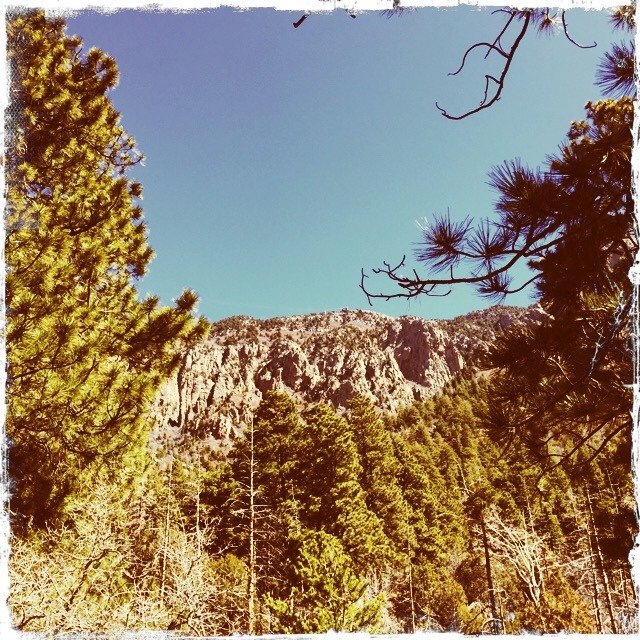
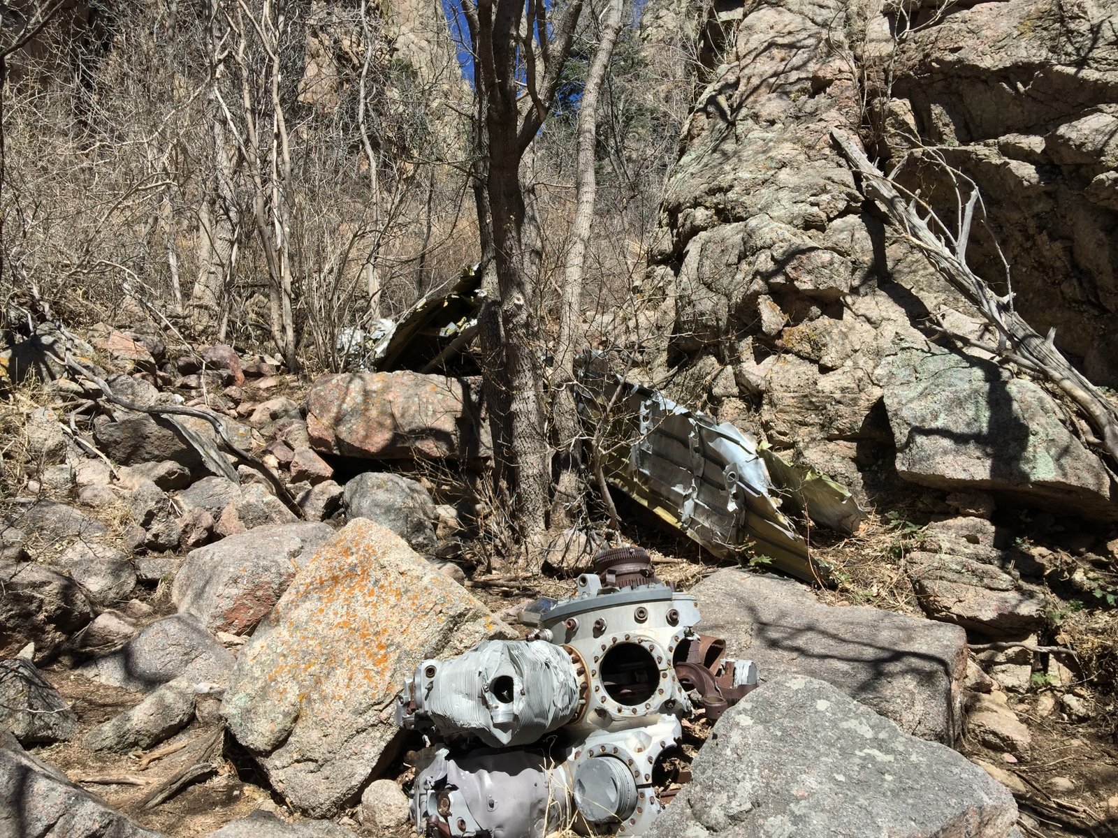
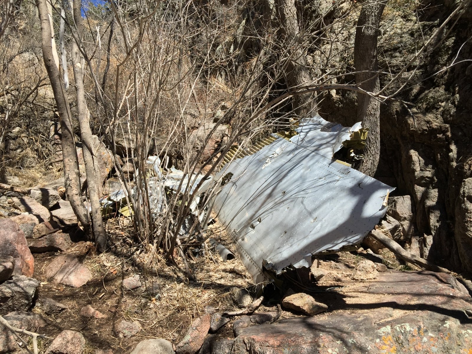
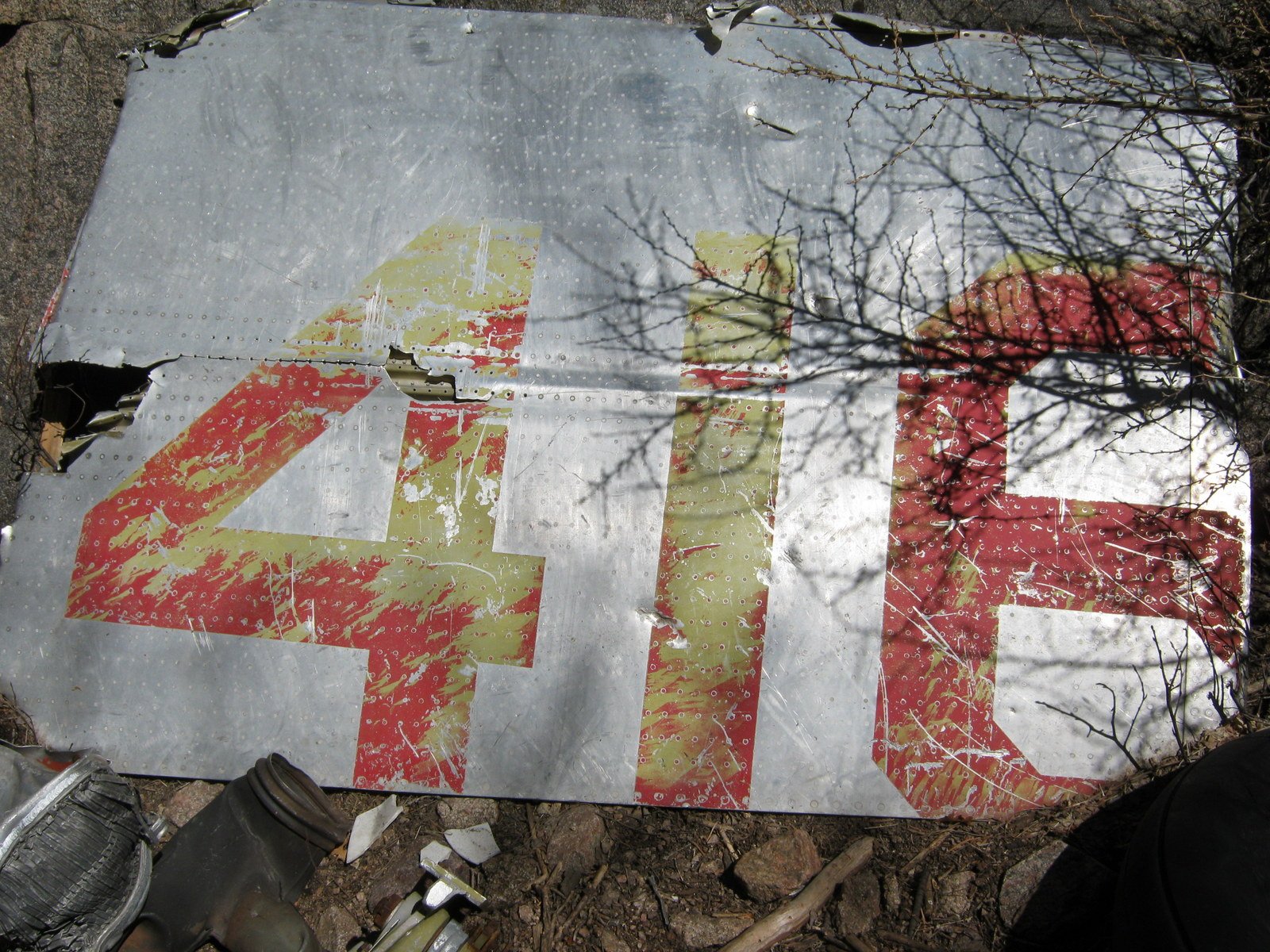
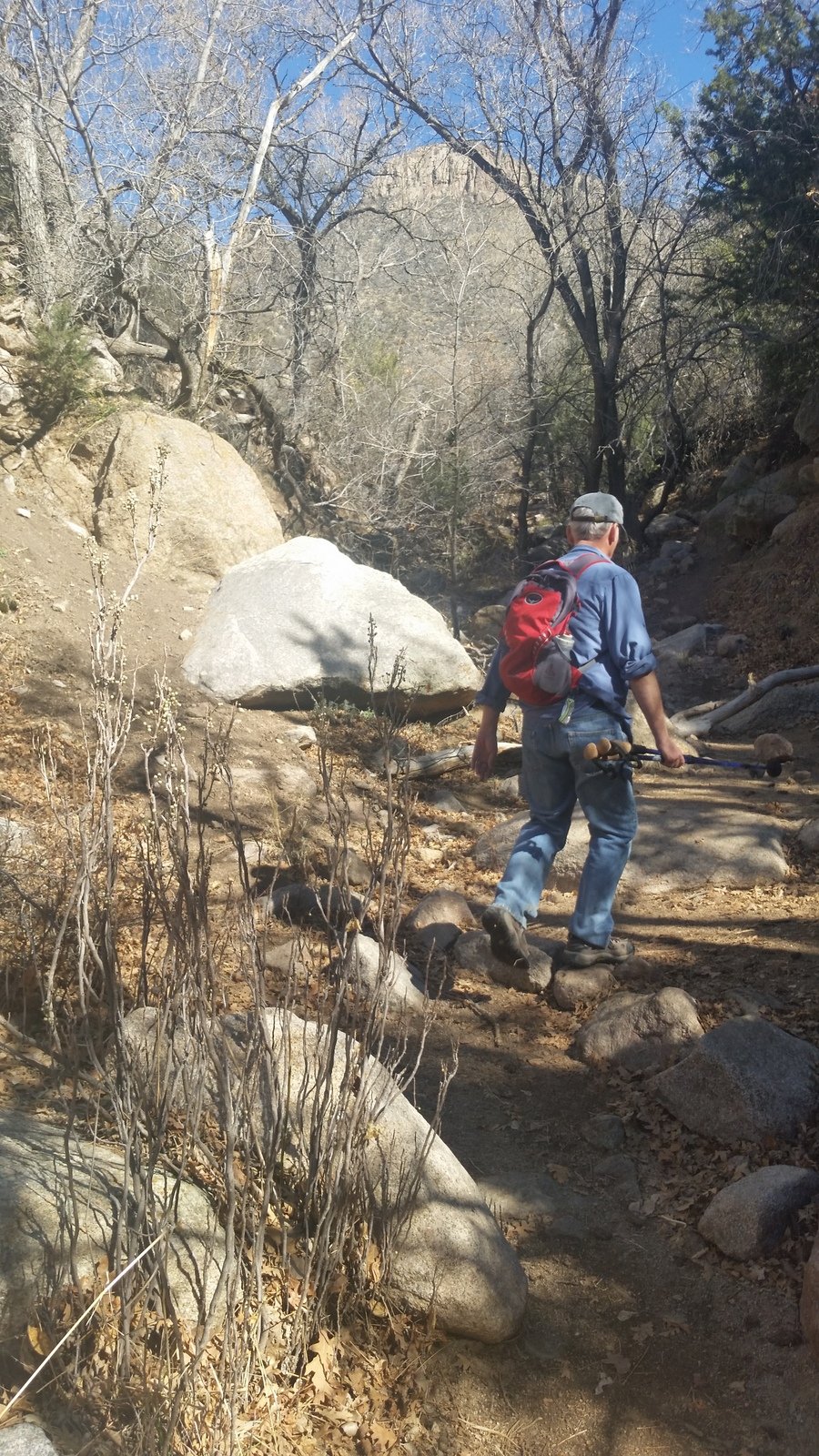
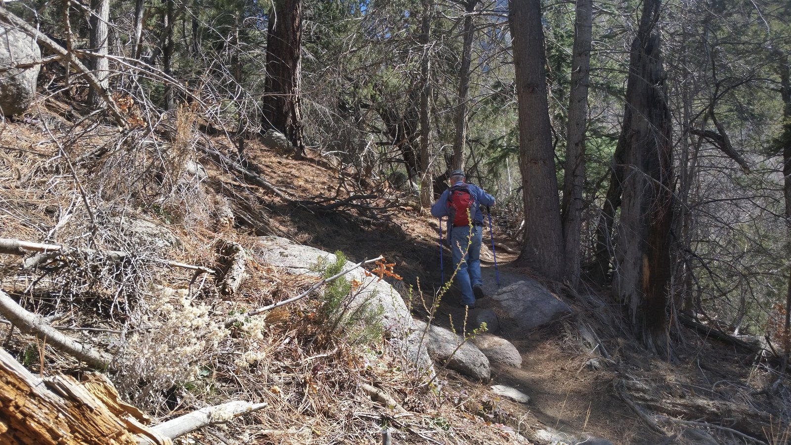
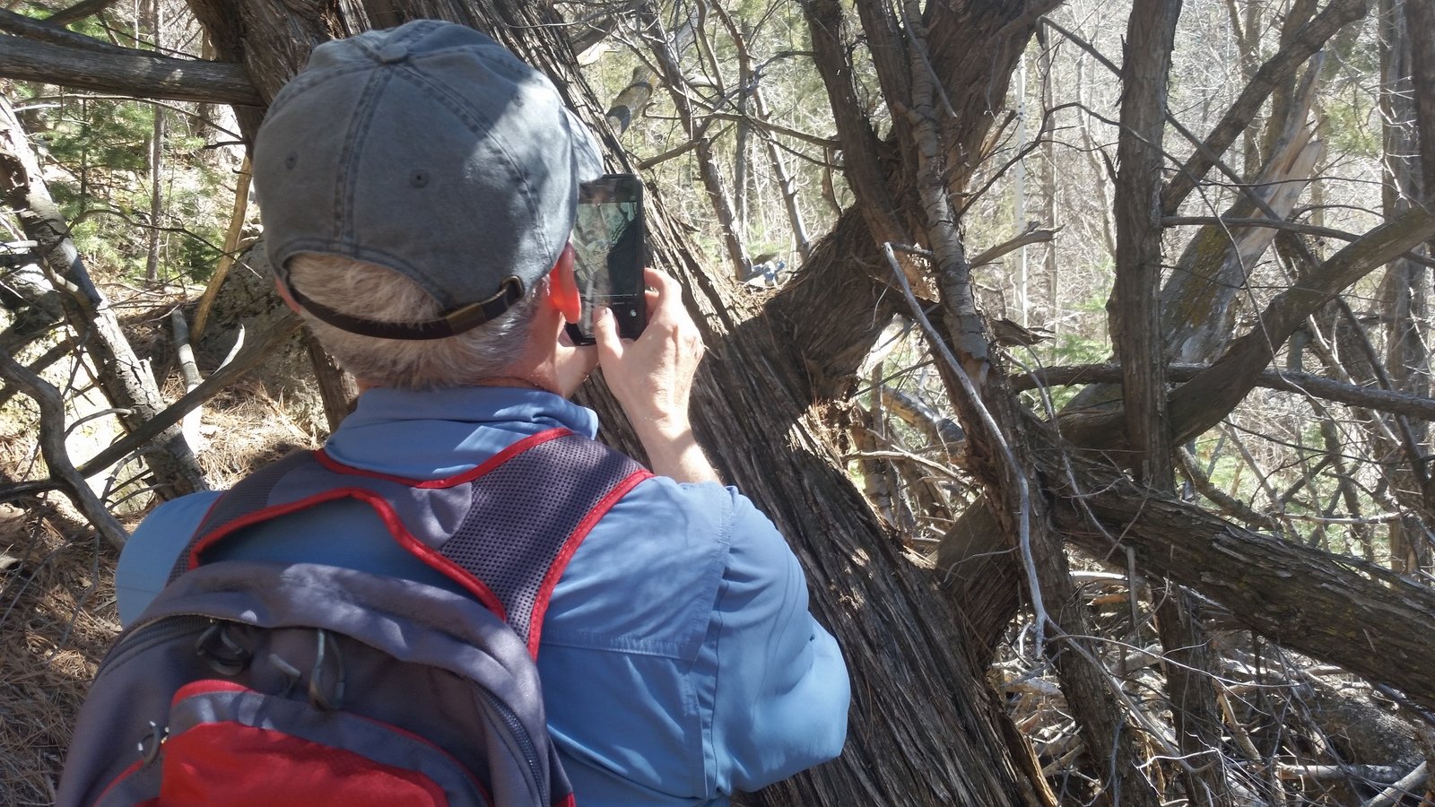
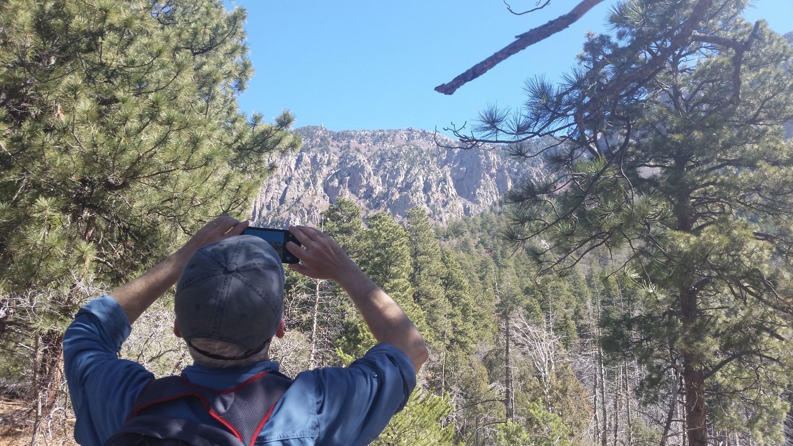
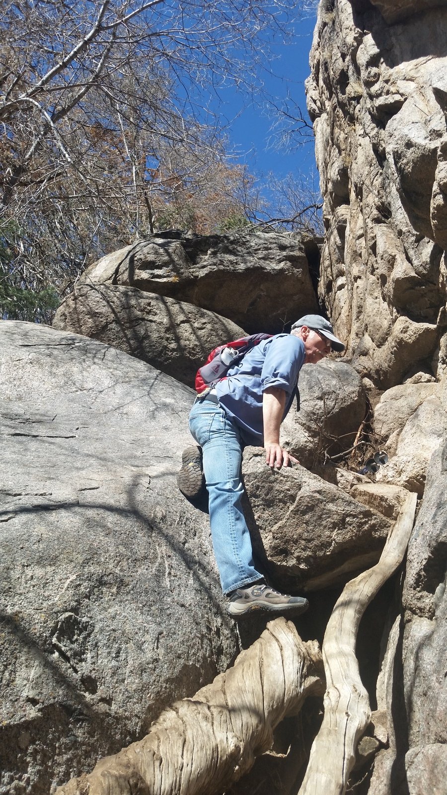
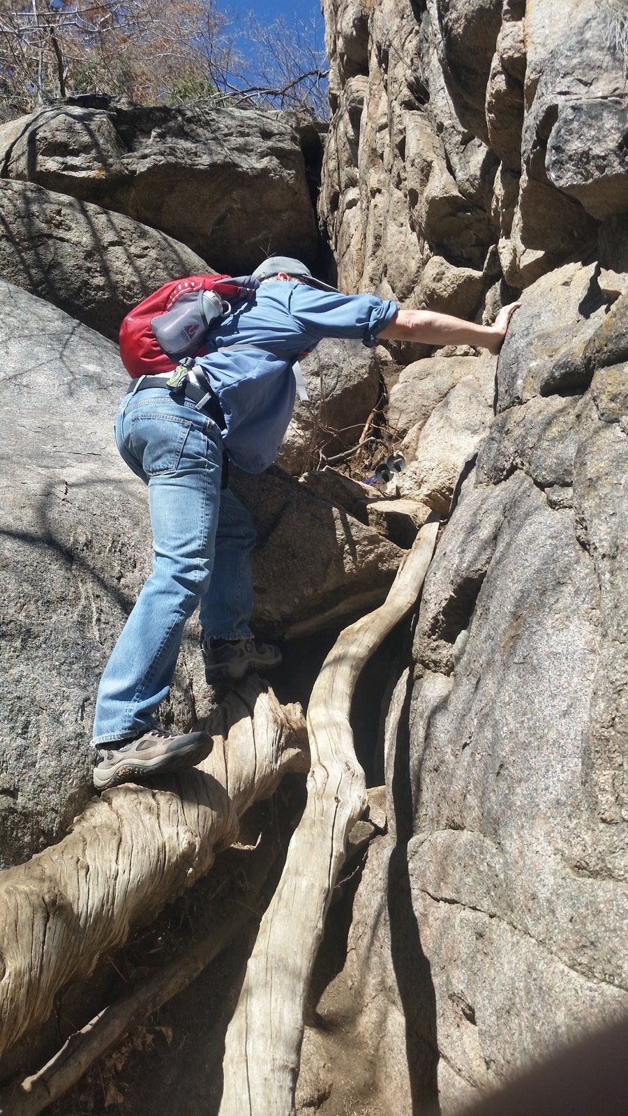
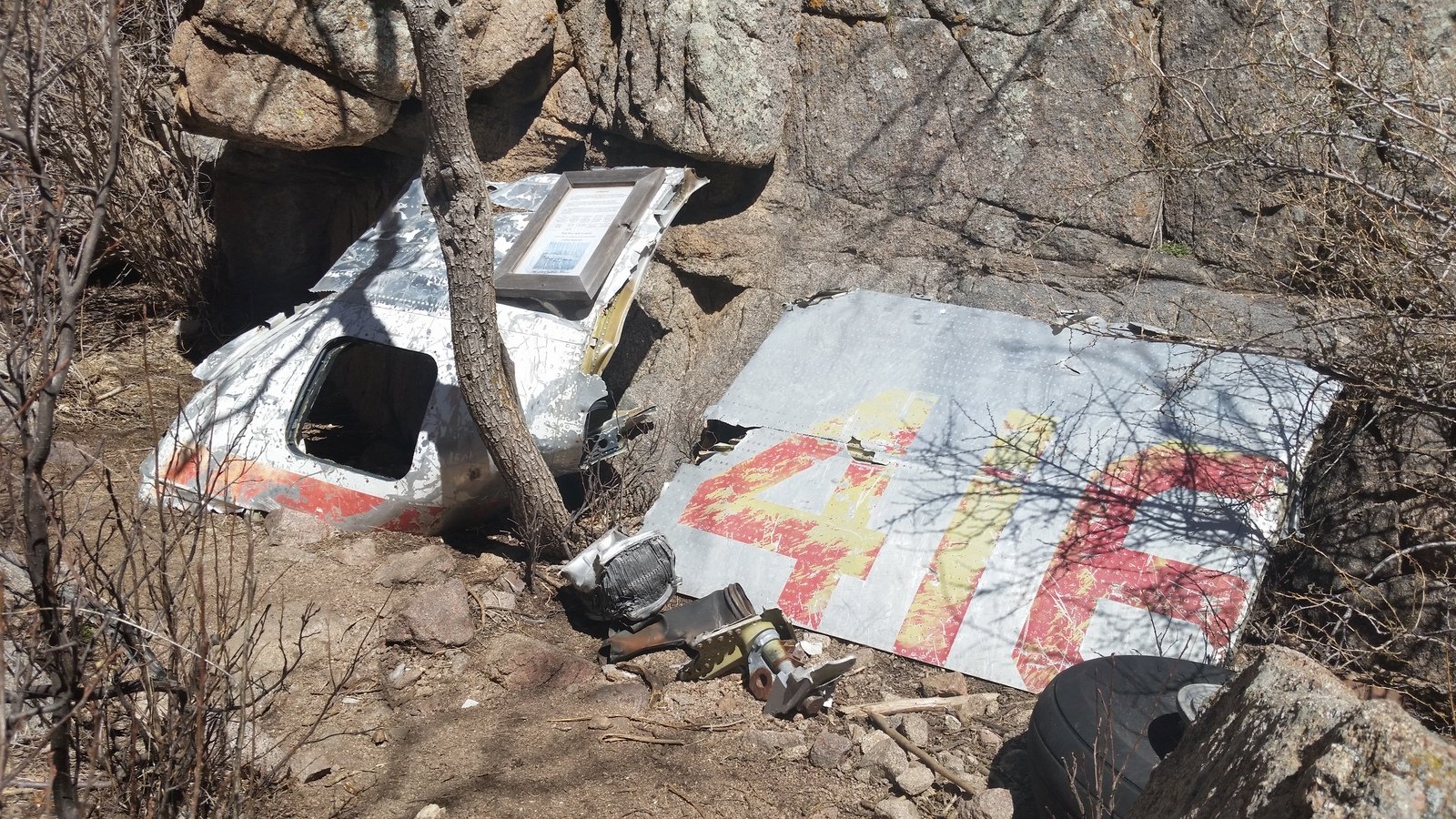
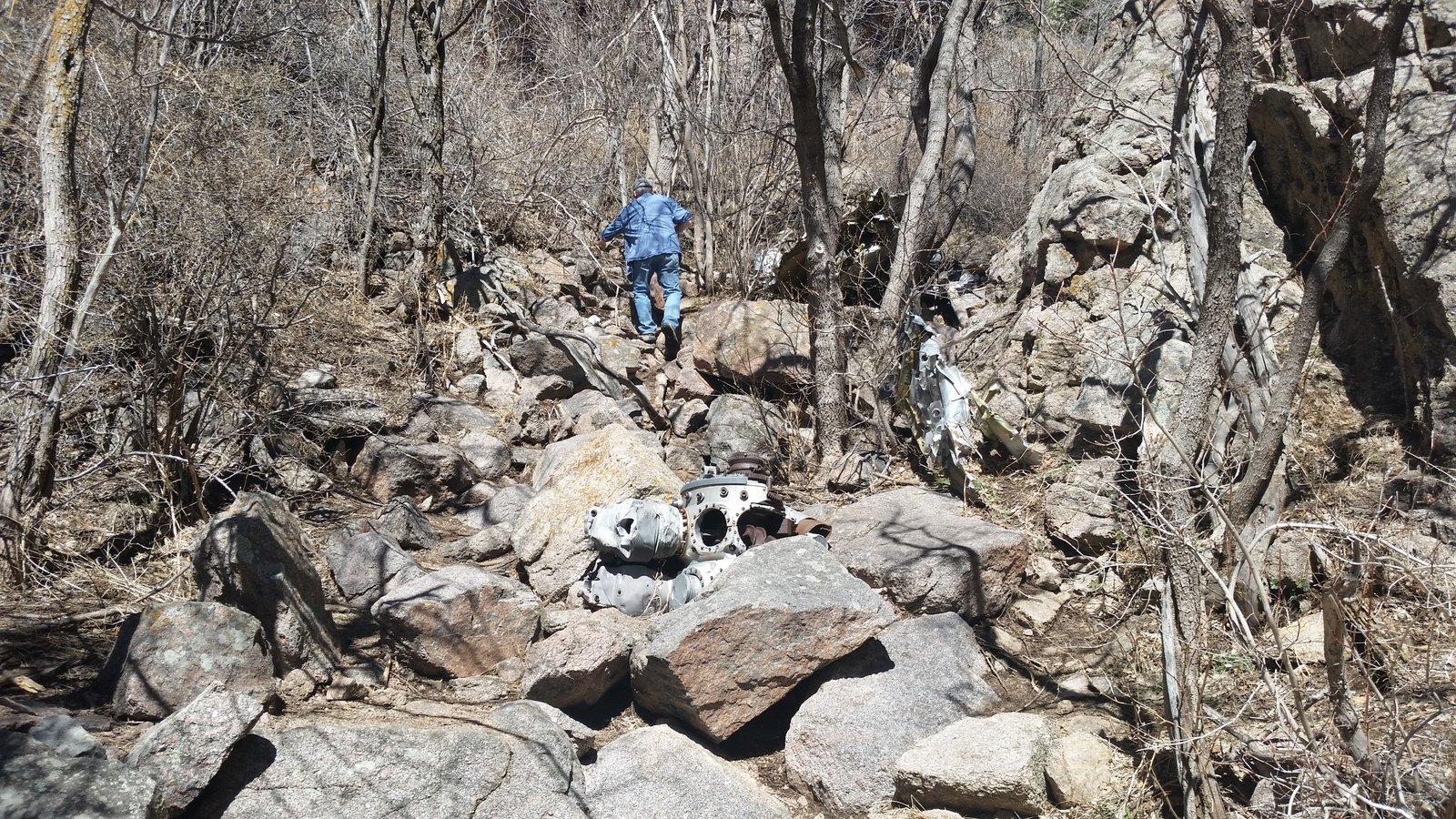
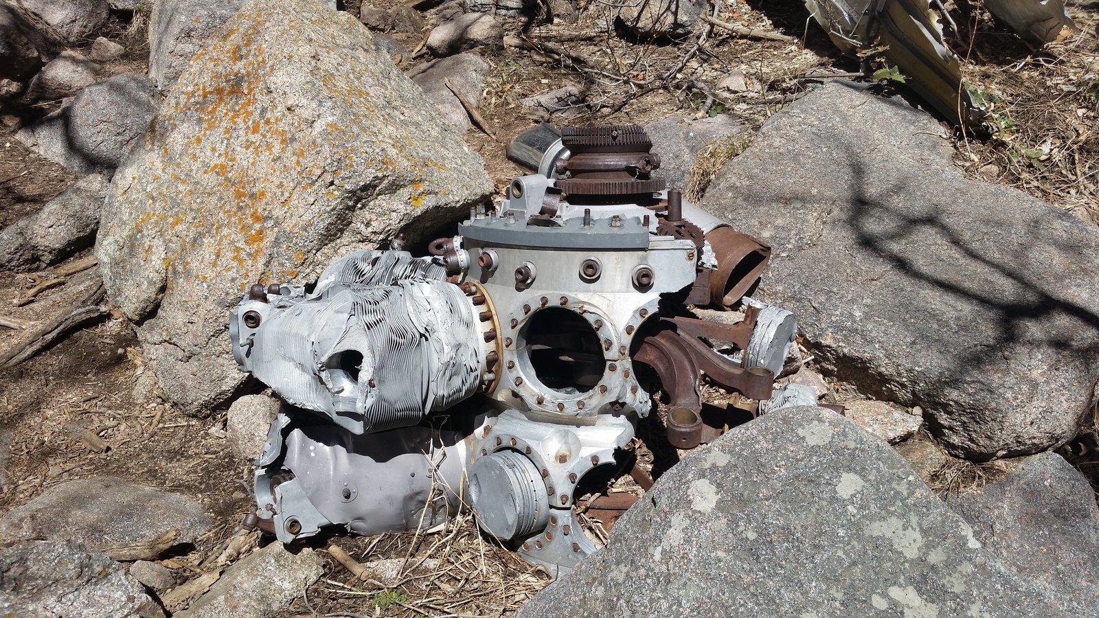
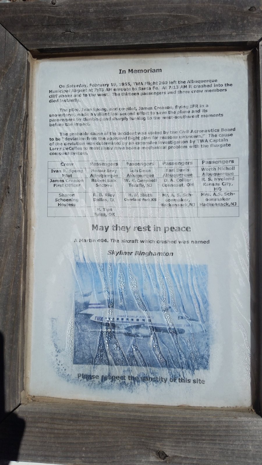
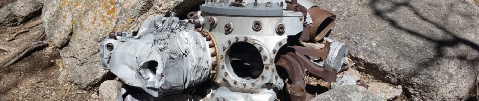
We entered the Sandia Mountains Wilderness Area from trail 230 and followed the well-used Baca Trail. Soon we were in the lower reaches of the canyon, which will become progressively narrower as you climb. Throughout the views of the face of Sandia Crest are stunning. About 2.25 miles into the canyon we encountered a daunting rockfall that was a challenge to overcome. By then we were near the TWA site and there was no turning back; it was only some 300 yards further. At the site, we looked about the area, finding various parts of the plane, reading the information sheet, and thinking of the passengers and crew who perished in the crash.
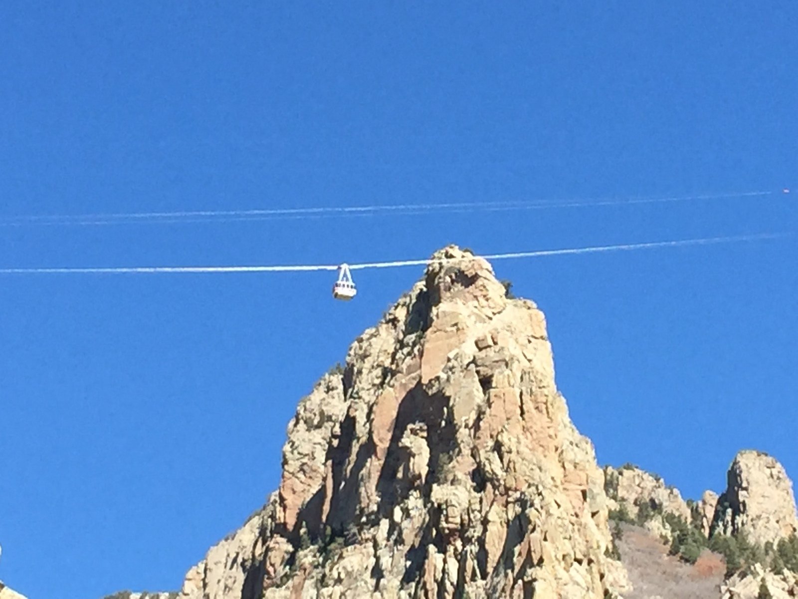
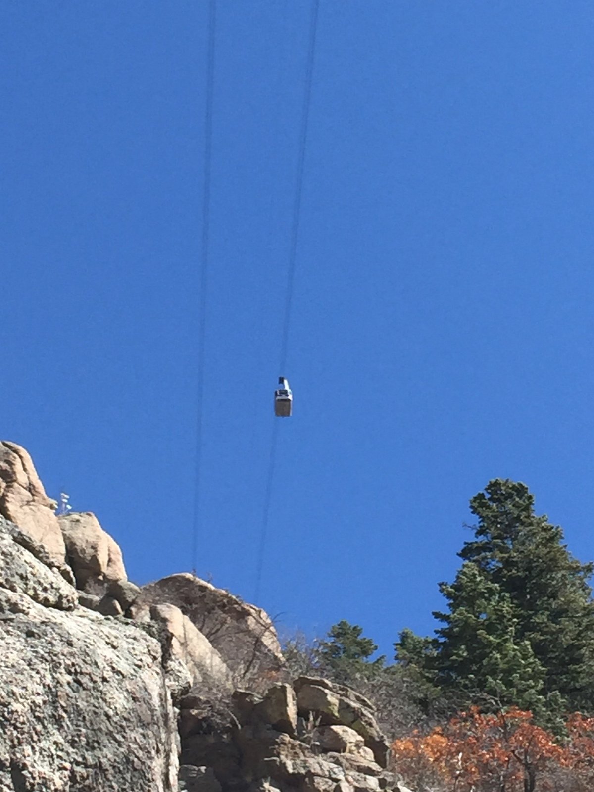
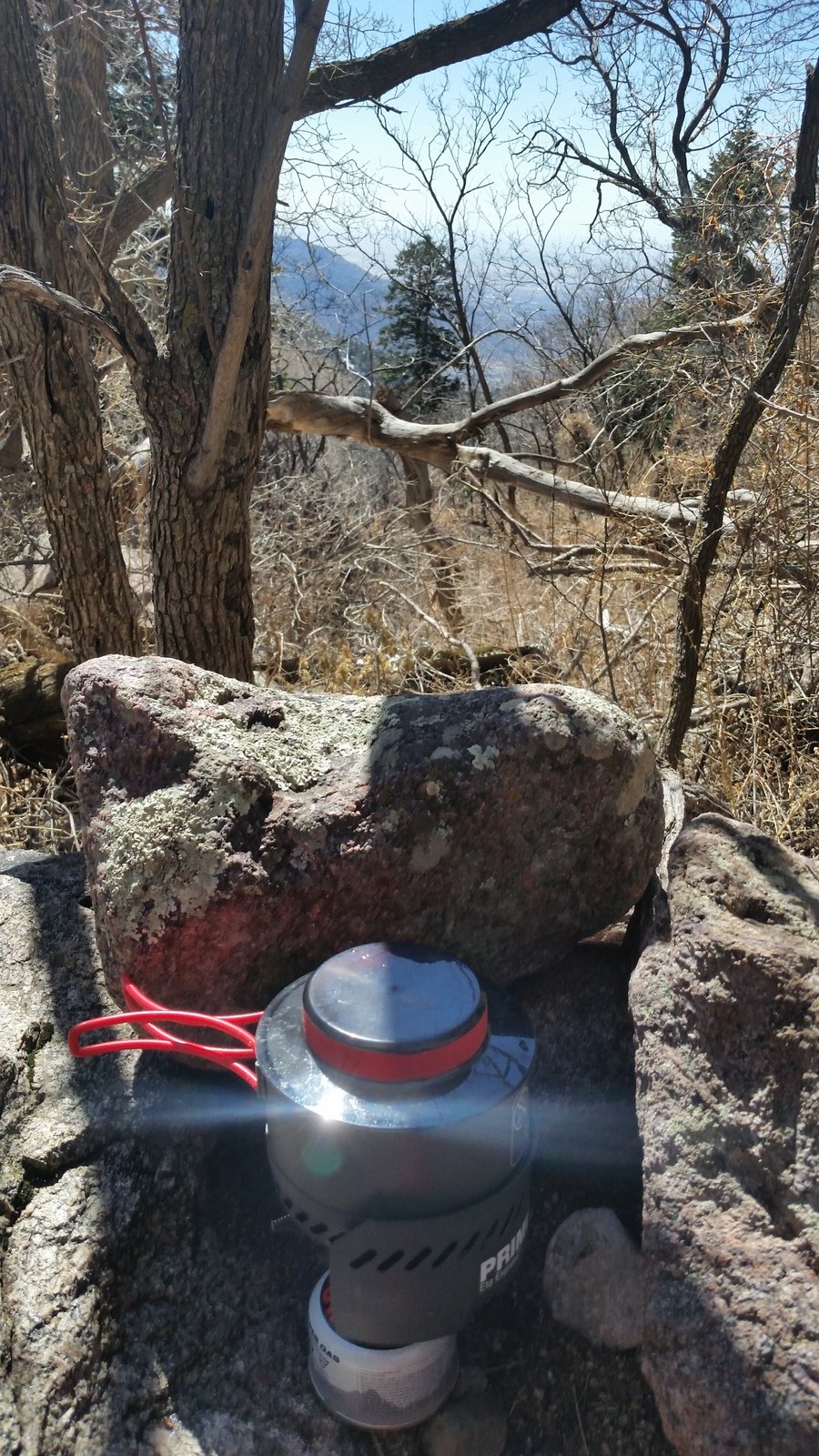
While we enjoyed our mid-hike break, we watched cars of the Sandia Peak Tramway pass far overhead. (One -can- see the crash site from the Tram, and if the sun angle is right see a glint of reflection from one of the aluminum panels.)
Jay here: Funny, the way I remember it, the 300 yards past the big rockfall were some of the toughest hiking we’ve ever done. You could hardly call it a trail, which underscored for me how difficult it must have been for rescuers to get to the original crash site.
Statistics
Total Distance: 7.3 miles
Elevation: start 6,393 ft, maximum 8,731 ft, minimum 6,393 ft
Gross gain: 2,338 ft. Aggregate ascending 2,629 ft, descending 2,630 ft
Maximum slope: 59% ascending, 45% descending, 12% average
Duration: 5:57
| GPS Track Files for Download | |
245 Downloads | |
|---|---|
178 Downloads | |
If you haven’t explored these hiking tracks with Google Earth, I urge you to try it. With the virtual 3-dimensional presentation, achieved by panning and tilting the view, you can get a much better idea of the hikes and terrain than you can get from the screenshot above. For some ideas, check out Using Google Earth Track Files.
References and Resources
Sandia Mountain Hiking Guide: Domingo Baca Trail, TWA Canyon
ondafringe: Domingo Baca Trail To TWA Canyon
ASCHG: Domingo Baca TWA Route Hike
Hiking Project: Domingo Baca Trail/TWA Flight 260 crash site
AllTrails: Domingo Baca Trail #230
SummitPost: Domingo Baca and TWA Canyon (includes history of crash)
Yelp: TWA Plane Crash Hiking Trail
Wikipedia: TWA Flight 260
Santa Fe New Mexican: TWA Canyon: A challenging trek to tragic locale Albuquerque Journal: Remembering TWA 260: Man on a Mission To Keep memory Alive
University of New Mexico Press: The Crash of TWA Flight 260
Aviation Safety Network: Report