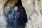
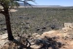
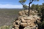
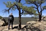
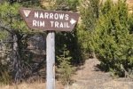
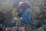
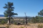
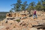
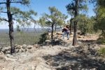
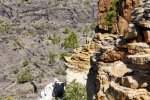
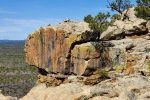
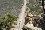
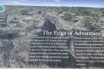
We’ve looked forward to hiking the Narrows Rim Trail a the Malpais for some time – and doing it this time of year (spring or fall)! The trail begins at the south end of the Rim in El Malpais National Conservati0n Area. The Rim is a sheer cliff 300-500 feet above the road along the eastern border of the lava flow. The hike runs along the edge of this cliff with a great view across El Malpais National Monument (the area of the lava flow) and beyond to the Zuni Mountains.
This Rim Trail is one of the more accessible and easy trails we’ve found. ‘Tho an hour and half from home, the trip is easy and relatively quick – I-40 for 60 miles, then 20 miles on a state highway with interesting scenery along the way. The trailhead is just off of the highway, in the past a campground so there is plenty of parking and a pit toilet.
The Drive In
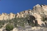
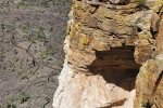
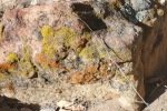
From Albuquerque, drive west on I-40 for 60 miles, turn left onto NM 117, continue for 21 miles. At about 18 miles the road enters The Narrows, a 3 mile narrow corridor between the lava and a 500 foot sandstone mesa. At about 17 miles you will pass La Ventana, a very large arch in the wall of the canyon. Then into The Narrows – not much notable about the view to the right (lots of lava), but the view to the left is amazing – the various layers of sediment exposed in the cliffside and the huge rocks that have detached and fallen down the face of the cliff.
The Hike
Notes about the Google Earth screenshot: the graph at the bottom shows elevation of the track (pink area) and speed (the blue line).

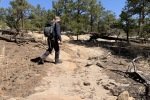
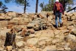
From there the trail presents a steady, shallow climb on a surface sometimes sand, or gravel/rocks, or in many places flat rock outcroppings (when among the latter, there are rock cairns that help one stay on the trail).
Highlight
Prior to moving here from Virginia, we were once asked by a local there: “Why are you moving to New Mexico?”. It wasn’t long after our move and while exploring New Mexico’s wonderful open spaces that we started asking the rhetorical question “Why?!”. As we enjoyed another “special” place in this Land of Enchantment, I realized that we might be beyond “Why?”. As we hiked among ponderosa, piñon, and juniper trees, among fascinating rock formations, under a -clear blue- sky, and with amazing views near and far all around, a more appropriate exclamation might be “Because!”
Statistics
Total Distance: 4.87 miles
Elevation: start 7,078 ft, maximum 7,412 ft, 7,077 minimum ft
Gross gain: 335 ft. Aggregate ascending 1,318 ft, descending 1,319 ft
Maximum slope: 37% ascending, 37% descending, 8.0% average
Duration: 4:51
| GPS Track Files for Download | |
104 Downloads |
|
|---|---|
0 Downloads |
|


