See Cerro Chango Hike – 01/24/2026 for an introduction to this Excursion from Ciudad de Oaxaca to Tuxtepec and the Chinanteca region of the State of Oaxaca.
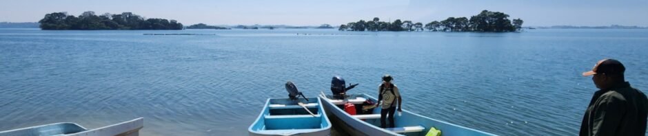
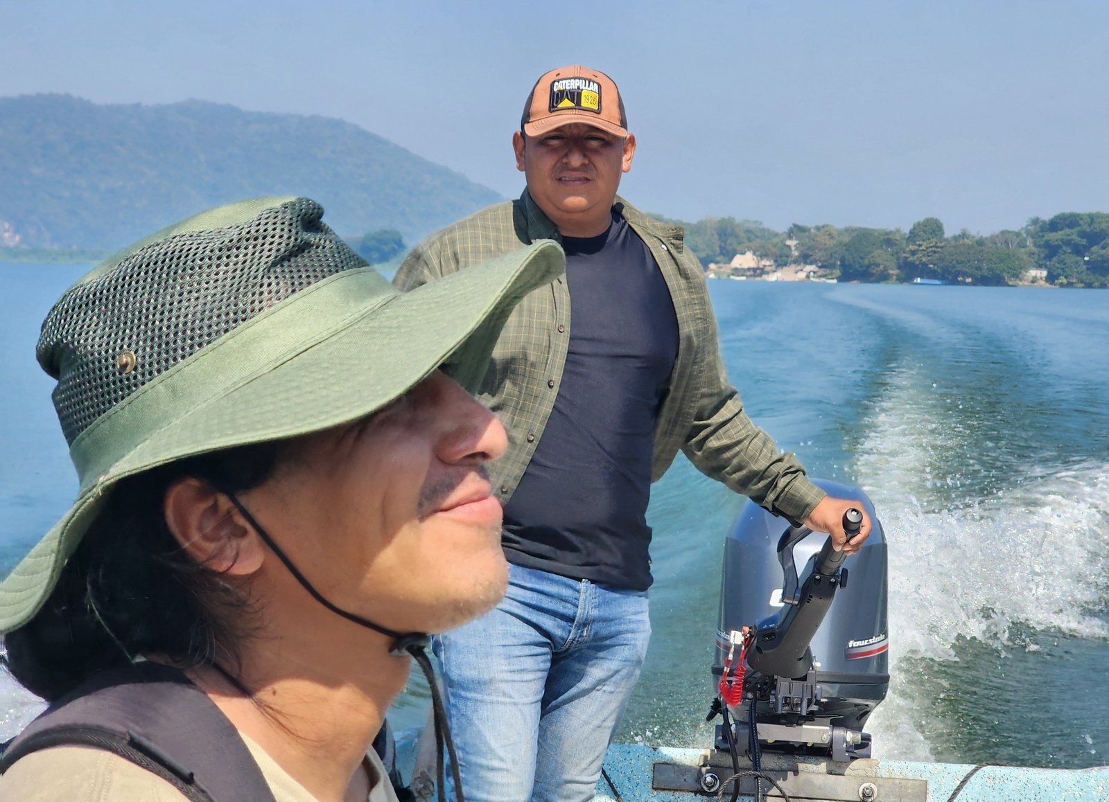
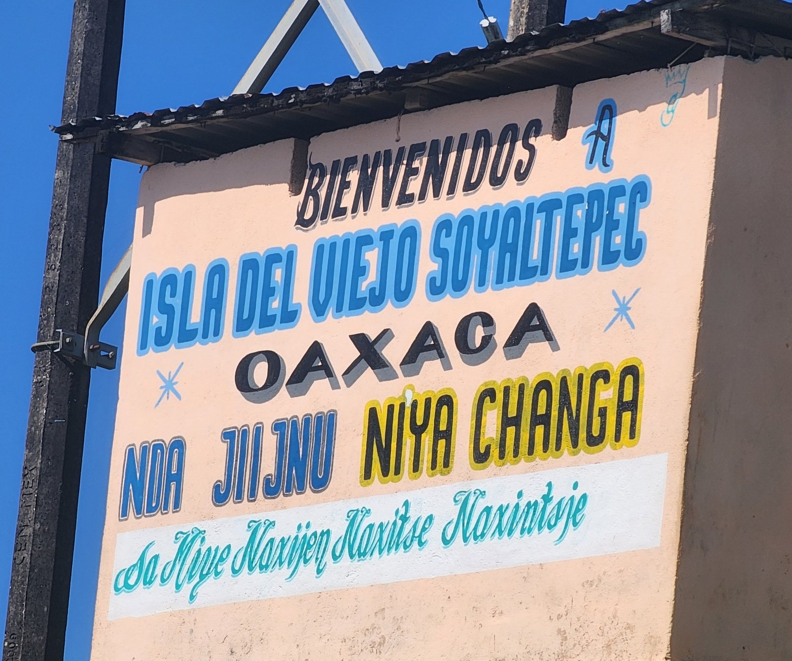
Our friend and guide, José, set us up to visit Oaxaca’s large lake, Miguel Alemán, a place quite different than any other that we’ve visited in Oaxaca. The goal was to visit the island Isla Soyaltepec and a family who produced textiles unique to their culture.
The Drive In
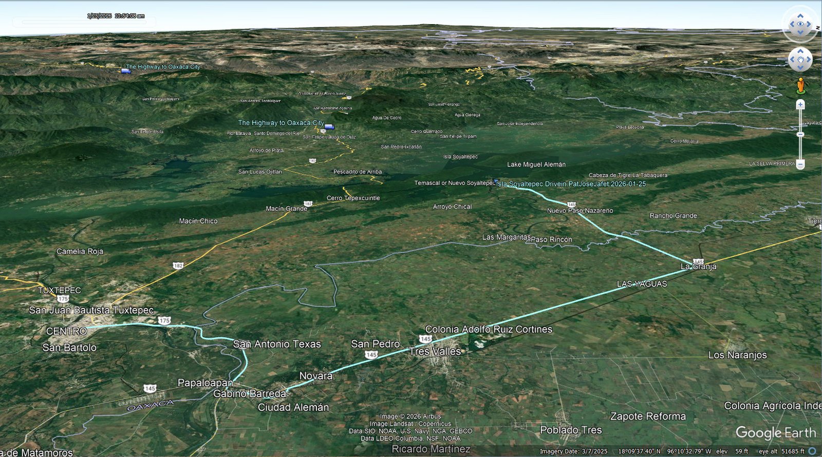
Isla Soyaltepec Drivein.PatJoseJafet.2026-01-25 … Notes about the Google Earth screenshot: Click on the image for a full-screen view.
This venture began with a drive from Tuxtapec to the small town of Temascal. Then by boat across the lake, between two islands, to the village of Soyaltepec (about 7.5 miles). For Pat and me, it was a treat to be out on the water bringing into memories years of sailing. Arriving at the landing on the Isla, we headed -uphill-, our Walkabout.
PS: After our Walkabout, we boarded the boat again then taking a quite long ride first to San Pedro Ixcatlán for petrol, then a long boat ride to Nuevo Pescadito de Abajo Dos, close to the highway for our return to Tuxtapec.
The Walkabout
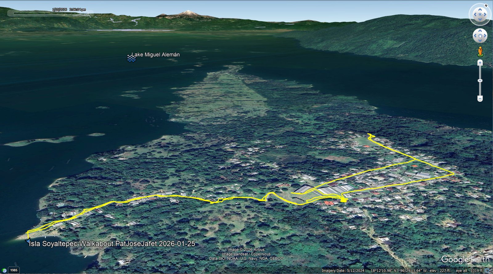
Isla Soyaltepec Walkabout.PatJoseJafet.2026-01-25 … Notes about the Google Earth screenshot: Click on the image for a full-screen view.
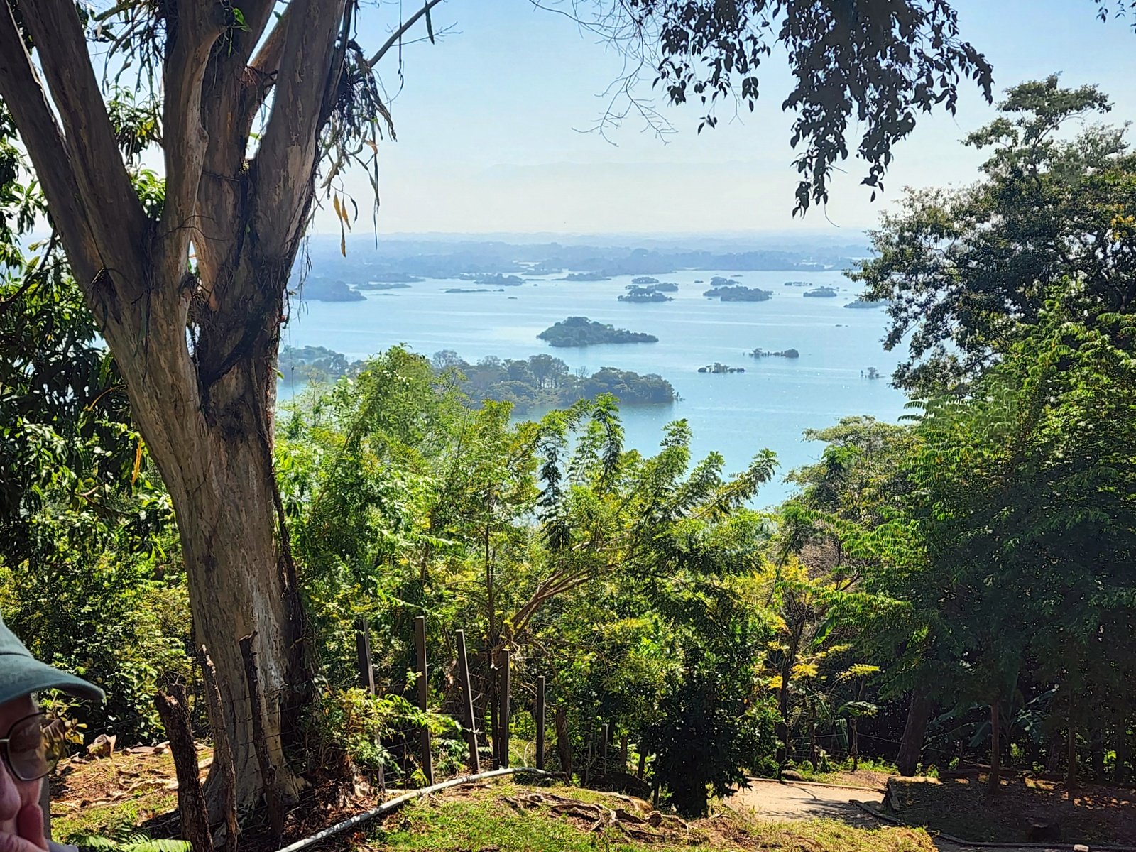
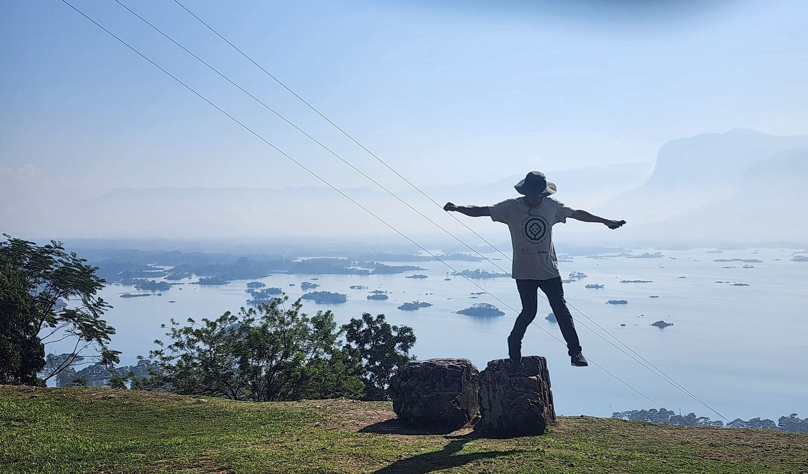
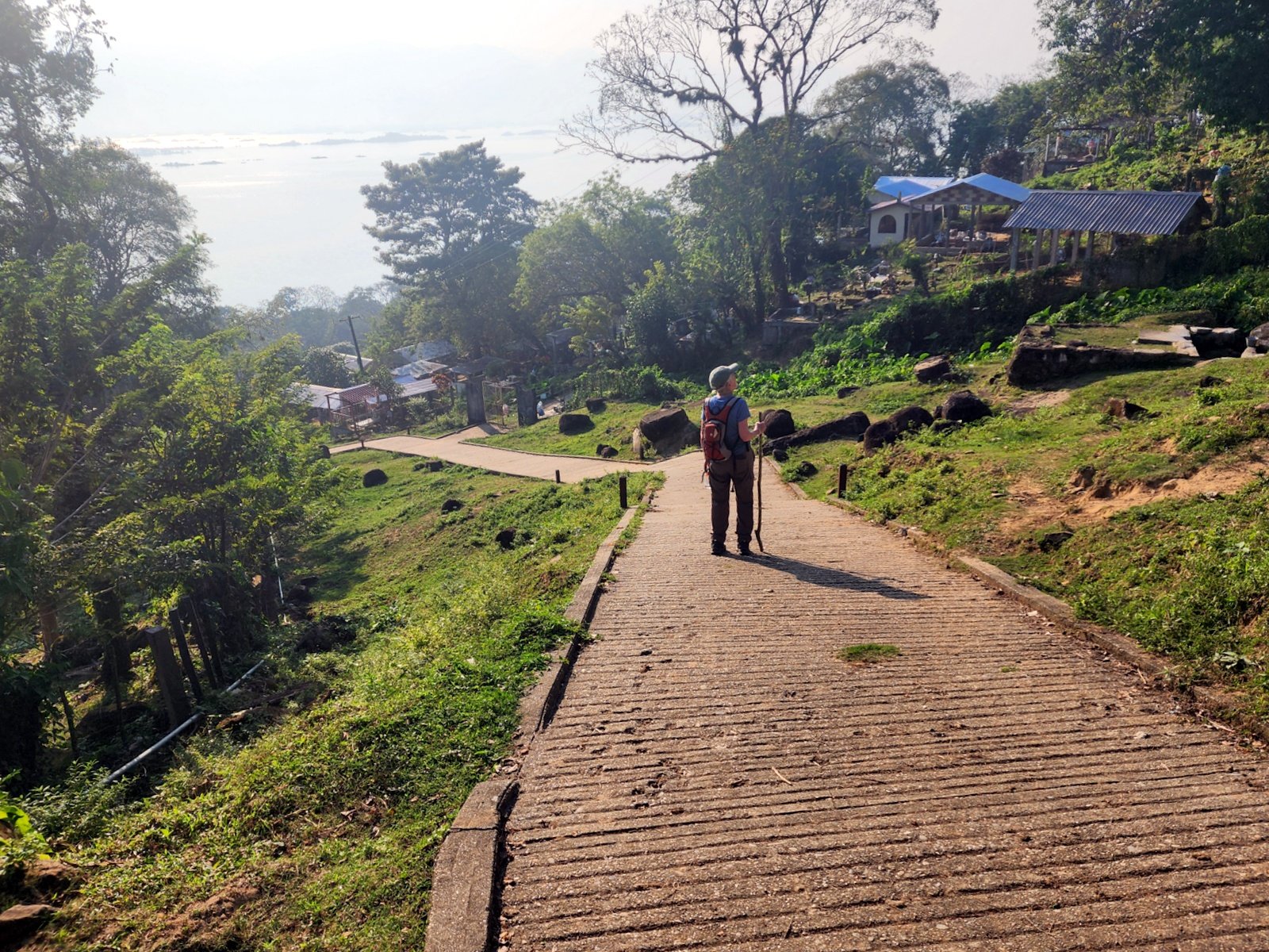
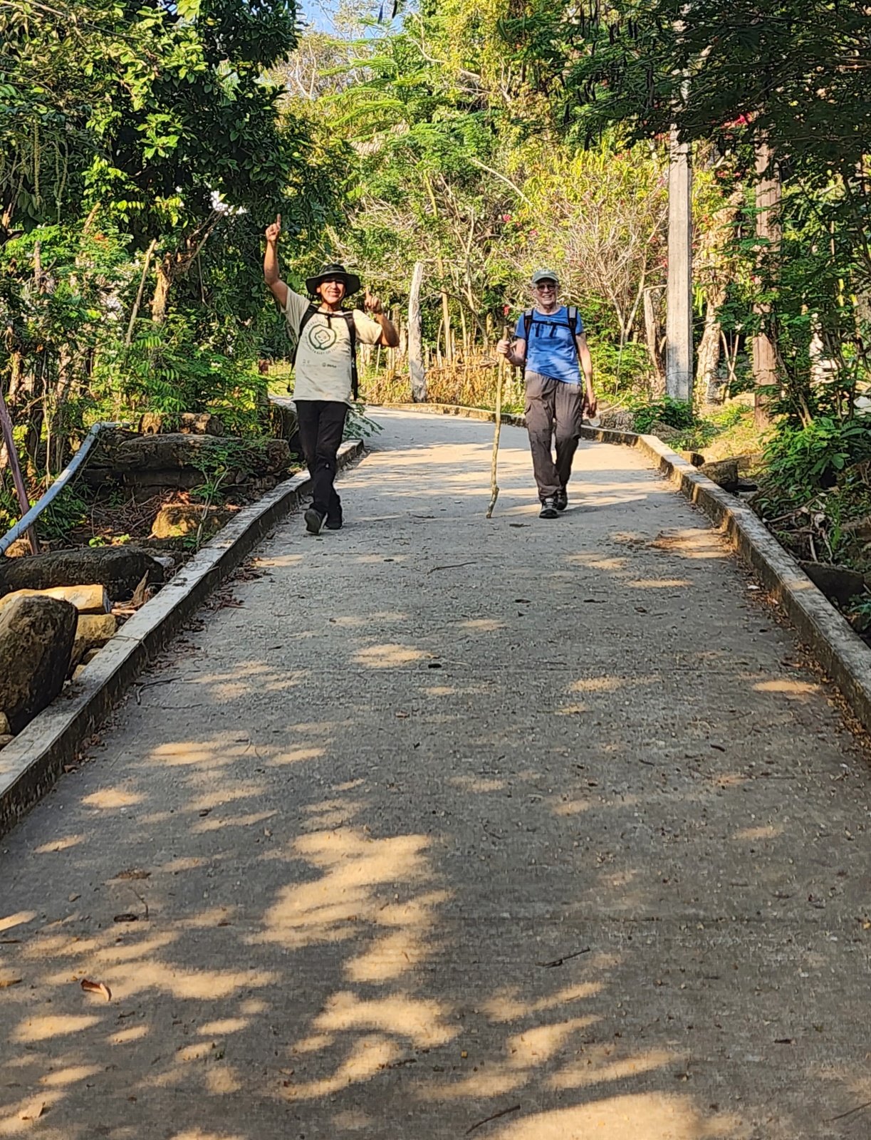
Although the primary reason for visiting Isla Soyaltepec was to meet indigenous weavers, the ‘walkabout’ is worth describing. Disembarking from the runabout after the trip across Lake Miguel Alemán, we were faced with a -very steep- paved road from the dock to the ‘top’ of the island. We climbed from 245 feet MSL to 700 feet, nearly 500 feet in less than .4 mile. Nearly a 30% continuous grade was a challenge for us, e.g. memorable, for having done little hiking in recent months.
Once up on tip, we enjoyed touring the village, including their church, and visiting with the family and seeing the textiles that they produce. Oh yeah, then there was the descend back to the dock and the long boat ride (more on that in another story).
Statistics
Total Distance: 1.92 miles
Elevation: start 240 ft, maximum 708 ft, minimum 240 ft
Gross gain: 468 ft. Aggregate ascending 468 ft, descending 468 ft
Maximum slope: 55% ascending, 55% descending, % average
Duration: 3:40, Average Speed: NA mph, Shade: 00%
| GPS Track Files for Download | |
52 Downloads | |
|---|---|
58 Downloads | |
60 Downloads | |
56 Downloads | |
| Link to GAIA GPS: “Isla Soyaltepec Walkabout.PatJoseJafet.2026-01-25” | |
| If you haven’t explored these hiking tracks with Google Earth, give it a try. With the virtual 3-dimensional presentation, achieved by panning and tilting the view, you can get good idea of the hike and the terrain. For some ideas, check out Using Google Earth Track Files. | |
Related Posts
Photos
Views to date: 13 views.