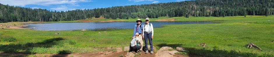
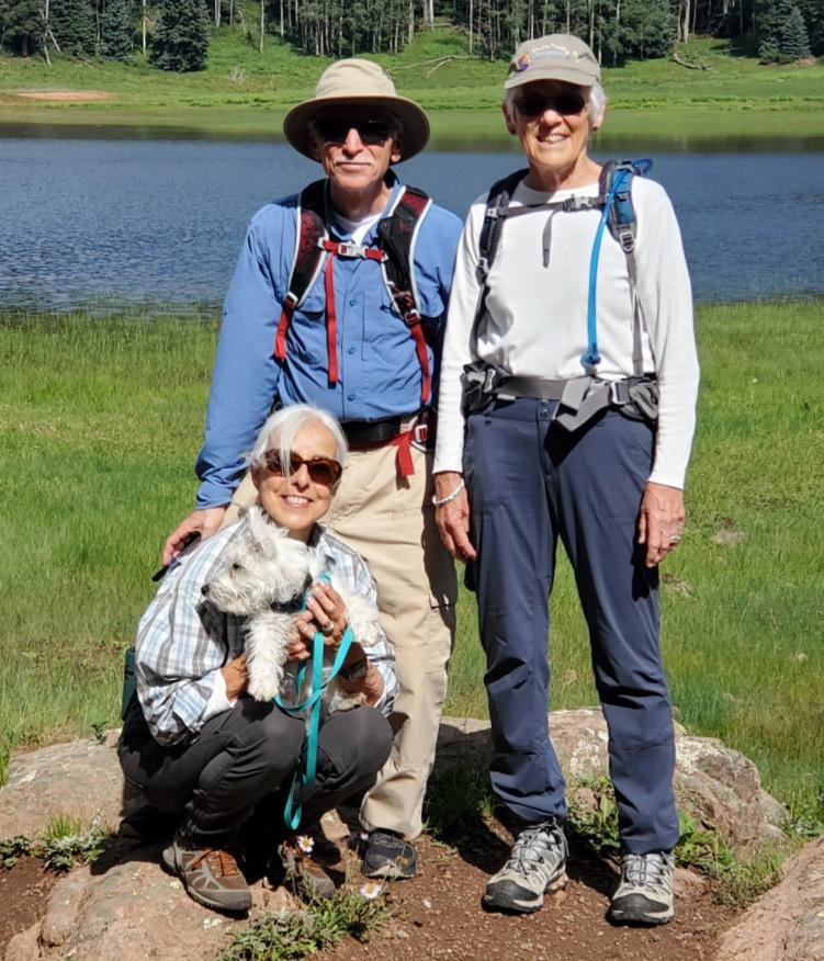
 Our 2nd hike during a 3-day camping trip to San Pedro Parks, with Jay and Nancy and their new dog, Bo. ‘Tis a trail that we’ve hiked before, a very pleasant hike through open forest, past San Gregorio Reservoir and to the edge of Vallecito Damian. (Past posts for this trail were titled “San Gregorio Lake Hikes”. The trail is also considered part of the Clear Creek Trail.)
The Drive In
From the Rio de las Vacas Campground, drive west on NM 126 for about 2 miles, turn right onto FR 70, a good Forest Road (Class3). In about 6 miles, the trailhead will be on the left. The parking will be an area on the right.
The Hike
Vacas Trail Hike.PatJayNancyBo.2022-08-02 (KML)
Notes about the Google Earth screenshot: the graph at the bottom shows elevation of the track (pink area) and speed (the blue line).
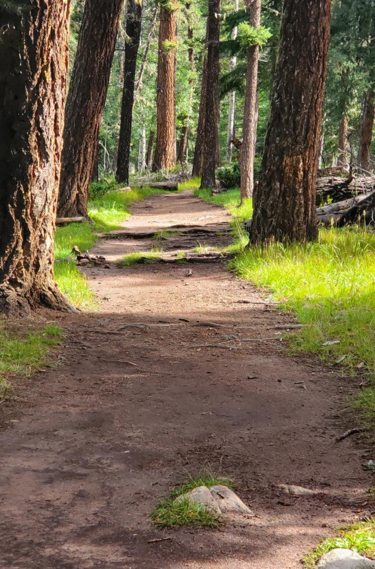 This is a very easy trail, as are many on San Pedro Parks – wide, smooth path, open forest, little elevation change. From parking, San Gregorio Reservoir is a mile in. Bo, still a puppy, was tiring from the hiking the past two days, so Jay and Nancy “lounged” around the lake while Pat & I continued on up the trail.
On arriving at Clear Creek, near where it enters into the Reservoir, we came upon a group of youngsters playing in the water. (Tents and adults were nearby,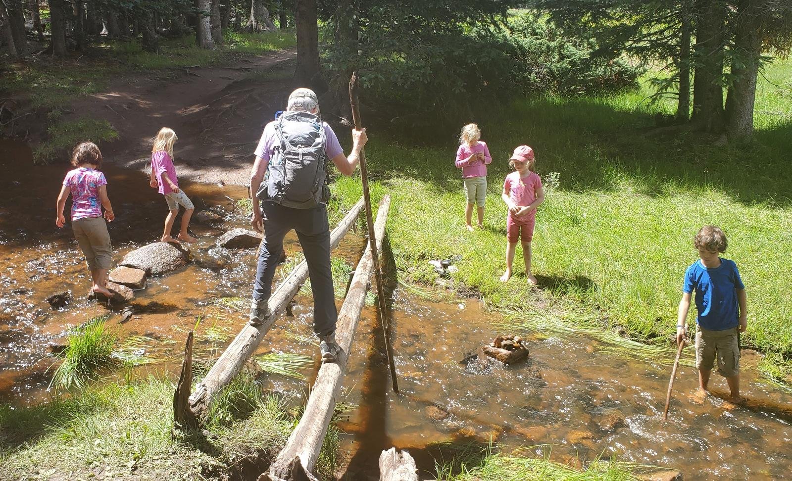 suggesting that they were camping in this beautiful place.) With the boisterous Monsoon Season this year, Clear Creek was running well, but not so high that we weren’t able to cross on a pair of logs, as the youngsters watched (or continued their play).
We continued on the trail, encountering a few deadfall trees across the trail, easily overcome (over or around). Going out far enough to get in a 4 mile hike, we turned back at the edge of Vallecito Damian and met Jay, Nancy, and Bo for lunch. Then made the easy walk back to parking.
Statistics
Total Distance: 3.94 miles
Elevation: start 9,223 ft, maximum 9,419 ft, minimum 9,223 ft
Gross gain: 196 ft. Aggregate ascending 654 ft, descending 663 ft
Maximum slope: 24% ascending, 18% descending, 5.2% average
Duration: 2:37
| GPS Track Files for Download | |
270 Downloads | |
|---|---|
202 Downloads | |
If you haven’t explored these hiking tracks with Google Earth, I urge you to try it. With the virtual 3-dimensional presentation, achieved by panning and tilting the view, you can get a much better idea of the hikes and terrain than you can get from the screenshot above. For some ideas, check out Using Google Earth Track Files.
Related Posts
Rio de las Vacas Walkabout – 07/31/2022
Peñas Negras Trail Hike – 08/01/2022
Hikes in San Pedro Parks
References and Resources
USDA Forest Service: Vacas Trail/San Gregorio Lake Trailhead #51
AllTrails:
San Gregorio Reservoir
Clear Creek Trail
Dog of the Desert: Clear Creek in the San Pedro Parks Wilderness
Only in Your State: San Gregorio Reservoir …
The Outbound: Backpack the Vacas Trail Loop
Astec NM: San Pedro Parks Wilderness Trails (pdf)


