Our first hike in the San Pedro Parks Wilderness Area during a 3-night camping trip. Upon arrival, we set up camp in the Rio de las Vacas campground then did the Rio de las Vacas Walkabout along the Rio near the campground.
The Drive In
The drive in to this trail: from the Rio de las Vacas Campground drive west on NM 126 for about 2 miles, turn right onto FR 70, a good Forest Road (Class3). In about 6 miles, the trailhead will be on the left, just the intersection of FR 70 and a two-track.
The Hike
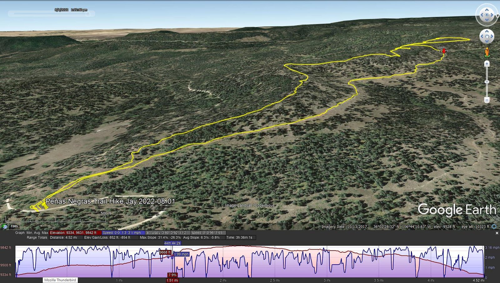
Peñas Negras Trail Hike.Jay.2022-08-01
Notes about the Google Earth screenshot: the graph at the bottom shows elevation of the track (pink area) and speed (the blue line).
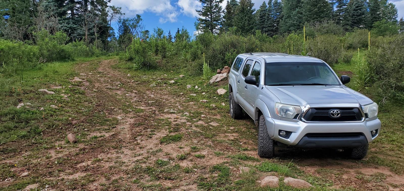 Leaving Pat, Nancy, and Bo for a day of relaxing at the campsite, Jay and I headed off for territory unknown (except for cues from GAIA and USTopo topographical maps). As we approached the area expecting to find a trailhead, a sign announced the Peñsa Negras trail leading to the Vacas Trail (3 miles as I recall). The sign was at the foot of a steep slope up onto the mesa, not an appealing beginning. We drove a quarter mile further and noticed an old two-track heading up the Rito Cafe valley. We parked and proceeded to check it out.
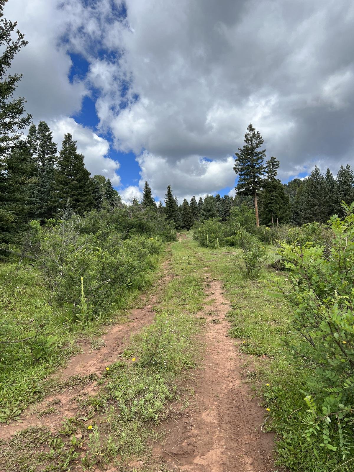 The going was easy – gentle slope on this old two-track. With the goal of getting up on the mesa and finding the trail depicted on the maps, we selected a place where the slope up and the elevation gain were the least. This -did- make for an easy ascent onto the nearly level mesa top, on the east edge of the mesa.
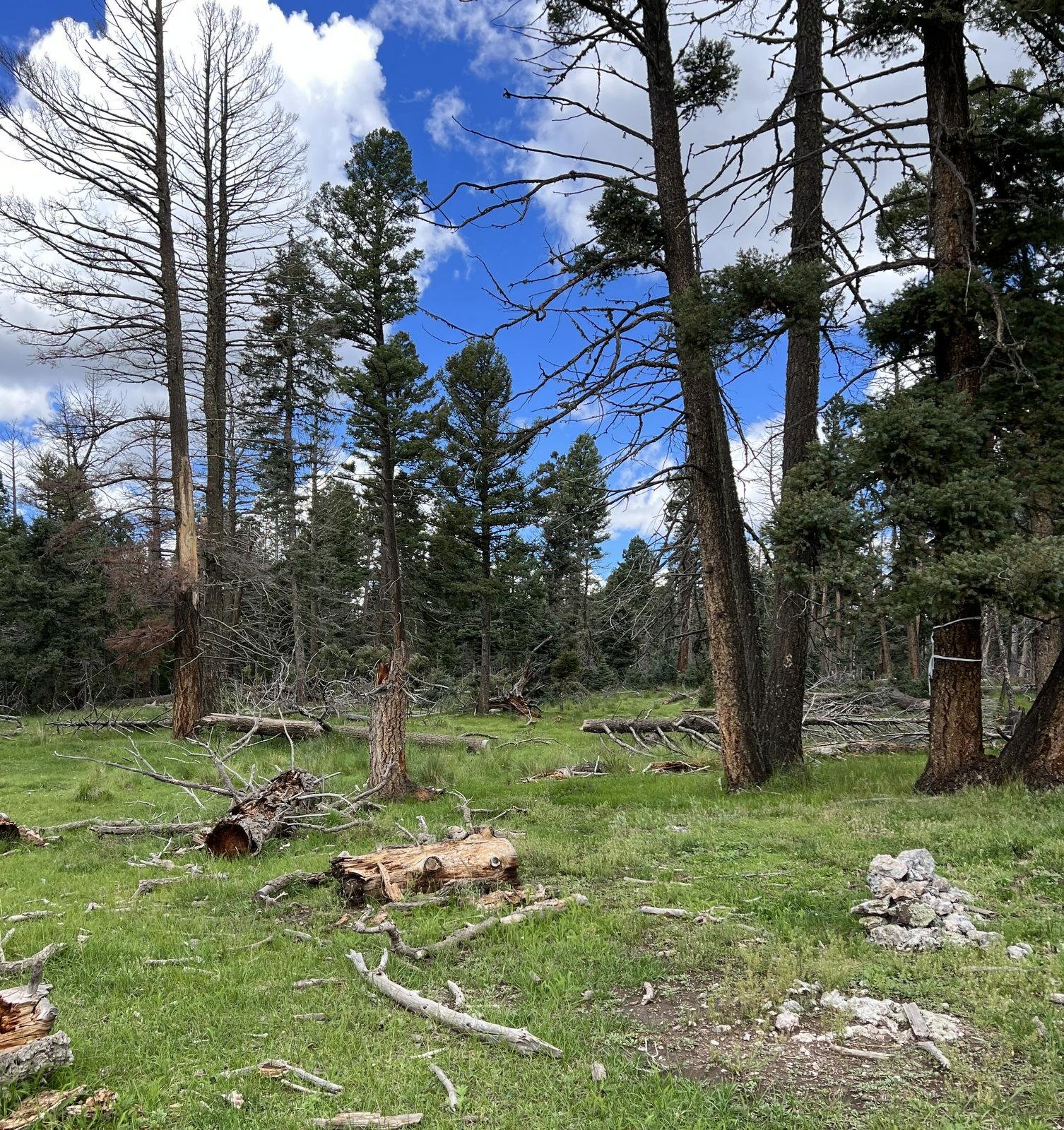
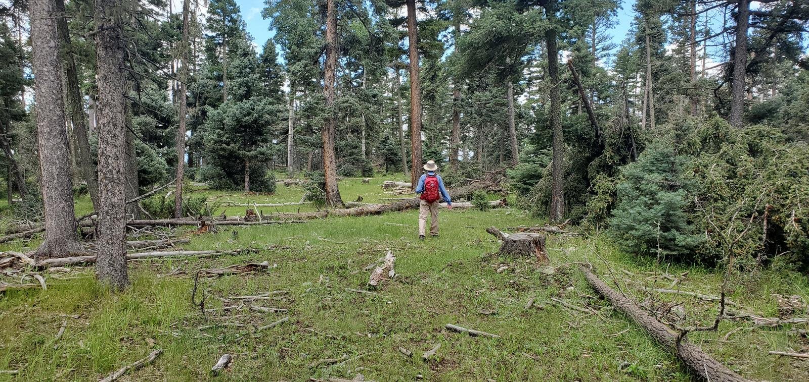 The trail was depicted to be on the west side, so we headed across. Not really bushwhacking, but there was no trail to follow; we walked through open forest and lots of green grass and flowers, among tall ponderosa trees. Approaching the west edge of the mesa, we hoped to find the trail depicted on the topo maps – it was not apparent. We wandered a bit further up the mesa along an opening in the forest (appeared to be an old two-track). This took us away from the western edge, until encountering a fence. We followed the fence back towards that edge, into a large opening in the forest.
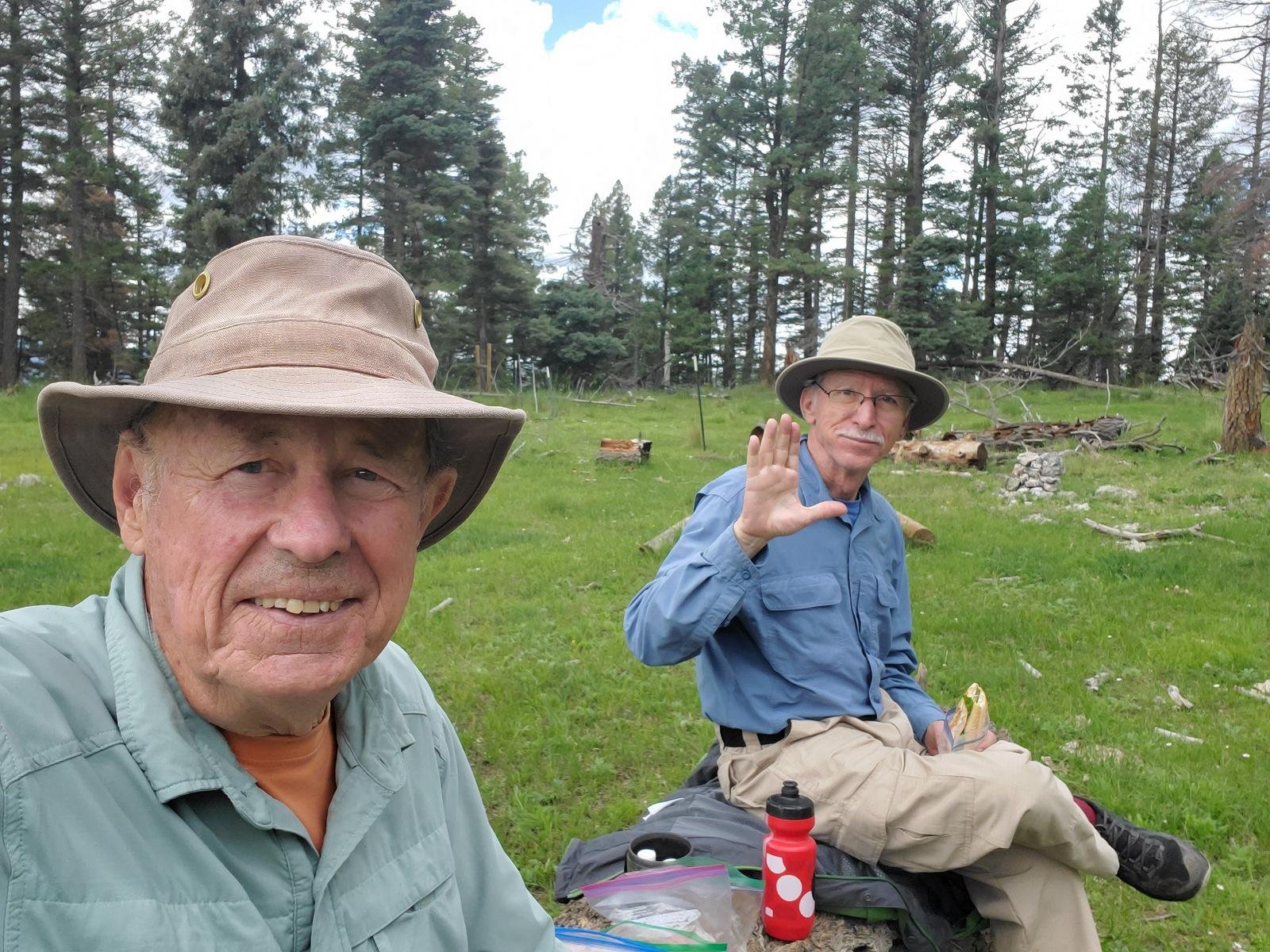
Figuring the trail was just not evident, and before heading back to the trailhead, we paused for our mid-hike break, on a log nicely in place for lunchtime seating.
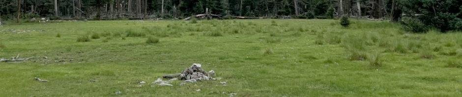
As we packed up, Jay noticed this nice pile of rocks – a cairn for the trail? Looking further along we saw another, then another – ah ha, the Trail? Crossing the meadow guided by the cairns we soon found the semblance of a path; the location matched reasonably closely the map’s trail. Soon we were back in the clearing we had been on earlier. (Click on a photo for an enlarged view, then <back> on your browser to return to this page.)
 First sighting of a cairn. | 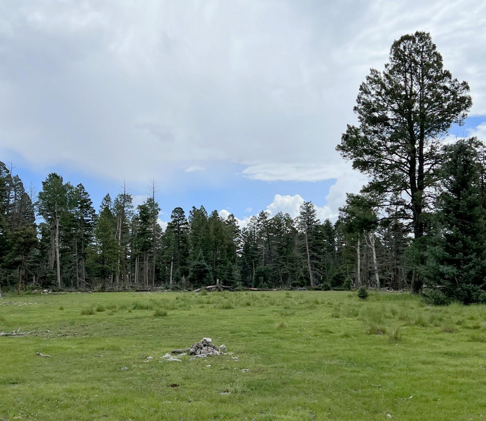 Another cairn, leading us across the meadow. | 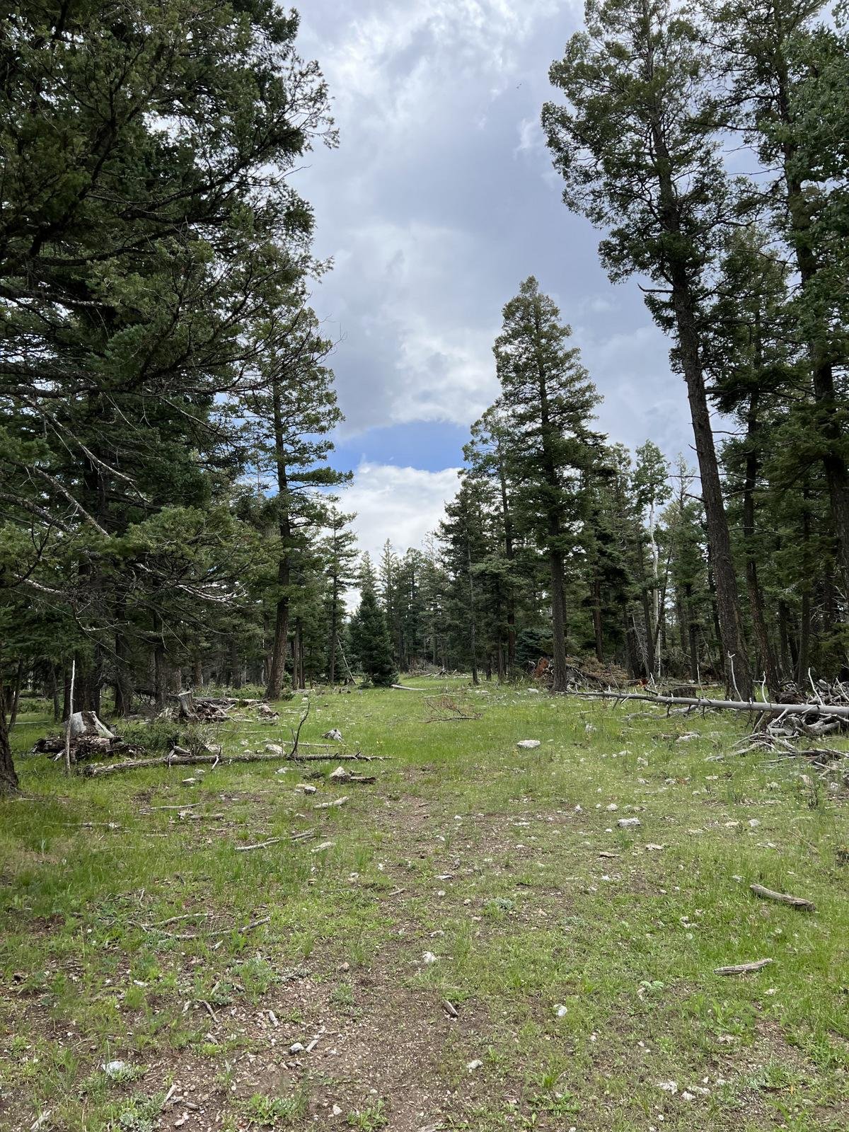 On the trail, the old two-track. |
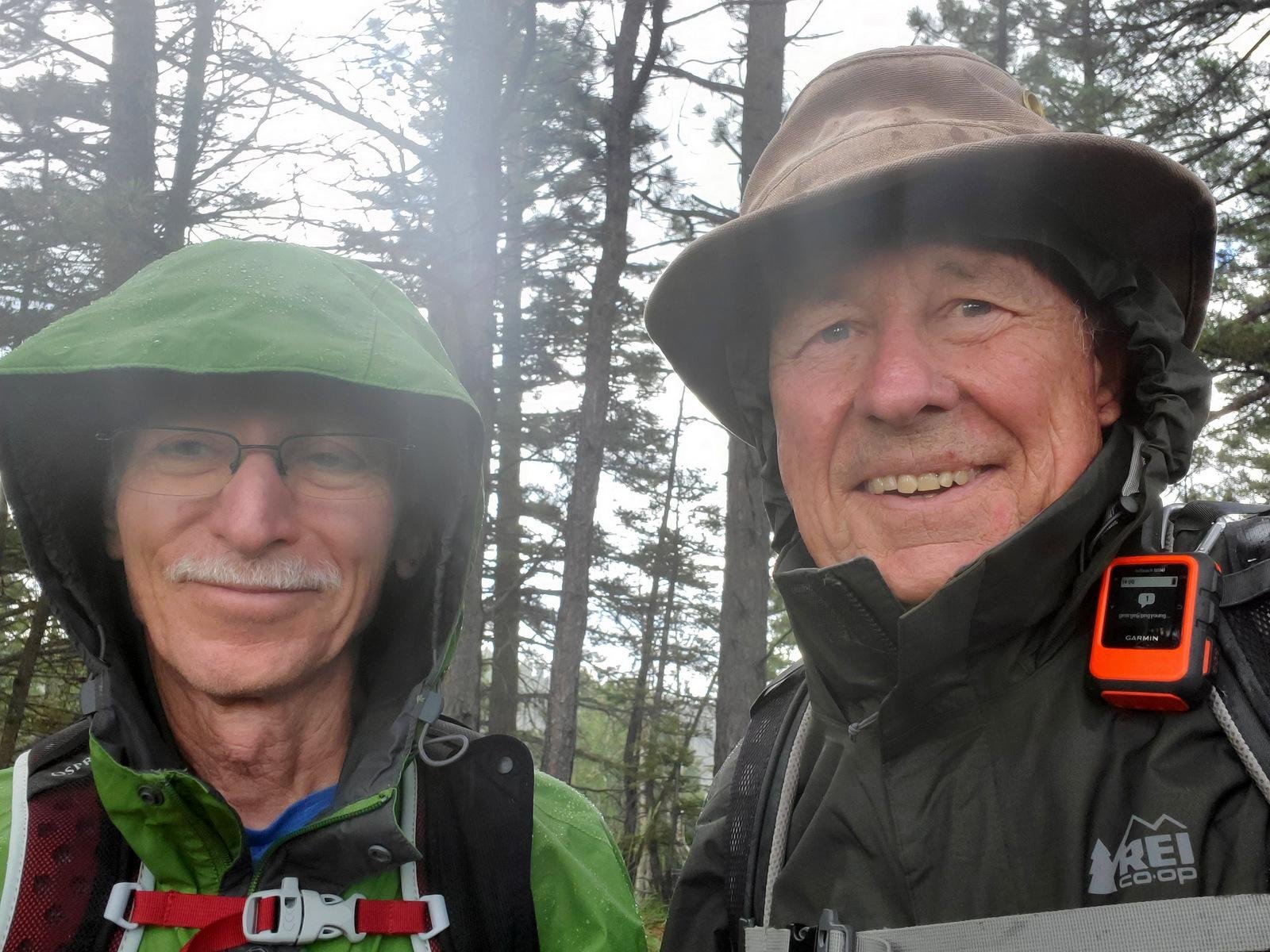 We continued towards the end of the mesa; the two-track dwindled until we were on a faint path that followed the map’s trail. Using the topo lines as a guide, we continued to the pointy end of the mesa where we found ourselves again on a faint path down a moderate slope to the base of the mesa .. and the trailhead. Perhaps a mile from the trailhead, Mother Nature visited us with some light rain, enough to get out our raincoats and to make mud around the truck when we got there.
Highlight
I enjoyed once again exploring a trail with Jay, with little information at hand, and being satisfied in the end that we met our objectives – to have a great hike in a beautiful place
Statistics
Total Distance: 4.51 miles
Elevation: start 9,334 ft, maximum 9,842 ft, minimum 9,334 ft
Gross gain: 508 ft. Aggregate ascending 852 ft, descending 854 ft
Maximum slope: 31% ascending, 26% descending, 5.0% average
Duration: 3:36
| GPS Track Files for Download | |
165 Downloads | |
|---|---|
163 Downloads | |
145 Downloads | |
139 Downloads | |
If you haven’t explored these hiking tracks with Google Earth, I urge you to try it. With the virtual 3-dimensional presentation, achieved by panning and tilting the view, you can get a much better idea of the hikes and terrain than you can get from the screenshot above. For some ideas, check out Using Google Earth Track Files.
Related Posts
Rio de las Vacas Walkabout
Hikes in San Pedro Parks
References and Resources
USDA Forest Service:
Penas Negras #32
Rio de las Vacas Campground
New Mexico Trails: Penas Negras Trail – Trail #32
ondafringe: Day HIke: Penas Negras/Perchas/Palomas Trails Loop


