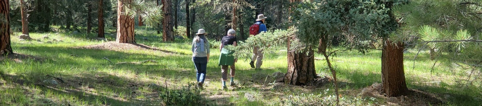
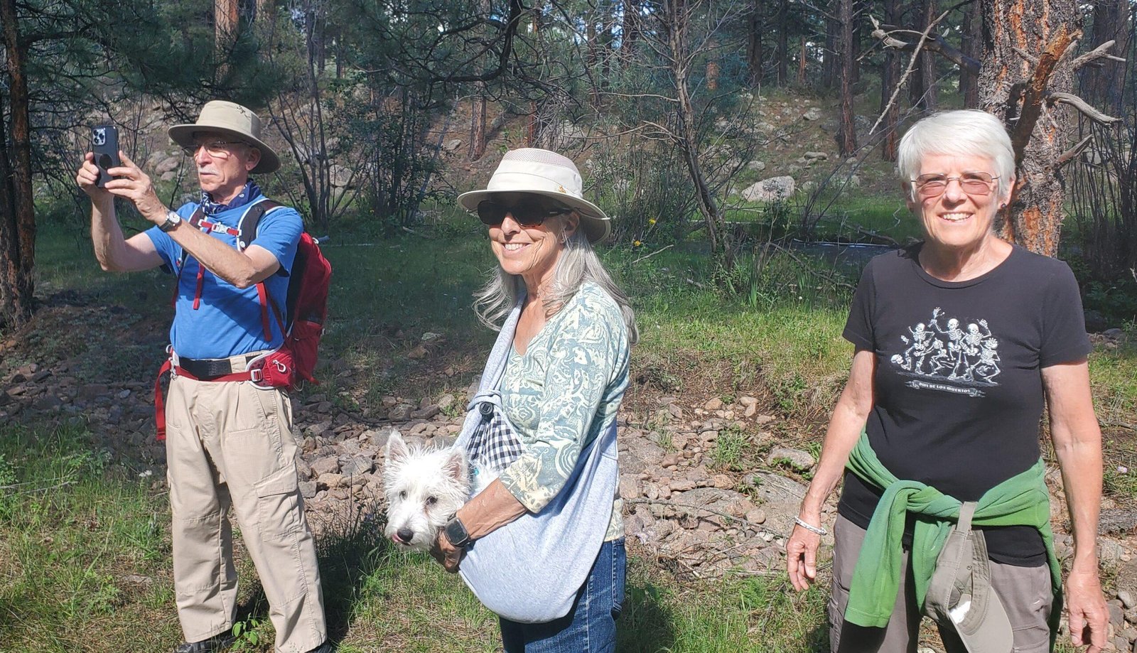
A short walk out of Rio de las Vacas campground, in the afternoon after setting up camp with Jay and Nancy. This was a warmup for hiking the following 2 days in the San Pedro Parks Wilderness. San Pedro Parks is at nearly 10,000 feet elevation – and cooler, a getaway from Albuquerque’s hot summer weather.
The Drive In
The drive to San Pedro Parks: from Bernalillo: US 550 to Cuba; in the middle of town turn right onto NM 126, continue for 10 miles. Continue past the turnoff to San Gregorio Lake (FR70) for 2 miles to the entrance to the Rio de las Vacas Campground. We chose Sites 11, a double site to accommodate our R-Pod camper and Jay and Nancy’s Vanaa.
The Hikes
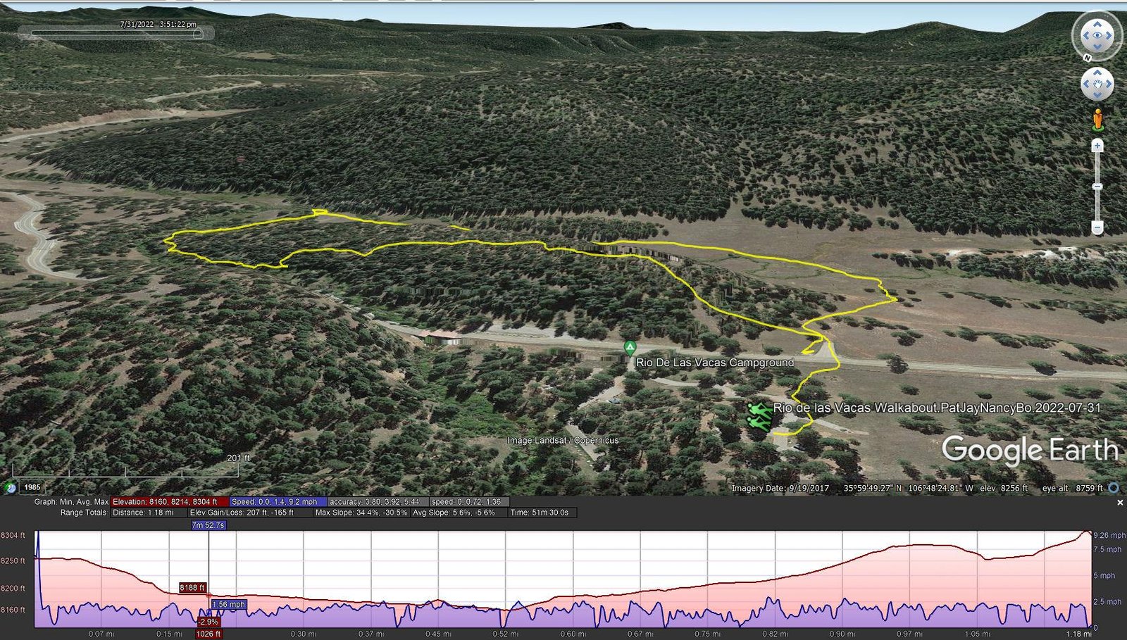
Rio de las Vacas Walkabout.PatJayNancyBo.2022-07-31
Notes about the Google Earth screenshot: the graph at the bottom shows elevation of the track (pink area) and speed (the blue line).
 Suggested by Ben, the camp host, we crossed NM 126 directly below our campsite (#11), passed through the fence at a gate, and continued downhill towards a pleasant open meadow and the Rio de las Vacas. Reaching the creek, we angled of to the left and followed it downstream, soon crossing to the southside. We continued until the streambanks narrowed blocking our route with dry feet. We crossed back over to the north side (using rocks and a log) and decided to head back to the campground through the woods. Although there was no trail, the ponderosa and fir forest was quite on open and easy to pass through.
Along the stream, it was grassland – easy walking. Through the forest, the floor was gravel and dirt – more easy walking with hardly any deadfall.
Statistics
Total Distance: 1.18 miles
Elevation: start 8,302 ft, maximum 8,304 ft, minimum 8,160 ft
Gross gain: 144 ft. Aggregate ascending 207 ft, descending 165 ft
Maximum slope: 34% ascending, 31% descending, 5.6% average
Duration: 0:52
| GPS Track Files for Download | |
171 Downloads | |
|---|---|
171 Downloads | |
If you haven’t explored these hiking tracks with Google Earth, I urge you to try it. With the virtual 3-dimensional presentation, achieved by panning and tilting the view, you can get a much better idea of the hikes and terrain than you can get from the screenshot above. For some ideas, check out Using Google Earth Track Files.
Related Posts
Peñas Negras Trail Hike. 08/01/2022
Hikes in San Pedro Parks
References and Resources
USDA Forest Service: Rio de las Vacas Campground