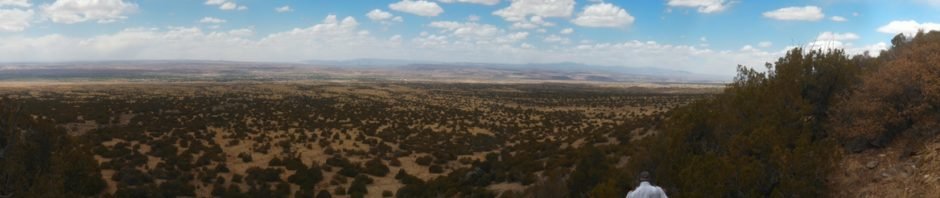
Posted in March 2019. One of our early hikes, checking out trails out of Placitas on the north end and from Juan Tabo Canyon on the south end.
The Hike


We had hiked from both ends of the trail: from the north on Piedra Lisa North and Del Agua, and from the south on Piedra Lisa. We enjoyed those hikes, but waiting for us to be ready was the hike end-to-end. And here it is, from Juan Tabo Canoyon across the Piedra Lisa ridge to the trailhead at the bottom of Del Agua Canyon..
Statistics
Total Distance: 6.50 miles
Elevation: start 6,930 ft, maximum 8,197 ft, minimum 5,949 ft
Gross gain: 1,447 ft. Aggregate ascending 2,077 ft, descending 3,058 ft
Maximum slope: 36% ascending, 39% descending, 12.1% average
Duration: 4:49
| GPS Track Files for Download | |
204 Downloads | |
|---|---|
341 Downloads | |
If you haven’t explored these hiking tracks with Google Earth, I urge you to try it. With the virtual 3-dimensional presentation, achieved by panning and tilting the view, you can get a much better idea of the hikes and terrain than you can get from the screenshot above. For some ideas, check out Using Google Earth Track Files.


