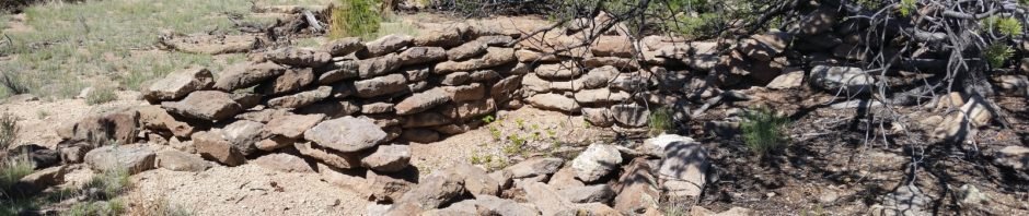
I was quite pleased to introduce Jay to one of my favorite hiking spots, Boletsakwa Ruins. It is one of the most accessible “remote” Pueblo ruins that I’ve found. Parking off of Forest Road 10, the ruins are found about a mile along an easy-to-follow path. (For about 200 yards, the path skirts a large rock formation, with a steep slope down into San Juan Canyon.)
The Hike
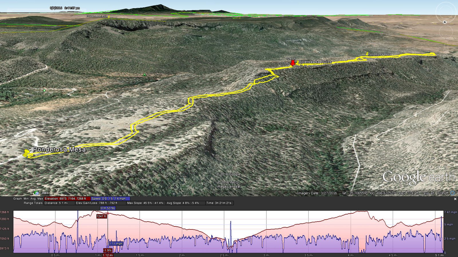
Track of the Ponderosa Mesa-Boletsakwa Ruins hike, 08/07/2016, on Google Earth image.
I’ve visited here twice before and have looked forward to continuing southbound on Ponderosa Mesa to the end of the mesa. Jay was willing, so we extended the hike out to 2.5 miles – the view down the Jemez River valley was stunning. (Later, looking at a topographic map, we realized we were not at the bitter end of the mesa – that would be another 3/4 of a mile.)
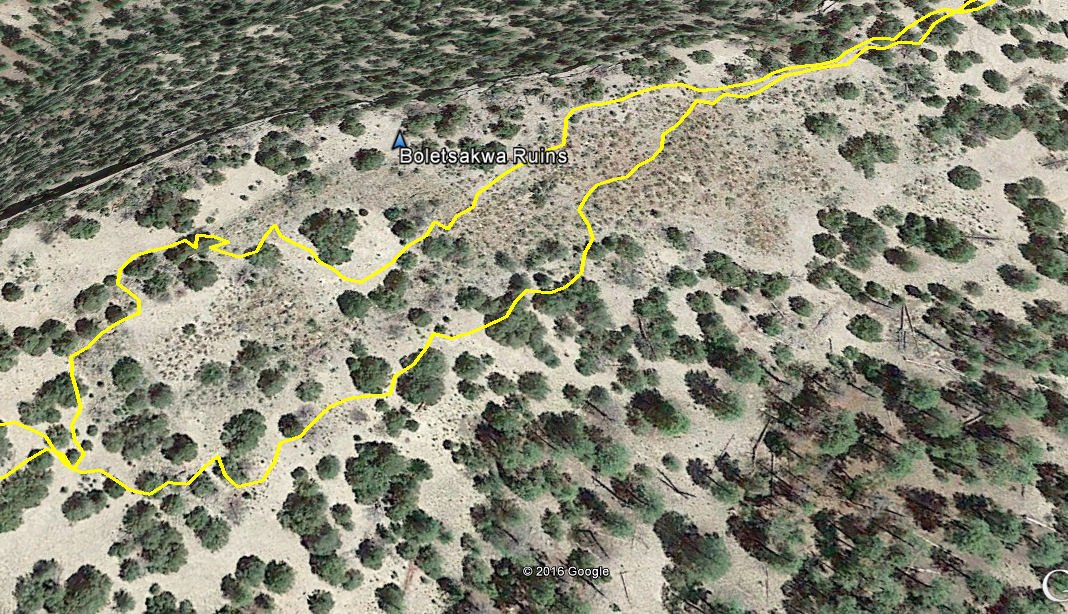
Google Earth view of the ruins.
Jay here: The end may not have been bitter (or the actual edge for that matter), but the trek across the mesa was a lot like traversing a hot frying pan…with rocks for homefries. Imagining the Boletsakwa ruins as they might have existed around the year 1500, with 650 rooms and who knows how many people living there, makes the experience more impressive. Walls with mud chinking have survived for us to see today — amazing. Not only did they move thousands of rocks to build their homes, they also had to go back down to the mesa base every day to haul water back up top. Best part about the hike besides the ruins? That’s easy — there was hardly any elevation to climb.
Statistics
Total Distance: 4.9 miles
Elevation: 7,216 start, 7,267 maximum, 6,945 minimum
Gross gain: 446 ft. Aggregate ascending 811 ft, descending: 811 ft
Maximum slope: 30% ascending, 53% descending, 25% average
Duration: 3:40
| GPS Track Files for Download | |
385 Downloads | |
|---|---|
434 Downloads | |
I urge you to explore our hiking tracks with Google Earth. With the virtual 3-dimensional presentation, achieved by panning and tilting the view, you can get a much better idea of the hikes and terrain than you can get from the 2-dimensional screenshot above. For assistance: Using Google Earth Track Files.
References
ASCHG: Goblin Rocks And Ponderosa Indian Ruins Hike
ASCHG: Ponderosa Mesa Hike
ASCHG: Ponderosa Mesa from Paliza Group CG Hike
OtherHand: Boletsakwa Ruins
Museum of New Mexico, Office of Archeological Studies:
Archeology of the Jemez Province
“Archeologies of the Pueblo Revolt ..”: Extract from


