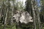
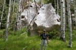
We returned again to the Jemez Mountains, to explore the canyons north of Fenton Lake.
The Drive In
This time we drove up FR 378, to the head of the set of canyons that branch off of Calaveras Canyon – Barley, Bear, Oat and Hay, this day to hike Pony Canyon and an unnamed canyon north of and parallel to Pony.
The Hike
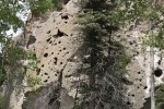
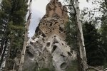
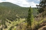
From parking, we surmounted a ridge to descend into the upper reaches of Pony Canyon. Some distance down the slope we found ourselves on a 2-track (which we later discovered we had passed on our way up FR 378 to parking). We followed the 2-track the length of Pony Canyon, generally open meadow-like in the canyon floor but, as with the other canyons, a rock wall on the right (north) side and steep slope on the south side of the canyon.
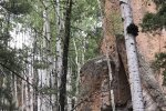
About 1.8 miles from where we started, we found the north side of the canyon permitted ascent to the ridge above – perfect to cross that ridge into the unnamed canyon to the north. Near the ridge-top we had our mid-hike break, then angled down into the unnamed canyon. This canyon’s floor wasn’t as open as the others, and at times we found ourselves skirting many down trees and occasionally clumps of underbrush.
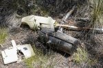
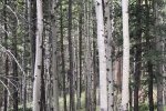
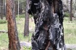
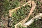
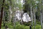
Jay here: This was a surprisingly pleasant hike for the fact that we were surrounded by large aspen groves most of the way. It didn’t take long for it to dawn on us that this would be a magnificent walk in the fall when all the apsens have turned gold. And once again, the detritus was both interesting and puzzling. The bones of a foreleg and hoof we surmised to be that of an elk perhaps. The electric broom style vacuum cleaner is another story. Who brings a vacuum on a hike only to dispose of it? Or was it tossed out of an airplane? We’ll never know but we can dream up some strange scenarios to explain it.
Statistics
Total Distance: 4.08 miles
Elevation: start ft, maximum 9,010 ft, minimum 8,587 ft
Gross gain: 423 ft. Aggregate ascending 1,055 ft, descending 1,060 ft
Maximum slope: 35% ascending, 37% descending, 9% average
Duration: 3:12
| GPS Track Files for Download | |
140 Downloads |
|
|---|---|
112 Downloads |
|
If you haven’t explored these hiking tracks with Google Earth, I urge you to try it. With the virtual 3-dimensional presentation, achieved by panning and tilting the view, you can get a much better idea of the hikes and terrain than you can get from the screenshot above. For some ideas, check out Using Google Earth Track Files.
References
ondafringe: Cebolla Canyon – Jemez Mountains – New Mexico, USA
Google Maps: Cebolla Canyon Hike
AroundGuides: Pony Canyon (great interactive map of area features)


