Introduction
‘Tis summer in Albuquerque, and .. we seek cooler conditions for our hikes. It can can expect such temperatures up on the Sandia Mountains, and .. it was in the low 60s when we got to the trailhead (at ~10,000 feet elevation).
The Drive In
From another post for a hike up on the Sandia Mountains: From downtown Albuquerque: east on I-40 to the Tijeras turnoff, then north on NM 14 through Cedar Crest to Antonito and the turnoff for NM 536, Sandia Crest Road (also known as the Sandia Scenic Highway). The Crest Road has many twists and turns, many at 20 mph to change direction by 180° or more. But that’s the way to get to 10,000 feet in 17 miles. There are numerous parking areas along the way – we chose to start our hike in the Ellis Lower Parking Lot. (Our Annual Pass had expired, so we found an envelope waiting for us. We paid the $5 “Amenity Fee” online.)
The Hike
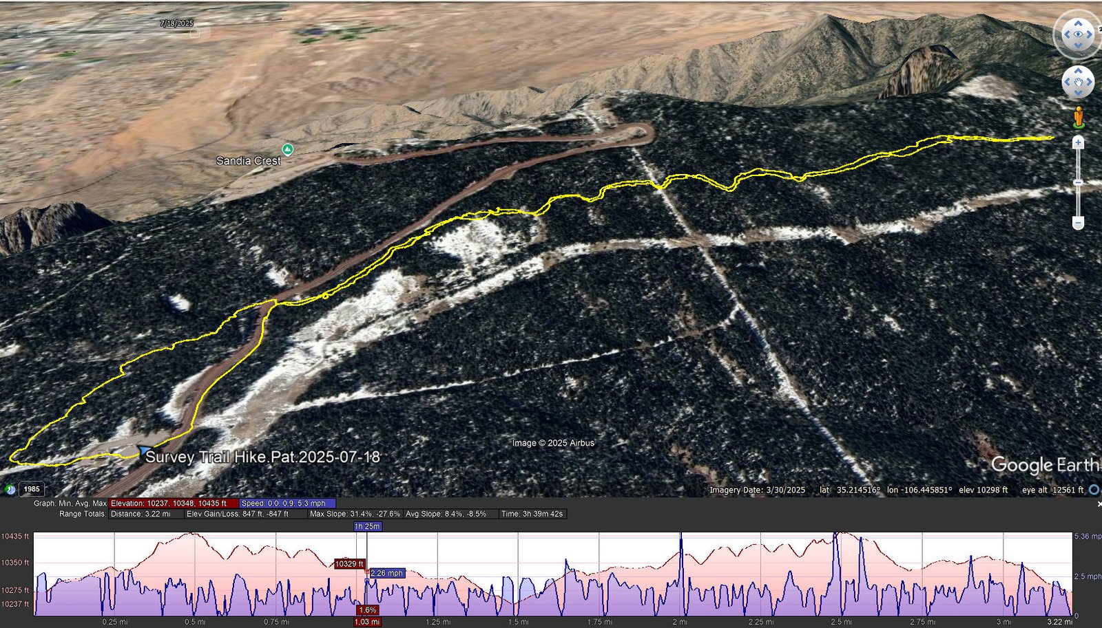
Survey Trail Hike.Pat.2025-07-18
Notes about the Google Earth screenshot: the graph at the bottom shows elevation of the track (pink area) and speed (the blue line).
Survey Trail is a short distance from “the edge” of the Sandia Mountains. In the screenshot above, one can see that “edge” and the Rincon Ridge, separated from North Sandia Peak, in the upper right of the screen shot. And beyond the edge? Sandia Heights in the upper left. And the screenshot from Google Earth shows snow – that would be from a photo taken in winter – no snow on this July day (when the temperature for the hike was in the 60s and in the 90s down in the city).
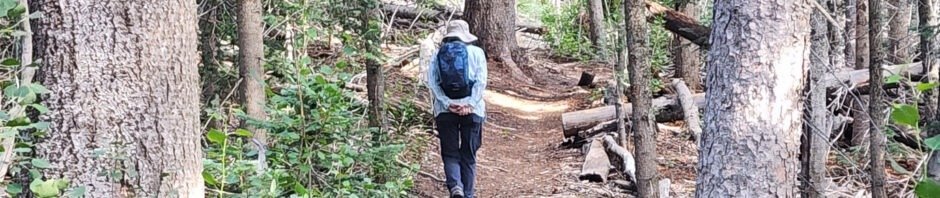
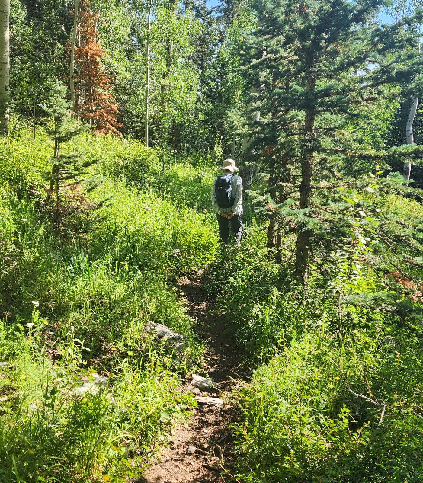
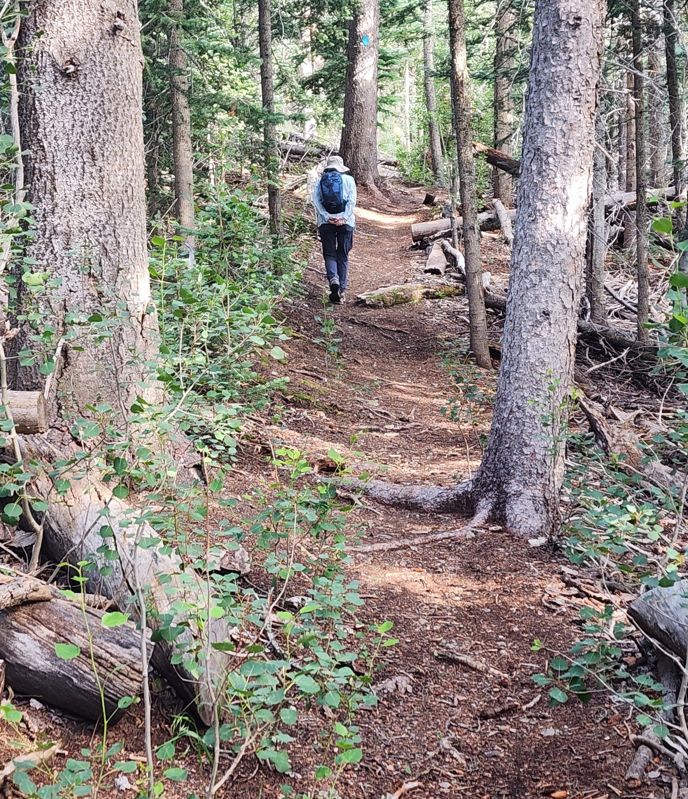
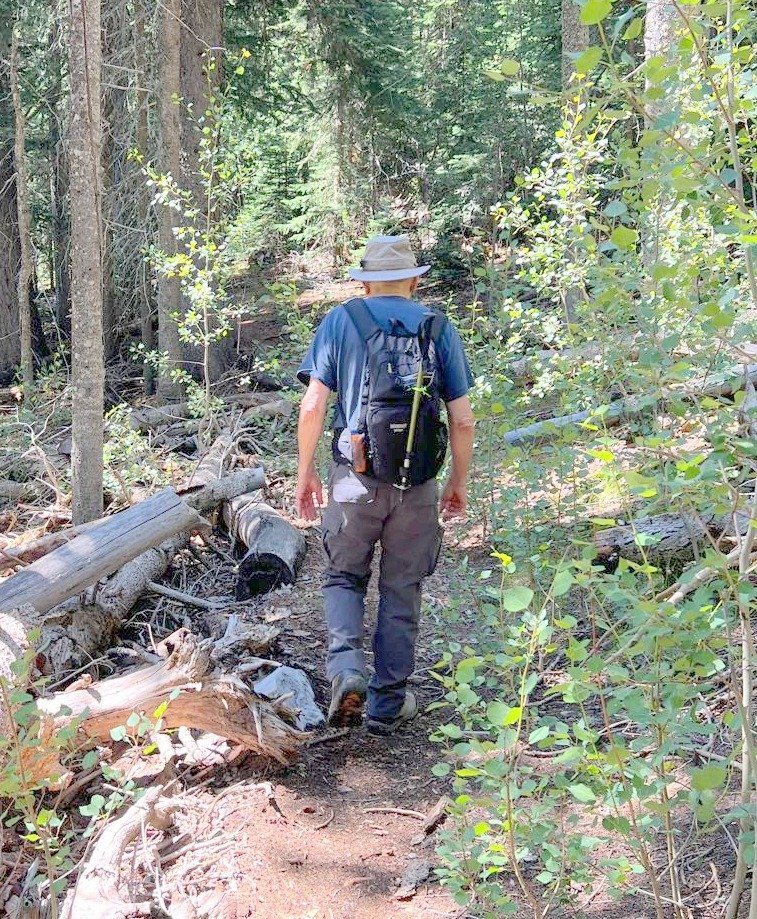
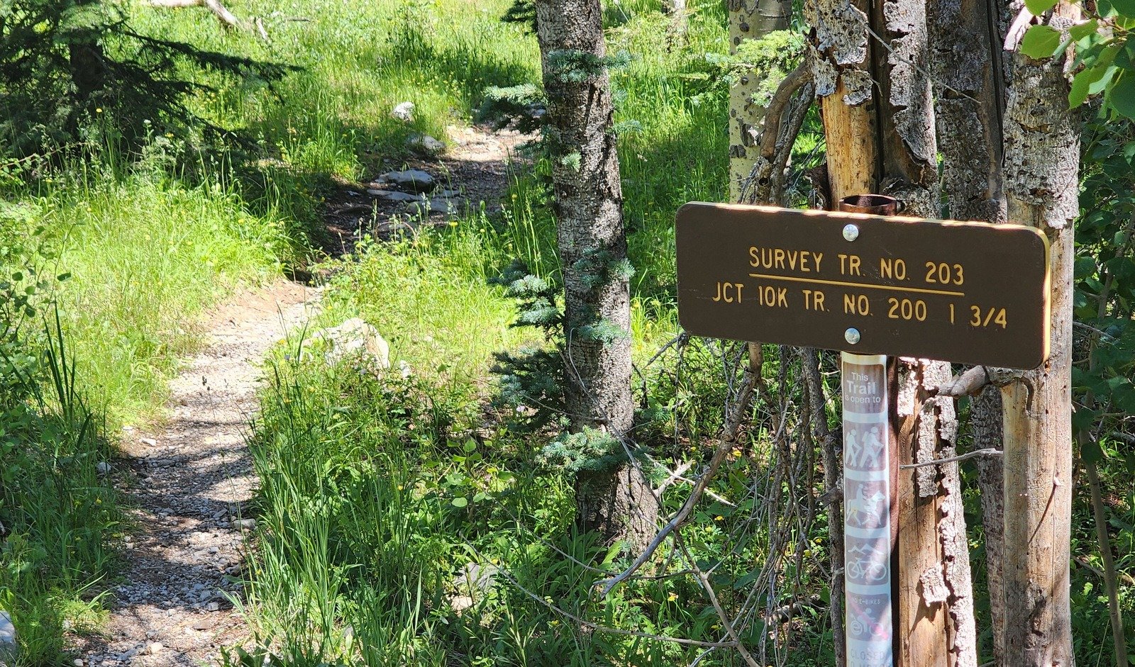 From the parking lot, we opted to walk the short distance up the Crest Road to the Survey Trail Trailhead. The trail was most inviting – a clean surface (for nearly all the way). In only a few places there were rock outcrops (including a couple that required -very brief- climbing). In many places there were green grasses and flowers alongside the trail; in other sections there was much downfall but always clear of the trail.
 |  |  |
Highlight
Cool air! And a nice trail – a gentle trail with the right amount of elevation gain as we train for future hiking after nearly a year being off-trail. Oh – and a favorite of mine – wild flowers (see below).
Statistics
Total Distance: 3.22 miles
Elevation: start 10,271 ft, maximum 10,436 ft, minimum 10,237 ft
Gross gain: 199 ft. Aggregate ascending 847 ft, descending 847 ft
Maximum slope: 31% ascending, 28% descending, 8.4% average
Duration: 3:40, Average Speed: 0.9 mph
| GPS Track Files for Download | |
116 Downloads | |
|---|---|
120 Downloads | |
| Link to GAIA GPS: “Survey Trail Hike” | |
| If you haven’t explored these hiking tracks with Google Earth, give it a try. With the virtual 3-dimensional presentation, achieved by panning and tilting the view, you can get good idea of the hike and the terrain. For some ideas, check out Using Google Earth Track Files. | |
Related Posts
References and Resources
AllTrails – Survey and Ellis Trail Loop
– 10k and Survey Loop
ASCHG – Crest Trail – Survey Trail Loop
– 10K – Osha Loop – Survey Hike
Dog of the Desert – North Crest Trail, North Sandia Peak, and Survey Trail
– The delightful mess of trails below Crest House ..
Photos


