This is a “catchup” post created in 2018, for a hike/expedition back in 2015, prior to starting the BLOG.
The “Hike”
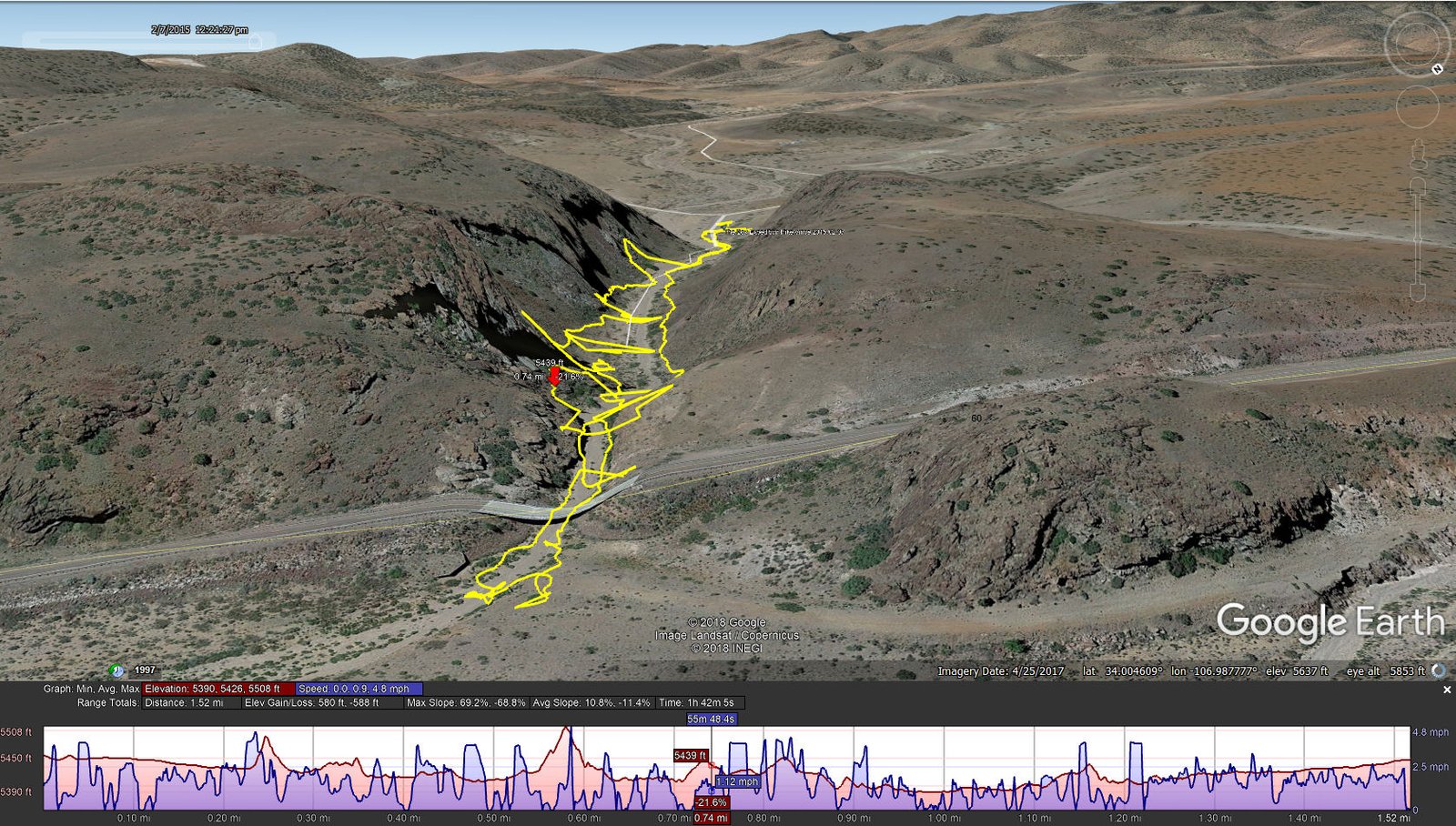
The Box Expedition Hike.Vince.2015-02-07
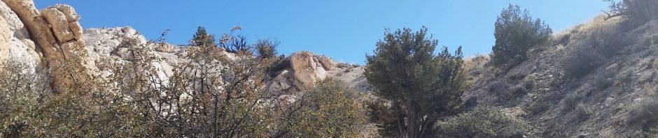
The Box is a short canyon with US 60 passing at its mouth. ‘Tis a favorite location for rock climbers, working the eastern wall of the canyon; we saw 10 or so people ‘on the wall’ the day we visited. The photos below give one an idea of the depth of the canyon – look closely and you will see Vince down in the canyon’s bottom.
The Driveabout
We also did a DriveAbout, circumnavigating the Chupadera Mountains. The route, on dirt/gravel roads of good condition (at least when dry), takes one around the western edge with views of the Magdalena Mountains to the west. Then we turned east through Nogal Canyon (again driving through the was at the bottom of the canyon) and back to I-25 at San Antonio (where we went for hamburgers at the “famous” Owl Cafe).
Statistics
Total Distance: 1.52 miles
Elevation: start 5,457 ft, maximum 5,508 ft, minimum 5,390 ft
Gross gain: 118 ft. Aggregate ascending 615 ft, descending 622 ft
Maximum slope: 65% ascending, 64% descending, 11.3% average
Duration: 1:42
| GPS Track Files for Download | |
239 Downloads | |
|---|---|
187 Downloads | |
225 Downloads | |
198 Downloads | |
(Note: In those days, I used an old GPS device which recorded numerous erroneous positions. As a result, the track is jagged, showing that we went up on the canyon wall; I assure you we did not, but you can get the gist of our track.)
I urge you to explore our hiking tracks with Google Earth. With the virtual 3-dimensional presentation, achieved by panning and tilting the view, you can get a much better idea of the hikes and terrain than you can get from the 2-dimensional screenshot above. For assistance: Using Google Earth Track Files.


no images were found