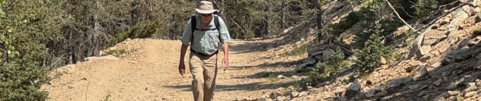
From our previous hike, still apropos: “Seeking cooler temperatures, we headed for higher elevation – the Sangre de Christo mountains and the Aspen Vista trail. We began at nearly 10,000 feet; ’tis a steady climb up 3.4 miles to 11,300 feet. Air temperature was much cooler than in Albuquerque or even Santa Fe (well above 90 there); more like upper 70s on top (‘tho we descended into warmer temperatures, finishing the hike mid-afternoon).”
The Drive In
“Quite straightforward: drive up SR 475, also known as Hyde Park Road. Little Tesuque Creek crosses SR 475 5.6 miles from the Hyde Memorial Park Lodge. There is parking on the right of the road for a few cars.”
The Hike
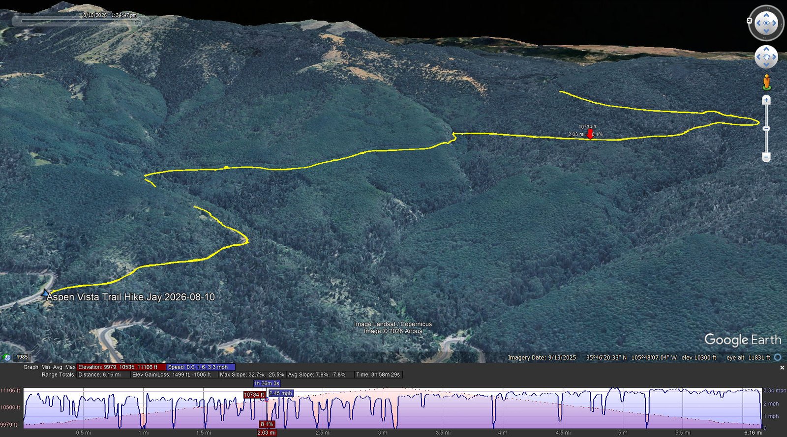
Aspen Vista Trail Hike.Jay.2026-08-10
Notes about the Google Earth screenshot: the graph at the bottom shows elevation of the track (pink area) and speed (the blue line). Click on the image for a full-screen view.
Again, from the hike in 2018: 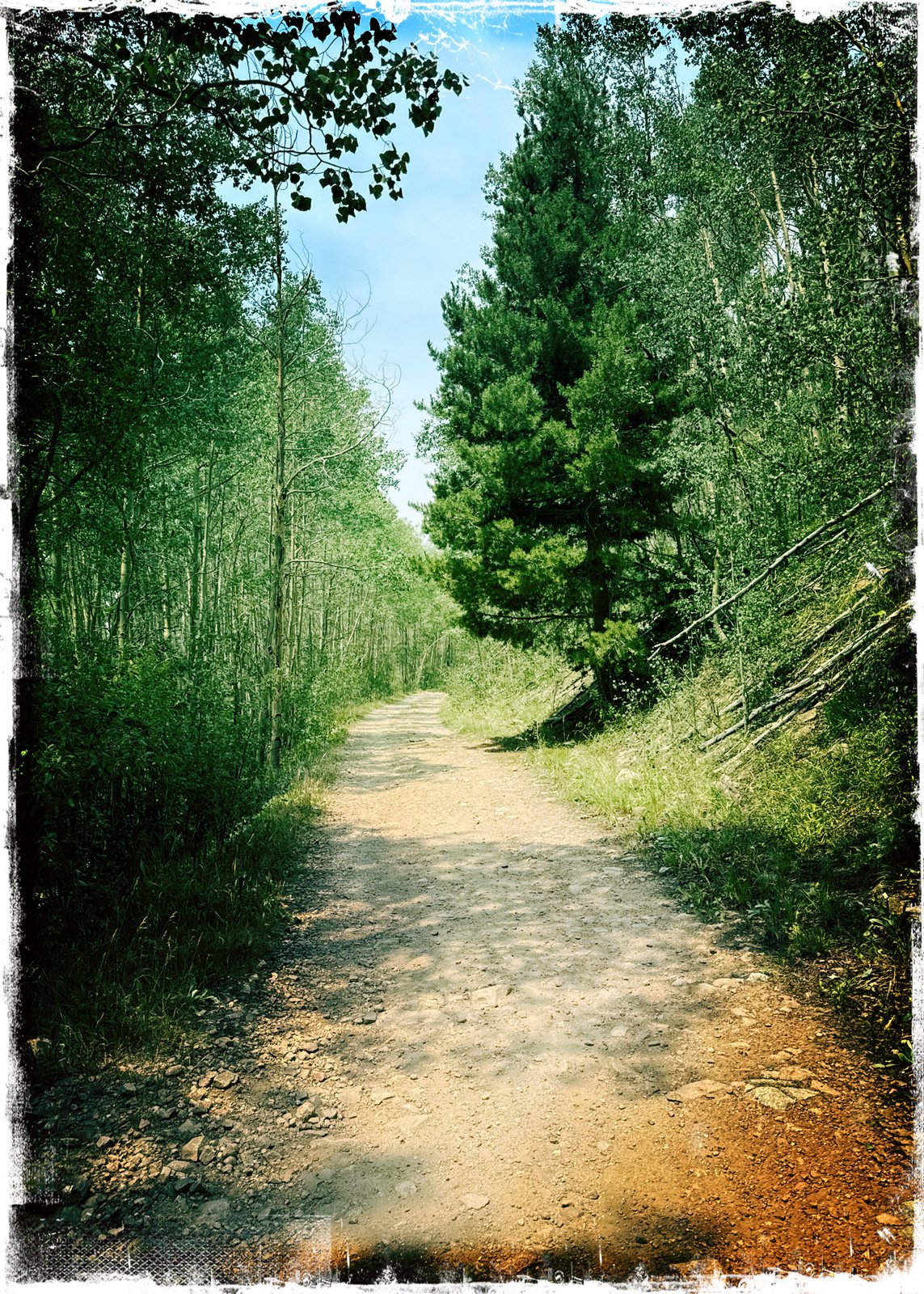 “This trail is a well used two track; … we encountered maybe 40 day hikers and a few mountain bikers. We could see why this trail is dubbed“Aspen Vista”; there are very large groves of
 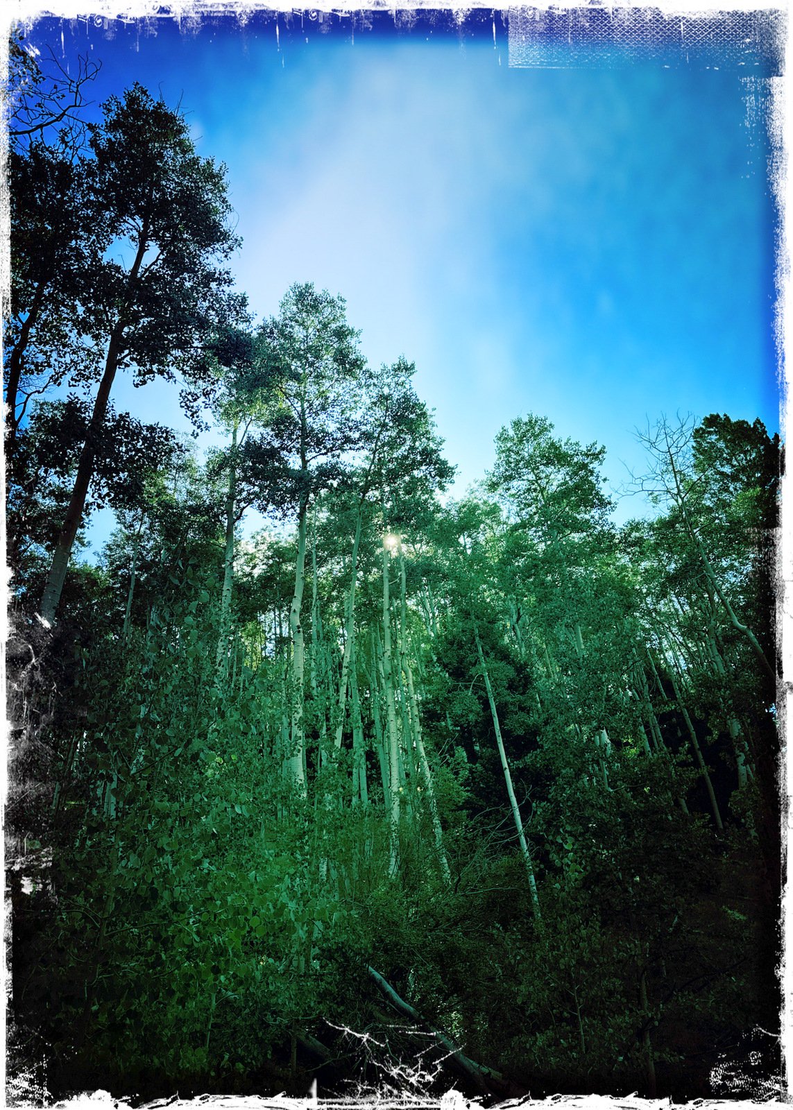 very tall aspen for about two miles from the trailhead. Then nearing 11,000 feet elevation, the forest becomes primarily douglas fir and spruce. Because of the forest, there are few opportunities for vista views, although on this day smoke and humidity hindered getting a clear picture across Santa Fe, the Rio Grande valley, and to the Jemez mountains.”
On this hike, the air was clear at the beginning of our hike, but smoke from the fire north of Santa Fe filled the valley and drifted up our way. And the air was cool at the start and remained so until halfway back to the parking area – lower elevation and this year’s atypically high temperatures even for August.
Jay here: The sacrifices we make to reach cooler temperatures – start at 10,000 feet would be our first suggestion. Though we were short of our last mileage for this hike, it was still a good climb. Smoke not too bad most of the way and a few raindrops to keep us on our toes. Traffic very light…quite a contrast to the mob that comes up to see Aspens in the Fall.
Statistics (not quite what we did 8 years ago)
Total Distance: 6.16 miles
Elevation: start 9,889 ft, maximum 11,106 ft, minimum 9,979 ft
Gross gain: 1,217 ft. Aggregate ascending 1,499 ft, descending 1,505 ft
Maximum slope: 33% ascending, 26% descending, 7.8% average
Duration: 3:58, Average Speed: 1.6 mph, Shade: 60%
| GPS Track Files for Download | |
62 Downloads | |
57 Downloads | |
48 Downloads | |
| If you haven’t explored these hiking tracks with Google Earth, give it a try. With the virtual 3-dimensional presentation, achieved by panning and tilting the view, you can get good idea of the hike and the terrain. For some ideas, check out Using Google Earth Track Files. | |
Related Posts
Tesuque Creek and Aspen Vista Loop – 08/18/2021
Aspen Vista Hike – 07/22/2018
References and Resources
AllTrails: Tesuque and Aspen Vista Loop
ASCHG: Aspen Vista Hike
just…b: Aspen Vista Trail – Fall Colors Above Santa Fe, NM
‘the title speaks for itself – we plan to return in September’
An Inspired Cook: Aspen Vista Trail
Views to date: 76 views.