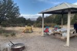
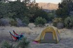
This hike took place during a 2-night camping trip with the primary purpose – to visit the Three Rivers Petroglyph Site. After our morning tour of the Petroglyphs and lunch in the Three Rivers Campground, we set out on the Three Rivers Trail.
The Drive In
Not much to say here; the trailhead is at the east end of the Three Rivers Campground. For the drive from Albuquerque, see my post Three Rivers Petroglyph Trail Walkabout – 04/24/2021.
The Hike
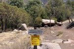
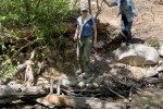
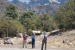
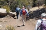
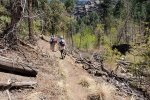
 The trailhead is at the east end of the Three Rivers Campground. It starts out with a smooth dirt surface, in somewhat open space – typical juniper/piñon forest, with a few ponderosa. A few yards on the trail crosses to the north side of the streambed (no water here) and to the junction of the Three Rivers and Goat Canyon trails. Slope for the first mile or so, to the junction with the Dry Canyon Trail, the canyon is wide and open. Then the canyon narrows and there abouts we encountered water in the stream.
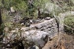
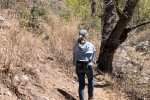
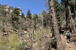
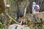
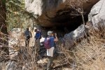
 As the canyon narrowed and the trail made an “S” turn to the right, the sides of the canyon became more vertical, becoming cliffs towering above the streambed some 800 feet – awesome sights. We encountered a couple more stream crossings, easy because not a lot of water was flowing. We continued up the narrow canyon to find a “cave” and waterfall that are noted on the topo maps. Though the view of the waterfall was obscured by trees, we could see that on another day when there was a greater flow in the stream, it would be impressive.
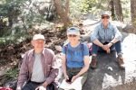
After our mid-hike for lunch, we returned down the canyon, having enjoyed a truly great day in the mountains of New Mexico.
Postscript

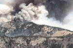
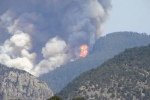
We departed the Campground mid-day Sunday. Checking news Monday, we learned that the Three Rivers Fire had started 1/2 mile from the Campground Monday morning. By Tuesday the Forest Service reported it had grown to 12,000 acres and containment was only 5%. By Wednesday, after some rain and snow in the area, control was being established. But … it -must- have burned through and around the Three Rivers Canyon, -the- area through which we enjoyed such great hike on a wonderful trail. Most Unfortunate!! It will be years (decades?) before people will have such a beautiful place to hike as we enjoyed.
Statistics
Total Distance: 4.90 miles
Elevation: start 6,423 ft, maximum 7,516 ft, minimum 6,423 ft
Gross gain: 1,093 ft. Aggregate ascending 1,398 ft, descending 1,397ft
Maximum slope: 34% ascending, 37% descending, 9.0% average
Duration: 3:51
| GPS Track Files for Download | |
112 Downloads |
|
|---|---|
115 Downloads |
|
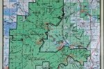
If you haven’t explored these hiking tracks with Google Earth, I urge you to try it. With the virtual 3-dimensional presentation, achieved by panning and tilting the view, you can get a much better idea of the hikes and terrain than you can get from the screenshot above. For some ideas, check out Using Google Earth Track Files.
Related Posts
Three Rivers Petroglyph Trail Walkabout – 04/24/2021
References and Resources
USDA Forest Service: Three Rivers Trail (T44)
AllTrails: Three Rivers Trail
Ruidoso.net: Three Rivers Trailhead
Hiking Project: Three Rivers Trail (#44)
Hike Arizona: Three Rivers Trail #44, NM


