This is a great time of year to visit the Valles Caldera. A memorable hike from the past was to Sulphur Creek and the Springs there. And it is a gentle hike further on the road.
The Drive In
Travel from Bernalillo on US 550, then north on NM 4 to La Cueva. Three quarters of a mile from the La Cueva General Store, turn left (north) onto FR 105. Passing through a residential area continue onward to the gate, the boundary of the Valles Caldera Preserve (about 2 miles). The road is a bit rough beyond about the half-way point, but I think it is suitable for medium-clearance vehicles.
The Hike
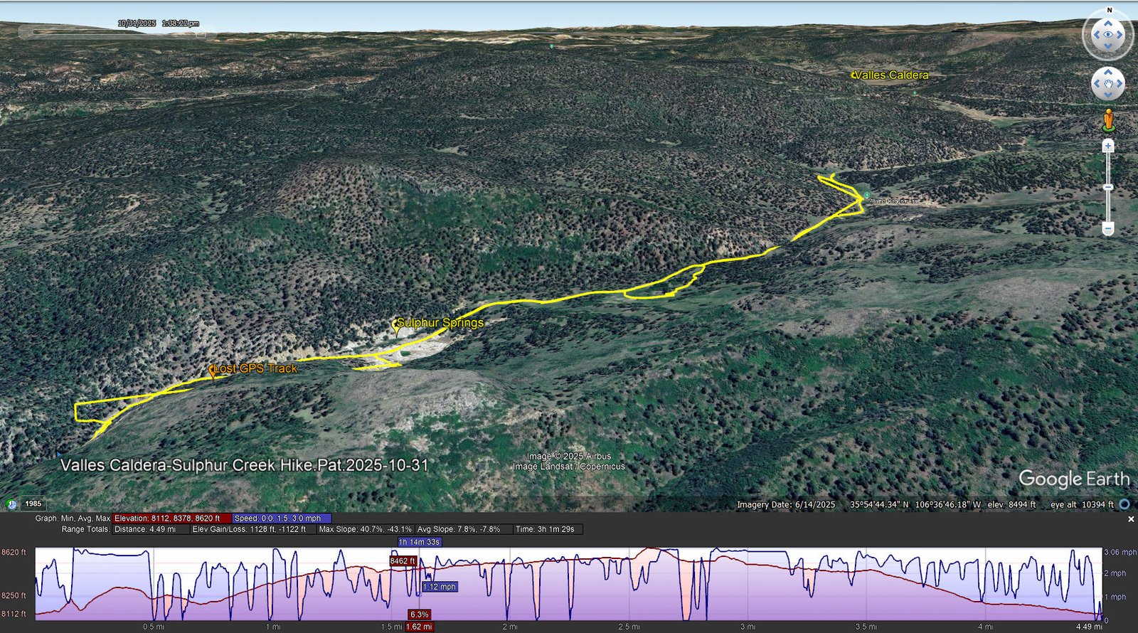
Valles Caldera-Sulphur Creek Hike.Pat.2025-10-31. Notes about the Google Earth screenshot: the graph at the bottom shows elevation of the track (pink area) and speed (the blue line). Click on the image for a full-screen view.
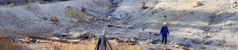
I can’t add much to my description for the hike back in 2020; the Sulphur Springs are about the same. As before, there were a few orifices with bubbling, steaming water. And we noticed this year bubbles out in the middle of the small pond.
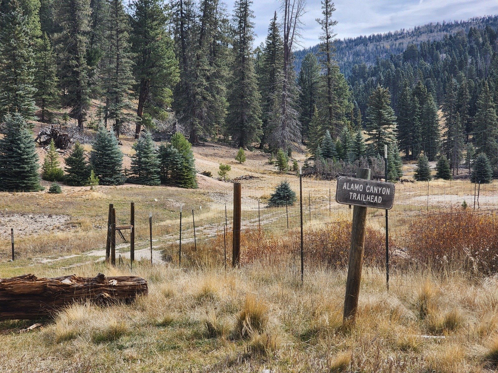
And the hike continuing up the road was the same, ‘tho we did not turn right onto Alamo Canyon Trail but continued straight for a half mile before turning back.
Highlight
Autumn in New Mexico is filled with colors – the grasses, some flowering plants with their seed heads still intact, and .. the ponderosa and other trees against the blue skies. 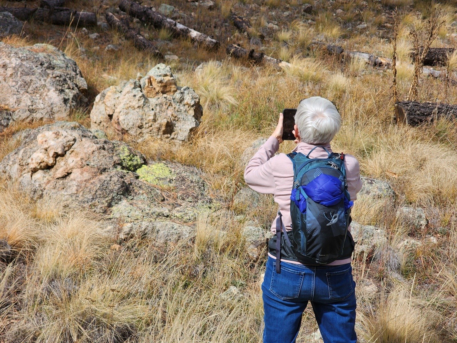
Statistics
Total Distance: 4.49 miles
Elevation: start 8,115 ft, maximum 8,620 ft, minimum 8,112 ft
Gross gain: 508 ft. Aggregate ascending 1,128 ft, descending 1,122 ft
Maximum slope: 41% ascending, 43% descending, 7.8% average
Duration: 3:01, Average Speed: 1.5 mph, Shade: 0%
| GPS Track Files for Download | |
79 Downloads | |
|---|---|
78 Downloads | |
| Link to GAIA GPS: “Valles Caldera-Sulphur Creek Hike” | |
| If you haven’t explored these hiking tracks with Google Earth, give it a try. With the virtual 3-dimensional presentation, achieved by panning and tilting the view, you can get good idea of the hike and the terrain. For some ideas, check out Using Google Earth Track Files. | |
Related Posts
Sulphur Creek-Alamo Canyon Hike – 10/13/202o
References and Resources
I’ll refer you to the earlier post: Sulphur Creek-Alamo Canyon Hike – 10/13/2020
Photos


Views to date: 24 views.