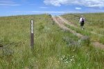
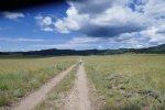
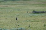
 We’ve been looking forward to visiting the northern part of Valles Caldera; we visited it a few days before – Valles Caldera Driveabout – which piqued our interest. Because I was dealing with a sore foot, we chose an easy hike in the northwest corner of the Caldera, following VC-09 in Valle San Antonio.
 The Drive In
The drive in to Valle San Antonio is described in my earlier post, Valles Caldera Driveabout. For this hike, we turned left (west) on VC08, parked where VC09/the pipeline intersects 08.
The Hike
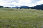
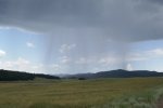
Then we headed west on a very easy two-track, up and over a couple of small hills. As we proceeded, we watched cumulus clouds congeal into rain showers, with just a bit of lightning, some 3-5 miles to the west. When another cell began to form to the south, we decided to turn back, avoiding getting caught in a rain shower (and away from the lightning). We did take the opportunity as we turned back to climb a small hill which afforded a great view of the valley.
Statistics
Total Distance: 2.7 miles
Elevation: start 8,506ft, maximum 8,518 ft, minimum 8,402 ft
Gross gain: 116 ft. Aggregate ascending 357 ft, descending 357 ft
“Maximum slope: 24% ascending, 25% descending, 4.8% average
Duration: 1:47
| GPS Track Files for Download | |
135 Downloads |
|
|---|---|
121 Downloads |
|
I urge you to explore our hiking tracks with Google Earth. With the virtual 3-dimensional presentation, achieved by panning and tilting the view, you can get a much better idea of the hikes and terrain than you can get from the 2-dimensional screenshot above. For assistance: Using Google Earth Track Files.
References and Resources
National Park Services: Valles Caldera
Yvonne Delamater BLOG:
San Antonio Canyon near Valles Caldera National Preserve Boundary
NM Bureau of Geology & Mineral Resources: Geologic Map of the Valle San Antonio … (PDF)
And check other posts for Valles Caldera


