I have looked forward to going with Pat into the Ojito Wilderness. For our first visit I chose to return to the Mesita de Ricardo hike on which Jay and I came across a collection of petrified wood.
The Hike

Mesita de Ricardo – 02/17/2017. Return with Pat to explore a ‘woodpile’ of petrified wood Jay & I discovered on a previous hike. Discovered other things of interest.
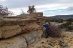
The day was cool, with a bit of a breeze and high clouds, making it a bit chilly but not uncomfortable. The first half mile, along a downed fence line, is across level ground, with large clumps of thick grass and some shrubs, with cattle trails wandering about among them. The rocky rise ahead beckoned us toward the location where Jay and I discovered the petrified wood.
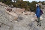
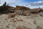
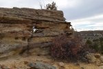
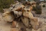
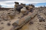
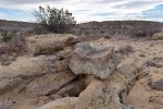
Climbing the rise, I first saw chunks of rock that looked like they might be pieces of petrified wood. Climbing further up the slope, it became clear by the shapes and the sections of cylindrical rock that these -must- be tree trunks.
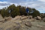
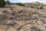
Topping the the rise, there were still more, thus .. the Woodpile. We browsed about this area, maybe 100′ by 400′ in extent, marveling at these remnants of an ancient forest.
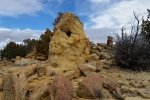
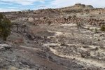
Wandering further east on the mesa, we found ourselves looking across a wide valley with tortuous landscape – waiting for exploration on another visit. Remaining on the mesa top, we discovered the remains of a rock structure, maybe 15′ square, with many pieces of rusted metal scattered in the vicinity, suggesting that this was occupied sometime in ‘modern’ times. And looking down on the north side of the mesa, we discovered a fenced in area, maybe an entrance to mining activity, and a circular concrete tank .. can’t imagine it’s purpose.
The hike back to the truck was easy, where we found 20 or so cows with their calves had gathered. They cleared the way for our return to Pipeline Road, on to Cabezon Road where we stopped for our coffee break before heading back to Albuquerque.
Statistics
Total Distance: 1.99 miles
Elevation: 5,823 start, 5,893 maximum, 5,814 minimum
Gross gain: 170 ft. Aggregate 231 ft ascending ft, 229 ft descending: ft
Maximum slope: 21% ascending, 23% descending, 4% average
Duration: 1:51
| GPS Track Files for Download | |
147 Downloads |
|
|---|---|
97 Downloads |
|
I urge you to explore our hiking tracks with Google Earth. With the virtual 3-dimensional presentation, achieved by panning and tilting the view, you can get a much better idea of the hikes and terrain than you can get from the 2-dimensional screenshot above. For assistance: Using Google Earth Track Files.
Related Posts (in the vicinity)
References
BLM: Ojito Wilderness
American Southwest: Ojito Wilderness Area
Explore Aztec: Ojito Wilderness0
Travels with the Blonde Coyote: Into the Ojito Wilderness


