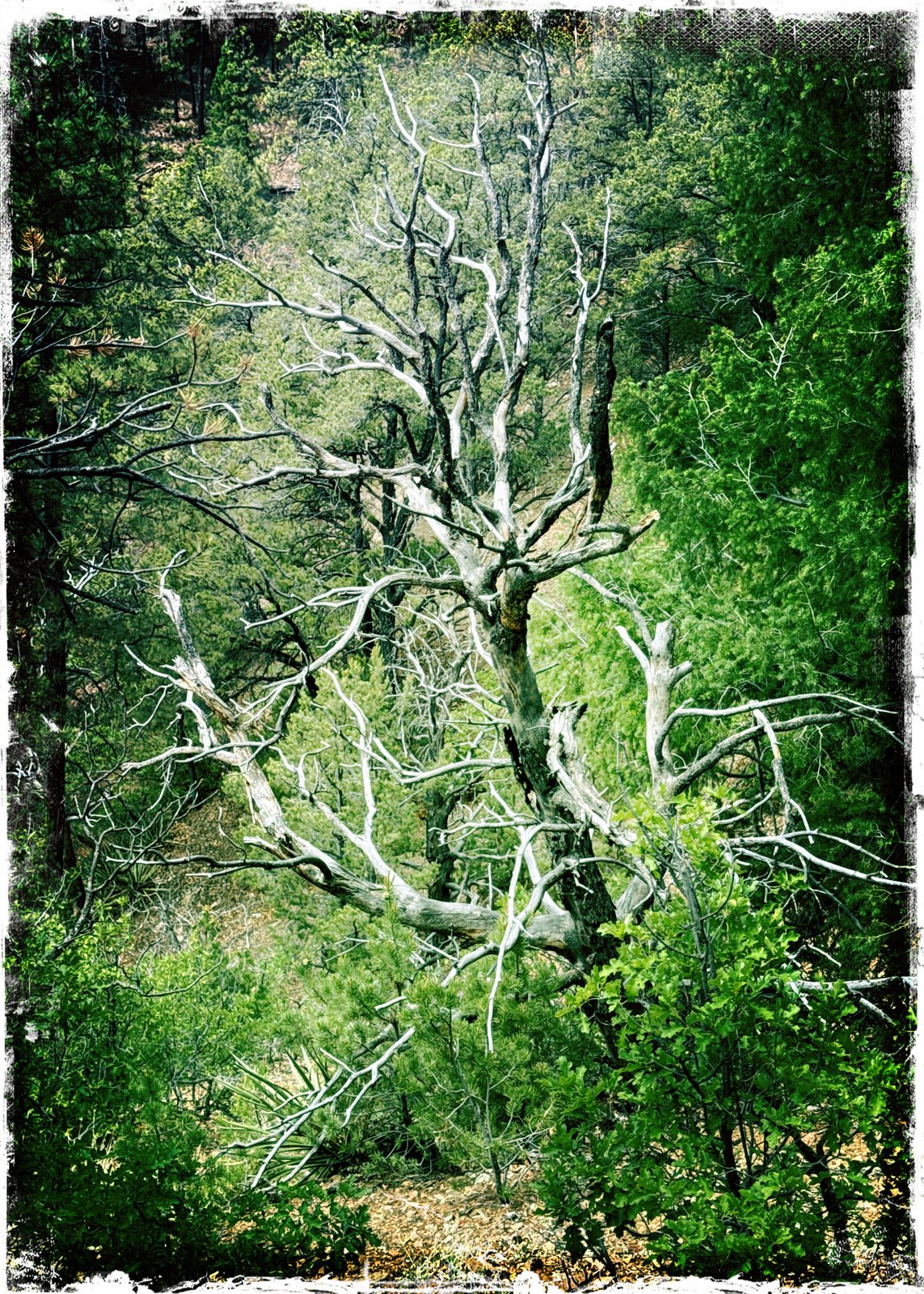
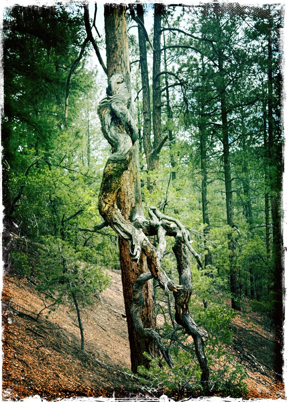
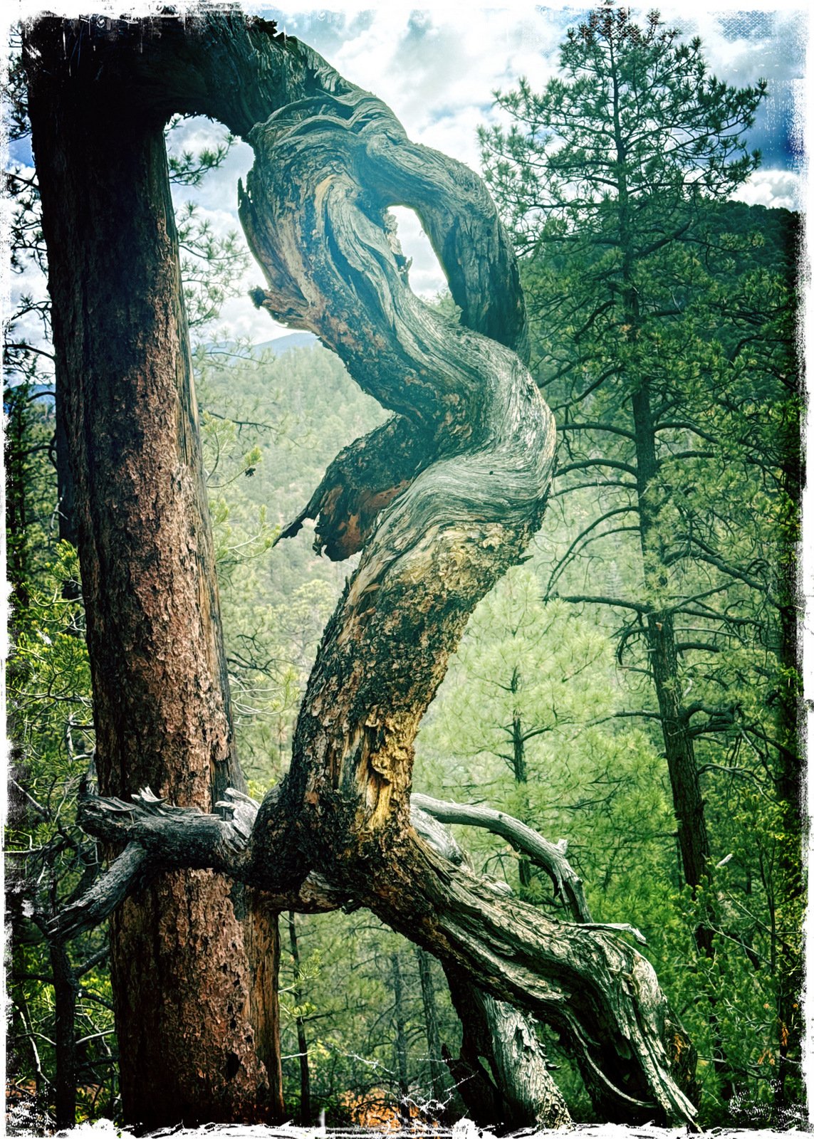
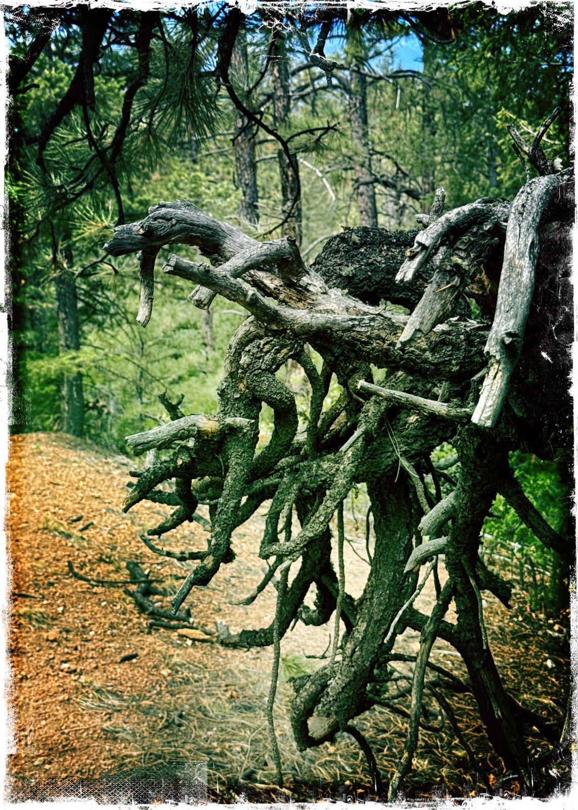
Drive up Hyde Park Road from the intersection with Gonzales Road for 4.2 miles. Parking is alongside the road, both sides. Trailhead is on the north side of the road, going down to Little Tesuque Creek..
The Hike
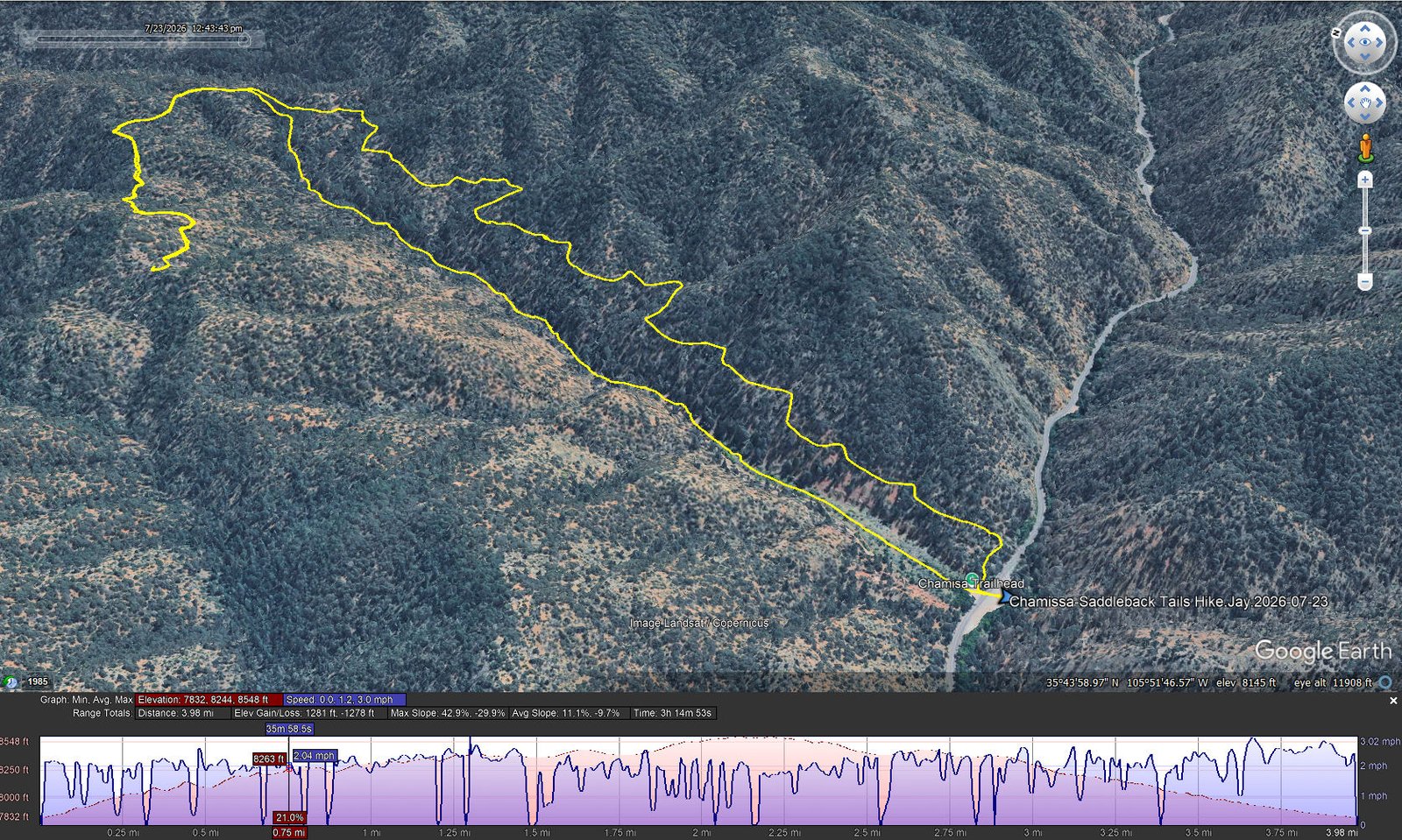
Chamisa-Saddleback Tails Hike.Jay.2026-07-23 Notes about the Google Earth screenshot: the graph at the bottom shows elevation of the track (pink area) and speed (the blue line). Click on the image for a full-screen view.
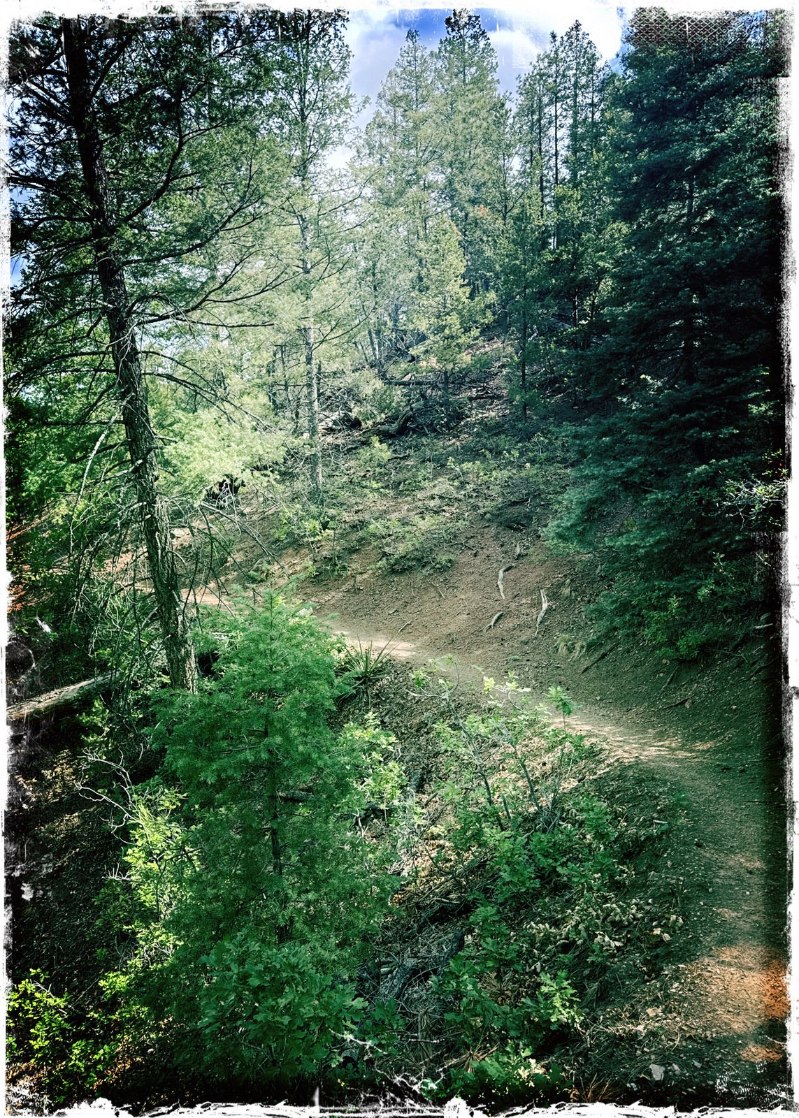
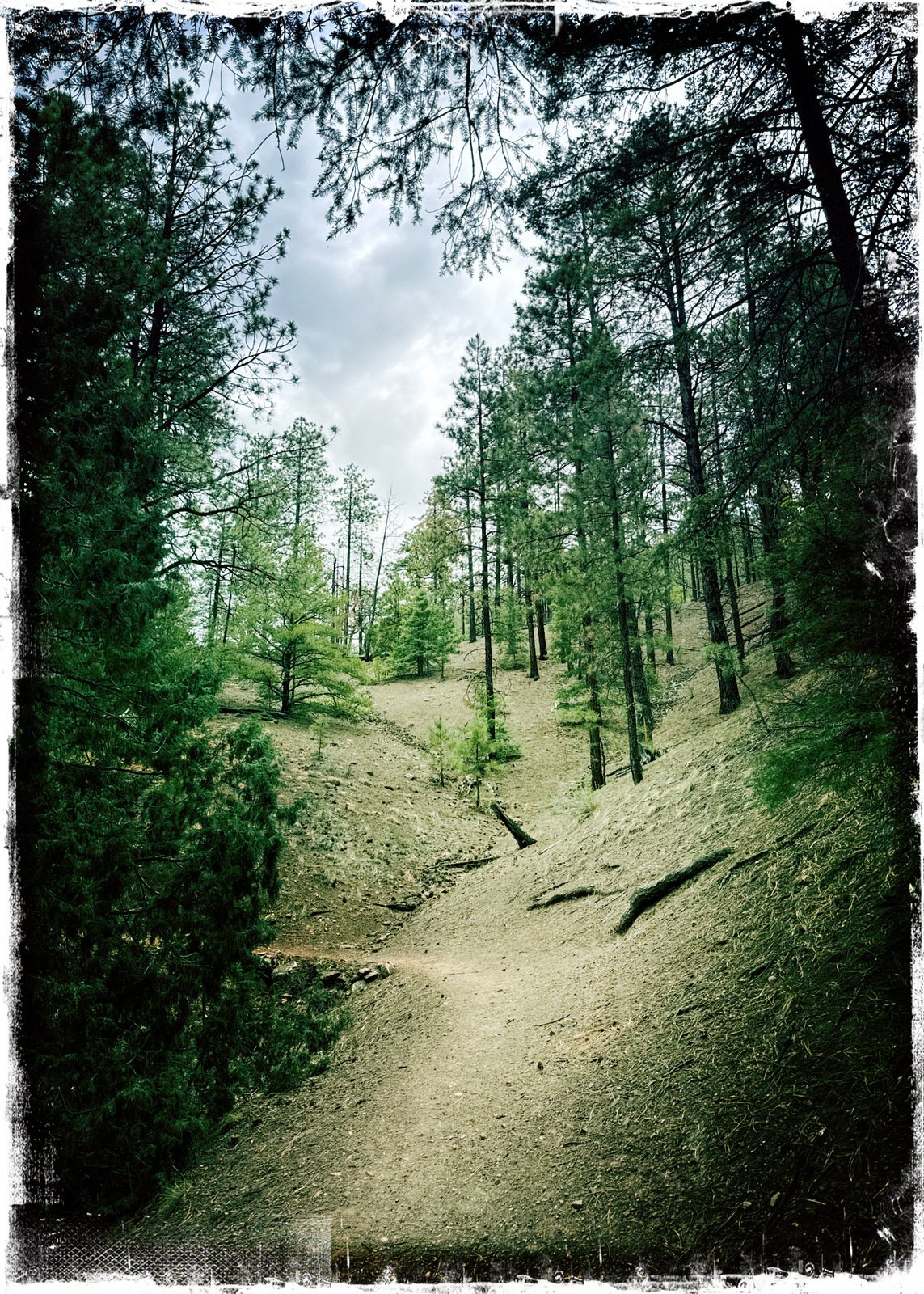
The trailhead isn’t marked; it is a short, steep, rocky descent from the road to the Little Tesuque Creek. From there, one can proceed up along the creek or go to the right onto the east slope above the Creek. We make this a loop hike; we chose to go to the right and make the loop counter-clockwise.
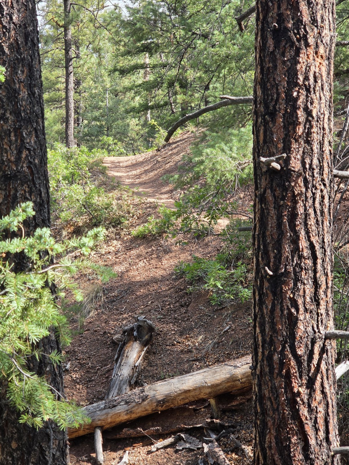
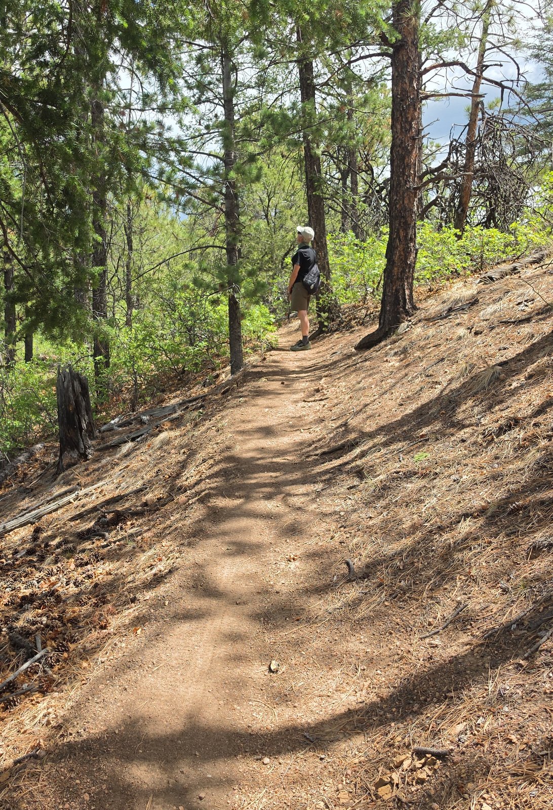
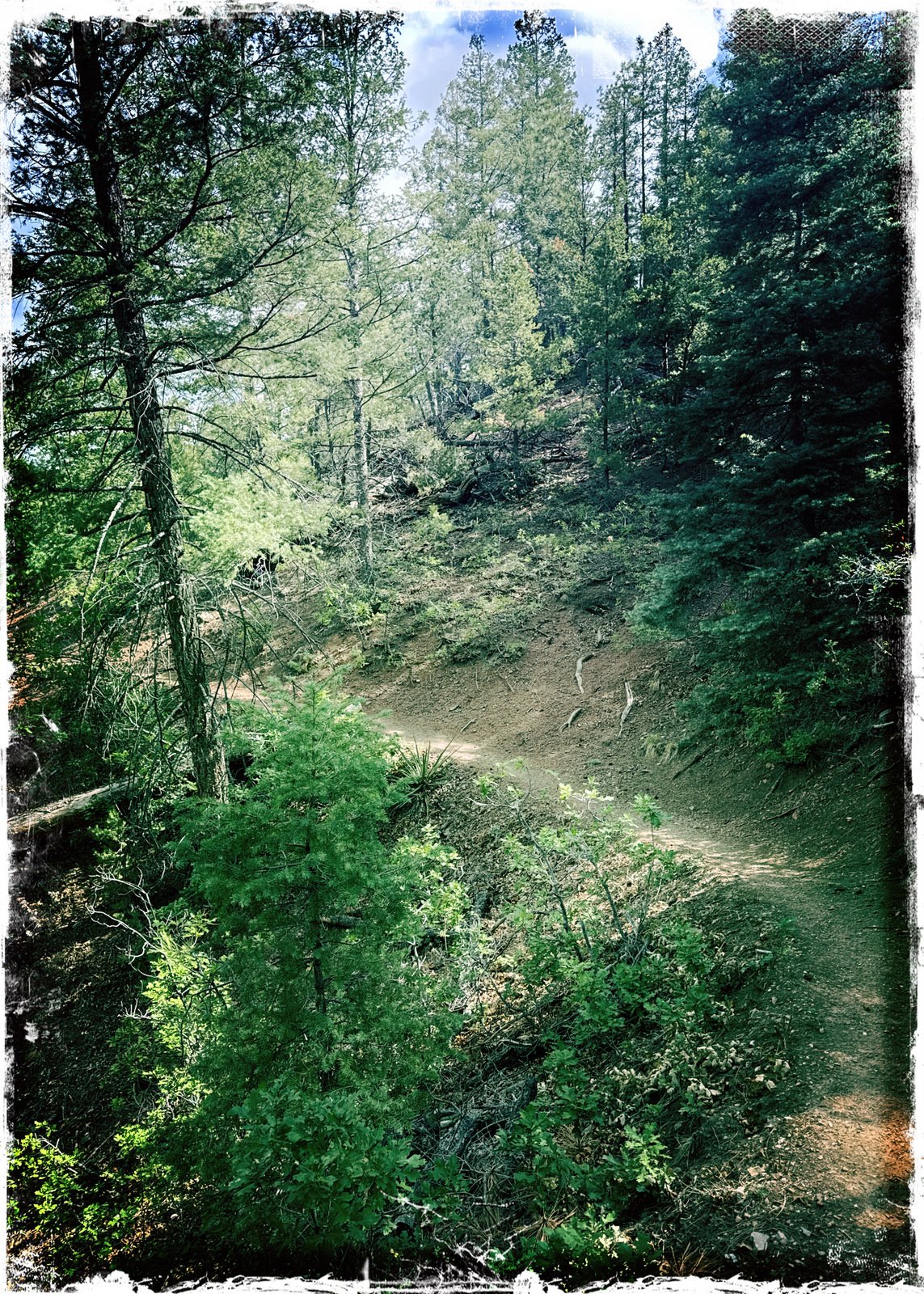
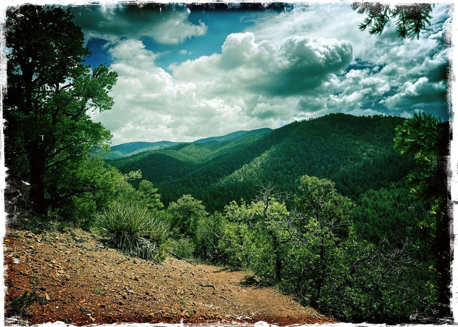
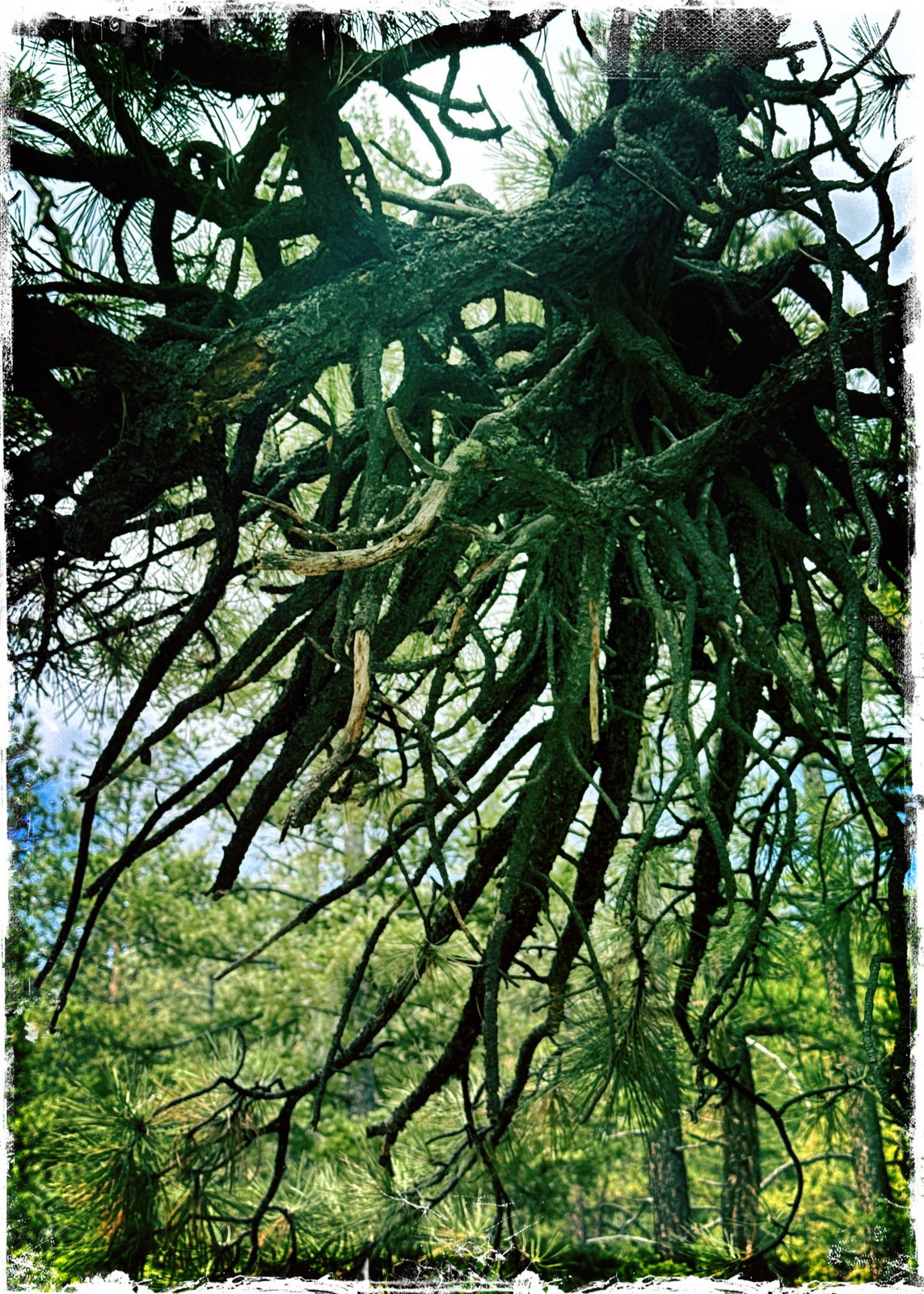
The trail is mostly a sandy single-wide trail through an open forest of ponderosa pine trees. It proceeds along the moderately steep slope above the Creek with a moderate, uniform ascent to a ridge and junction with other trails. From this ridge one can continue down to the Tesuque Creek and a junction with the Winsor Trail. We chose to continue to the left on the Saddleback Trail to extend our hike a bit. After enjoying a spot with a view, we returned to the junction and descended on the original Chamissa Trail (identified at the Trailhead as the Chamisa Trail Alt Route. It proceeds along the Creek. This, too, is an easy trail except for a section near the end that is a bit rocky.
Statistics
Total Distance: 3.98 miles Elevation: start 7,833 ft, maximum 8,548 ft, minimum 715 ft Gross gain: 715 ft. Aggregate ascending 1,281 ft, descending 1,278 ft Maximum slope: 43% ascending, 30% descending, 10.5% average Duration: 3:15, Average Speed: 1/2 mph, Shade: 75%
If you haven’t explored these hiking tracks with Google Earth, give it a try. With the virtual 3-dimensional presentation, achieved by panning and tilting the view, you can get good idea of the hike and the terrain. For some ideas, check out Using Google Earth Track Files.
— For an inline photo, click on it to display a larger image. Then [back] on your browser to return to the page.
— Some links that are marked out, suggesting they are “dead links”, will work. They go to a site that the Broken Links Finder cannot access, but -you- can.