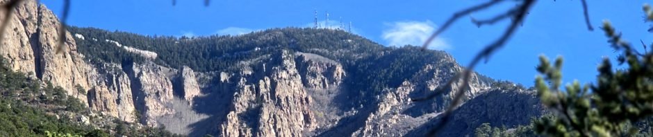
Some days we just want a trail nearby. We’ve hiked often in Tijeras Canyon and up South 14 to Oak Flats. But … we haven’t hiked Sandias East lately and it’s been 7 years since we hiked Piedra Lisa South. The day was perfect – mid-60’s and sunny with a few clouds to highlight New Mexico’s beautiful blue skies.
The Drive In
Coming from I-25 in Tramway, just west of the big turn from east to south, turn left onto Juan Tabo Road (soon becomes Forest Service Rd 333). It is paved for 1.5 miles, then becomes “all-weather gravel”, with some sharp curves. The trailhead is on Forest Service 333 Rd, about a third of a mile beyond where the pavement ends. At 1.3 miles, you will find a large parking lot on the left and signs to the trailhead across the road.
The Hike
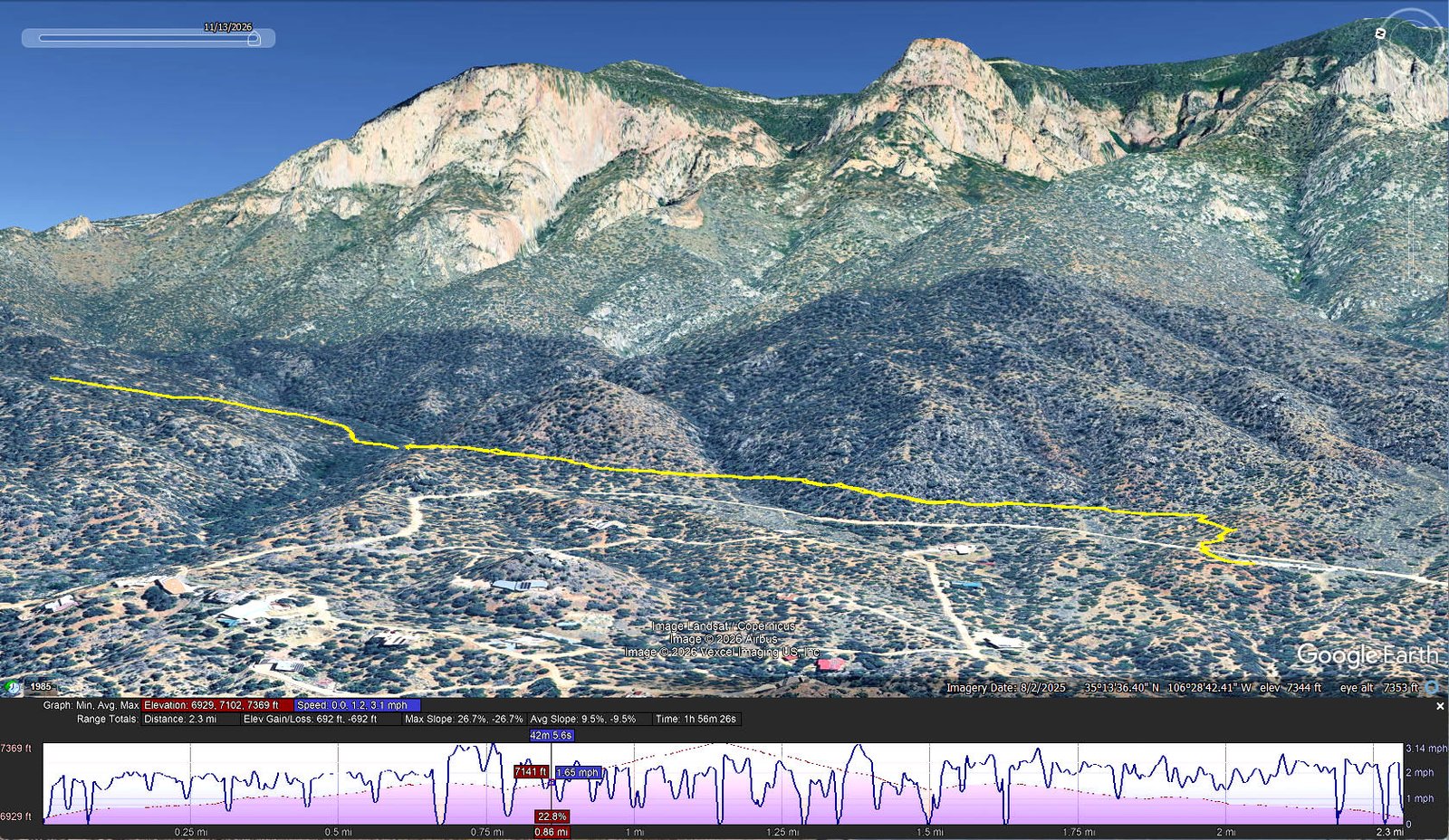
Piedra Lisa South Trail Hike.Pat.2026-11-13
Notes about the Google Earth screenshot: the graph at the bottom shows elevation of the track (pink area) and speed (the blue line). Click on the image for a full-screen view.
Off of the road, the trail begins with a steep rock stairway suggesting – this might be a bit steep hike. Towering above us were prominent features of the northern third of the Sandia Mountains: North Sandia Peak, the Tombstone, and the Chimney.
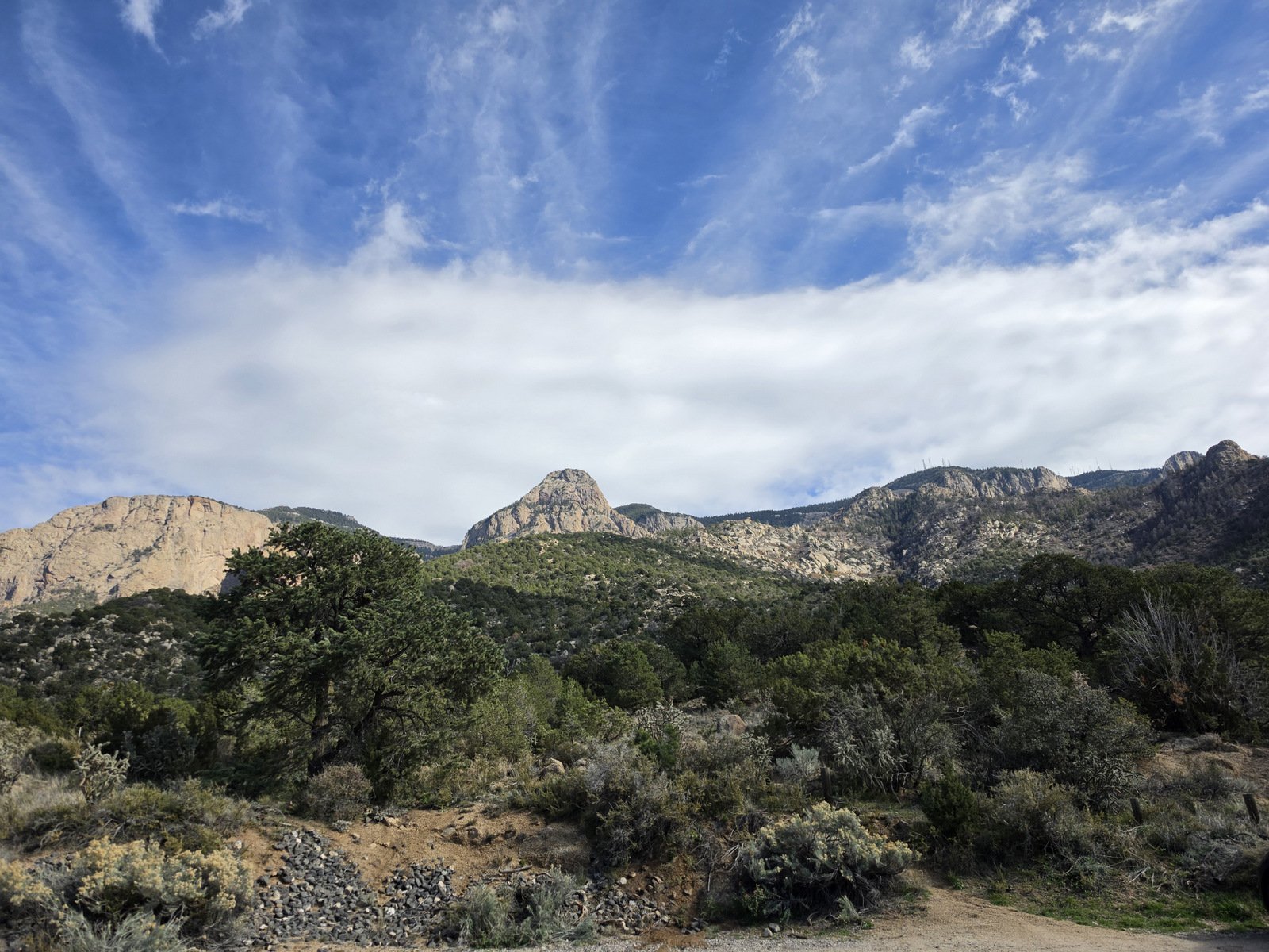
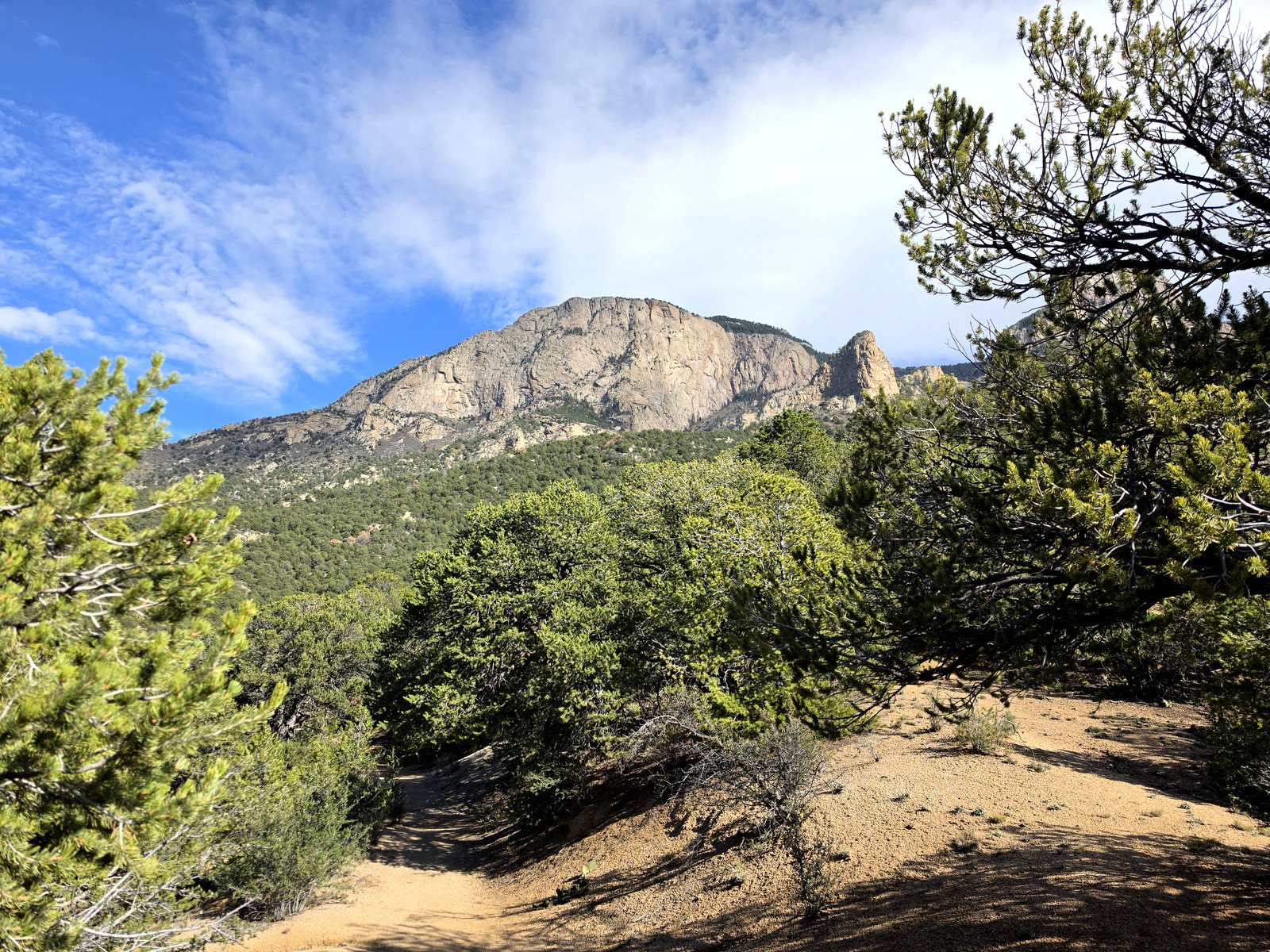
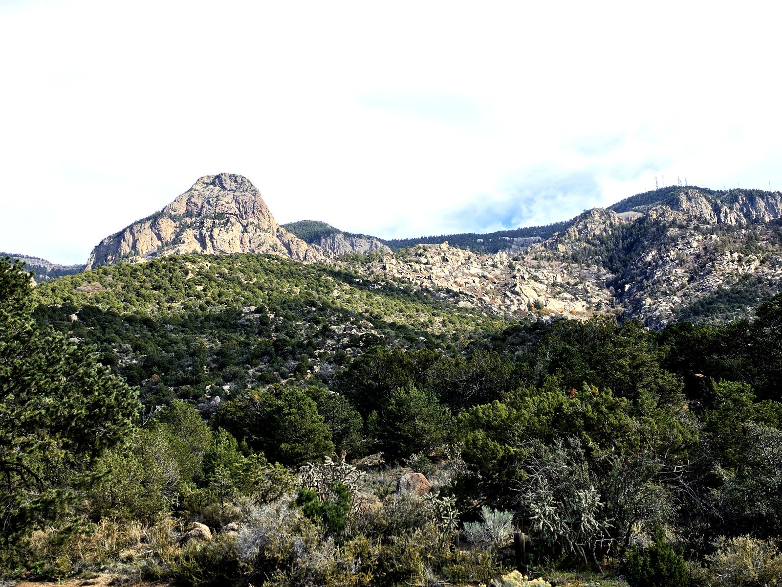
The trail passes through pleasant juniper and healthy piñon trees, generally nice dirt with occasional rocky sections, and for the first half mile the trail is in some places narrow on a steep hillside.
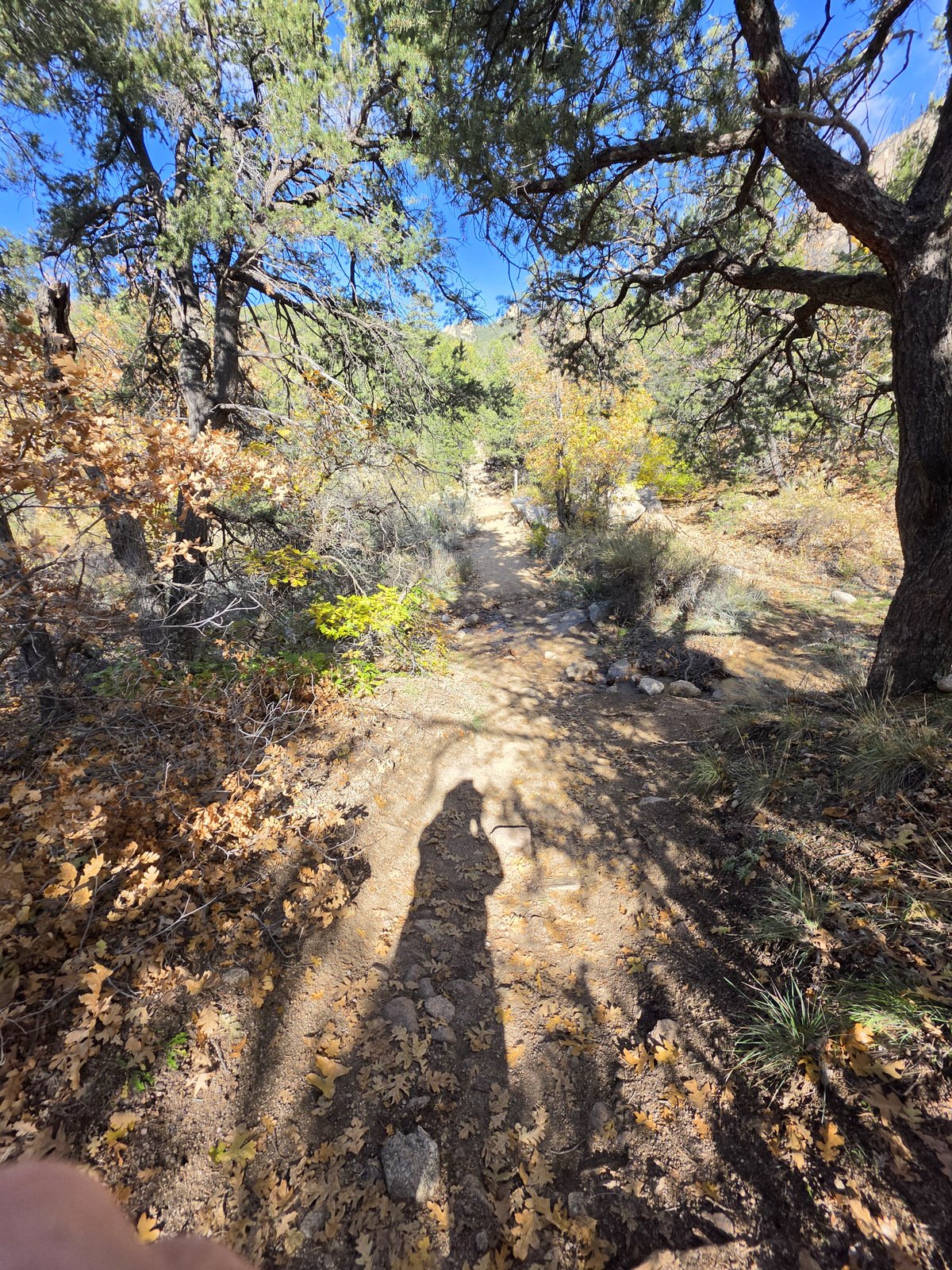
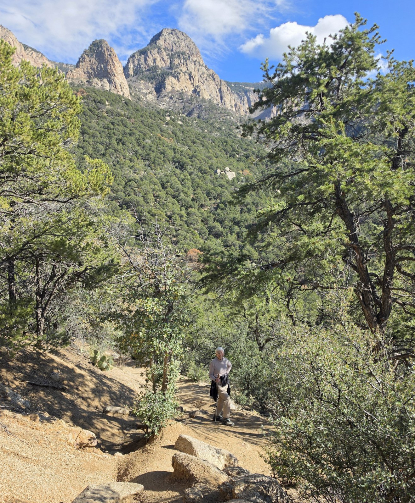
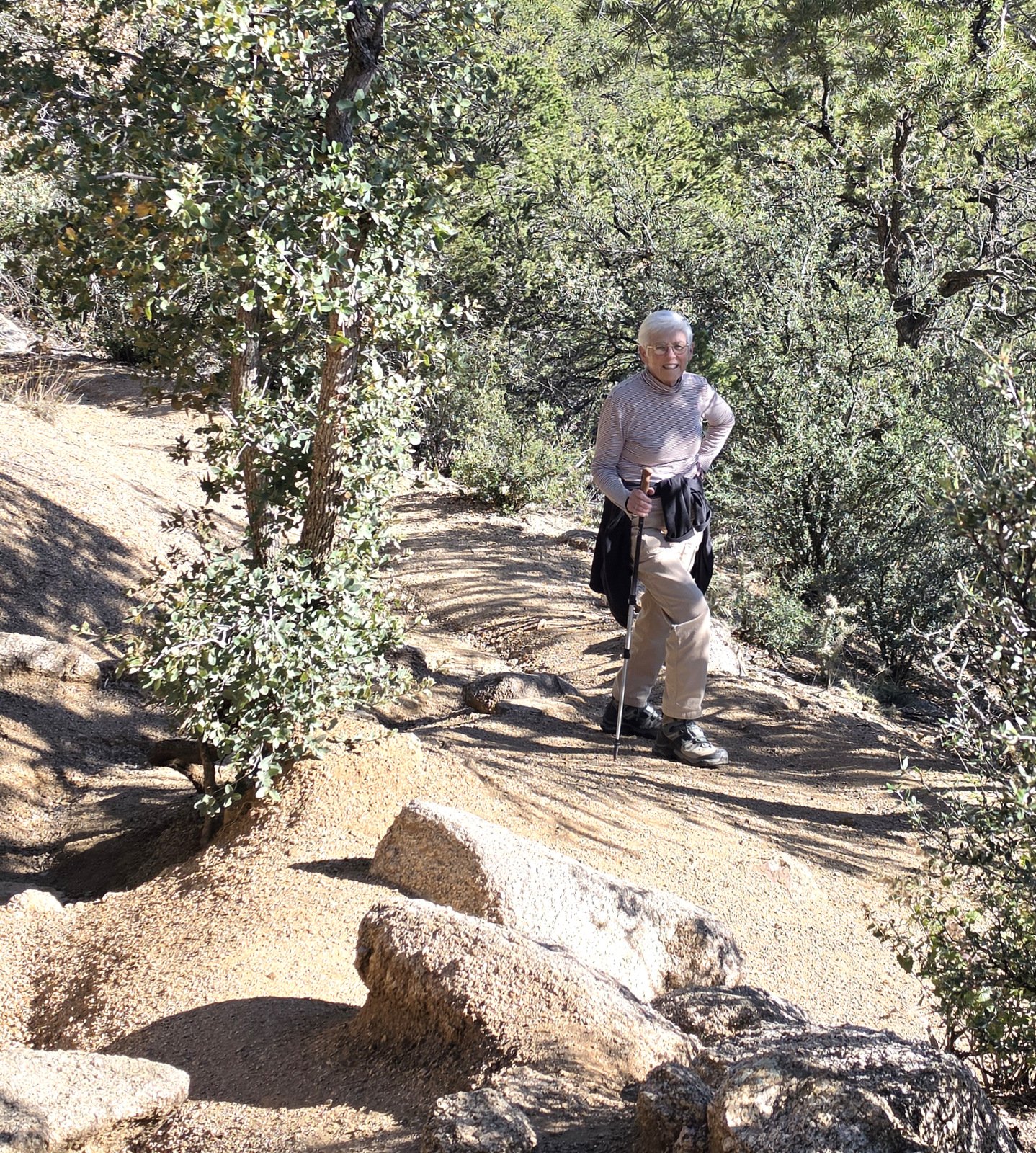
The trail maintains a steady climb until a short descent to cross a small springfed stream (.8 miles) flowing nicely this day. (The stream comes from two waterfalls to the east; we considered visiting them but chose to continue on Piedra Lisa). From there the trail became steeper with a few more rocky sections, a bit more challenging and suggesting use of a pole (especially when returning downhill).
There are many options, trails off of Piedra Lisa, and one can do a through-hike to Piedra Lisa North and on to the trailhead out of Placitas. Check the Related Posts below.
Highlight
T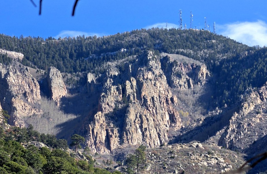 rails on the west side of the Sandia Mountains show off the amazing rocky faces of this small mountain range. Few show them off better than Piedra Lisa. And I wonder how the aspen grove on both sides of The Prow, gray color this time of year, would add to the amazing beauty during the summer and especially in autumn when they are golden splendor – I’ll put it on my calendar.
Statistics
Total Distance: 2.3 miles
Elevation: start 6,930 ft, maximum 7,369 ft, minimum 6,929 ft
Gross gain: 440 ft. Aggregate ascending 692 ft, descending 692 ft
Maximum slope: 27% ascending, 27% descending, 9.6% average
Duration: 1:56 Average Speed: 1.2 mph, Shade: 60%
| GPS Track Files for Download | |
1 Download | |
1 Download | |
1 Download | |
If you haven’t explored these hiking tracks with Google Earth, I urge you to try it. With the virtual 3-dimensional presentation, achieved by panning and tilting the view, you can get a much better idea of the hikes and terrain than you can get from the screenshot above. For some ideas, check out Using Google Earth Track Files. | |
Related Posts
Piedra Lisa South Trail – 05/02/2019
Piedra Lisa South-Fletcher – 11/01/2015
Piedra Lisa South-Waterfall – 09/04/2016
Piedra Lisa South-Waterfall – 03/20/2015
Piedra Lisa South – 05/11/2013
References and Resources
AI: Piedra Lisa Trail
AllTrails: Piedra Lisa Trail
Piedra Lisa Canyon Trail
CABQ: Albuquerque Open Space Foothills Trail Map – Piedra Lisa (pdf)
Hiking Project: Piedra Lisa Trail #135
ASCHG: Piedra Lisa South to North
Views to date: 0 views.