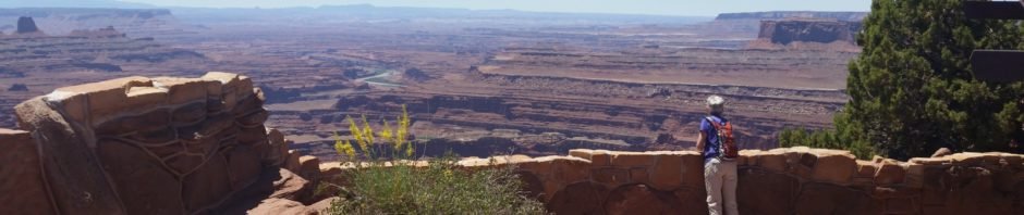
On our return from a trip to Provo, UT, Pat & I visited Canyonlands National Park, choosing Dead Horse Point State Park. We enjoyed an easy hike, looking down upon upon the canyons and the Colorado River.
The Hike
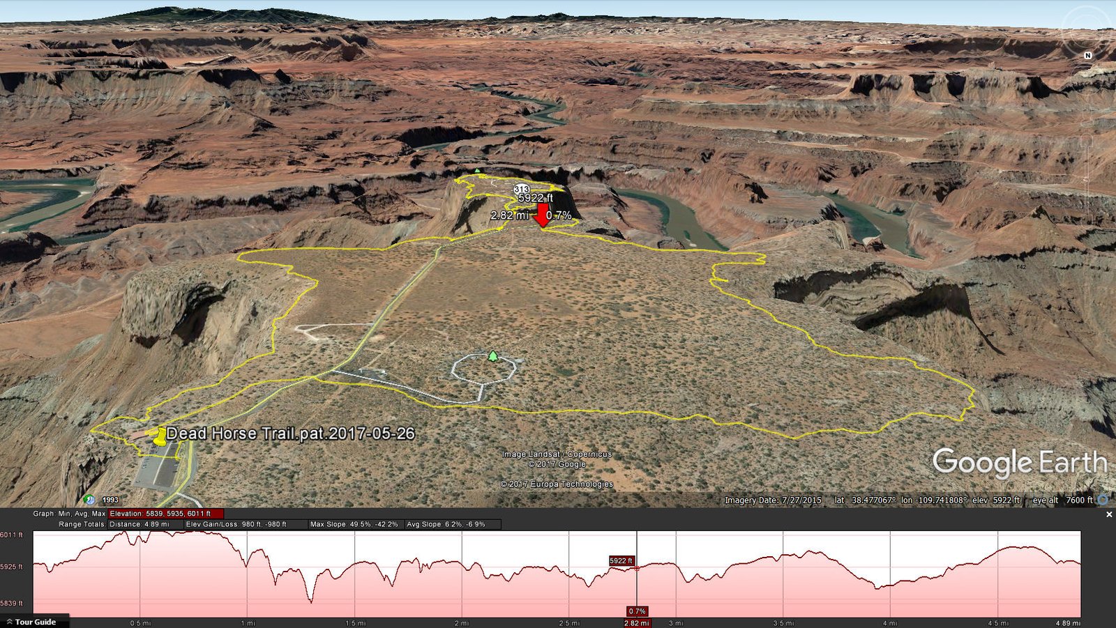
Dead Horse Point.Pat.2017-05-26 Amazing mesa overlooking an amazing array of canyons of the Canyonlands National Park and the Colorado River. (Note: The track shown above has been edited because the positions that the GPS recorded did not match the ground in GoogleEarth’s “3D” image, i.e. without the editing, the track would have gone “over the cliff” in 3 or 4 places.)
Statistics
Total Distance: 4.89 miles
Elevation: start 5,925 ft, maximum 6,011 ft, minimum 5,839 ft
Gross gain: 172 ft. Aggregate ascending 980 ft, descending 980 ft
Maximum slope: 50% ascending, 42% descending, 6% average
Duration: 4:03
| GPS Track Files for Download | |
238 Downloads | |
|---|---|
405 Downloads | |
I urge you to explore our hiking tracks with Google Earth. With the virtual 3-dimensional presentation, achieved by panning and tilting the view, you can get a much better idea of the hikes and terrain than you can get from the 2-dimensional screenshot above. For assistance: Using Google Earth Track Files.
References
National Park Service: Canyonlands National Park
Utah State Parks: Canyonlands National Park
Discover Moab: Dead Horse Point State Park


