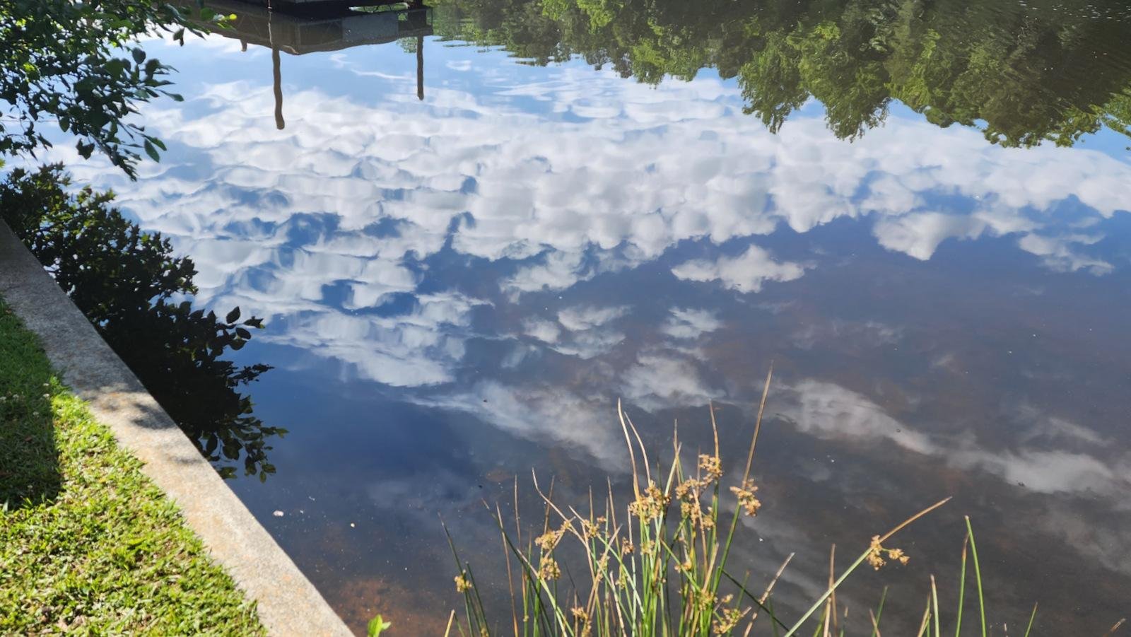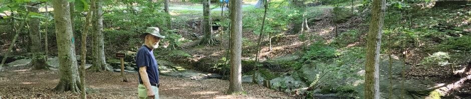
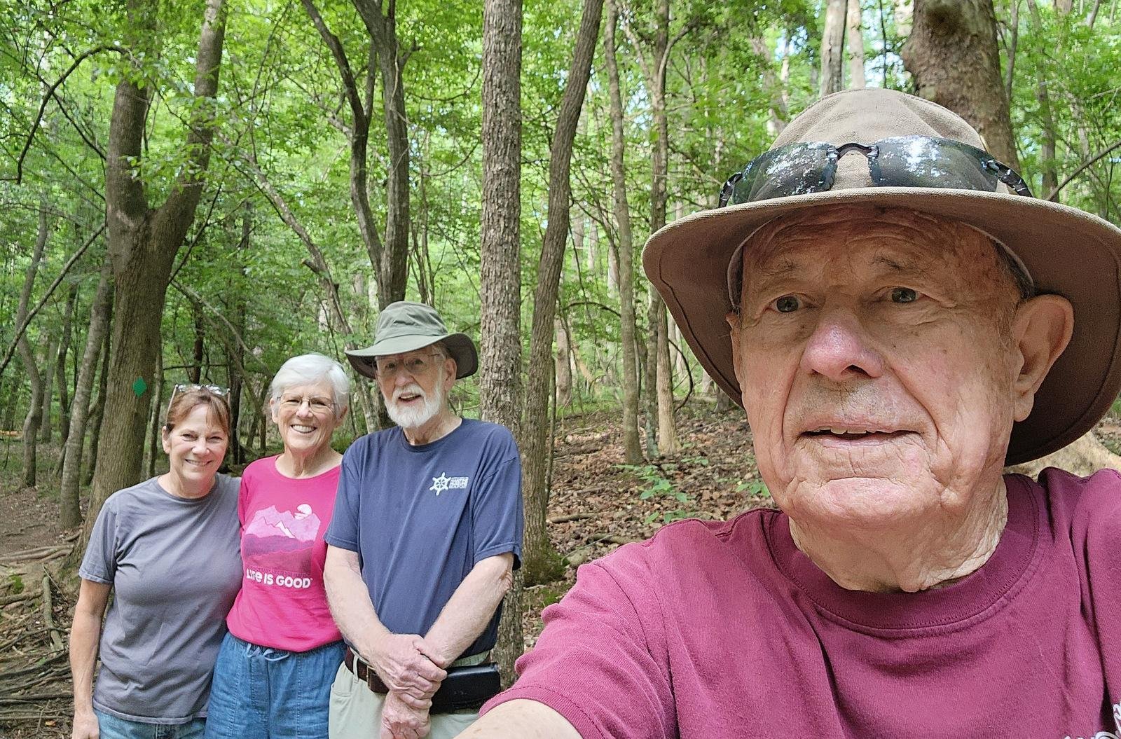
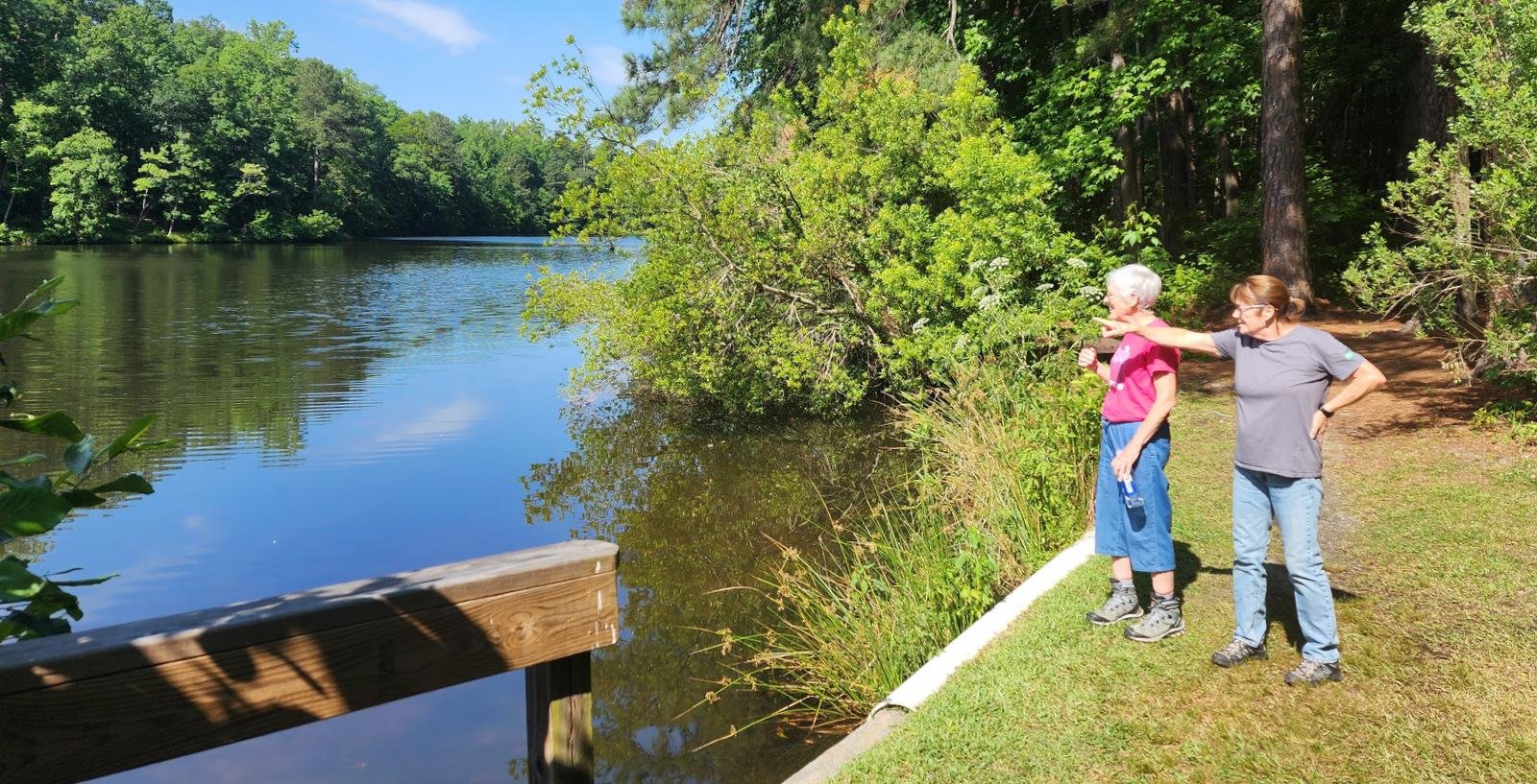
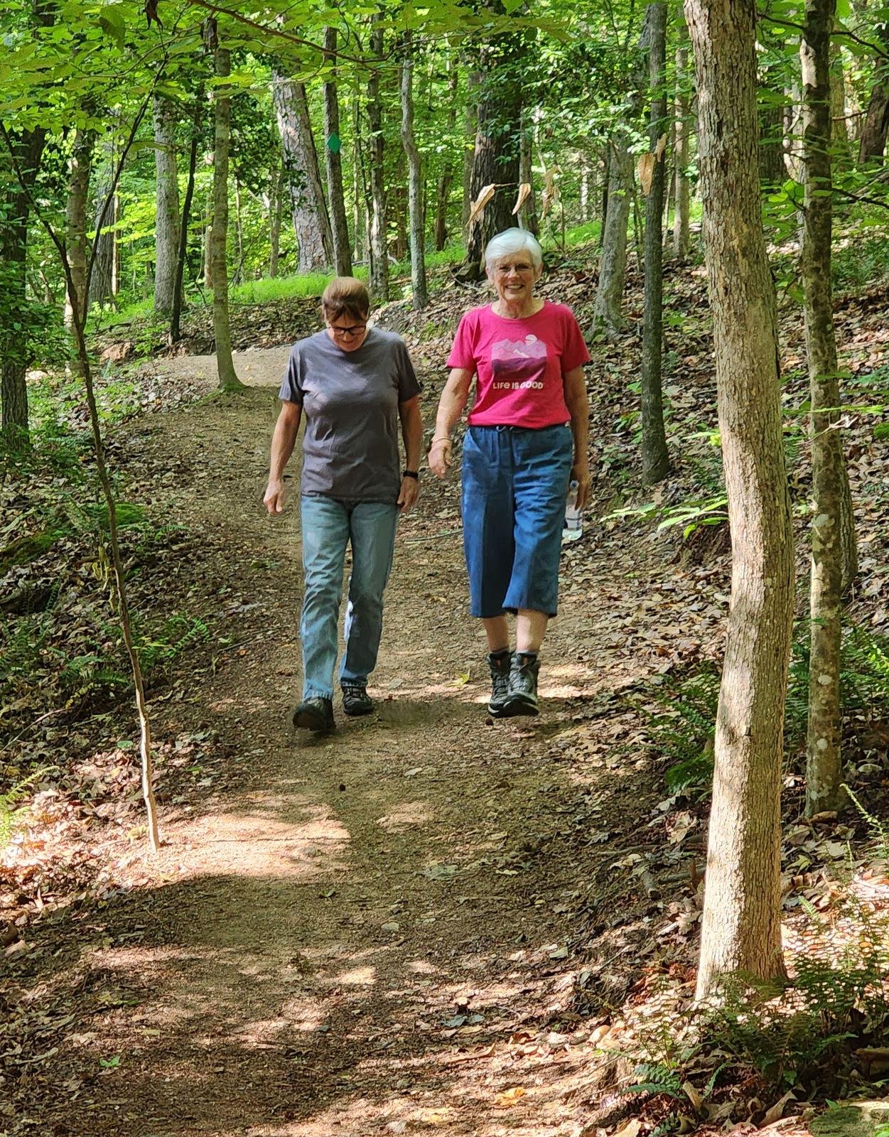
 Visiting with Pat’s brother and wife in Raleigh, as is customary we took some time to get in a walk on a trail in one of the many parks in the area. Steve and Sharon chose the Durant Nature Preserve, nice trails along a stream in a forested area around Camp Durant Lake Number One.
The Drive In
These trails are in the Durant Nature Preserve in Raleigh, NC; check your favorite navigation program to find your way there.
The Hike
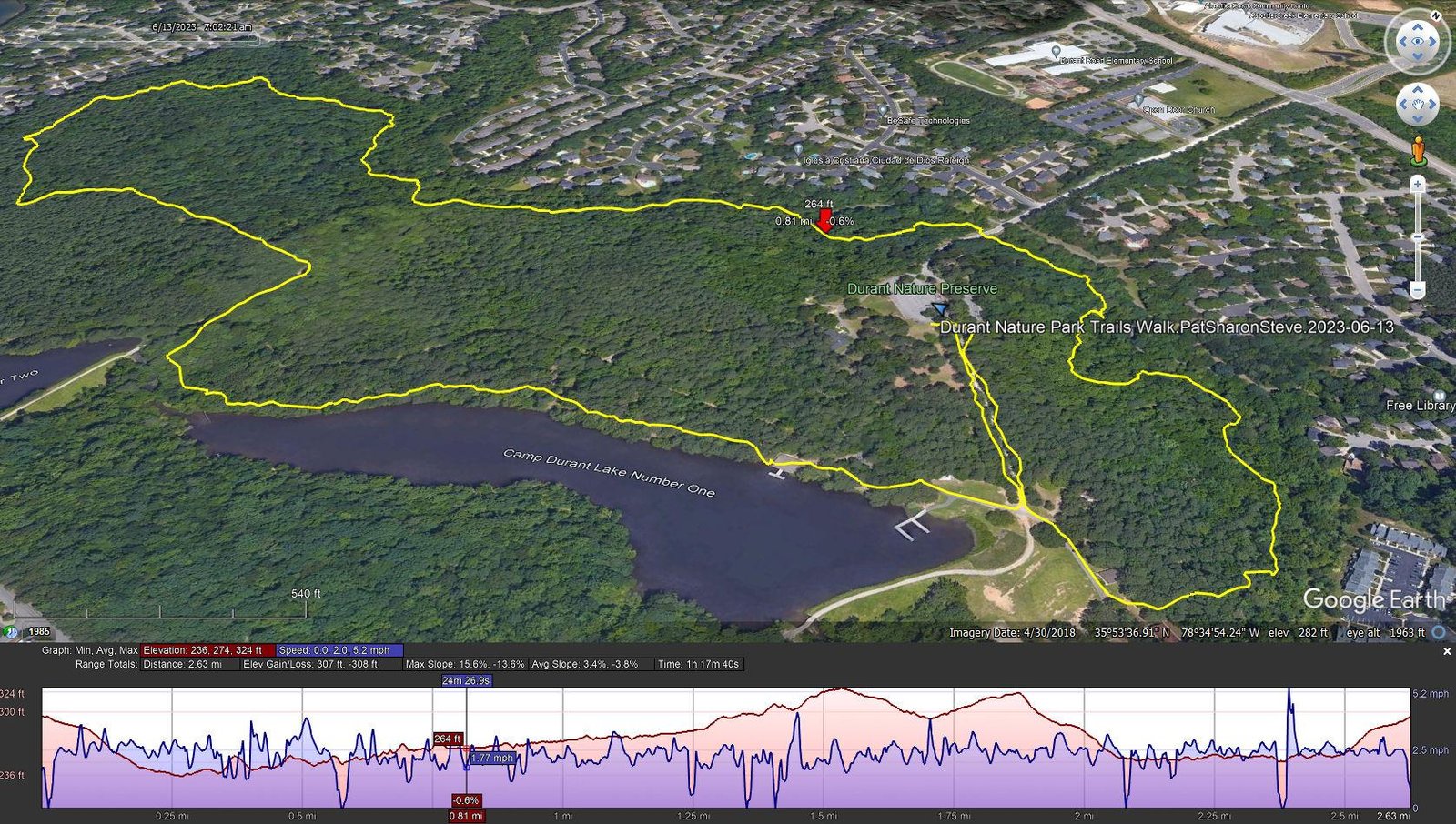
Durant Nature Park Trails Walk.PatSharonSteve.2023-06-13
Notes about the Google Earth screenshot: the graph at the bottom shows elevation of the track (pink area) and speed (the blue line).
We visited this park during a previous visit, and again enjoyed “… pleasant to walk through the lush woods with a stream and lake nearby. But … so much green; from New Mexico, it is almost overpowering.”.
Statistics
Total Distance: 2.63 miles
Elevation: start 296 ft, maximum 324 ft, minimum 236 ft
Gross gain: 88 ft. Aggregate ascending 307 ft, descending 308 ft
Maximum slope: 16% ascending, 14% descending, 3.6% average
Duration: 1:18
| GPS Track Files for Download | |
208 Downloads | |
|---|---|
150 Downloads | |
If you haven’t explored these hiking tracks with Google Earth, I urge you to try it. With the virtual 3-dimensional presentation, achieved by panning and tilting the view, you can get a much better idea of the hikes and terrain than you can get from the screenshot above. For some ideas, check out Using Google Earth Track Files.
Related Posts
Wake Forest Walkabouts – o5/2022
References and Resources
RaleighNC.gov/Parks:
Durant Nature Preserve
Durant Nature Preserve Map (.pdf)
raleighparks.org: Durant Nature Preserve
AllTrails: Best Trails in Durant Nature Preserve
Carolina Bird Club: Durant Nature Preserve