Posted in March 2019. One of our early hikes, checking out trails out of Tijeras, on the south end of the Sandia Mountains. Our first try at Hawk Watch.
The Hike
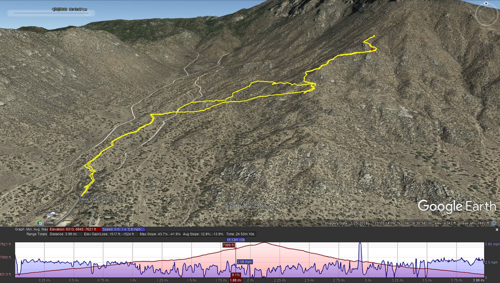
Hawk Watch Hike.Jay.2013-04-27
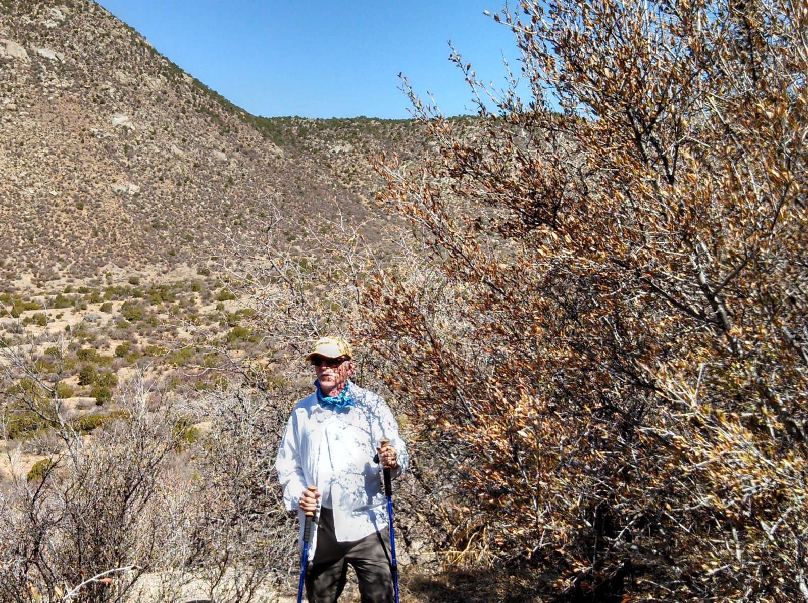
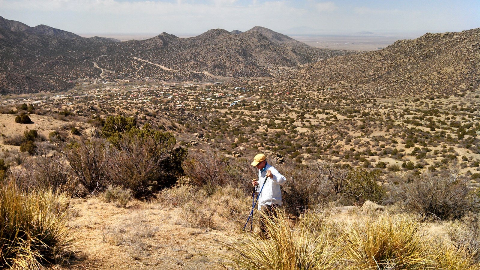
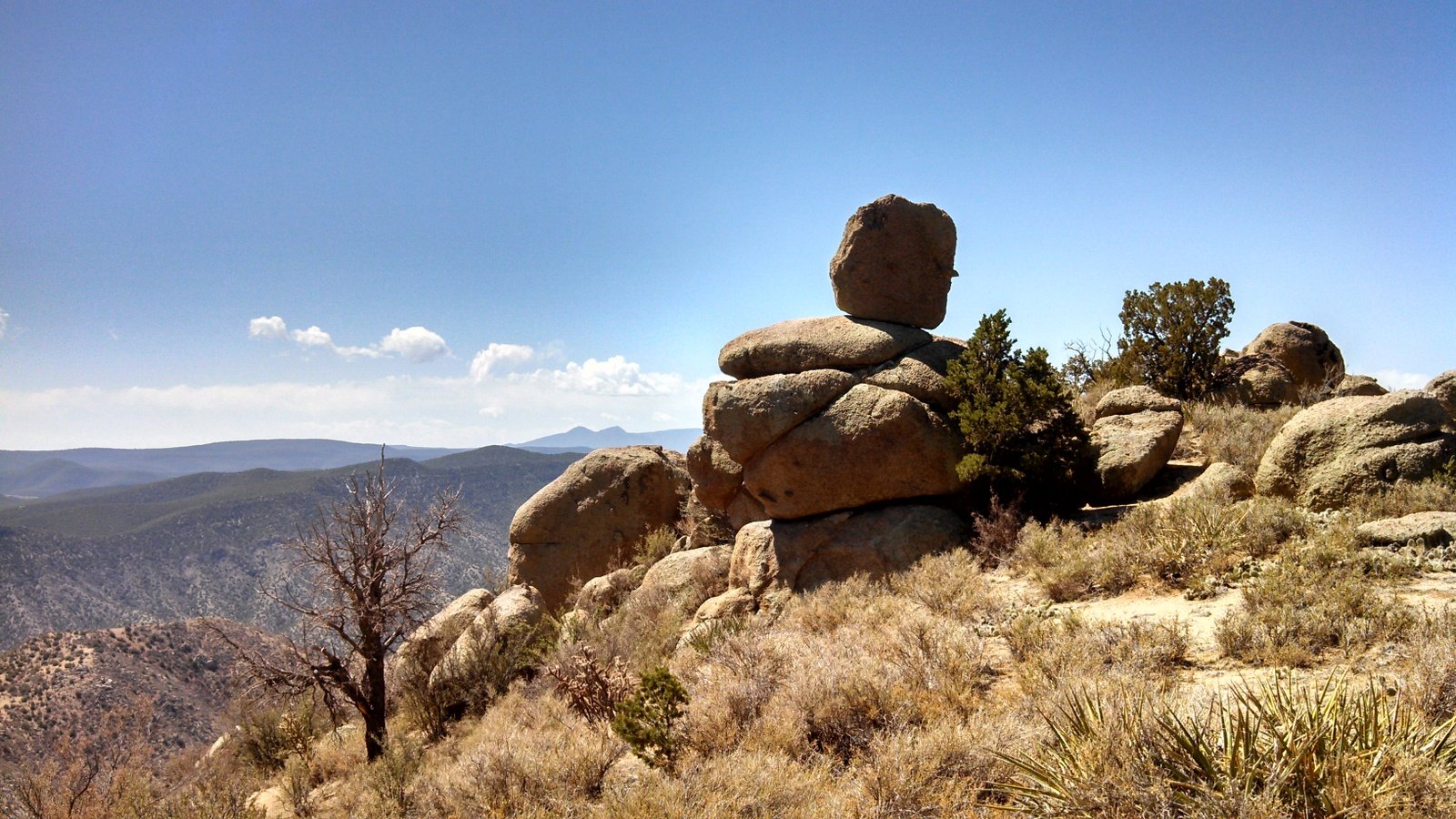
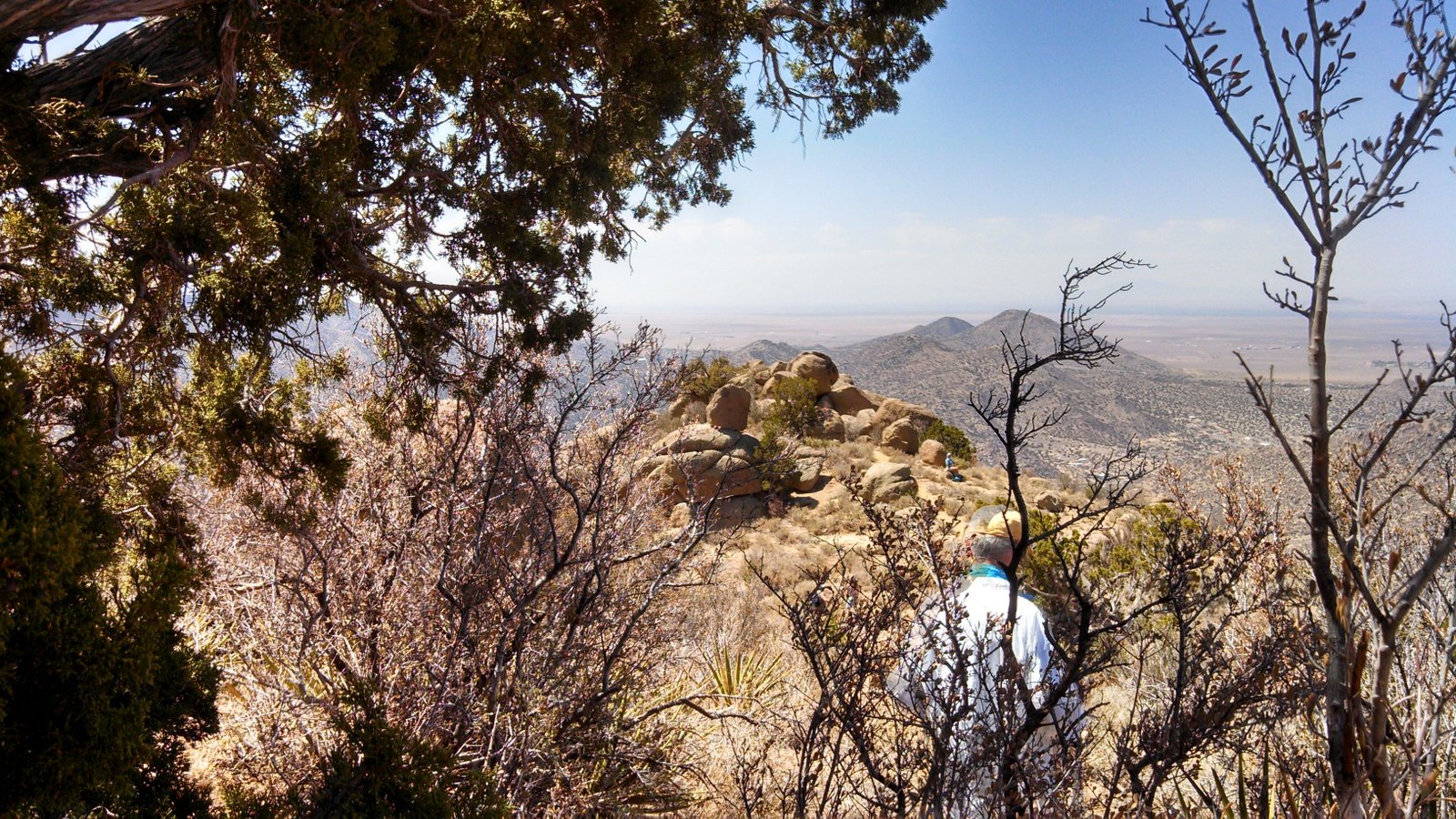
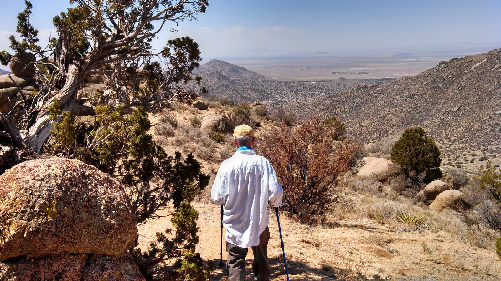
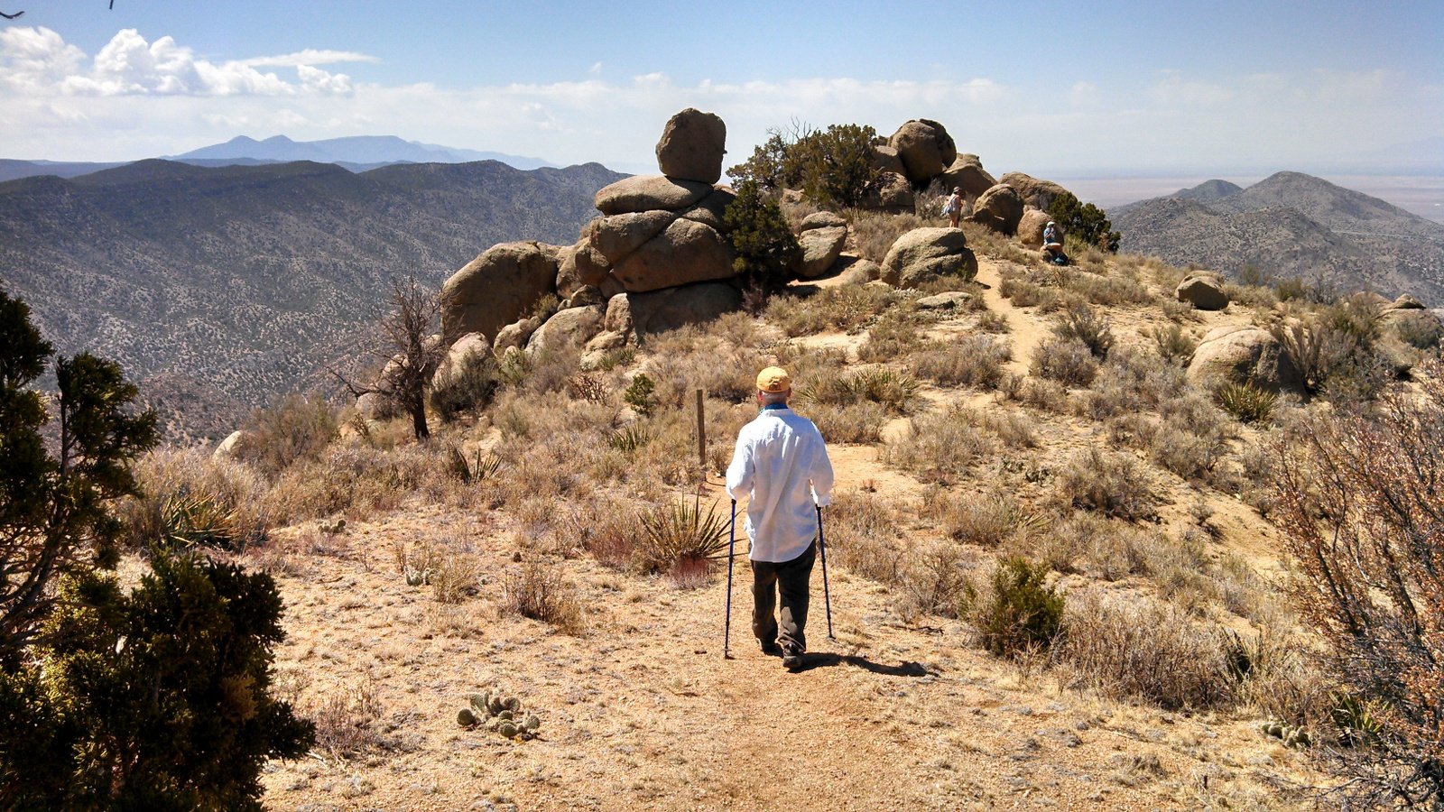
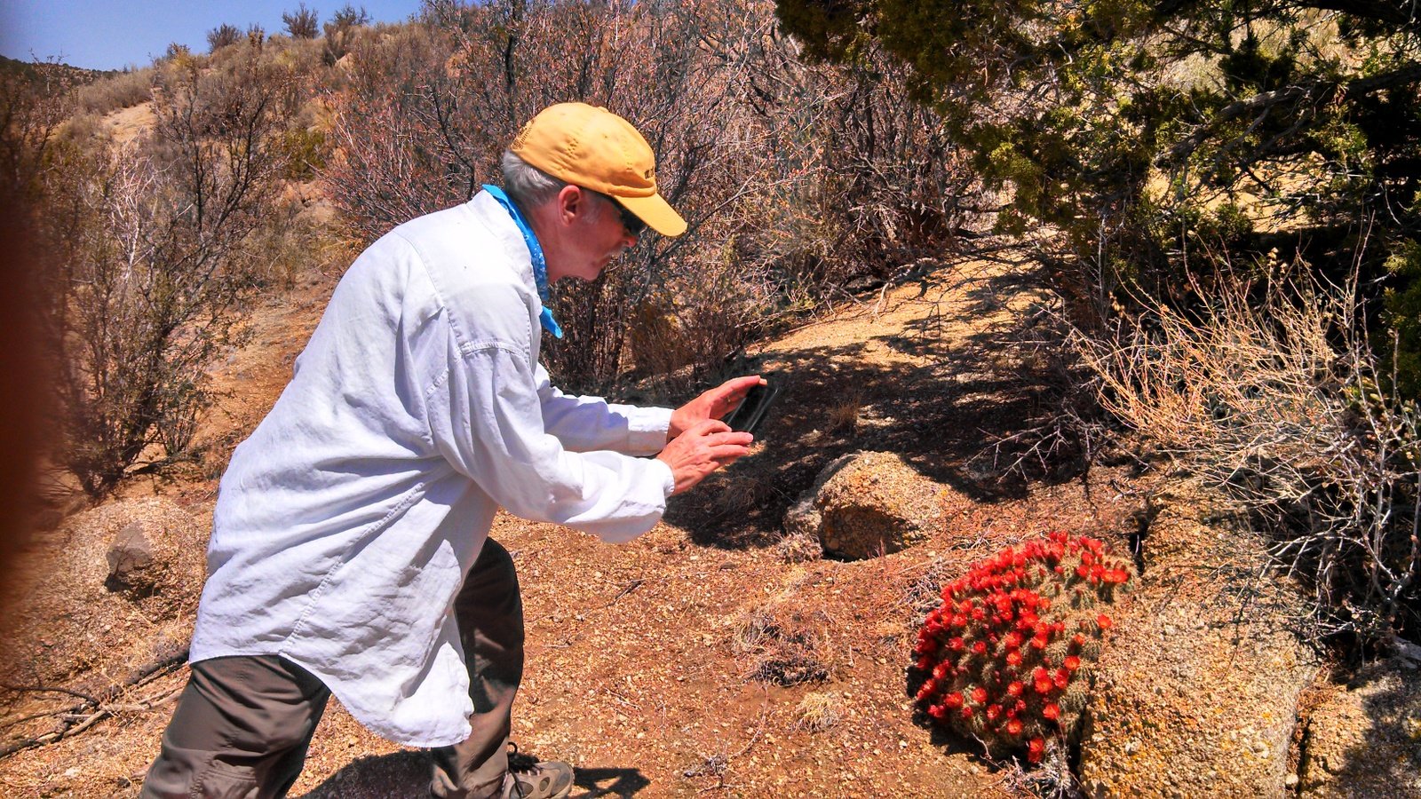
The turnoff is about 3 miles up the Three Gun Springs trail. We missed the trail after shortly after the turn, mistakenly chose to head up the arroyo. From there wandered some until concluding we needed to head southeast and uphill to get on Hawk Watch. Once back on the trail, it was uphill from there. The views across Tijeras Canyon are truly great. And along the way we passed some very interesting rock outcroppings
Statistics
Total Distance: 3.99 miles
Elevation: start 6,313 ft, maximum 7,621 ft, minimum 6,313 ft
Gross gain: 1,308 ft. Aggregate ascending 1,517 ft, descending 1,524 ft
Maximum slope: 44% ascending, 42% descending, 12.8% average
Duration: 2:53
| GPS Track Files for Download | |
197 Downloads | |
|---|---|
155 Downloads | |
I urge you to explore our hiking tracks with Google Earth. With the virtual 3-dimensional presentation, achieved by panning and tilting the view, you can get a much better idea of the hikes and terrain than you can get from the 2-dimensional screenshot above. For assistance: Using Google Earth Track Files.
References
USDA Forest Service: Hawk Watch Trail 215
Hawk Watch International: Sandia Mountains, NM HawkWatch
ASCHG: Hawk Watch Hike
New Mexico Meanders: 2017-02-25 South Sandia Peak Loop Hike
AllTrails: Hawkwatch Trail
SummitPost: Hawk Watch Trail