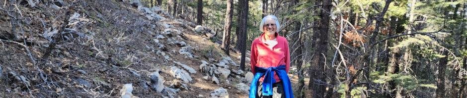
Our first camping trip with our new R-Pod 171, to the Manzano Mountains State Park campground. The RP-171 is like our old RP-171, but has no slideout. So this was our first opportunity to face the challenge of figuring out how to store the essentials for camping trips.
The Drive In
Manzano Mountains State Park is just south of the Land Grant village of Manzano, on the eastern slopes of the Manzano Mountains. From Albuquerque, drive east on I-40, then at Tijeras go south on NM 337, 29 miles. At the ‘T’ turn right onto NM 55, pass through the other Land Grant villages of Tajique and Torreon, and Manzano (12 miles). Before leaving Manzano, turn right onto NM 131 (may also be identified as CR BO64); signs will direct you to the State Park. Remain on the paved road (requires a right turn onto CO BO62) to the park entrance (about 3.1 miles), onto dirt/gravel road to the campground ahead.
The Hike
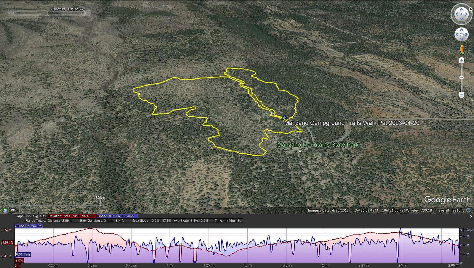
Manzano Campground Trails Walk.Pat.2023-04-20
Notes about the Google Earth screenshot: the graph at the bottom shows elevation of the track (pink area) and speed (the blue line).
S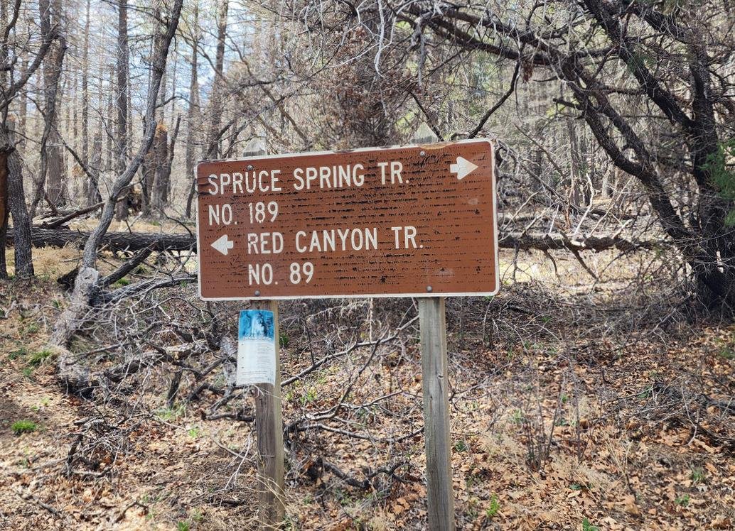
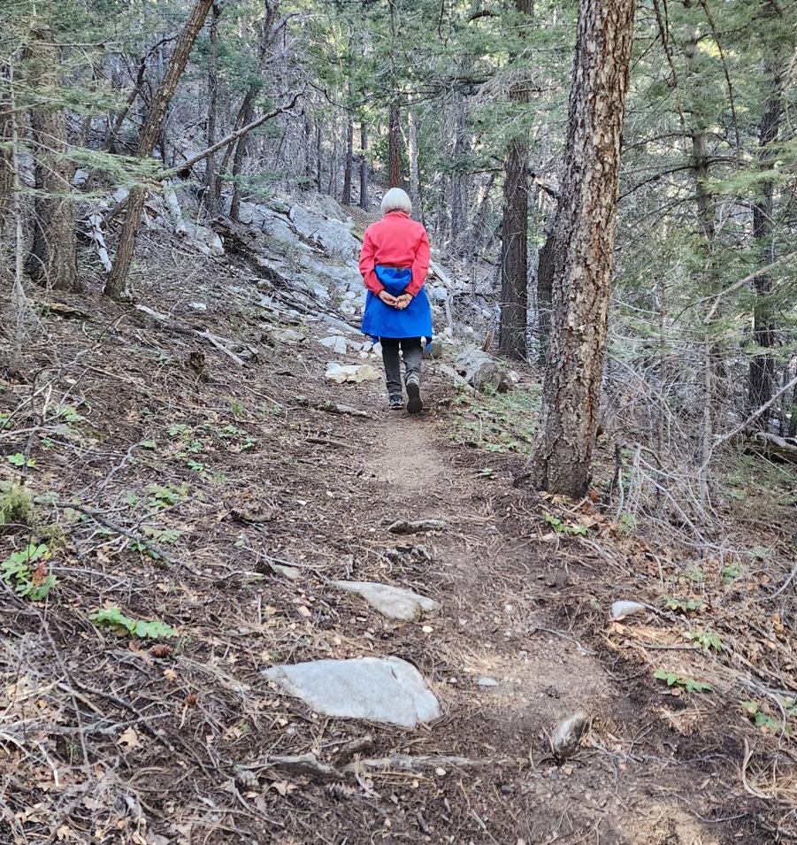 ince our main goal was to spend a couple of nights in the new RP-171, we didn’t set our sites on hiking. We did make a short drive past the radio tower and into the National Forest on FR 253, to check out the Red Canyon Campground. While there, we made a short hike (‘walk’) on the Spruce Spring trail to stretch our legs after the drive from Albuquerque.
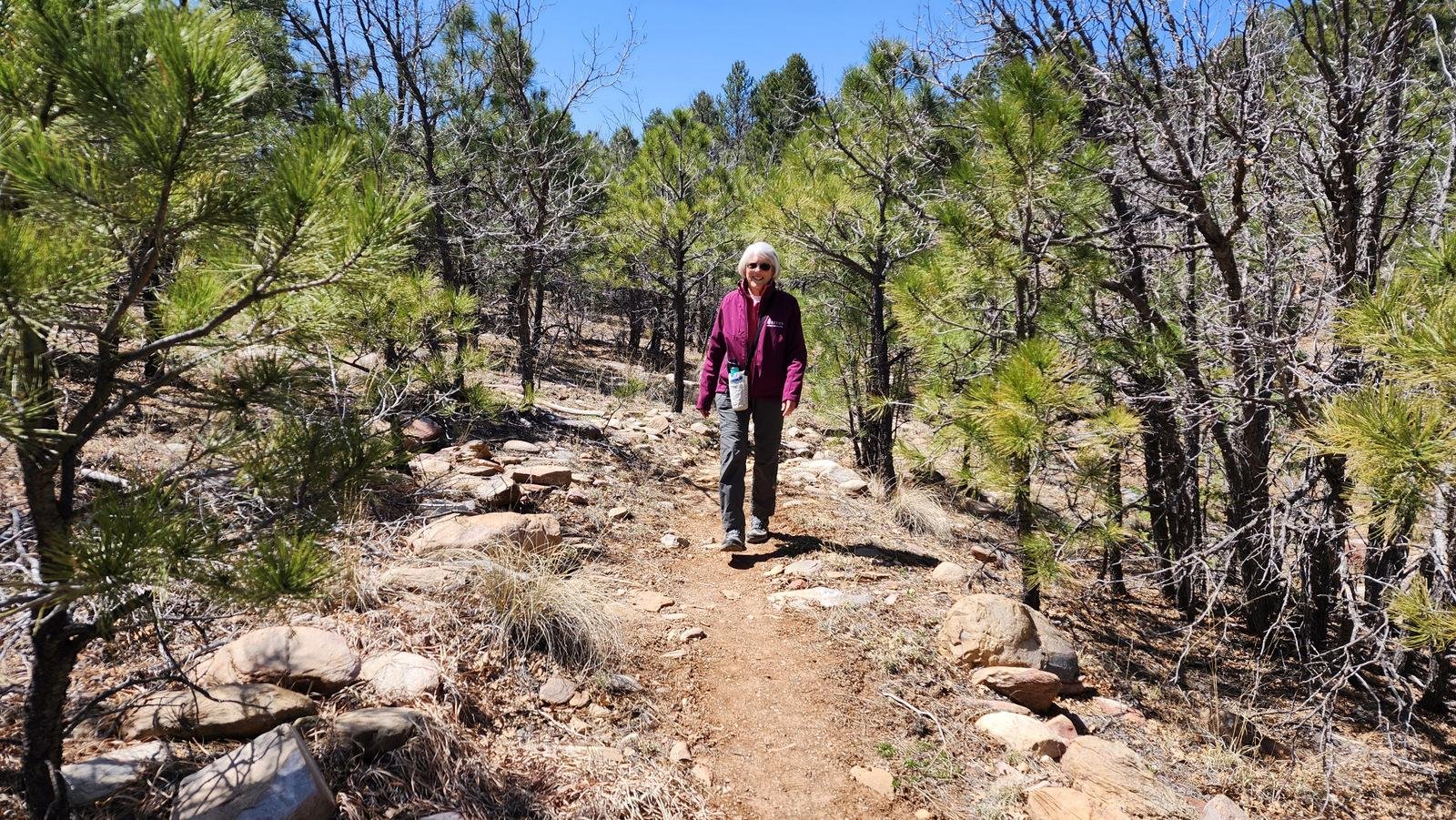 The next day, to get in more than a short hike, we opted to check out the trails within the State Campground. We were pleasantly surprised by the extent of the trails. They are well maintained (used?) as they pass through the pine/juniper forest typical of this area. We ended up walking nearly the 3 miles, which is our norm each day that we aren’t doing a more serious ‘hike’.
Statistics
Total Distance: 2.86 miles
Elevation: start 7,291 ft, maximum 7,374 ft, minimum 7,241 ft
Gross gain: 133 ft. Aggregate ascending 314 ft, descending 314 ft
Maximum slope: 14% ascending, 18% descending, 3.6% average
Duration: 1:46
| GPS Track Files for Download | |
152 Downloads | |
|---|---|
157 Downloads | |
If you haven’t explored these hiking tracks with Google Earth, I urge you to try it. With the virtual 3-dimensional presentation, achieved by panning and tilting the view, you can get a much better idea of the hikes and terrain than you can get from the screenshot above. For some ideas, check out Using Google Earth Track Files.
Related Posts
References and Resources
New Mexico MNRD: Manzano Mountains State Park (maps, reservations, photos, etc.)
USDA Forest Service: Red Canyon Campground