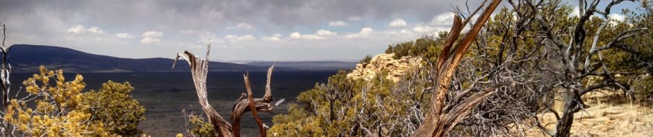
One of our early hikes, checking out trails around Grants, NM. This summary is posted from memory; it took place before I began this Hiking BLOG. This was such a nice hike with friend Vince. I think my memory will bring back some particulars.
Statistics
Total Distance: 7.65 miles
Elevation: start 7,078 ft, maximum 7,437 ft, minimum 7,078 ft
Gross gain: 359 ft. Aggregate ascending 1,975 ft, descending 1,974 ft
Maximum slope: 29% ascending, 30% descending, 7.4% average
Duration: 5:24
| GPS Track Files for Download | |
288 Downloads | |
|---|---|
166 Downloads | |
I urge you to explore our hiking tracks with Google Earth. With the virtual 3-dimensional presentation, achieved by panning and tilting the view, you can get a much better idea of the hikes and terrain than you can get from the 2-dimensional screenshot above. For assistance: Using Google Earth Track Files.
References
BLM: Narrows Rim (pdf)
ExploreNM: Narrows Rim Trail
New Mexico Meanders: 2017-07-02 The Narrows Rim Trail
AllTrails: Narrows Rim Trail
Only in Your State:
The Best New Mexico Hike You’ve Never Heard Of But Need To Take
Stav is Lost: Hike Narrows Rim Trail


