Posting this in March 2019.
This hike begins at the Tunnel Springs Trailhead, then up the North Crest Trail (#130) and down the Ojo del Orno Trail (#130B).
The Hike
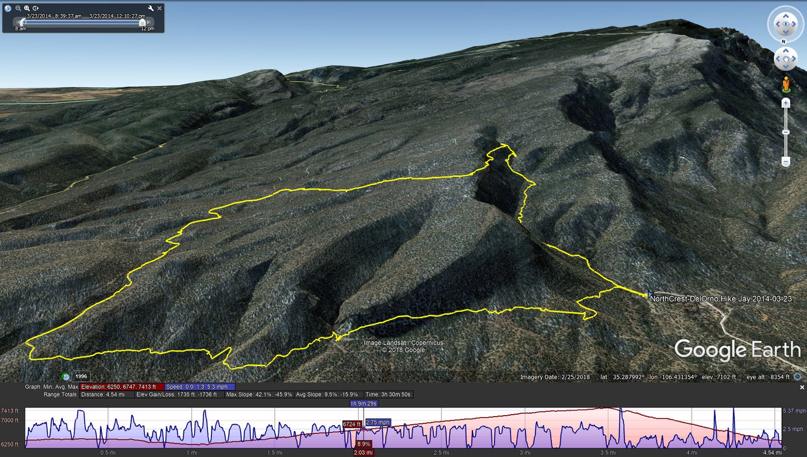
NorthCrest-DelOrno Hike.Jay.2014-03-23
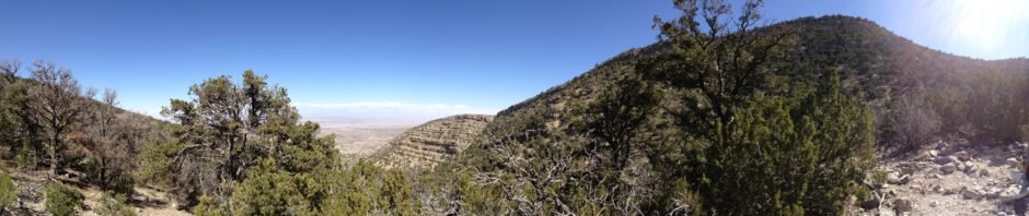
I remember this as a challenging hike, with elevation gain, distance, and some difficult terrain, particularly the descent down Ojo del Orno Canyon. And there was one section, descending into the Canyon where the trail was narrow with -very- steep slopes above and below. We paused for our mid-hike coffee break just prior beginning the descent; then navigated the narrow section, maybe some 150 yards. From there to the head of the canyon the trail continued to be on a steep slope.
Statistics
Total Distance: 4.54 miles
Elevation: start 6,382 ft, maximum 7,413 ft, minimum 6,250 ft
Gross gain: 1,163 ft. Aggregate ascending 1,735 ft, descending 1,736 ft
Maximum slope: 42% ascending, 46% descending, 9.5% average
Duration: 3:31
| GPS Track Files for Download | |
210 Downloads | |
|---|---|
212 Downloads | |
I urge you to explore our hiking tracks with Google Earth. With the virtual 3-dimensional presentation, achieved by panning and tilting the view, you can get a much better idea of the hikes and terrain than you can get from the 2-dimensional screenshot above. For assistance: Using Google Earth Track Files.
References
USDA Forest Service:
Sandia Mountain Trails (pdf)
Tunnel Spring Trailhead & North Crest Trail 130
ASCHG:
Sandia Crest Trail North Hike
Del Orno – N Crest – Agua Sarca Loop Hike
Get Outside, Albuquerque: Huffing And Puffing Up The Ojo Del Orno Route
Sandia Mountain Hiking Guide: “… Ojo del Orno Trail …” (exerpt)
AllTrails:
North Crest and Del Orno Loop
North Crest Trail
Backpacker: Albuquerque, NM: North Crest Trail to Ojo del Orno Canyon


