I’d found a hike at ASCHG that visited some Pueblo Ruins above Paliza Canyon and included a visit to Goblin Colony. Jay and I had visited the Colony in July a year ago, and Pat and I had recently hiked up Paliza Canyon to the Colony, so this was a revisit for both of us.
The Hike

Google Earth track of our hike to Paliza Canyon, with visits to Pueblo Ruins and the Goblin Colony, 9/11/2016.
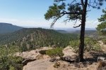
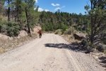
The first 1.3 miles is mostly open, along a tw0-track that leads to a few strip mines in the area (we don’t know what mineral they were mining). Crossing one of the larger areas of disturbed earth, we ascended to the mesa on the east of Paliza Canyon, atop of which were the reported ruins (see the blue waypoints in the GoogleEarth snapshot above). At some point, we started to feel familiarity with the area, and soon realized we had visited the south end of the Mesa on our earlier visit to Goblin Colony.
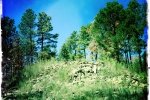
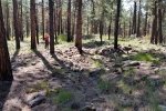
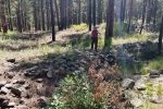
Atop this mesa, we followed a two-track northward towards Ruins 1, and found it easily. On entering the area, we found two depressions that are typical of a Kiva in ruins like this. This is a large ruins: about 200′ in length, 60′ in width, and at the north end the rubble pile was maybe 15 feet tall. This must have been a large pueblo with multiple stories to have left such a large pile of rubble.
 We continued on along the two-track, and looking left and right found other ruins (marked Ruins A and B, plus what would appear to be a one-room blockhouse marked with waypoint 003. Although we thought our Ruins B were the ASCHG Ruins 2, when I plotted our track and waypoints on GoogleEarth, it came to light that we did not visit Ruins 2.
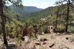
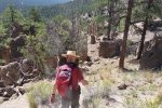
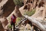
 Walking a bit further north we came upon a well-maintained Forest Road, so followed it back towards Goblin Colony. Using the track I had on the GPS, tho’ Jay was doubtful, I left the road and to our great surprise we were looking down upon Goblin Colony from a vantage point on earlier visits we didn’t think we could get to. The descent through the Goblins was truly amazing, a differend and interesting view as we passed through these hoodos – the many tens of Goblins.

 Descending through the Colony, we sought out the same spot where we had our mid-hike coffee a year ago. then the hike back to the Tacoma was uneventful; the hike was another truly great one.
Statistics
Total Distance: 5.95 miles
Elevation: 6,838 start, 7,748 maximum, 6,838 minimum
Gross gain: 810 ft. Aggregate ascending 1,296 ft, descending: 1,296 ft
Maximum slope: 31% ascending, 38% descending, 7% average
Duration: 4:11
| GPS Track Files for Download | |
296 Downloads |
|
|---|---|
209 Downloads |
|
I urge you to explore our hiking tracks with Google Earth. With the virtual 3-dimensional presentation, achieved by panning and tilting the view, you can get a much better idea of the hikes and terrain than you can get from the 2-dimensional screenshot above. For assistance: Using Google Earth Track Files.



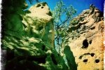
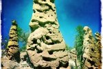
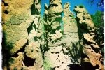
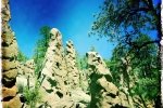
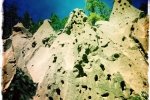
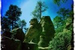

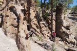
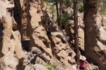
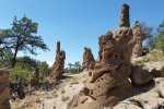
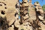
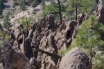
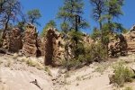
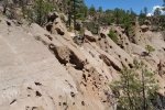

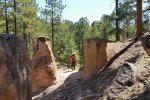
If you want to just visit the Goblin Colony there is a dirt road that passes right by it. Park beside the road, climb a very low rise, and there they are. From there you can hike down through the goblins and be totally amazed at how cool they are. There are also several other areas along the dirt road where a short walk will take one to other formations that look like giant termite mounds. Of course, they are made of highly weathered volcanic tuff just like the other goblins, but look much different.