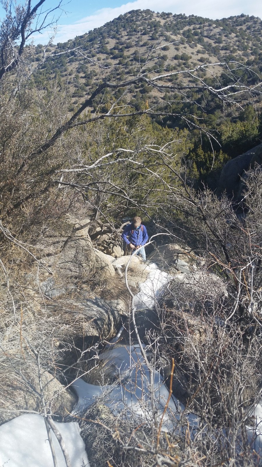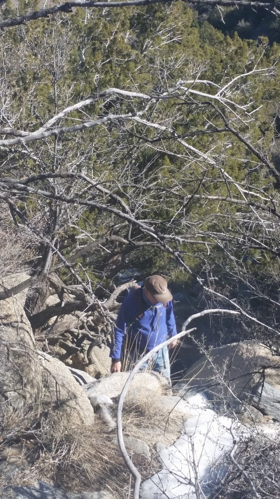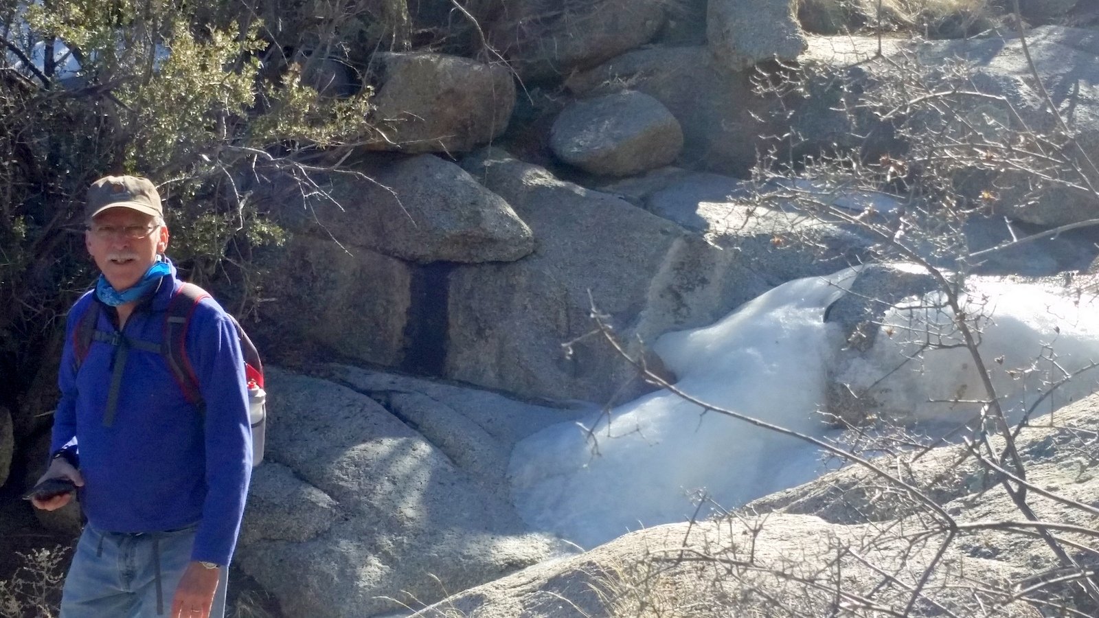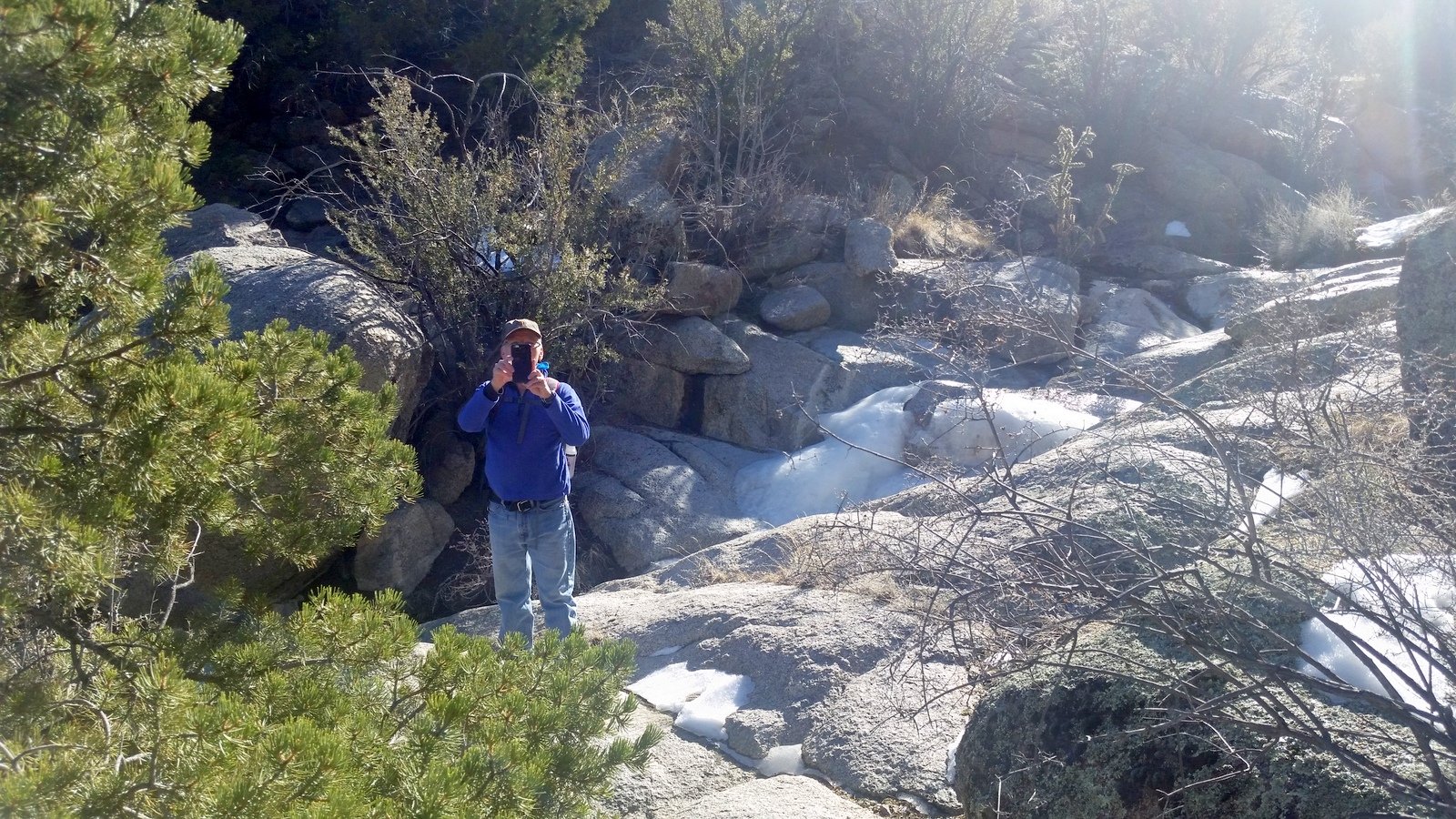
The snow had gone, but there was still ice down in the shady sections of the canyon. ‘Twas a good hike, nice cool temperature.
The Hike
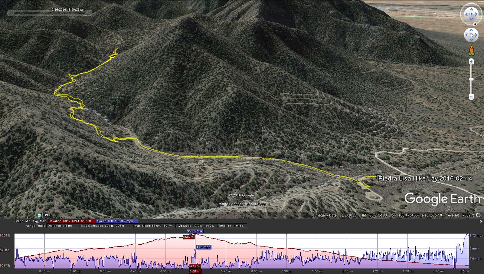
Piedra Lisa Hike.Jay.2016-02-14
Statistics
Total Distance: 1.50 miles
Elevation: start 6,017 ft, maximum 6,509 ft, minimum 6,017 ft
Gross gain: 492 ft. Aggregate ascending 604 ft, descending 706 ft
Maximum slope: 57% ascending, 51% descending, 14% average
Duration: 1:11
| GPS Track Files for Download | |
327 Downloads | |
|---|---|
153 Downloads | |
If you haven’t explored these hiking tracks with Google Earth, I urge you to try it. With the virtual 3-dimensional presentation, achieved by panning and tilting the view, you can get a much better idea of the hikes and terrain than you can get from the screenshot above. For some ideas, check out Using Google Earth Track Files.