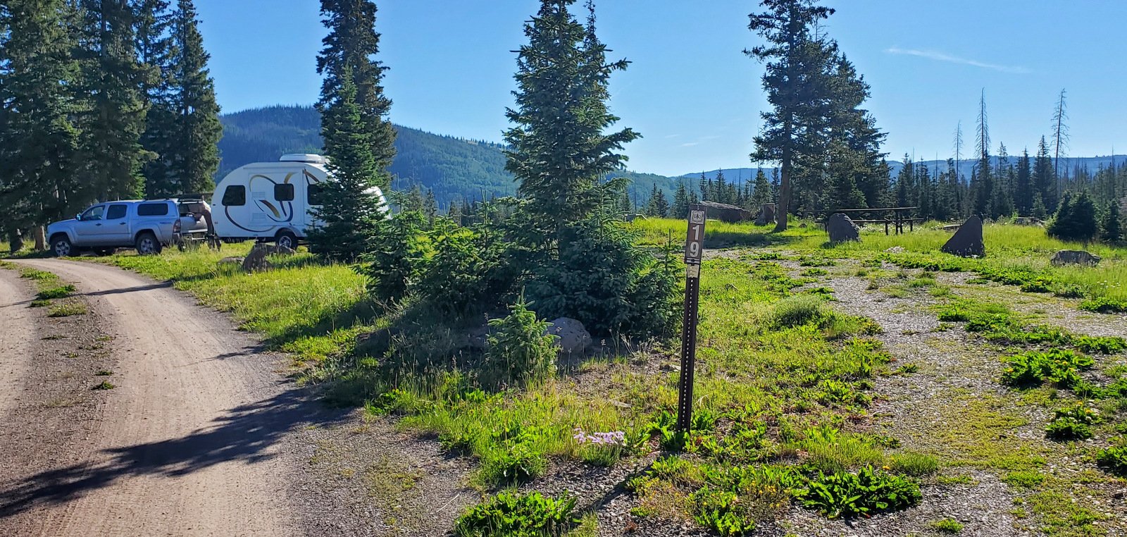
Our 2nd hike on a 3-night camping trip into northern New Mexico (actually just across the state line into Colorado). We set up the R-Pod in the USFS Trujillo Meadows campground. Reservations are not offered, but there are 41 campsites so we anticipated that we would get one. And we did – there were only a few (<10) campers in the campground on our arrival and the host told us that the campground is not heavily used. After touring the maze of roads looking for the best site, we chose one near the entrance and on the highest point in the campground. The view from there was the best.
The Drive In
We drove from Albuquerque to Chama and continued on NM 17 up to the crest of Cumbres Pass (the highway becomes CO 17 as it passes into Colorado). For a good part of the way, Hwy 17 follows the tracks of the Denver and Rio Grande Railroad, aka Cumbres and Toltec Railroad to the crest where there is a small railyard.
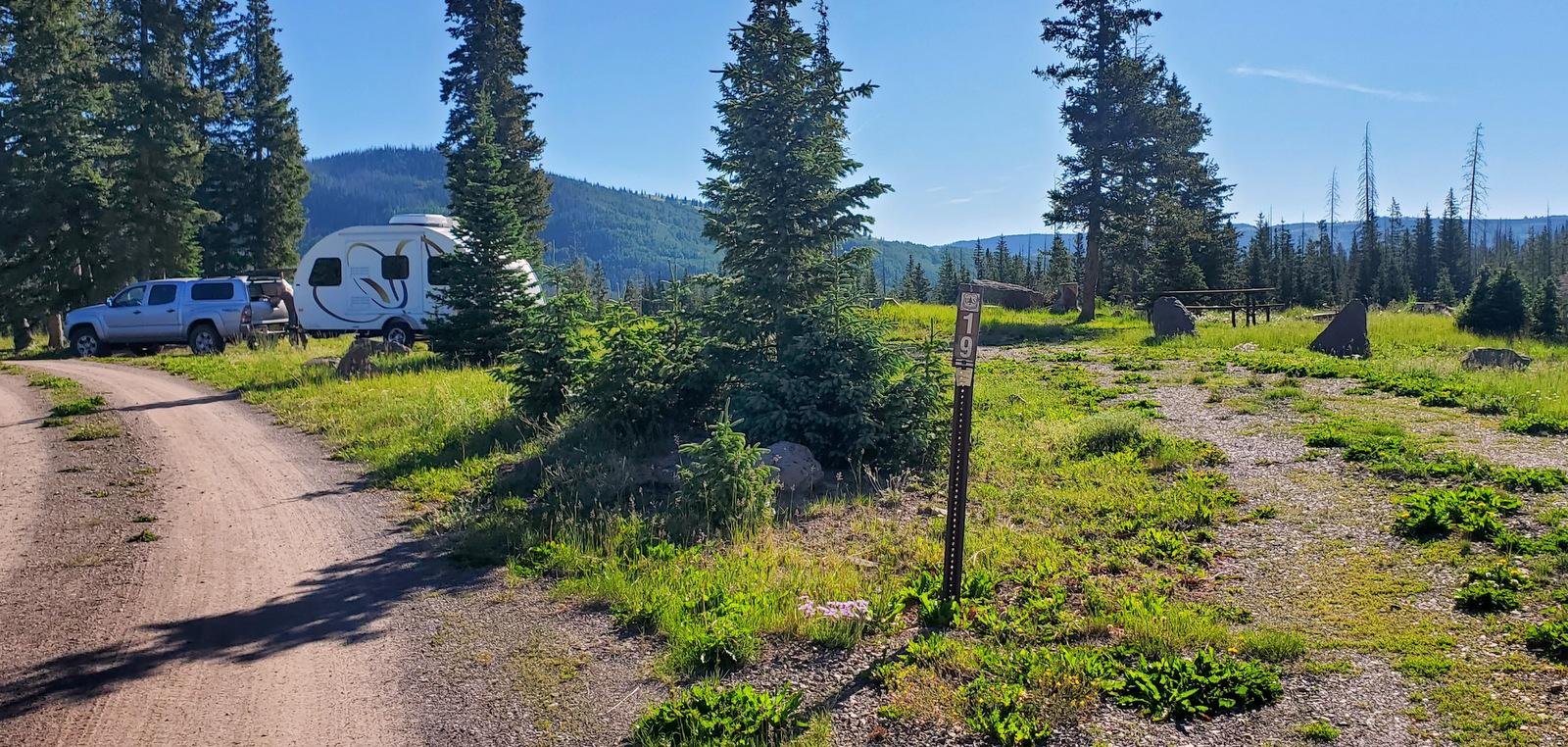
Our campsite in Trujillo Meadows Campground. Atop a hill in the middle of the campground, we had great views in all directions.
Continuing past the crest for 1/4 mile, we turned left onto FR 118 (a good Class 3 road, tho’ there are some sections of serious washboard); in 2.5 miles turn right at the entrance to the campground. (Adjacent to the campground is Trujillo Meadows Reservoir. There are some sites that look down upon the reservoir and there is a road from the campground entrance to a boating ramp; we did not investigate either.)
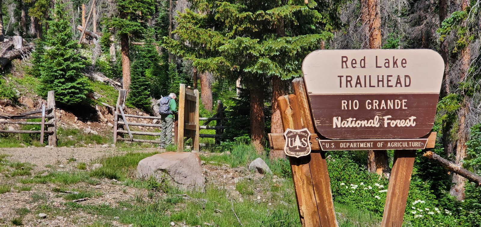
The Red Lake trail is a bit further north on CO 17 — 6.4 miles from the turnoff to the Trujillo Meadows Campground. Turn left onto FR 113, a Class 3 road towards Red Lake — 3.5 miles. The road makes a sharp 180° turn to the left — parking is on the right up a short rise.
The Hike
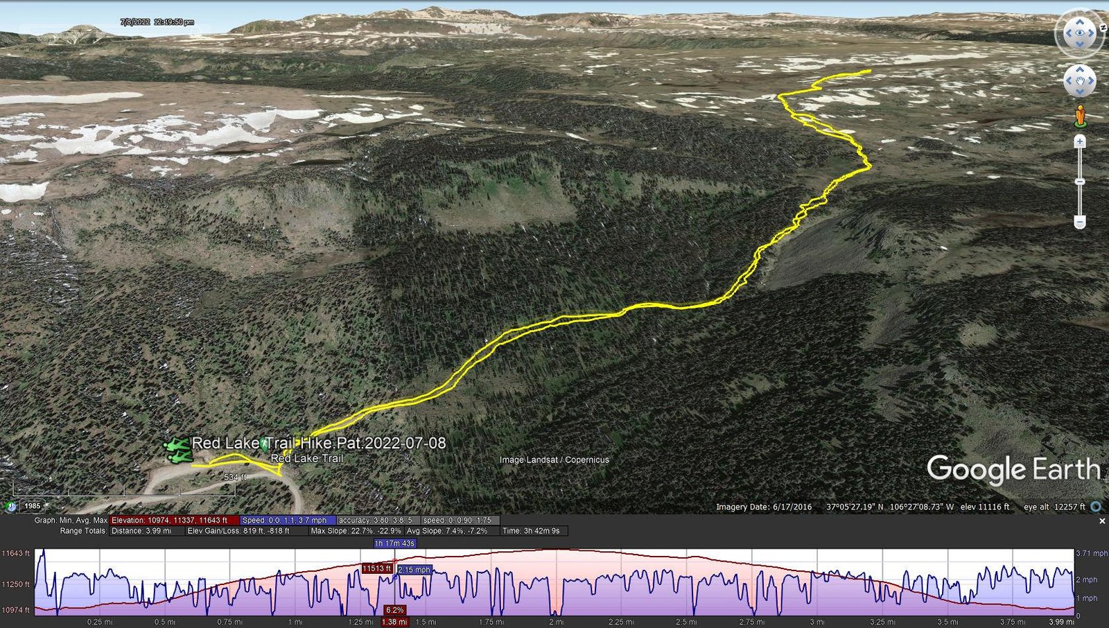
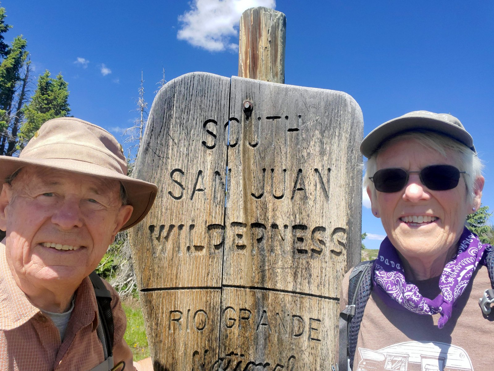
Red Lake Trail Hike.Pat.2022-07-08
Notes about the Google Earth screenshot: the graph at the bottom shows elevation of the track (pink area) and speed (the blue line).
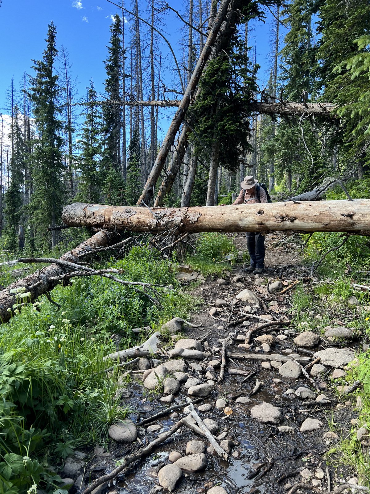
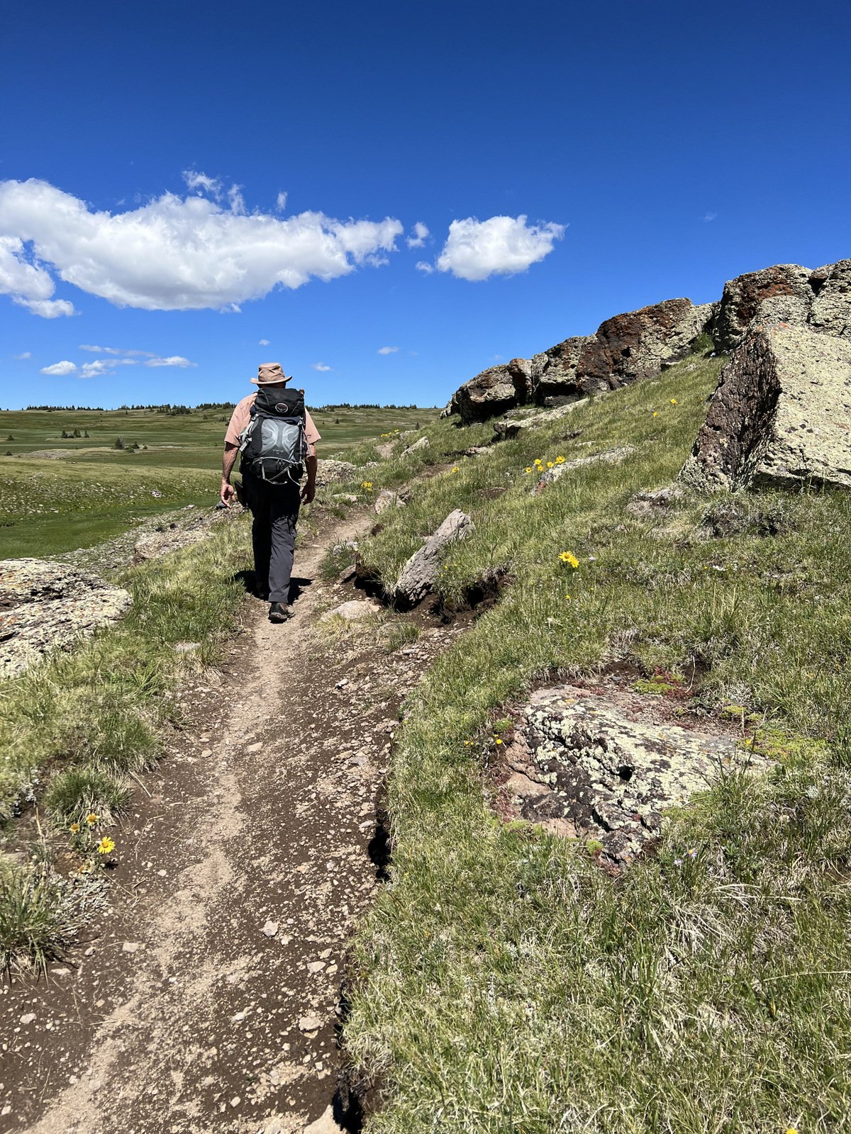
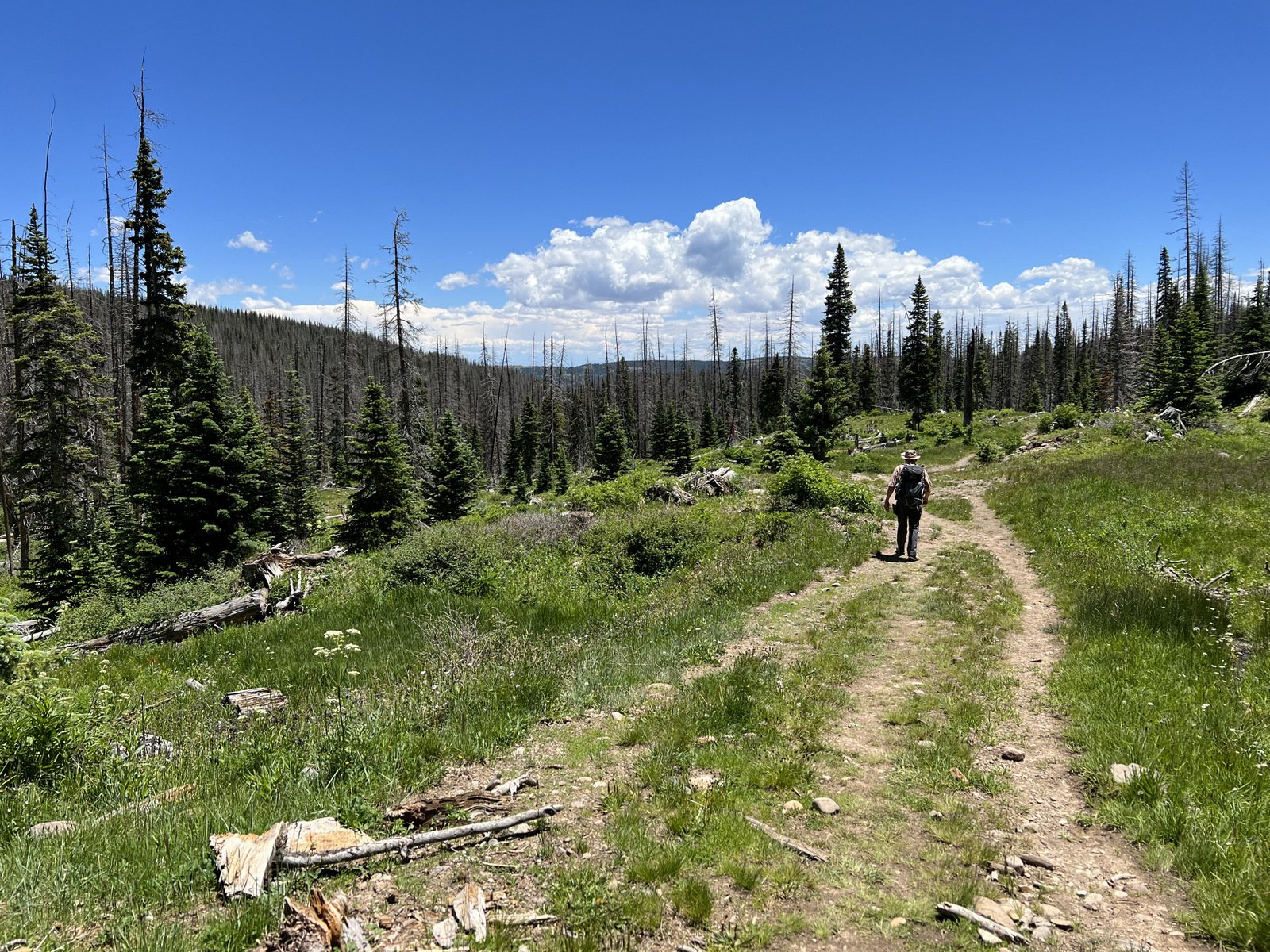
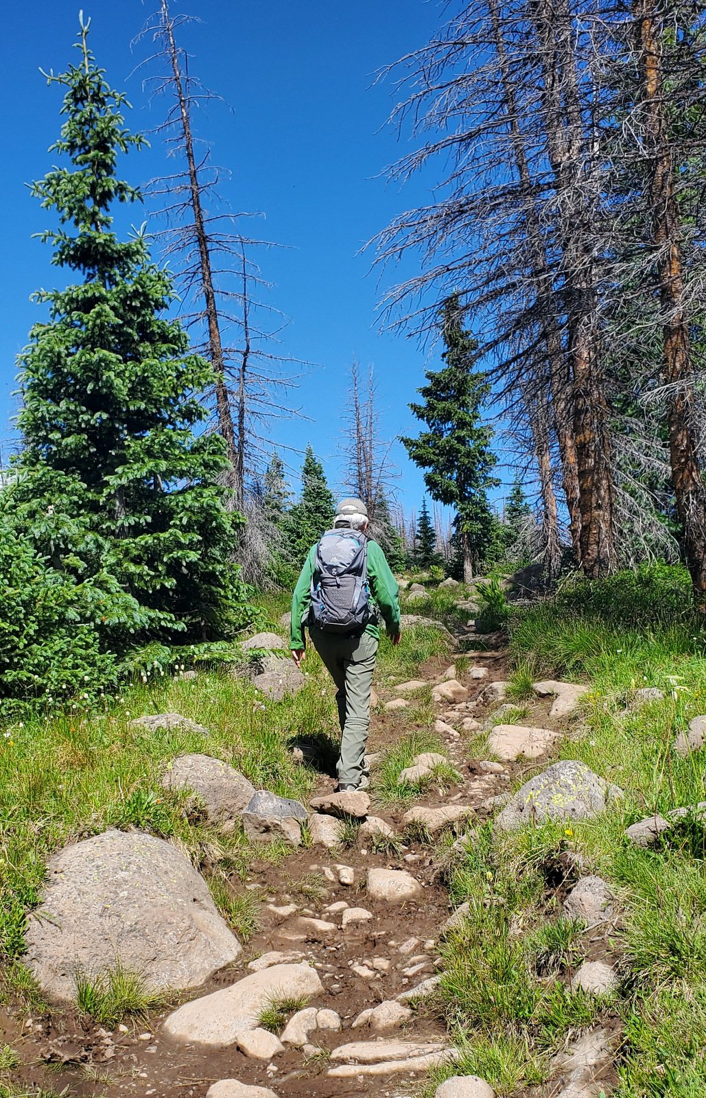
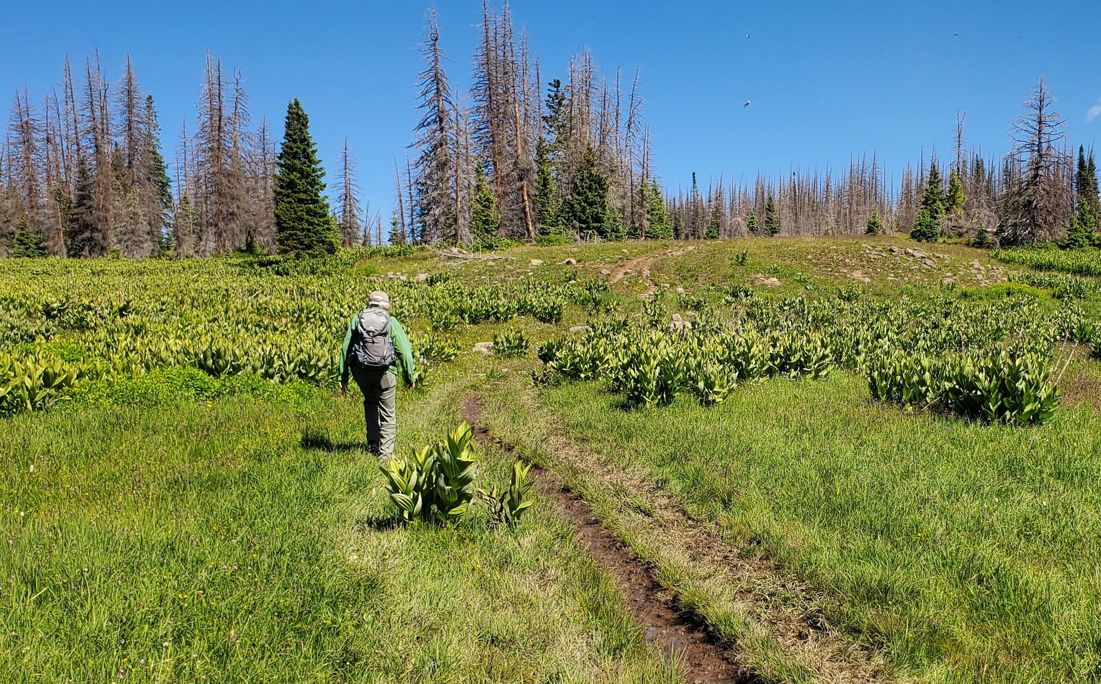
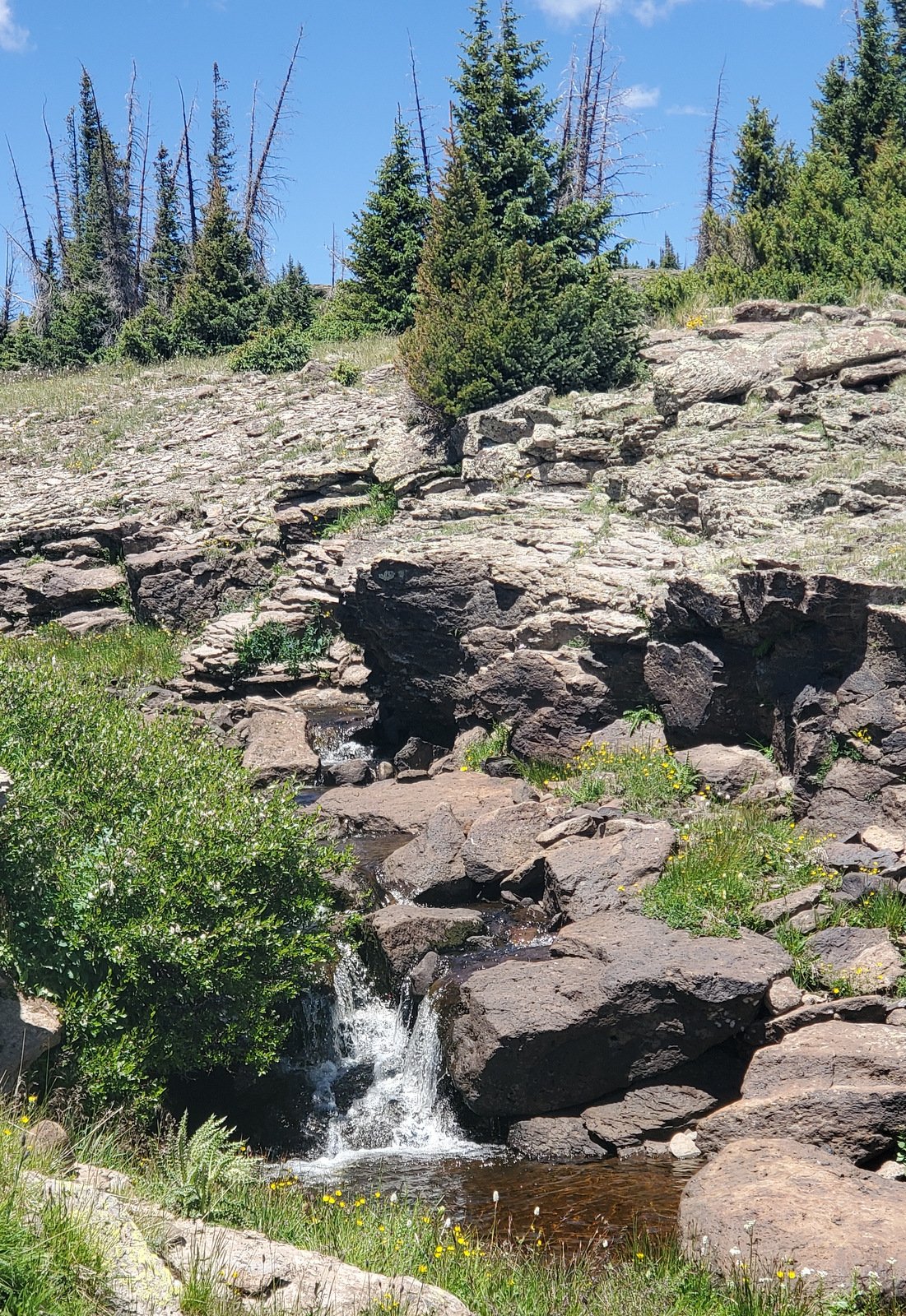
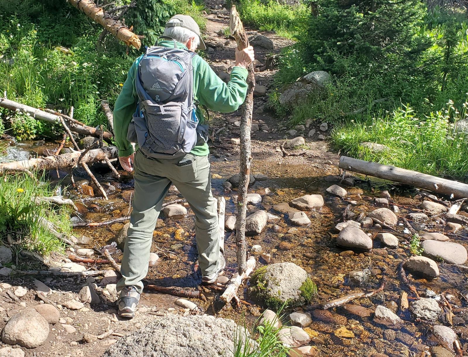 The trail starts at an elevation of 11,000 feet – yes, the temperature was comfortably cool. It proceeds for 1/4 mile with not much elevation gain, through nice forest. About a half mile on we encountered our first stream crossing, easy with rocks for stepping stones. Here the trail takes on a bit more elevation gain, and we encountered more flowing water, even down the trail itself.
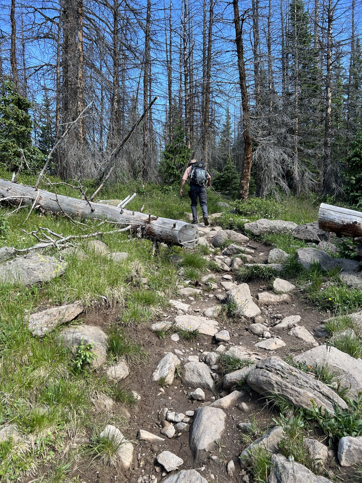
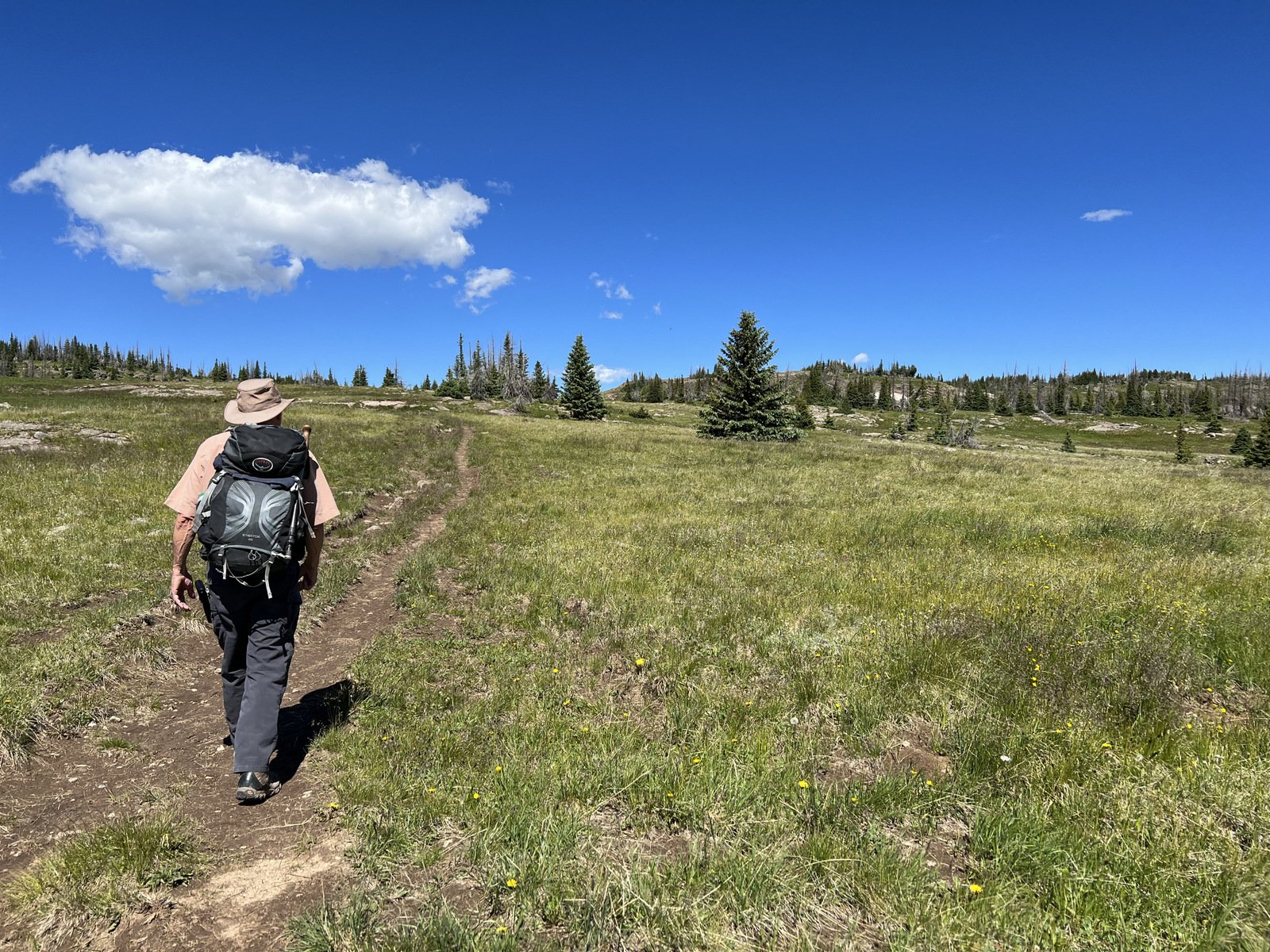
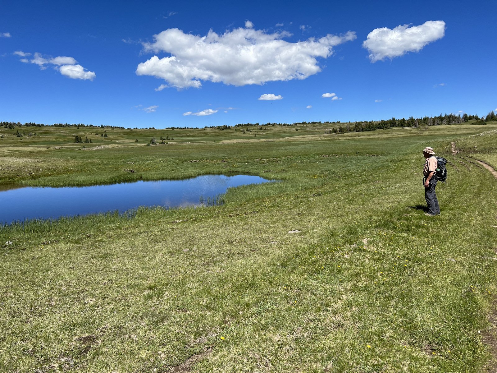
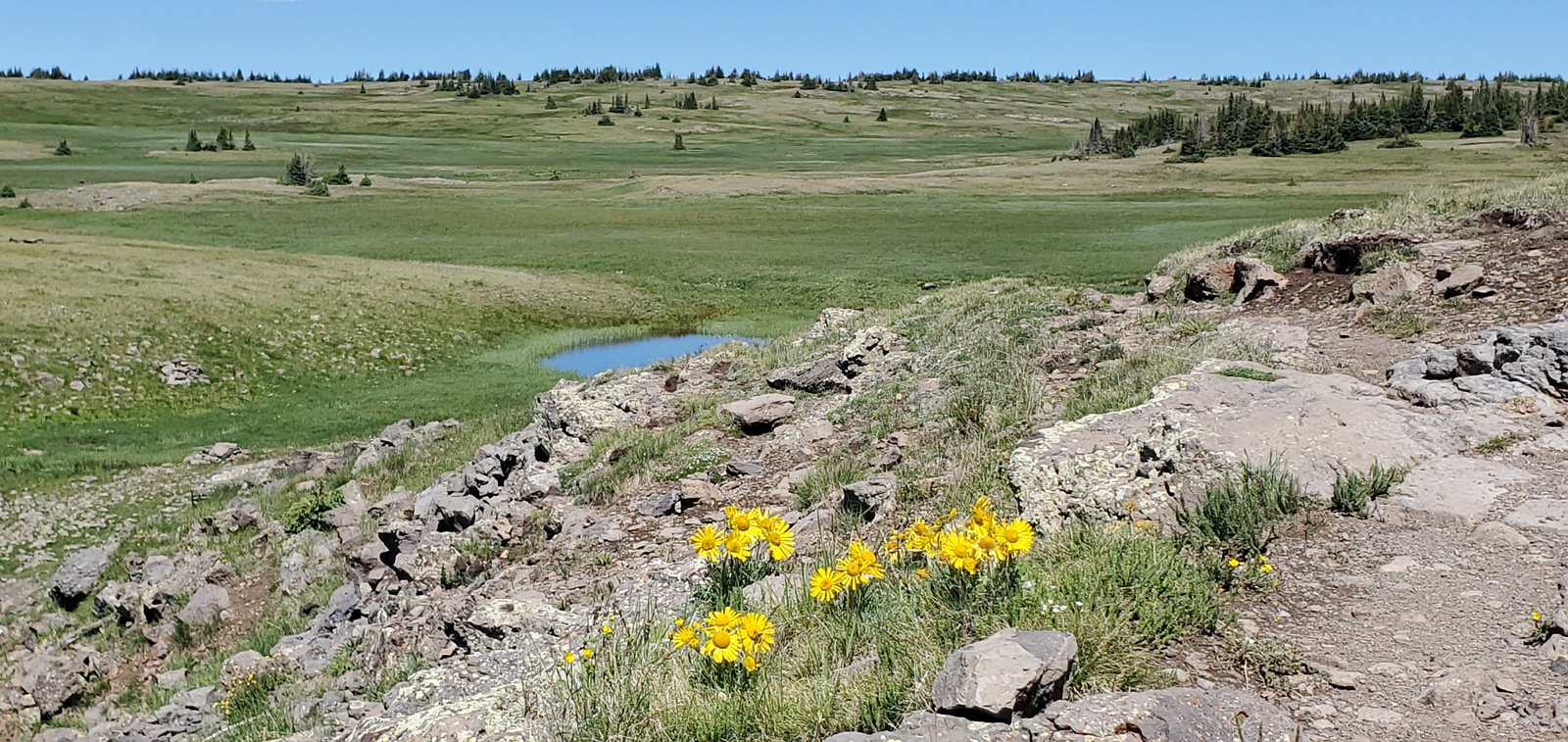
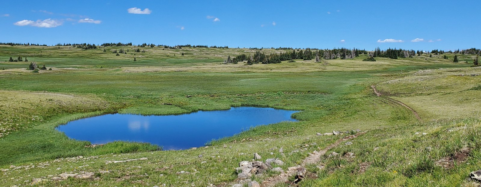
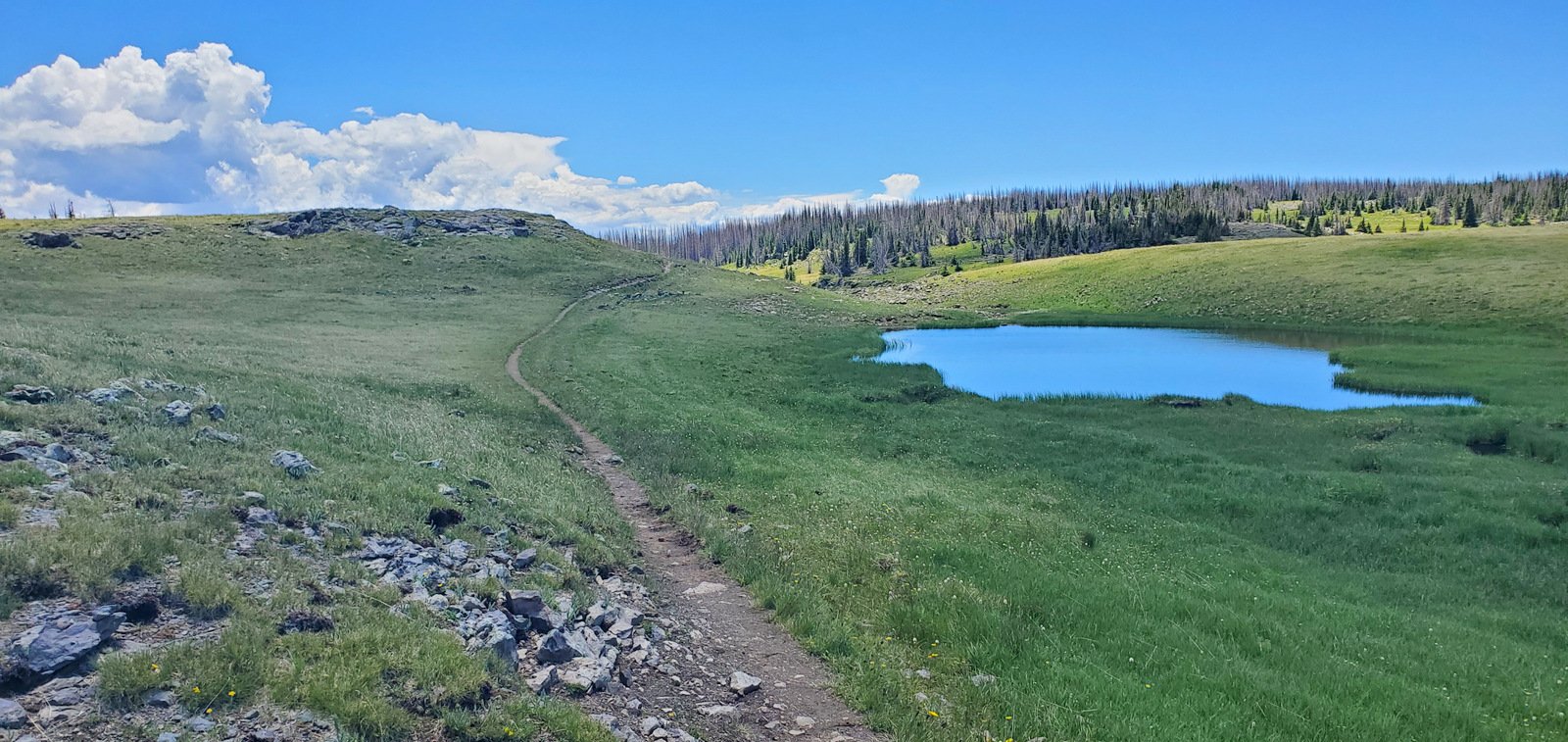
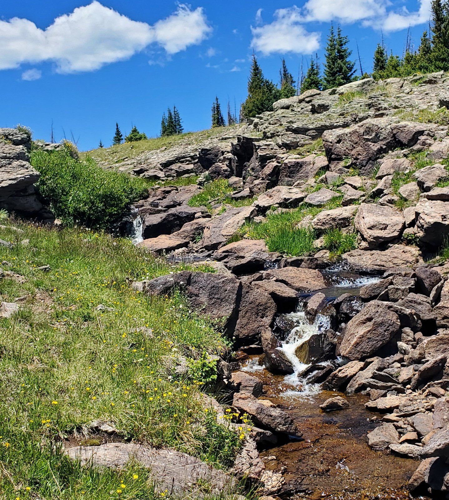
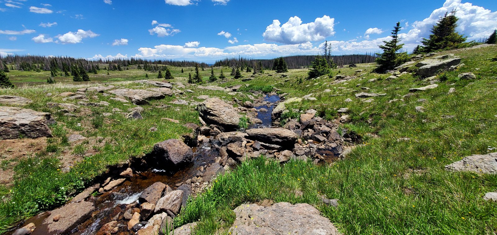
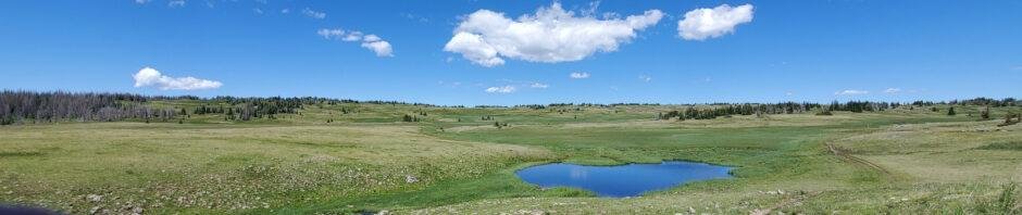
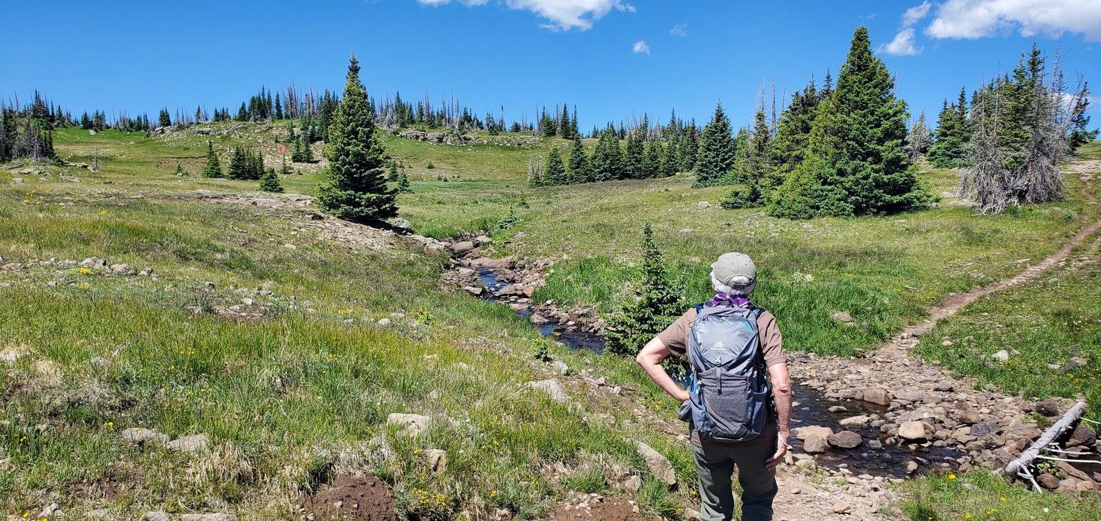 A bit further on (3/4 mile point) the trail begins to leave the forest behind, and at about the 1 mile point, the trail enters a wide open lush meadow with another small stream crossing. The trail continues it’s gentle climb and the meadow continues to open up ahead and around us with a few ponds off to the west.
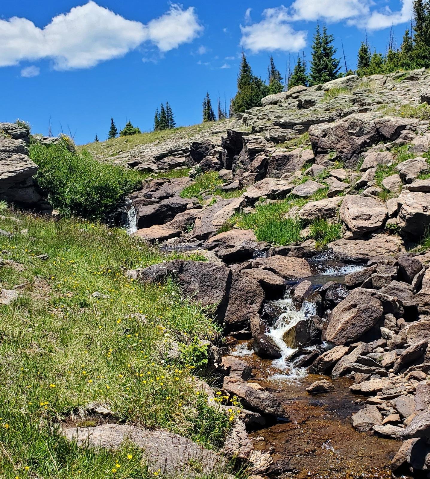
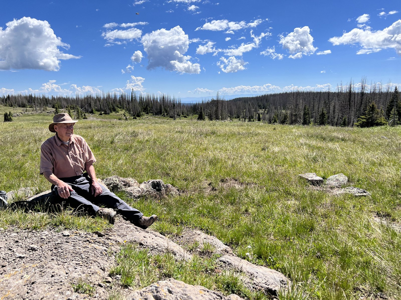
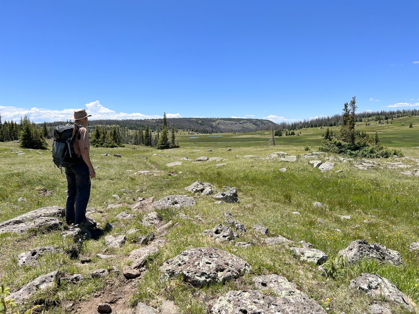
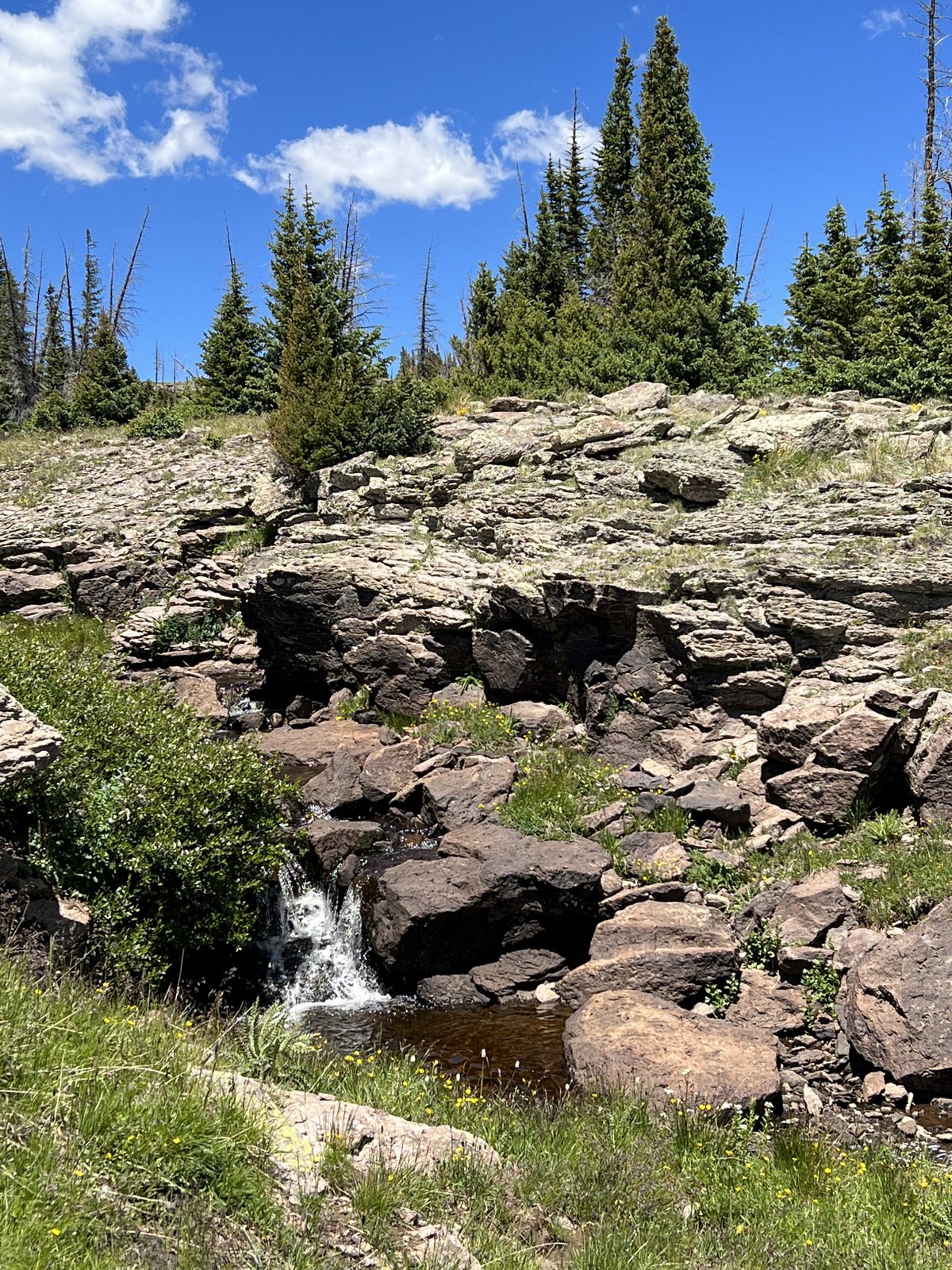
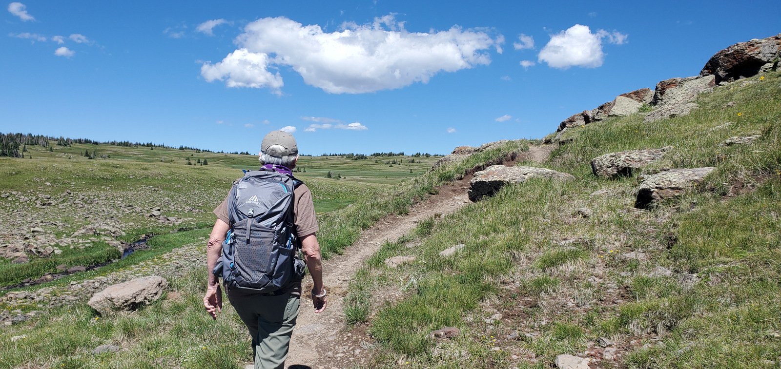
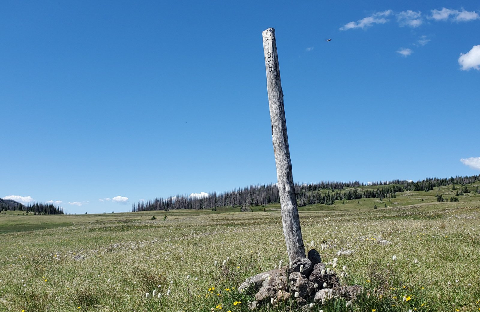
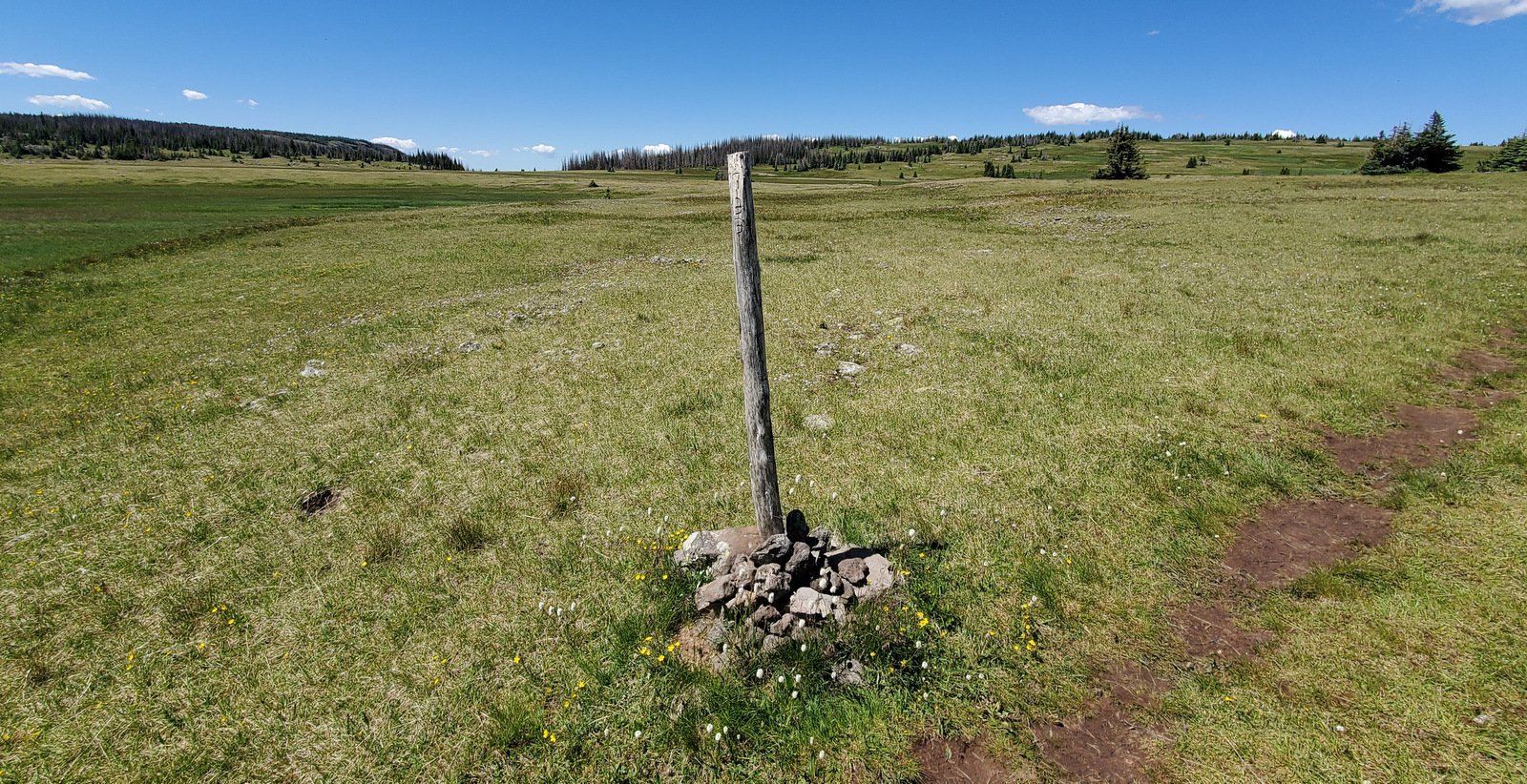
We continue up to the top of the rise and decide we’ve come far enough so we find some rocks to use for dining. On our return trip, we heard running water. Taking a short detour from the trail we found a rocky slop with a series of small waterfalls, a nice scene to take with us as we return to the trailhead.
Highlight
The amount of water flowing across the meadow and down the streams was striking. It was such a contrast to what we encounter on trails in New Mexico. And the vista view across the meadows, with the lakes and smattering of forest made for -great- scenery. We’ll add this trail to our list for future hikes, with the goal of continuing on to Red Lake itself.
Statistics
Total Distance: 3.99 miles
Elevation: start 11,003 ft, maximum 11,643 ft, minimum 10,974 ft
Gross gain: 669 ft. Aggregate ascending 819 ft, descending 818 ft
Maximum slope: 23% ascending, 23% descending, 7.3% average
Duration: 3:42
| GPS Track Files for Download | |
175 Downloads | |
|---|---|
236 Downloads | |
259 Downloads | |
181 Downloads | |
If you haven’t explored these hiking tracks with Google Earth, I urge you to try it. With the virtual 3-dimensional presentation, achieved by panning and tilting the view, you can get a much better idea of the hikes and terrain than you can get from the screenshot above. For some ideas, check out Using Google Earth Track Files.
Related Posts
References and Resources
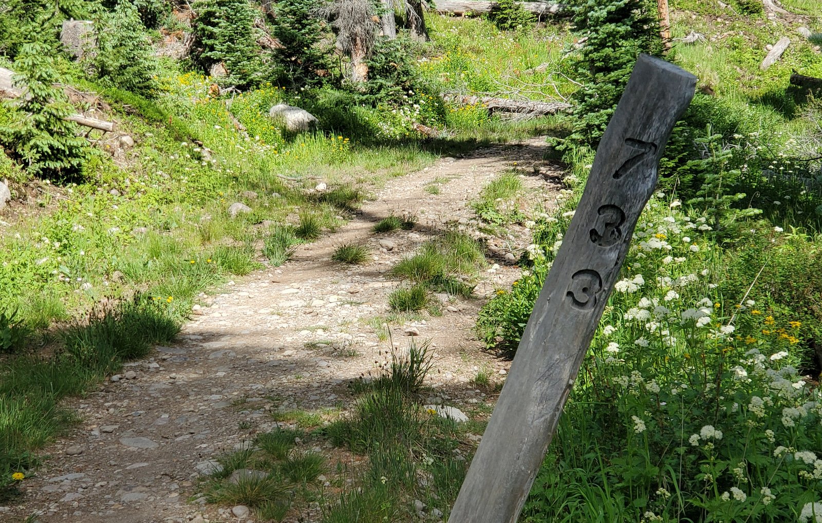
USDA Forest Service: Red Lake Trailhead, Trail 733
AllTrails: Red Lake Trail
Alamosa.org: 5 Trails You Need To Be On
Oh Ranger.com: Rio Grande National Forest, Red Lake Trail