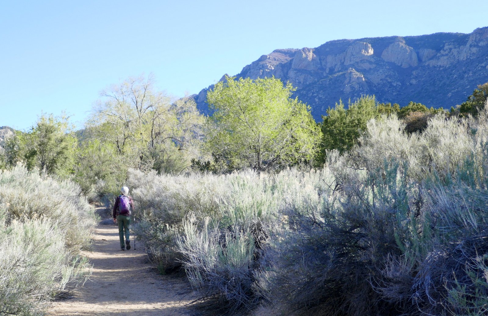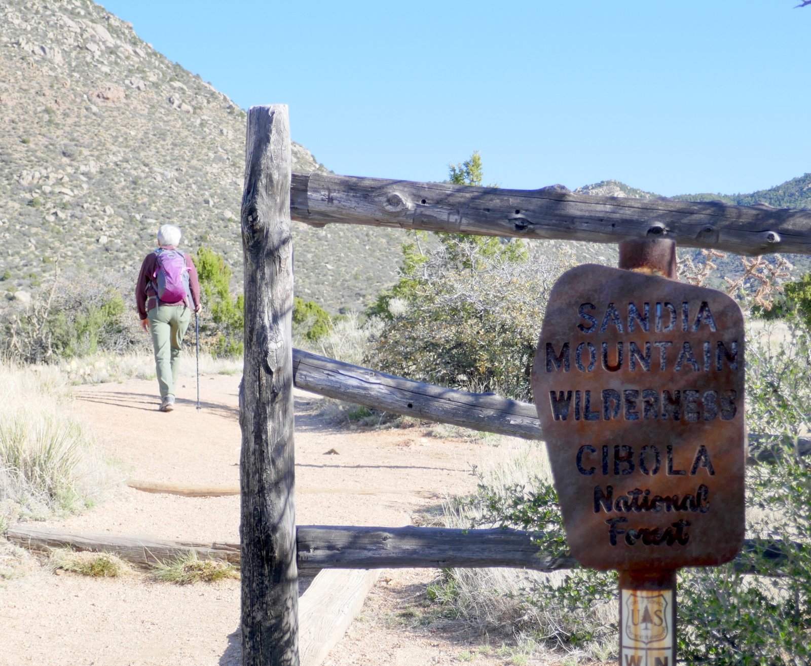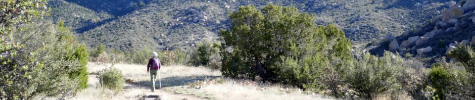
Today we returned to an old friend, Three Gun Springs trail. This trail was our 3rd hike after moving to New Mexico back in 2010. And we hiked it twice more in 2011, and more recently in 2017 and 2019 (see References below for a link to this set of hikes). This was first time for Pat and me to go to the top where Three Gun Springs meets the Embudo Trail that comes up on the western slope of the Sandias. And we have a goal for this year, to hike end-to-end, up one trail and down the other.
The Hike
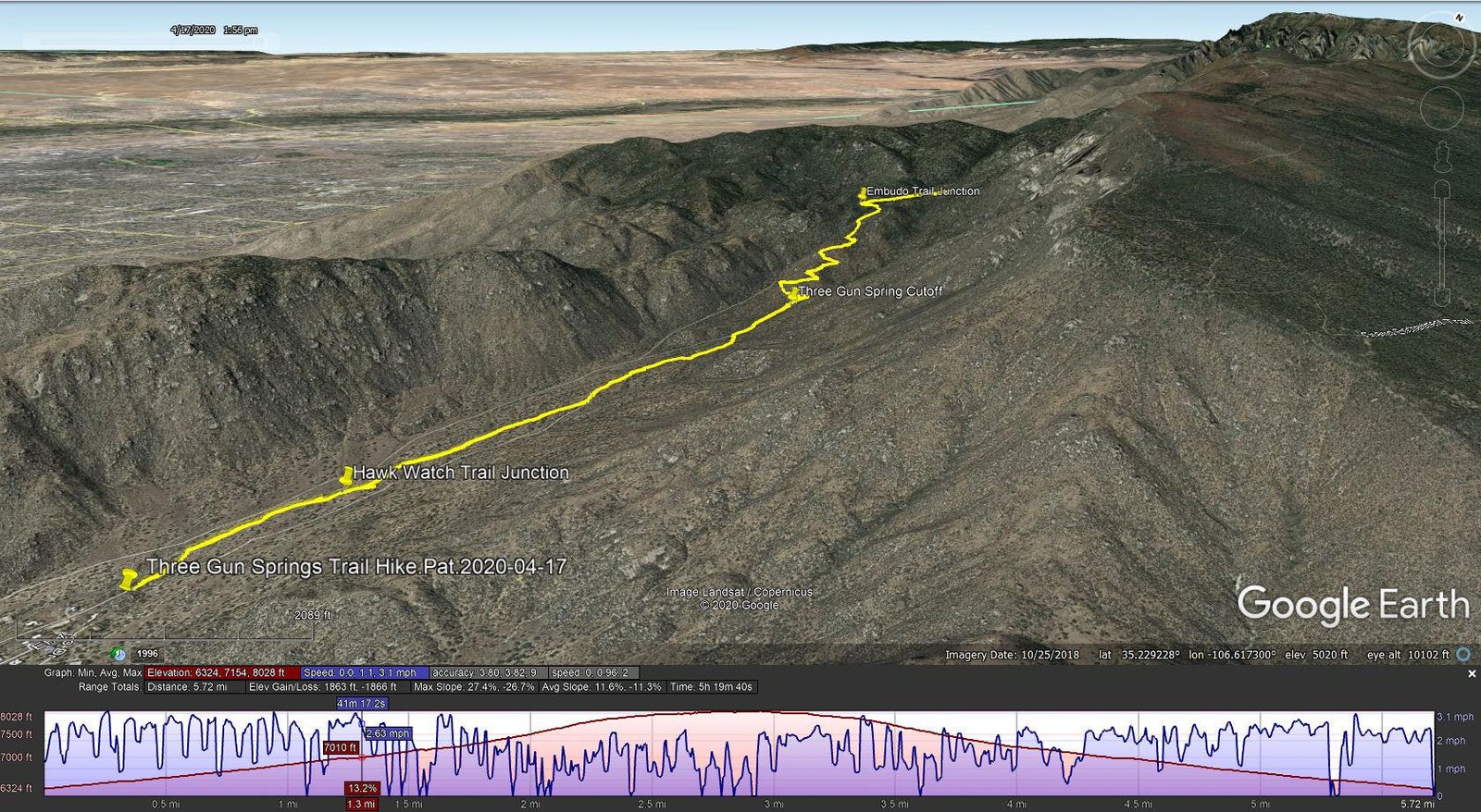
Three Gun Springs Trail Hike.Pat.2020-04-17
The Post from 2019 describes the hike well. This year I might add: as is the case for most of the trails in the Sandias, they get right to it. Leaving the parking area the trail starts up-hill, a 15% grade. And that rate of ascent continues to the top with sections averaging 25% grade or higher. Since most our hikes so far this year have had little elevation gain, the legs were burning for a good distance.
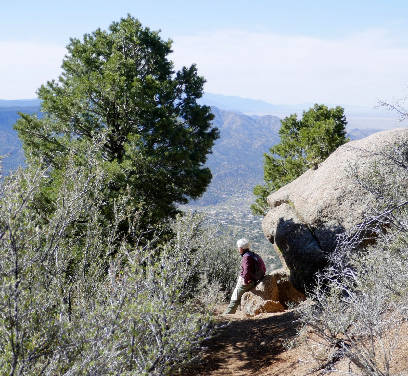
As always, the views of cliffs that form the west side of South Sandia are impressive. As we got higher, we could see south beyond Tijeras Canyon, to the Manzano Mountains and beyond them the Los Piños mountains. Also visible were Tierra Grande, the large, flat plain from the Manzanos to the Rio Grande (and we could make out Meadow Lake). Higher up the Sumport and the southern portions of Albuquerque came into view. And still further, the whole of Albuqueque – the city center, a view directly down Menaul Ave, and to the “..volcanic basalt esc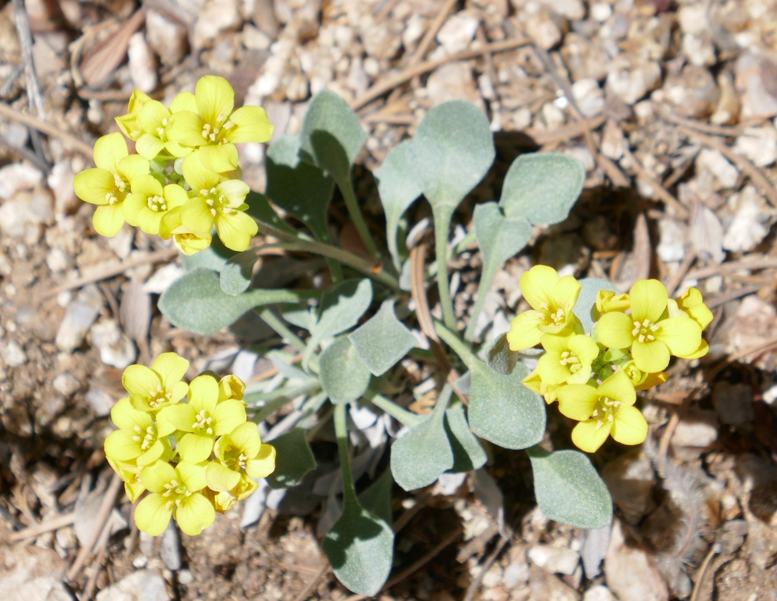 arpment that dominates the city’s western horizon..” of Petroglyphs National Monument.
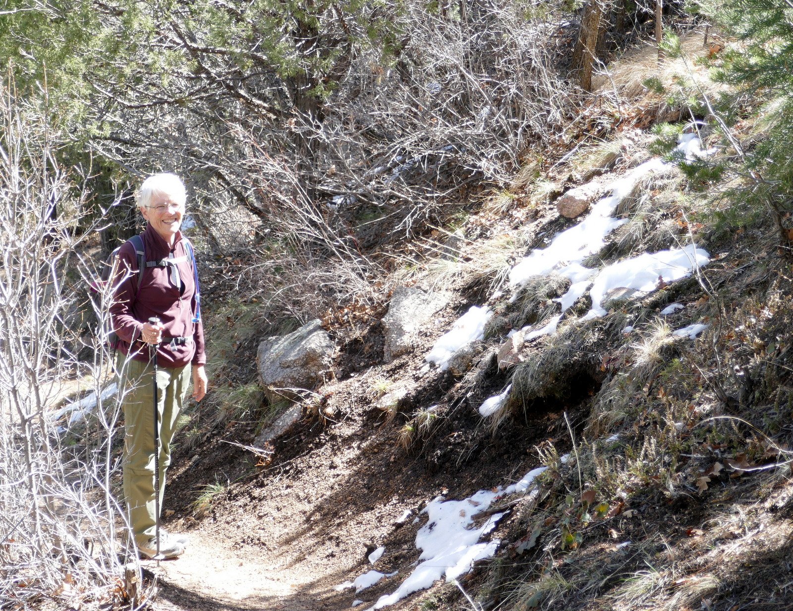
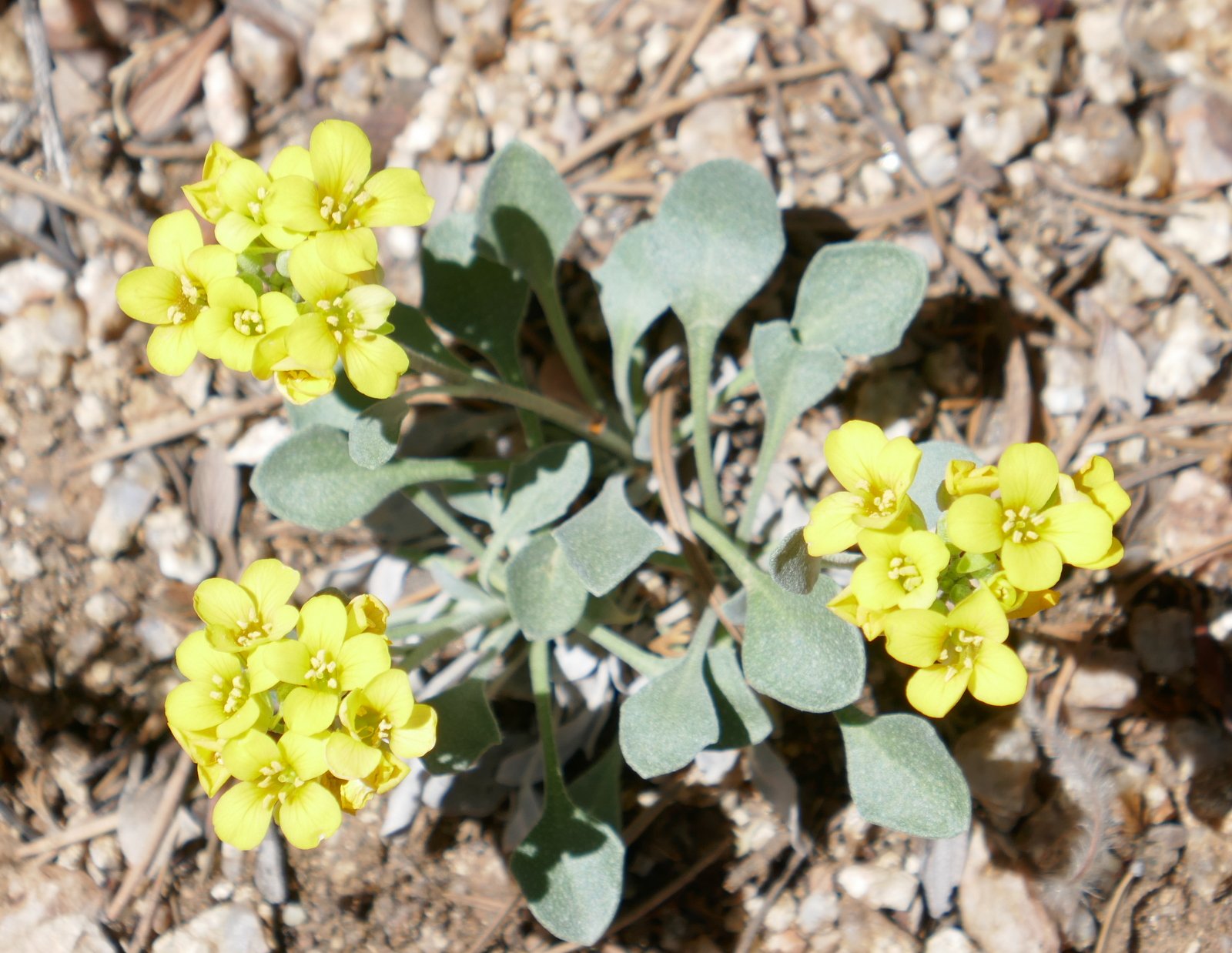
At the top (8,000 feet) the temperature was noticeably cooler, with some snow still present from last week’s storms. This canyon is very dry and hot in the summer, so it doesn’t have the range of flowering plants that we encounter in other places. But, there was one type showing its colors.
Statistics
Total Distance: 5.72 miles
Elevation: start 6,324 ft, maximum 8,028 ft, minimum 6,324 ft
Gross gain: 1,704 ft. Aggregate ascending 1,863 ft, descending 1,866 ft
Maximum slope: 27% ascending, 27% descending, 11.5% average
Duration: 5:20
| GPS Track Files for Download | |
190 Downloads | |
|---|---|
191 Downloads | |
If you haven’t explored these hiking tracks with Google Earth, I urge you to try it. With the virtual 3-dimensional
I urge you to explore our hiking tracks with Google Earth. With the virtual 3-dimensional presentation, achieved by panning and tilting the view, you can get a much better idea of the hikes and terrain than you can get from the 2-dimensional screenshot above. For assistance: Using Google Earth Track Files.
References and Resources
Our other hikes on Three Gun Springs
USDA Forest Service: 3 Gun Trailhaed/ 3 Gun Trl 194/ Hawk watch Trl 215
Sandia Mountain Hiking Guide: Three Gun Spring Trail
AllTrails: Three Guns Spring Trail Loop
Hiking Project: Tres Pistolas (Three Gun Springs) Trail
ExploreNM: Tres Pistolas (Three Gun) Spring to the Embudo Trail
Dog of the Desert: Three Gun Spring Trail in the Sandia Mountains
New Mexico Meanders: 2017-02-25 Soutn Sandia Peak Loop Hike
A Birder’s Album: Tres Pistolas Trail Head in Tijeras Canyon, New Mexico