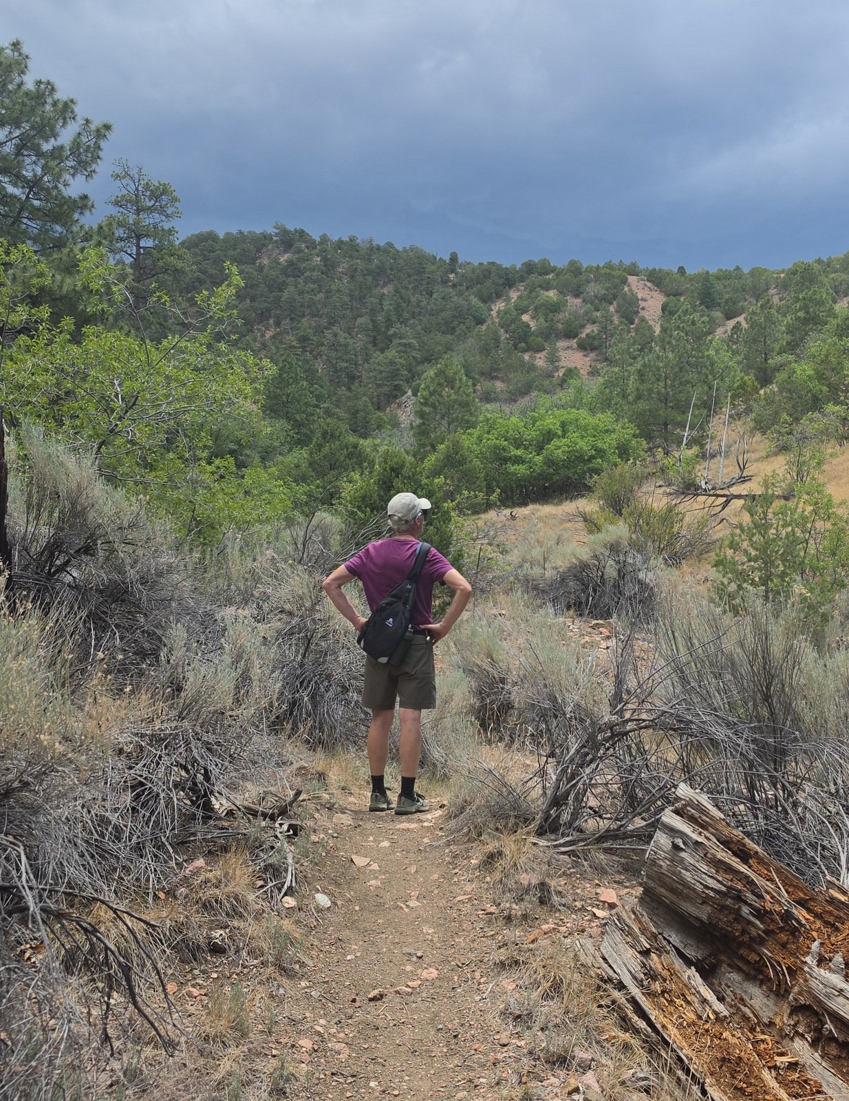
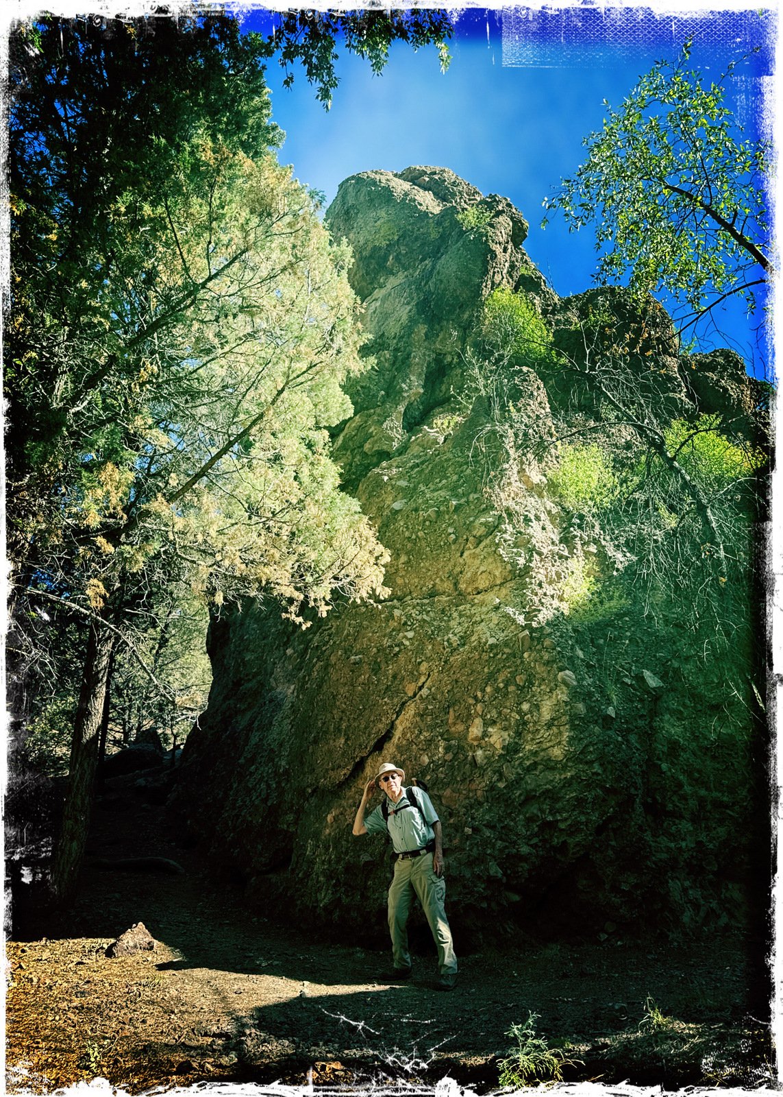
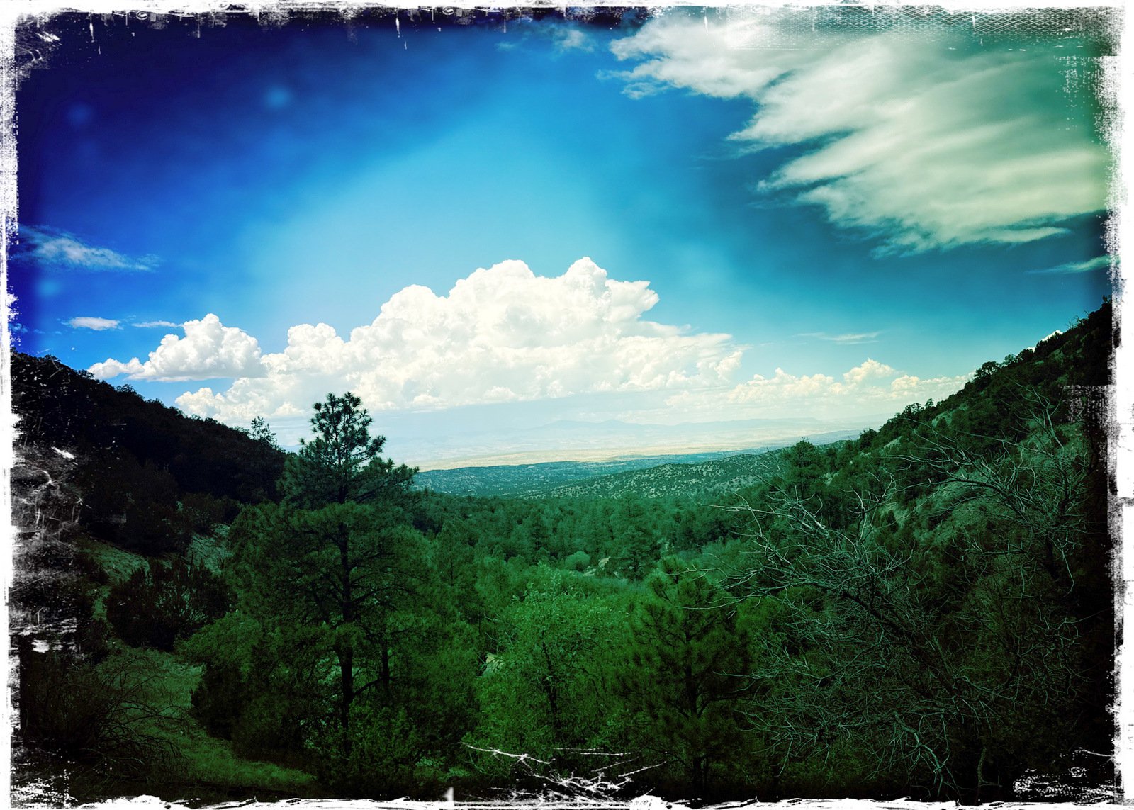
I’m getting into a weekly hike with Jay, these days out of Santa Fe – I can take the train from Albuquerque and meet him at 0900. Then it is not far up Hyde Park Road to some great trails in the Sangre de Cristo mountains. This day, Jay suggested hiking from an inconspicuous trailhead – Little Tesuque Creek Trailhead.
The Drive In
The trail begins just past Nun’s Curve on Hyde Park Road (NM 475), just past the road over Little Tesuque Creek. Parking is “roadside”: park in the expanded shoulders on either side of the road. The trail begins on the north side of the road a bit east of the bridge over Little Tesuque Creek.
The Hike
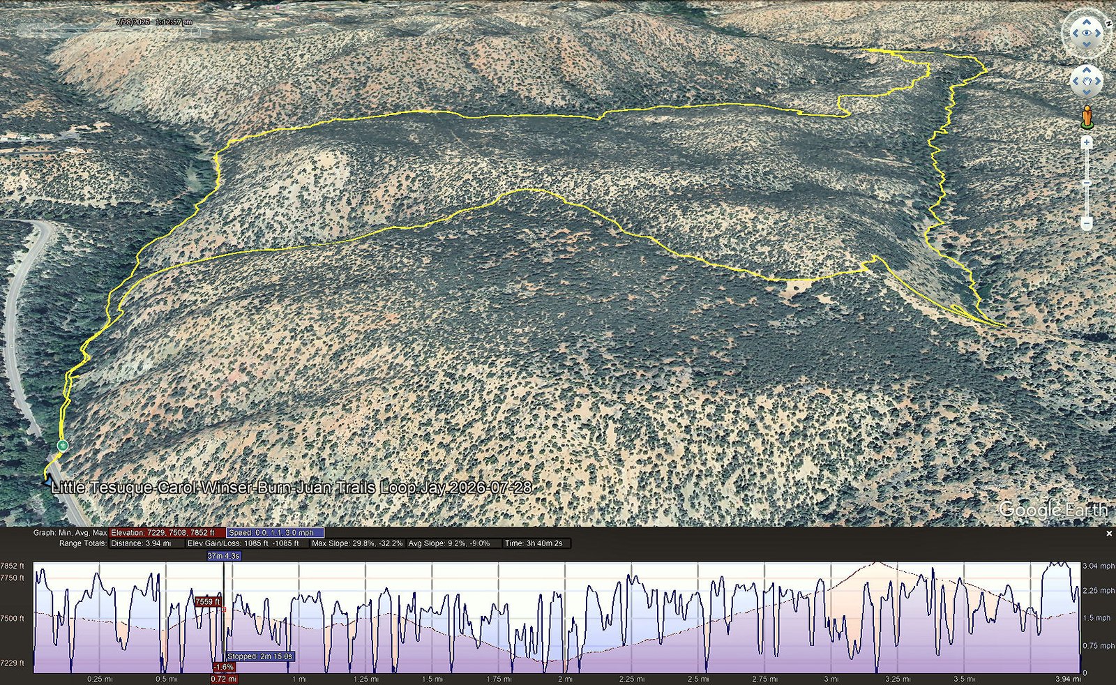
Little Tesuque-Carol-Winser-Burn-Juan Trails Loop Hike.Jay.2026-07-28
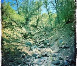
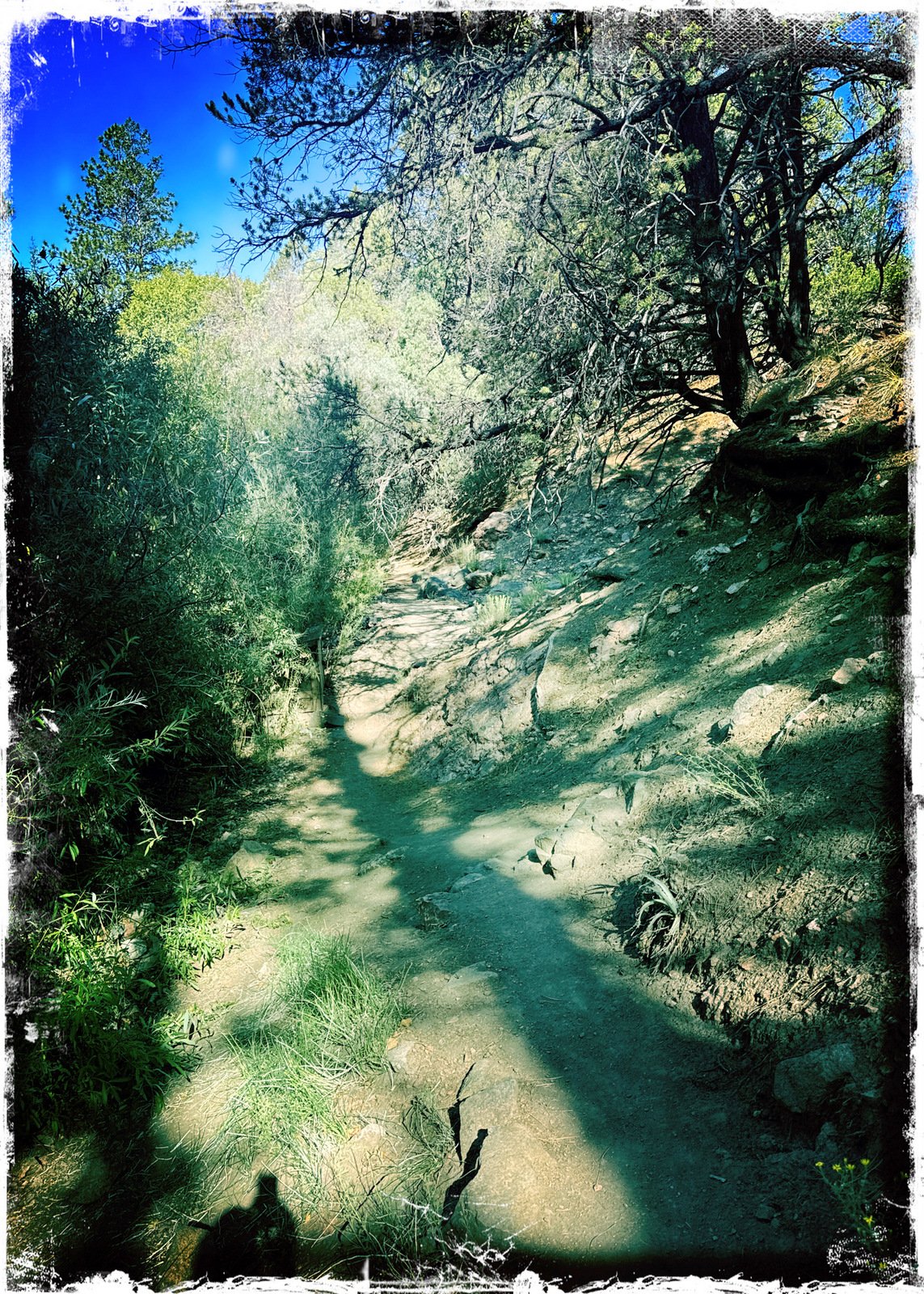
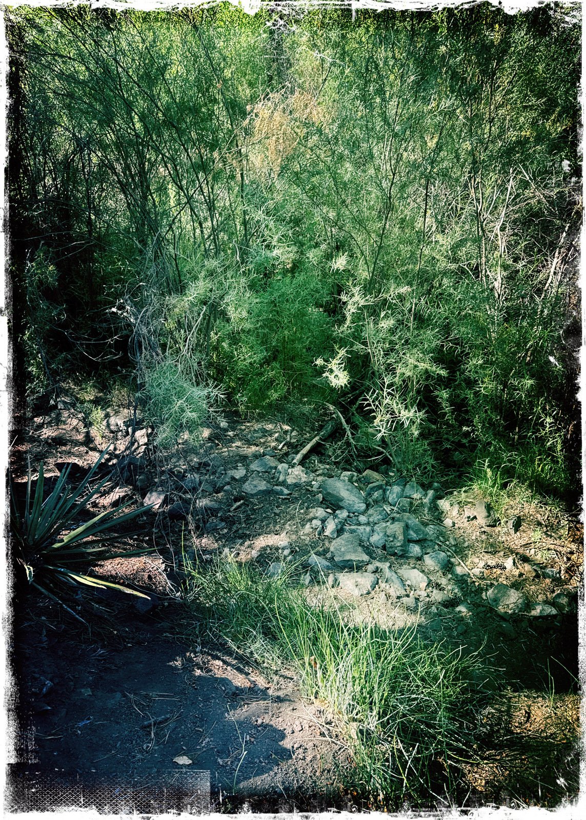
We have hiked of these trails before (see Related Posts below). Today we proceeded down the Little Tesuque Trail (alongside the creek, now very dry). On the way passed the junction with the Juan Trail – more about this later.
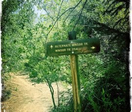
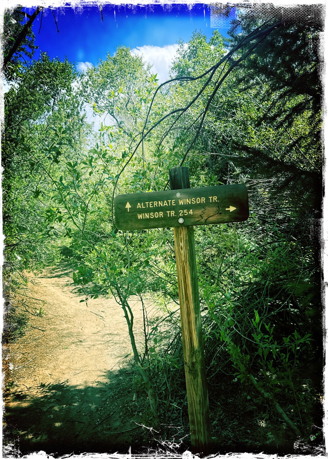
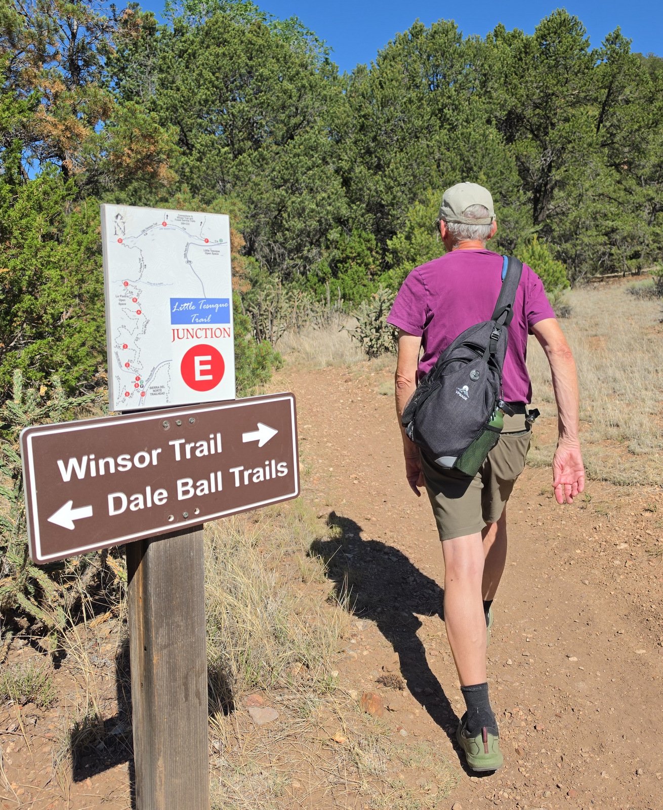
In a half mile, we turned right onto the Carol Trail (on the way ). The sign pointed -towards- the Winsor Trail (about 1.4 miles distant on the Carol Trail) and pointed to the Dale Ball Trails that it seems extend up the far. We headed out on Carol for its junction with the Winsor Trail.
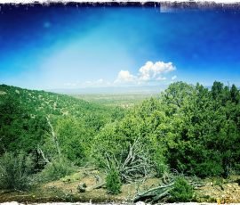
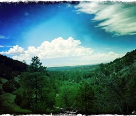
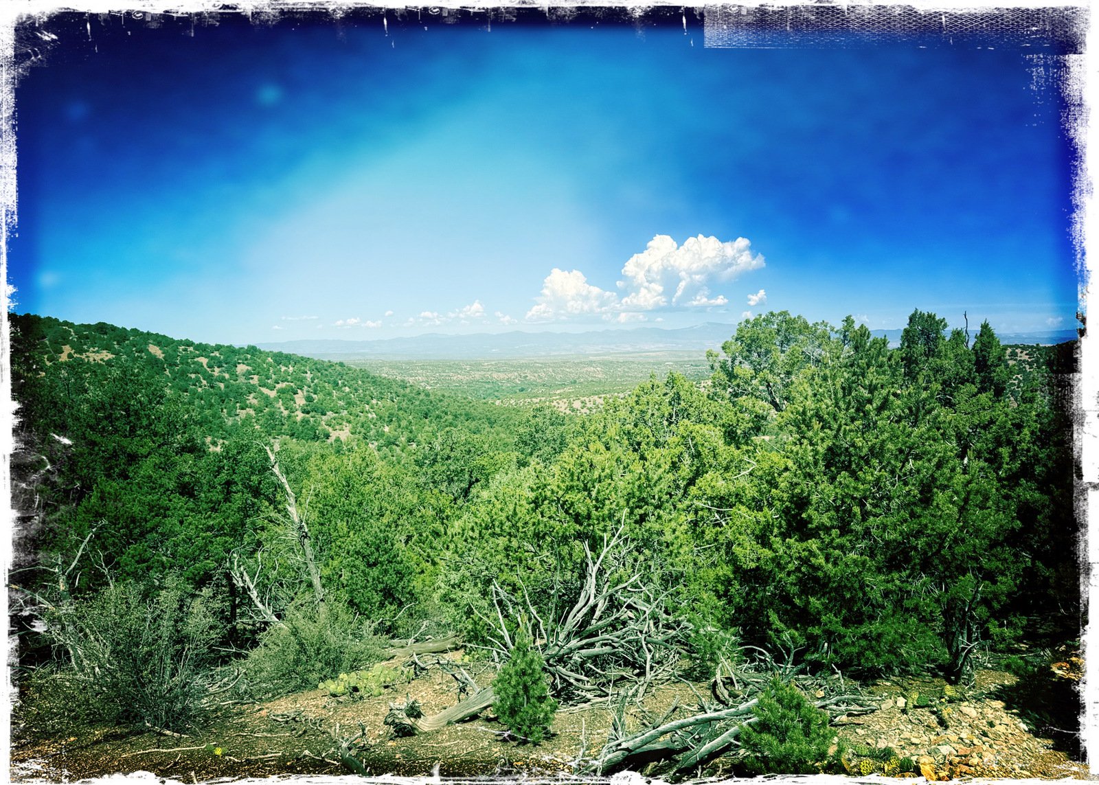
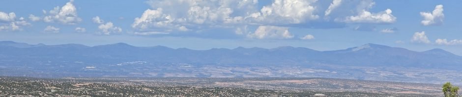
From there it was a nice easy climb through juniper and piñon forest up to the ridge and the boundary with the Santa Fe National Forest (marked by a remnant of a fence). It was then an easy descent, 1.4 mile, to the Winsor Trail and -the- Tesuque River.Along the way we encountered one of those views that make me “stop and take a look”, a great view across the Rio Grande valley to the Jemez Mountains, with a direct view of Redondo Peak on the left and Chicoma Mountain on the right – in Valles Caldera and to the northeast of the Caldera. The atmosphere was a bit hazy this day; we will return in the autumn when the air is New Mexico Clear.
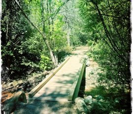
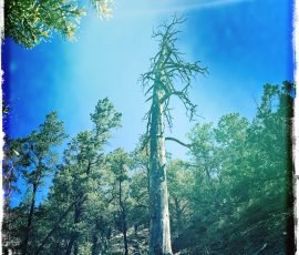
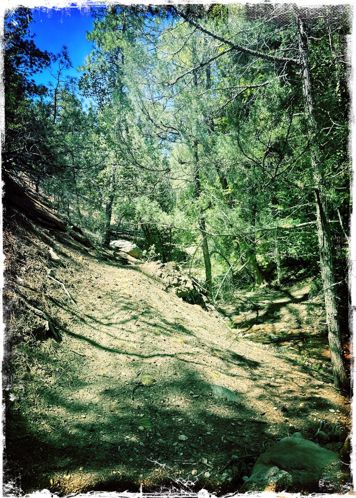
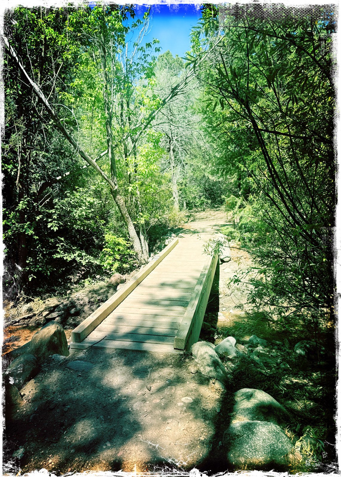
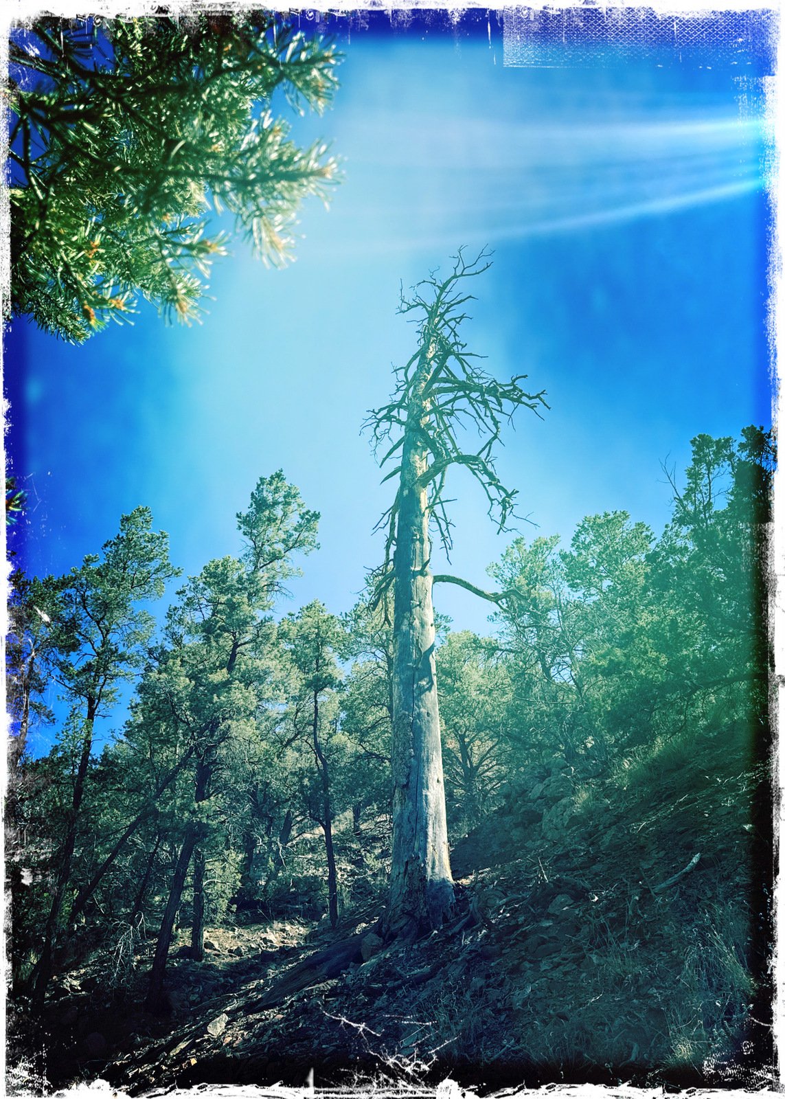
There was a bit of water running in the Tesuque We enjoyed a few minutes listening to the running water under the bridge across the Tesuque , then continued on the Winsor Trail for 200 yards and paused for a snack. It was during the part of the hike that we noticed a few ponderosa pines adding their character to the forest (unusual at elevations this low).
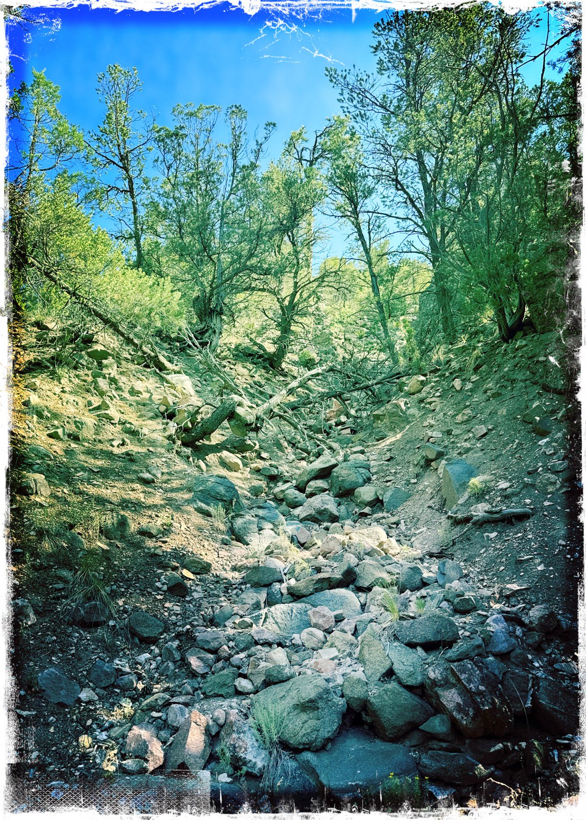
From there it was up the Burn Trail, a generally moderate climb on a mostly rocky trail for .9 mile – a good workout. The trail then turned out of the canyon on a steep, 200 foot climb up switchbacks to the top of the ridge where we passed out of the National Forest.
Atop the ridge we encountered a junction with the Saddleback Trail (its terminus) the Juan Trail which was our trail back to the Little Tesuque. From there we hiked .6 miles on a gentle downhill slope, sometimes rocky trail, back again in the open juniper and piñon forest typical at these lower elevations of the Sangre de Cristo.
Jay here: This hike pulled a fast one on me. I thought I knew the hike fairly well, and it did seem that way for the first quarter mile. Then everything looked different to me and it only got stranger. By the time we were at the stream just outside the Bishop’s Lodge property, I knew I had never been there. Eventually, following the Burn trail we came to a major switchback hill and upon reaching the top, it all came back to me. Except it was all in reverse. That’s NM hiking for you.
Highlight
Statistics
Total Distance: 3.94 miles Elevation: start 7,541 ft, maximum 7,852 ft, minimum 7,229 ft Gross gain: 823 ft. Aggregate ascending 1,085 ft, descending 1,085 ft Maximum slope: 30% ascending, 32% descending, 9.1% average Duration: 3:40, Average Speed: 1.1 mph, Shade: 70%
If you haven’t explored these hiking tracks with Google Earth, give it a try. With the virtual 3-dimensional presentation, achieved by panning and tilting the view, you can get good idea of the hike and the terrain. For some ideas, check out Using Google Earth Track Files.
— For an inline photo, click on it to display a larger image. Then [back] on your browser to return to the page.
— Some links that are marked out, suggesting they are “dead links”, will work. They go to a site that the Broken Links Finder cannot access, but -you- can.
 We have hiked of these trails before (see Related Posts below). Today we proceeded down the Little Tesuque Trail (alongside the creek, now very dry). On the way passed the junction with the Juan Trail – more about this later.
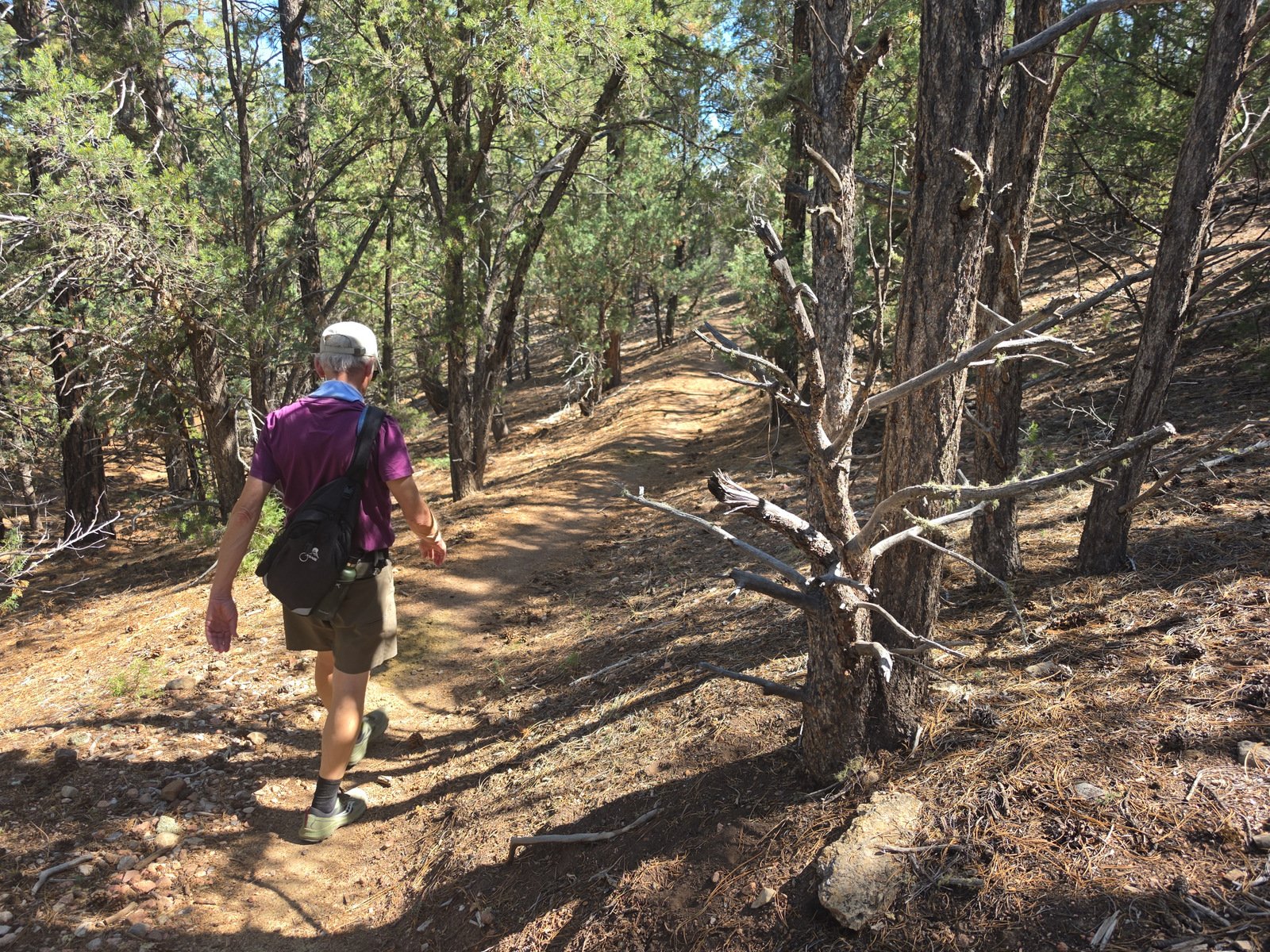 From there it was a nice easy climb through juniper and piñon forest up to the ridge and the boundary with the Santa Fe National Forest (marked by a remnant of a fence). It was then an easy descent, 1.4 mile, to the Winsor Trail and -the- Tesuque River.
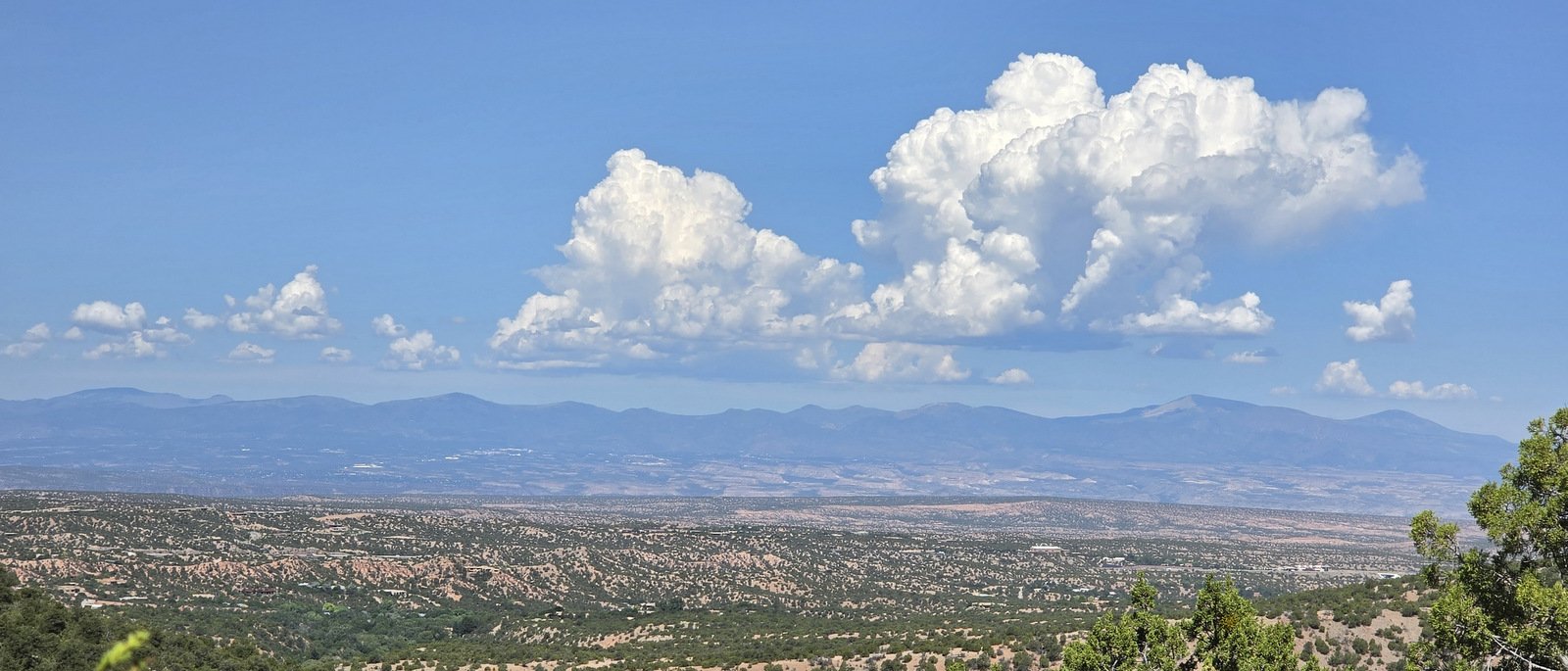 Along the way we encountered one of those views that make me “stop and take a look”, a great view across the Rio Grande valley to the Jemez Mountains, with a direct view of Redondo Peak on the left and Chicoma Mountain on the right – in Valles Caldera and to the northeast of the Caldera. The atmosphere was a bit hazy this day; we will return in the autumn when the air is New Mexico Clear.
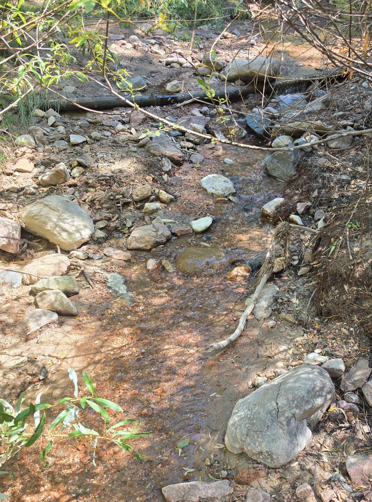 que We enjoyed a few minutes listening to the running water under the bridge across the Tesuque , then continued on the Winsor Trail for 200 yards and paused for a snack. It was during the part of the hike that we noticed a few ponderosa pines adding their character to the forest (unusual at elevations this low).
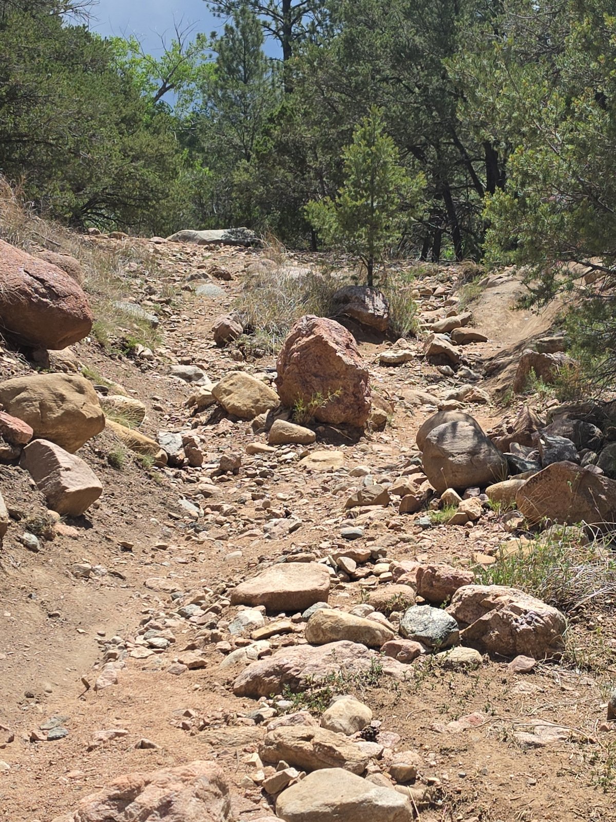 From there it was up the Burn Trail, a generally moderate climb on a mostly rocky trail for .9 mile – a good workout. The trail then turned out of the canyon on a steep, 200 foot climb up switchbacks to the top of the ridge where we passed out of the National Forest.