
It is November – we are not going to high altitude to escape the summer heat. But it is not yet winter – we can hike more on the higher altitude mountain trails of the Sangre de Cristo .. without snow. This trail escaped our attention until recently – we’re adding it it to our repertoire of hikes in this part of these mountains.
The Drive In
This trail begins at the well known trailhead for the Aspen Vista Trail. Drive up Hyde Park Road (SR 475); continue 4.3 miles past the Hyde Memorial State Park main entrance. There is ample parking on the right (although it is chock full during aspen viewing season).
The Hike
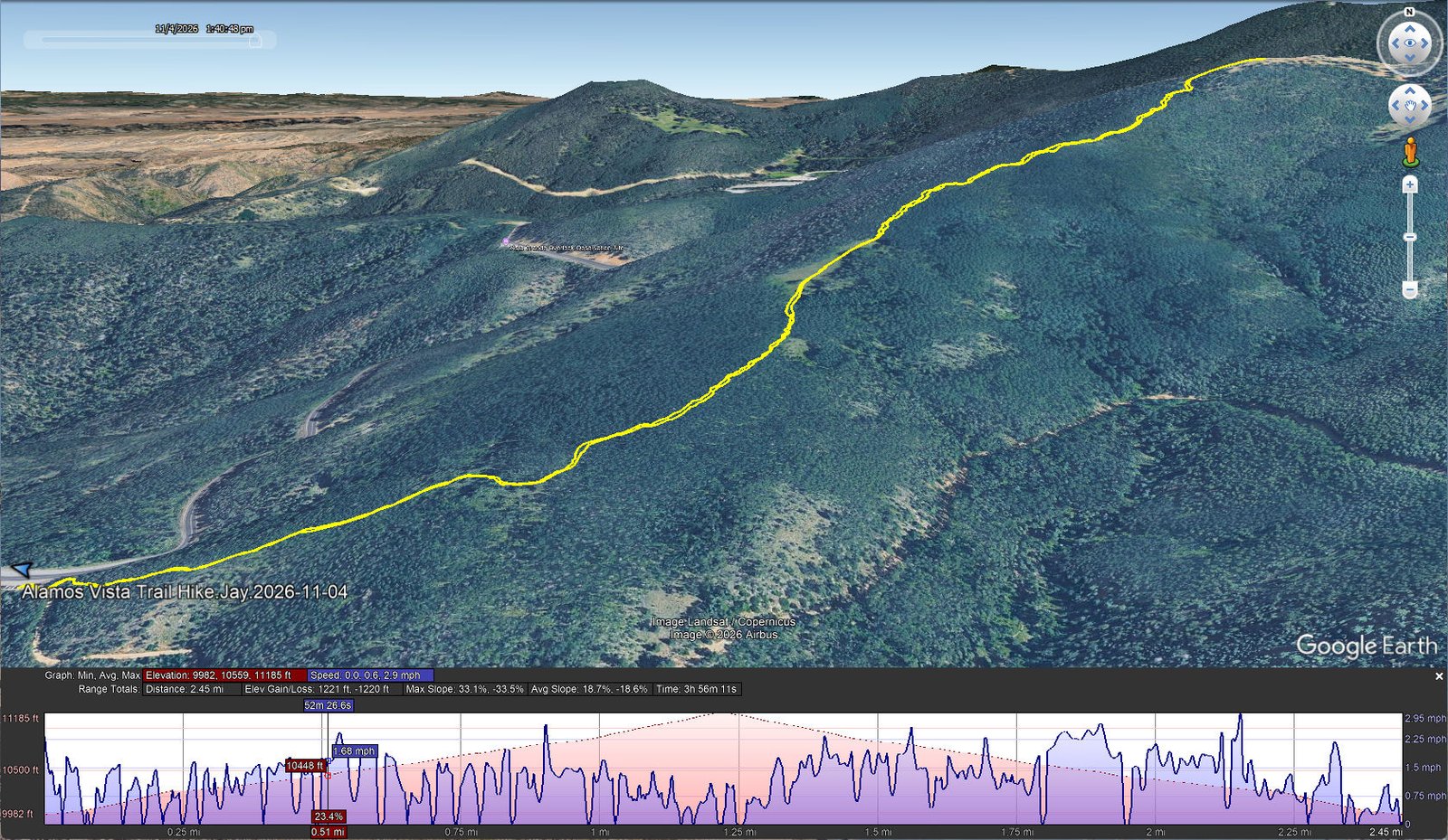
Alamos Vista Trail Hike.Jay.2026-11-04
Notes about the Google Earth screenshot: the graph at the bottom shows elevation of the track (pink area) and speed (the blue line). Click on the image for a full-screen view.
We have passed the trailhead for today’s hike many times as we hiked the Aspen Vista trail; it is just inside the gate to the left. It is obvious now – a well worn entrance to a trail that begins a continuously steep climb for 1.2 miles and 1,223 feet – you might get the idea from the GoogleEarth screenshot above.
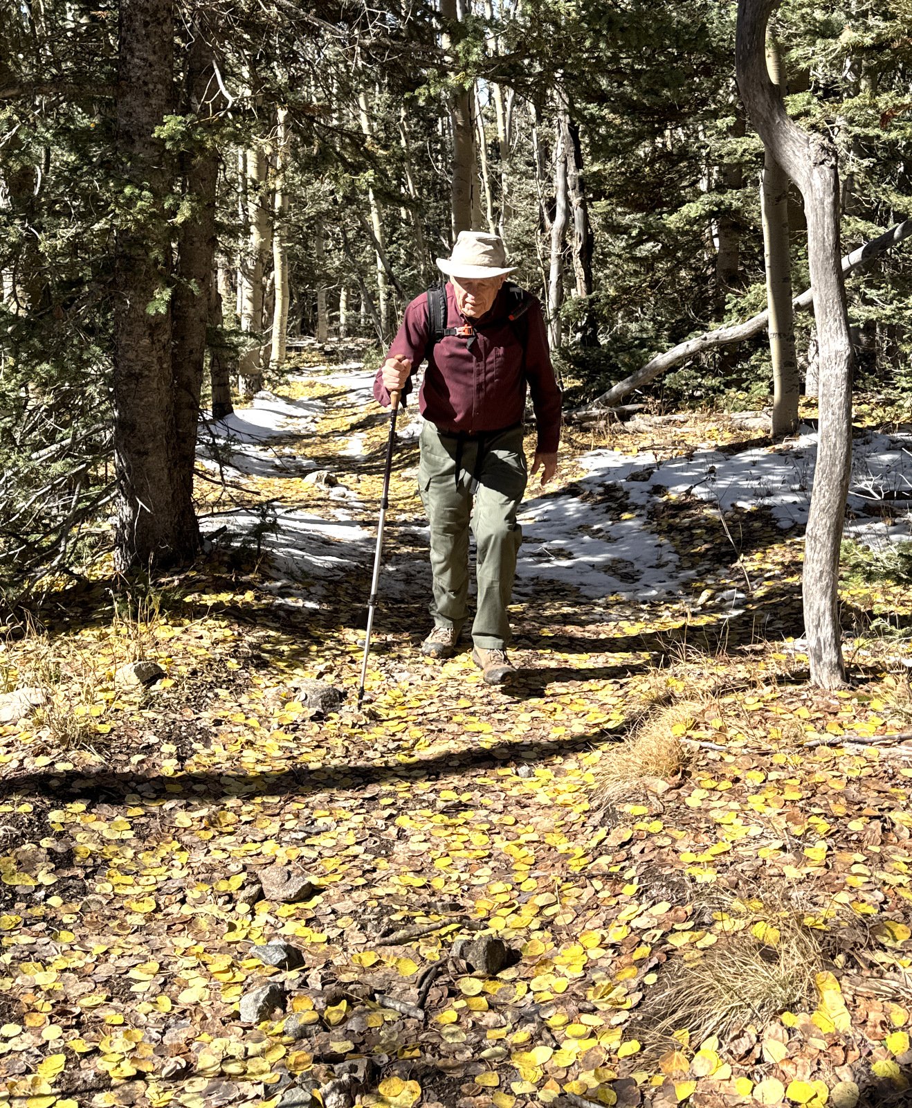
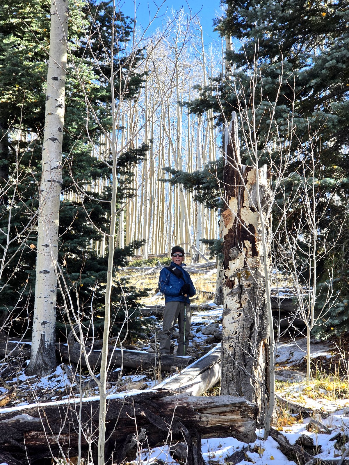
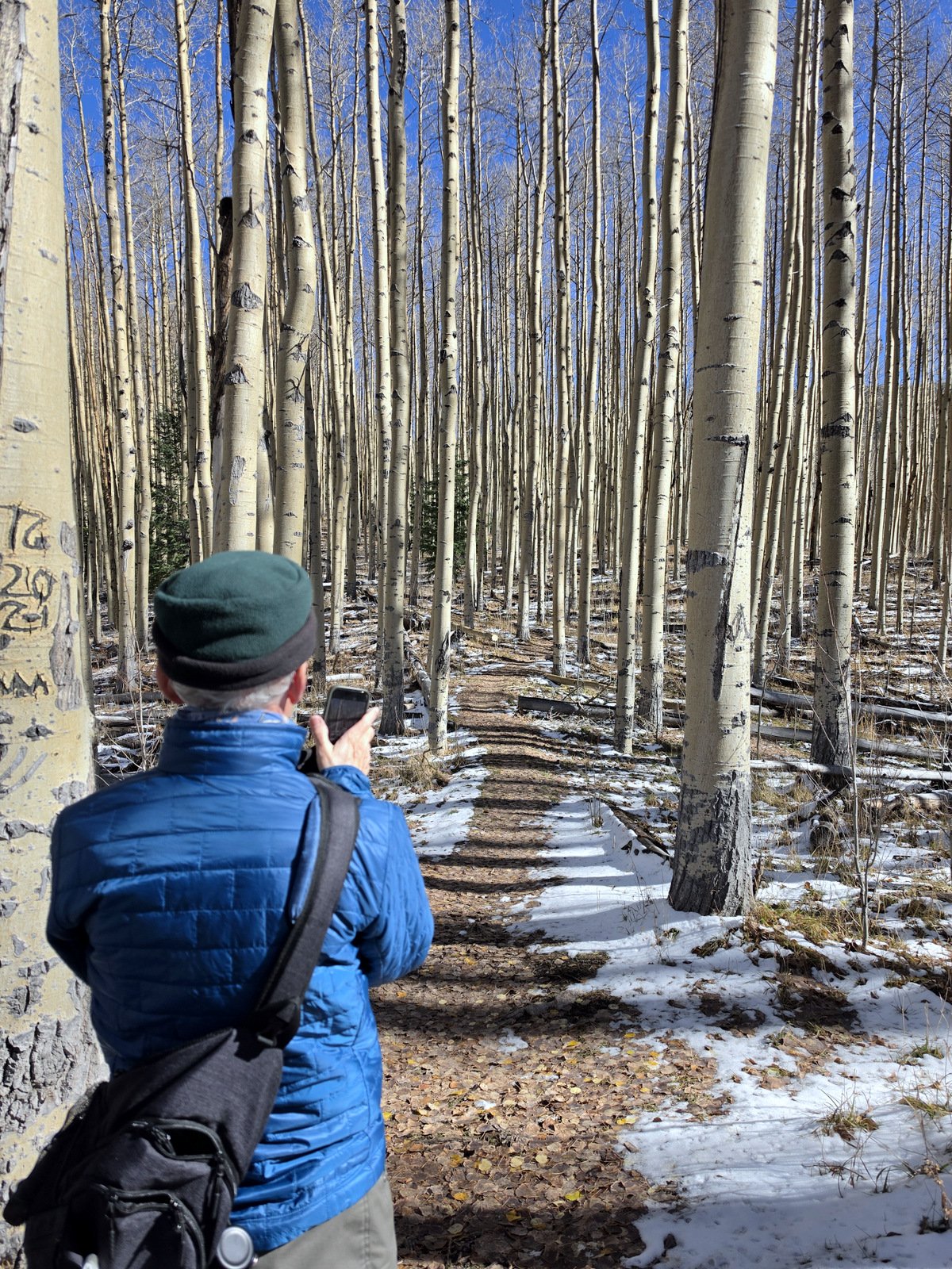
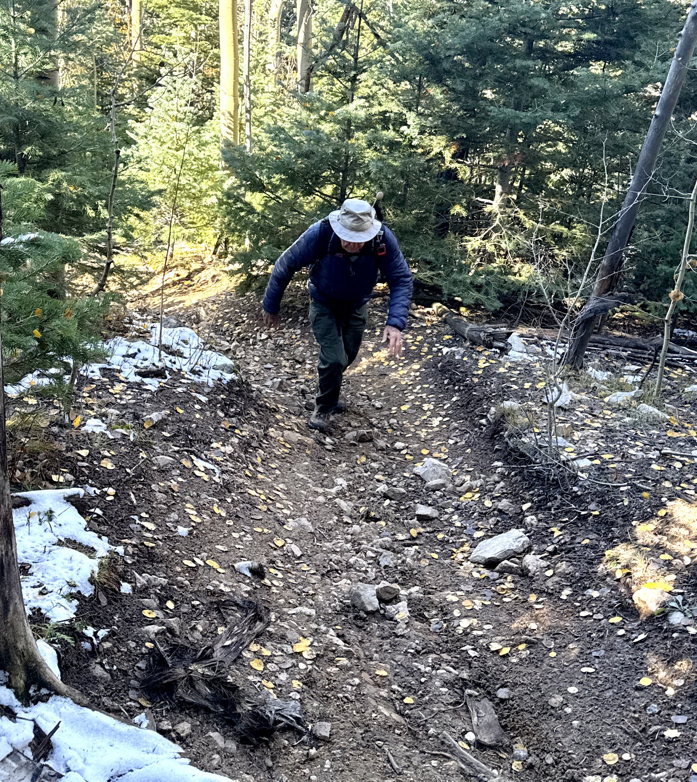
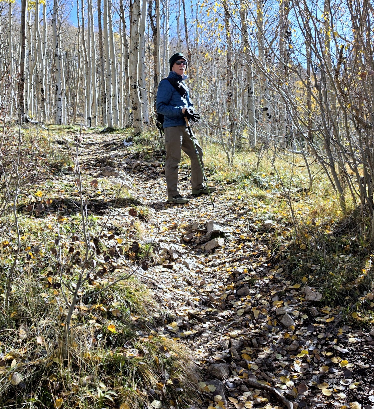
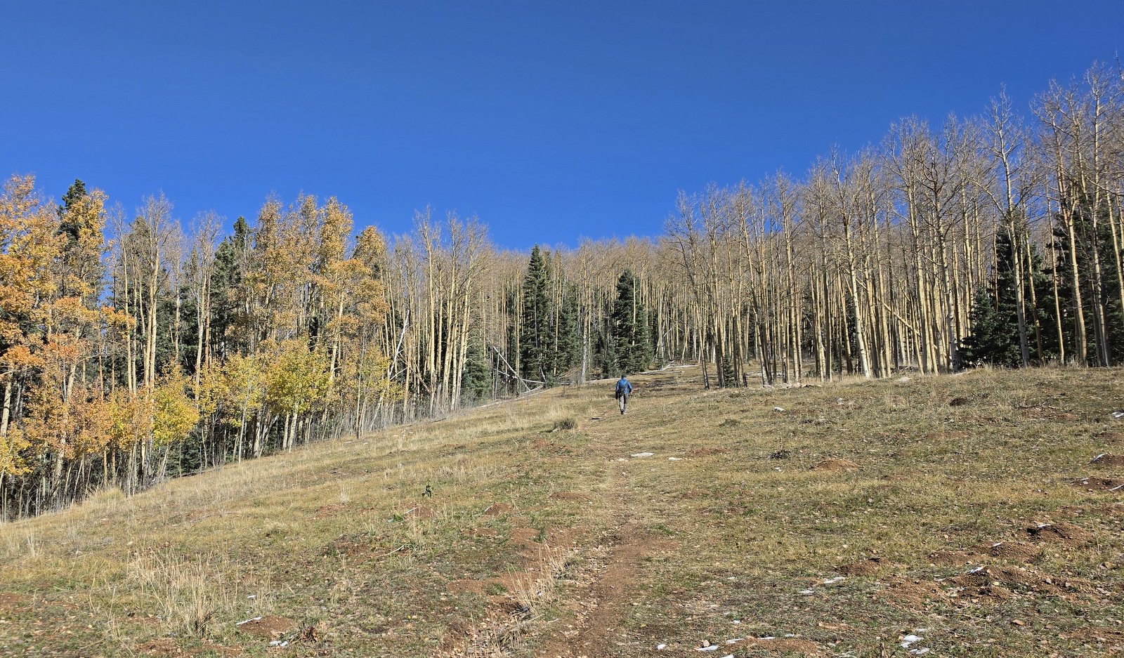
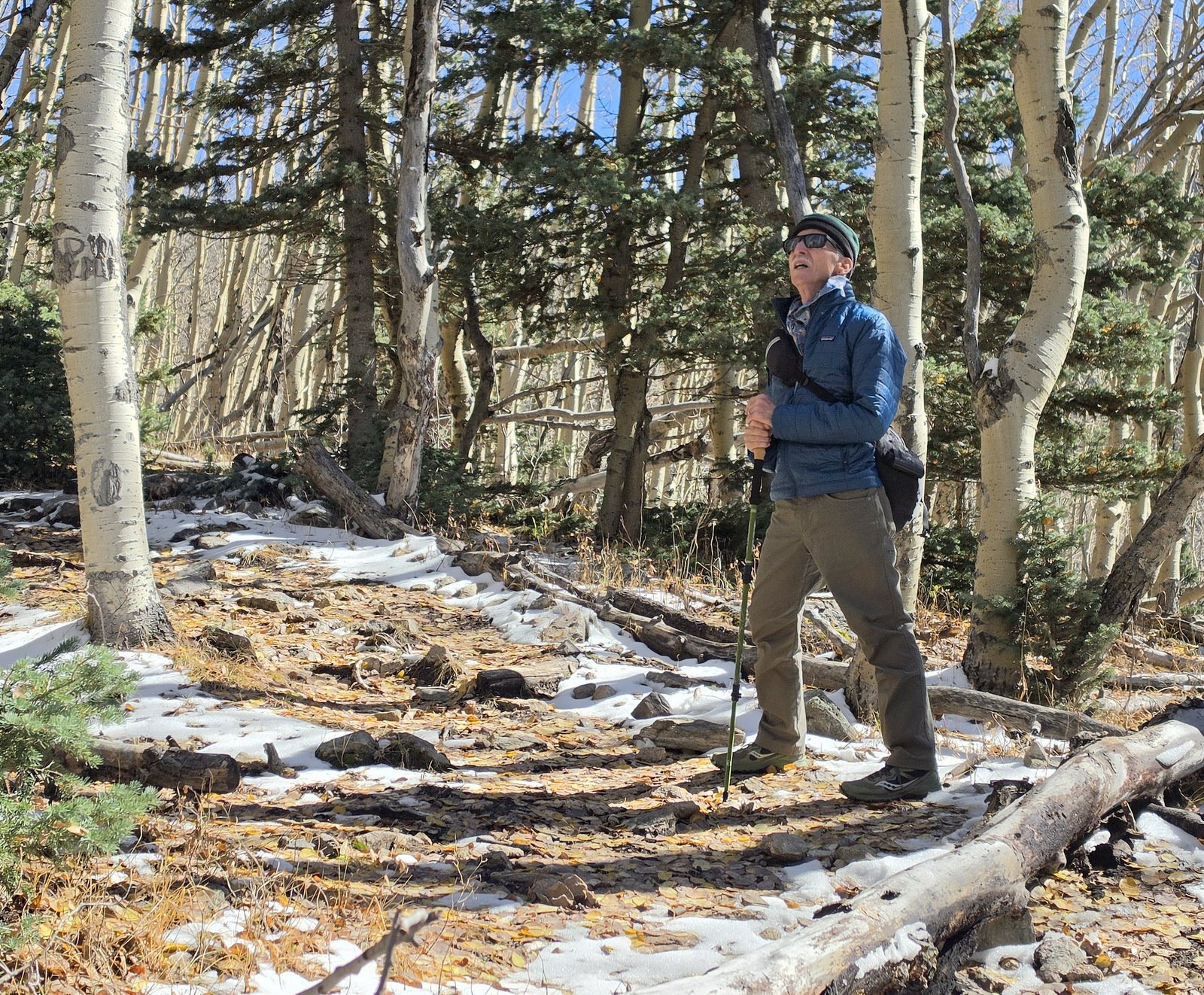
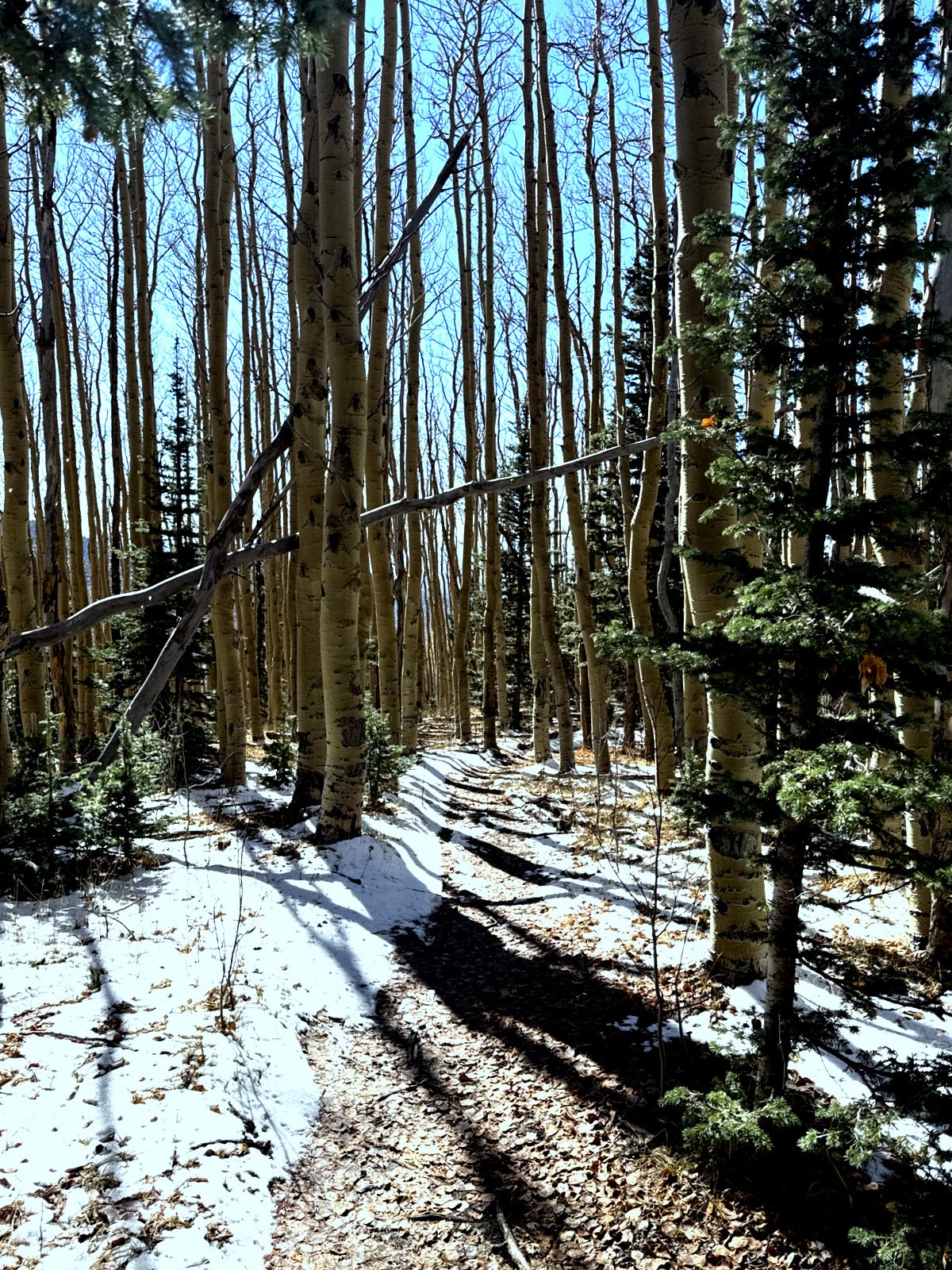
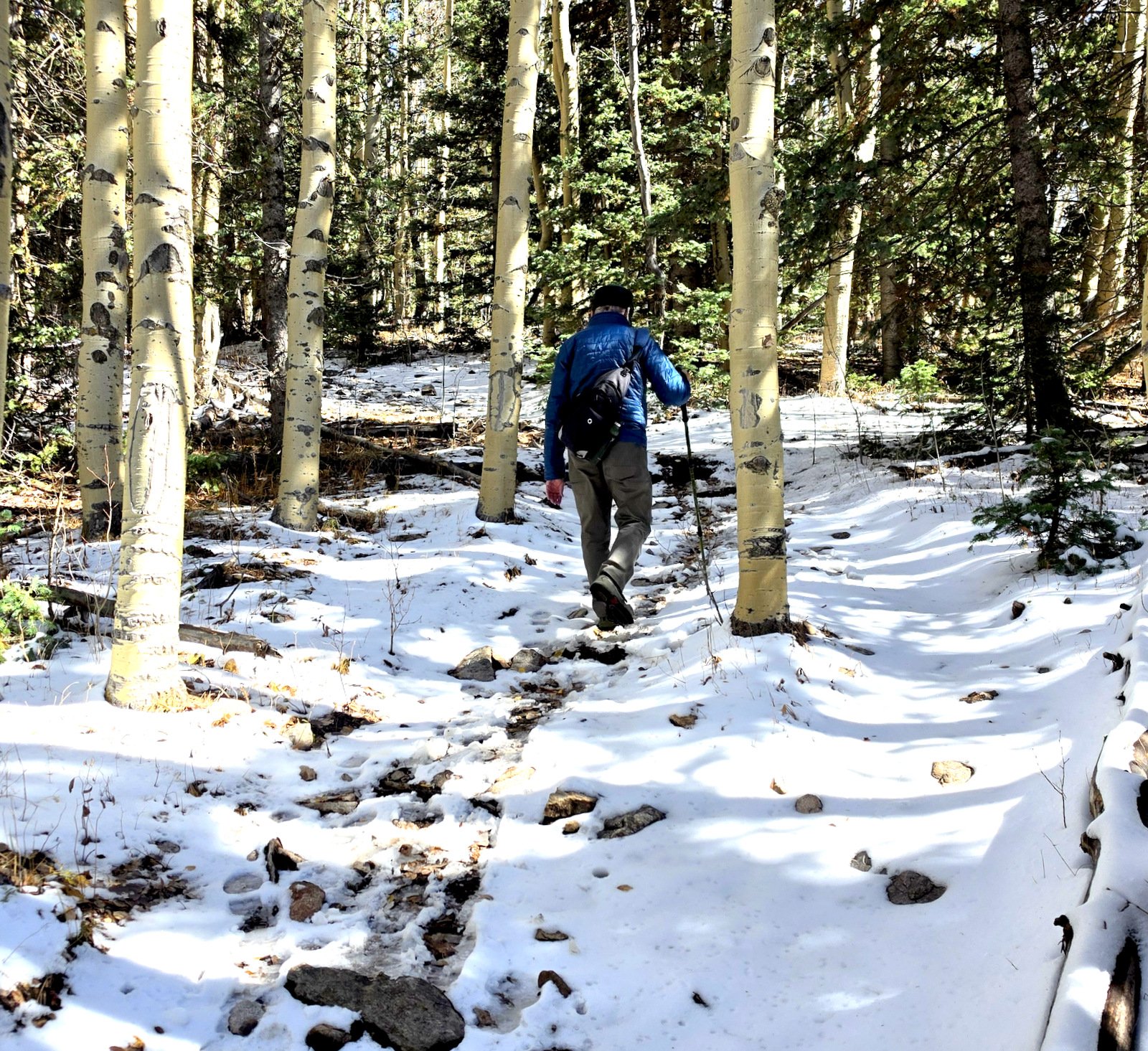
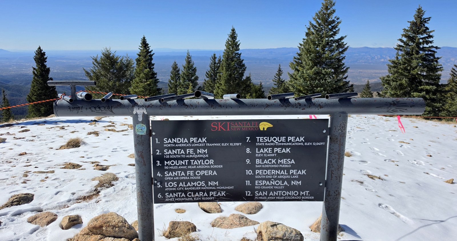
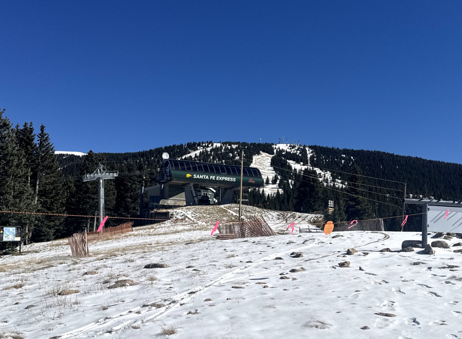
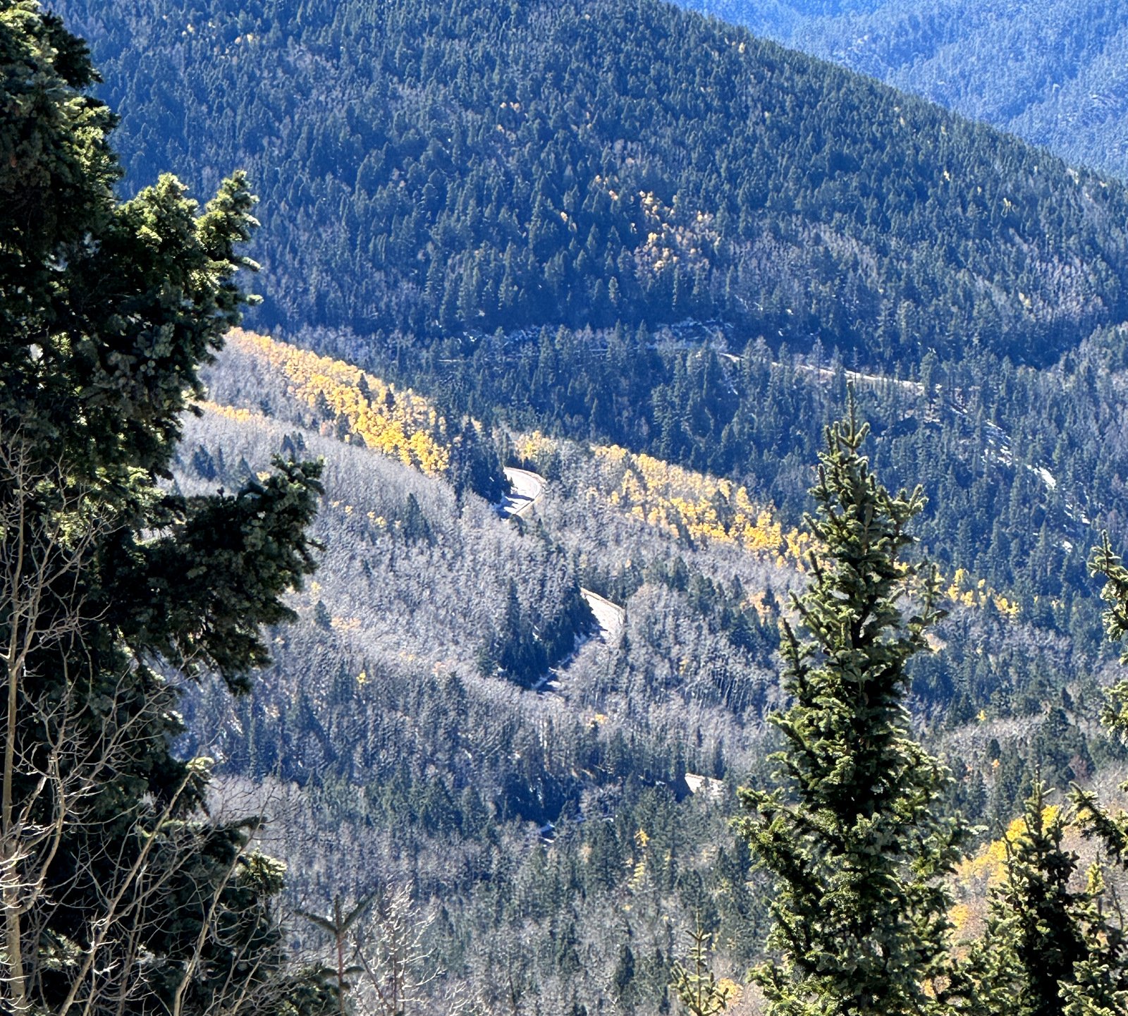
The climb up was steep, but we’ve been doing such climbs on other trails recently. The descent burned me out .. 1.2 miles of concentration for most every step, bending one knee while maintaining coordination and balance to control the other leg, carefully planting the left foot onto a solid level surface. The takeaway – I will be working hard on deep knee bends and other exercises in coming weeks to strengthen those knee muscles.
Highlight
A beautiful, challenging trail .. and to have completed it. And .. our first foray into snow (‘tho just a small amount) .. I look forward to more if it this winter.
Statistics
Total Distance: 2.45 miles
Elevation: start 10,280 ft, maximum 11,185 ft, minimum 9,982 ft
Gross gain: 1,223 ft. Aggregate ascending 1,221 ft, descending 1,220 ft
Maximum slope: 33% ascending, 36% descending, 18.7% average
Duration: 3:36, Average Speed: 0.6 mph, Shade: 50%
| GPS Track Files for Download | |
10 Downloads | |
9 Downloads | |
20 Downloads | |
If you haven’t explored these hiking tracks with Google Earth, I urge you to try it. With the virtual 3-dimensional presentation, achieved by panning and tilting the view, you can get a much better idea of the hikes and terrain than you can get from the screenshot above. For some ideas, check out Using Google Earth Track Files. | |
Related Posts
Aspen Vista Trail Hike – 08/10/2026
Tesuque Creek & Aspen Vista Loop – 8/28/2021
Aspen Vista Trail – 07/22/2018
References and Resources
AI Review: Alamos Vista Trail
AllTrails: Alamos Vista Trail
Hiking Project: Alamo Vista
onX: Alamos Vista Trail
Ski Santafe: Map of Lifts and Trails
Jay’s Hipstamatic Photos

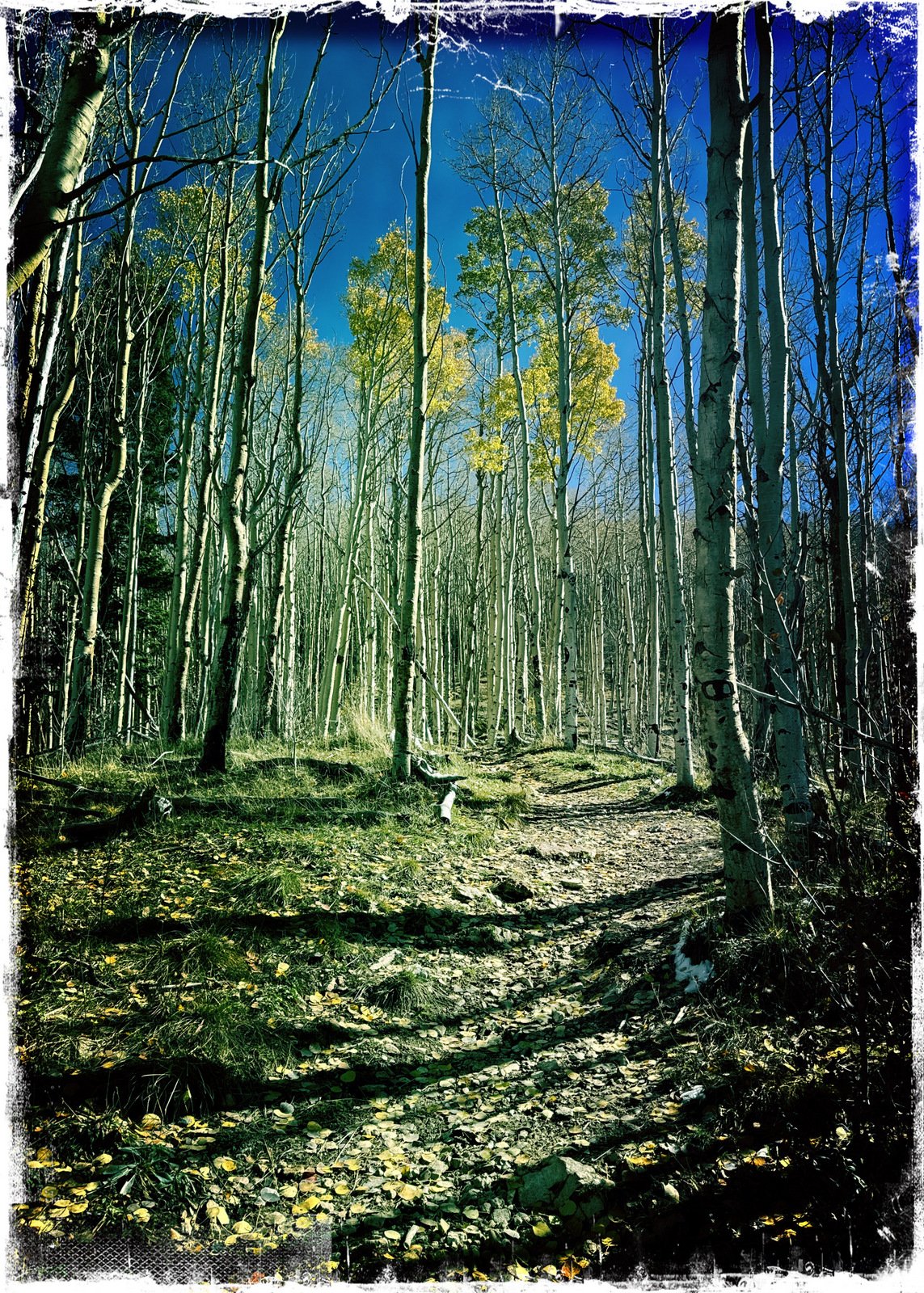

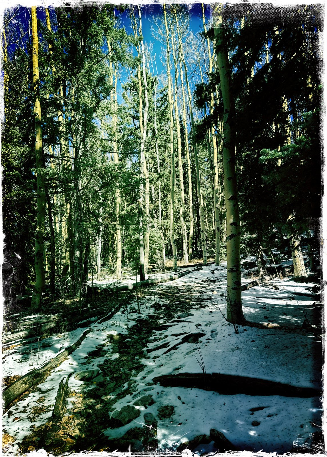

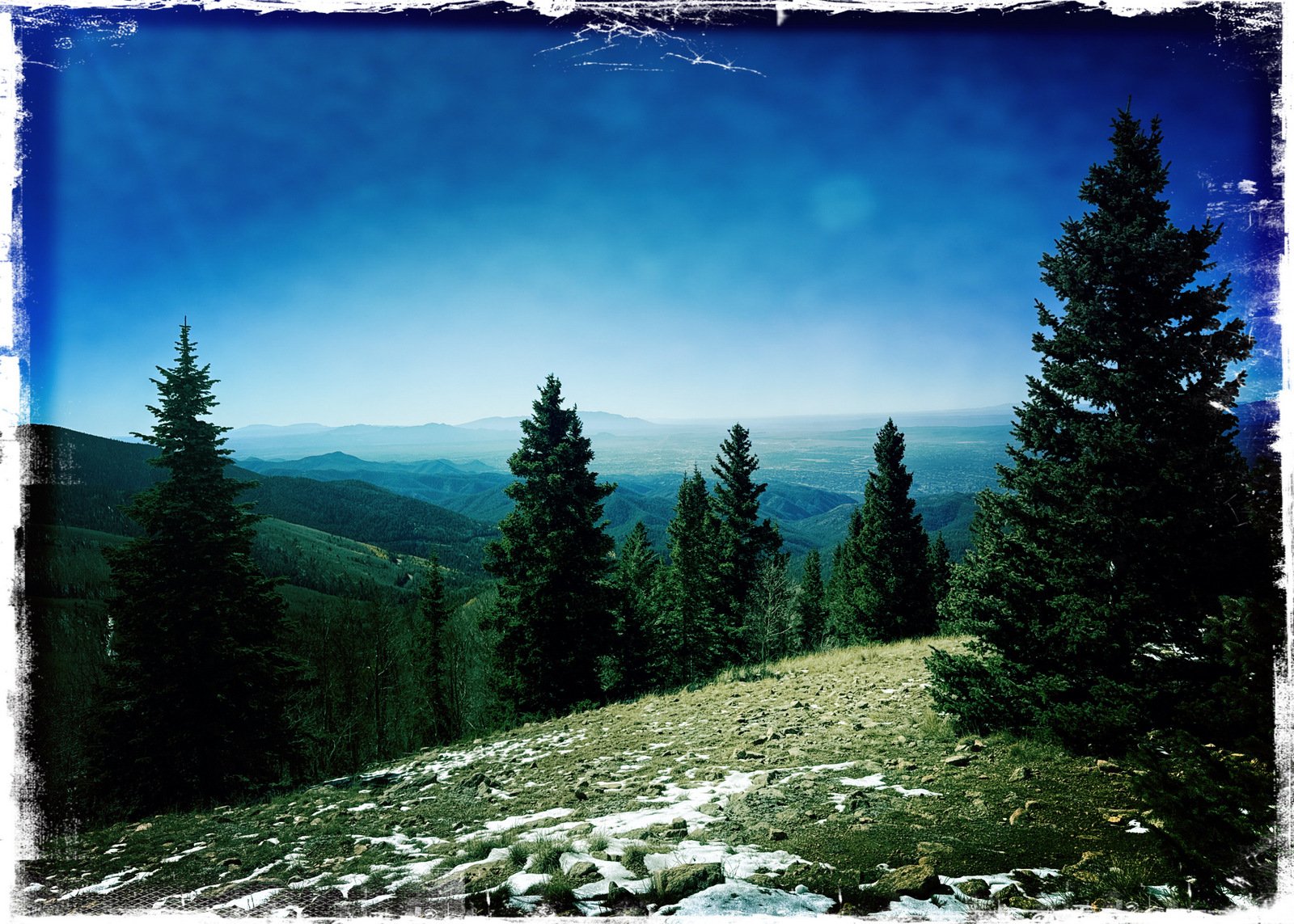
Views to date: 0 views.