Our 2nd hike this day, on a 2-day camping trip to Bandelier National Monument.
The Drive In
The trailhead is down in Frijoles Canyon, so the drive in is to go to the Bandelier Visitor Center.
The Hike
Bandelier-Falls Trail Hike.Pat.2022-04-25
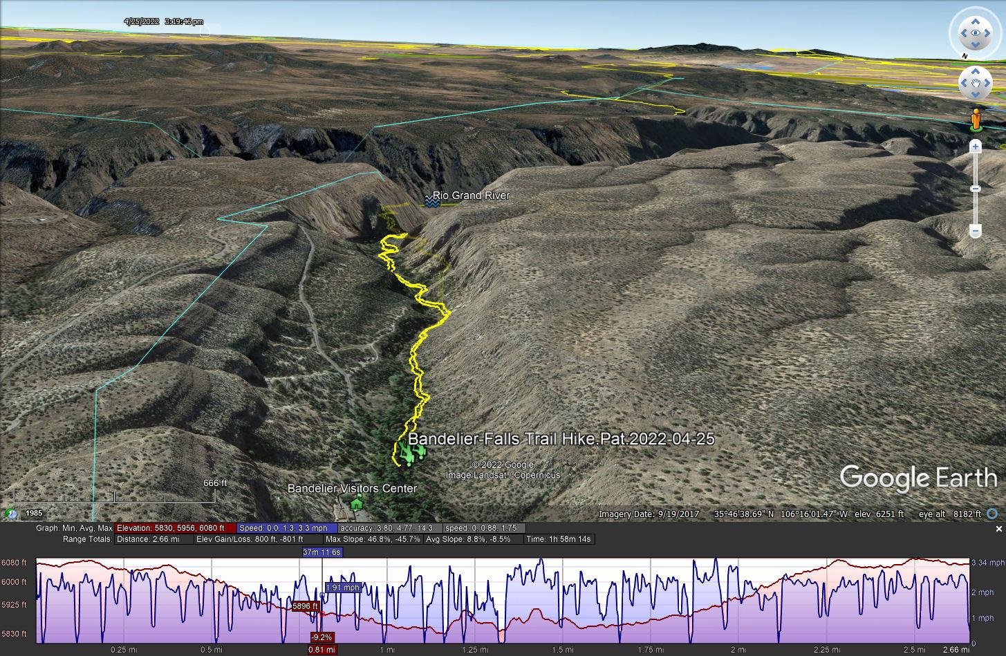
Notes about the Google Earth screenshot: the graph at the bottom shows elevation of the track (pink area) and speed (the blue line).
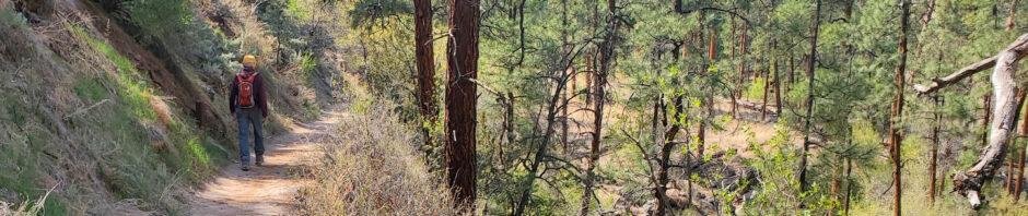
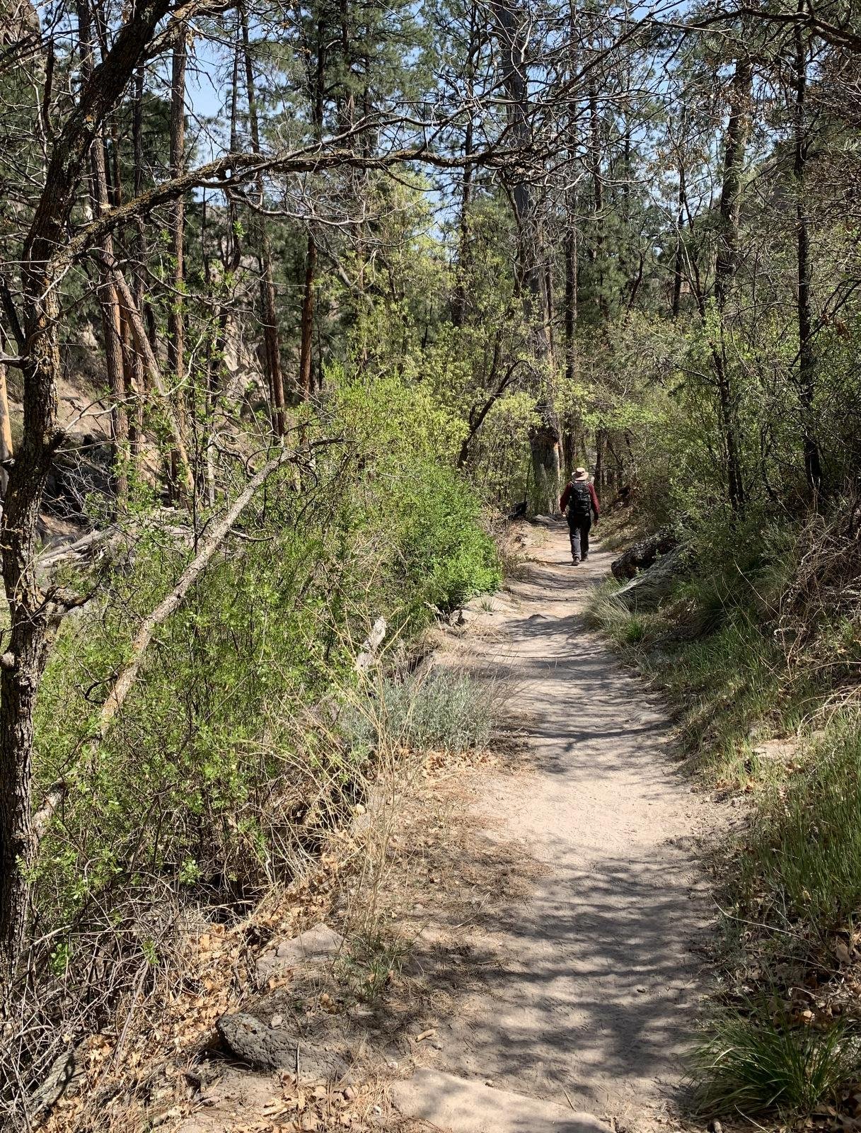 After having hiked the Frey Trail, with time (and energy) remaining, we headed down-river towards the Rio Grande on the Falls Trail. The trailhead is southwest of the Visitors Center, across the Rio de los Frijoles. It then proceeds down the western side of Frijoles Canyon, on a well used trail of gravel.
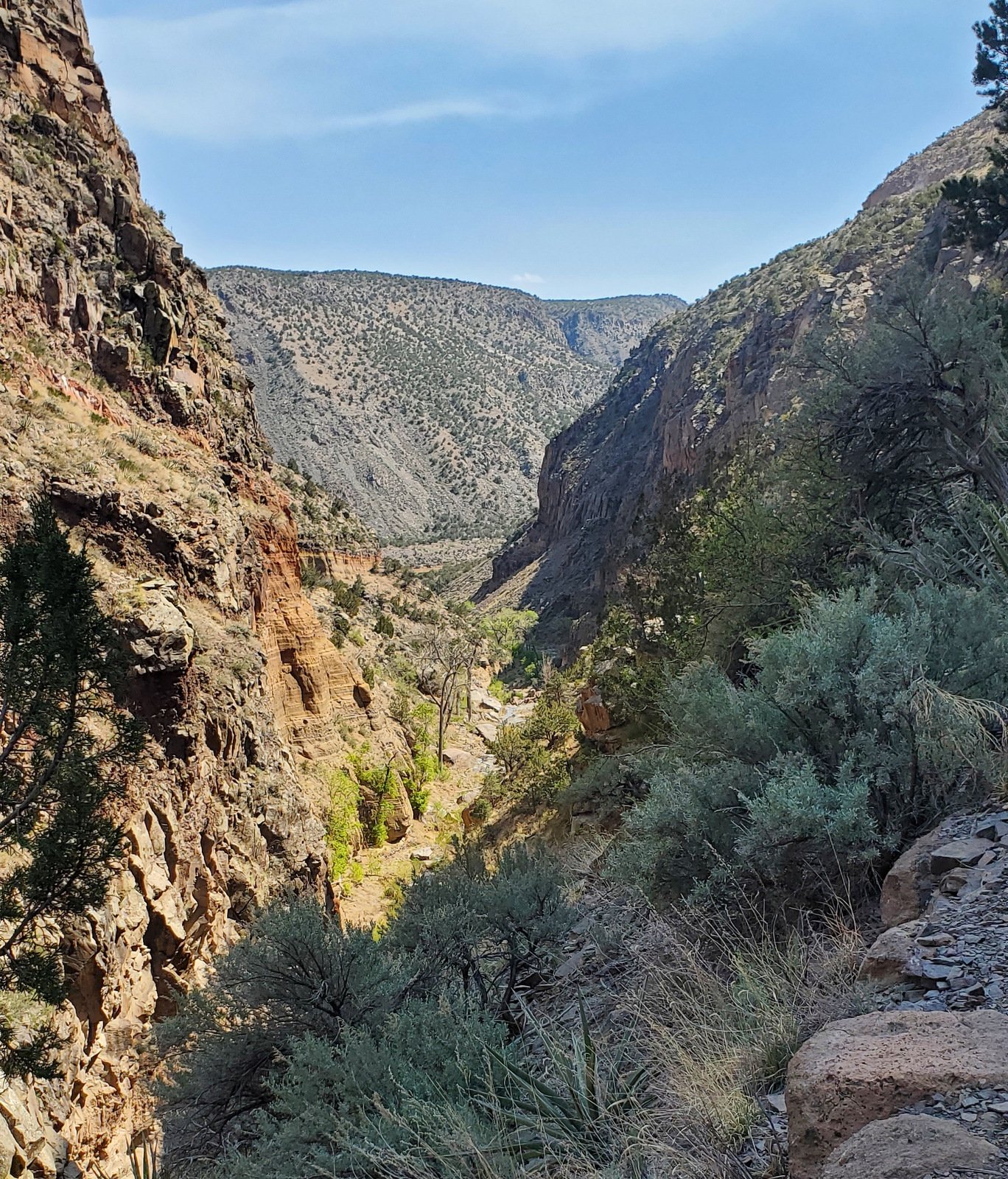
The trail ends at an overlook with a view upstream to the Upper Frijoles Falls. From here one can also see downstream, through the narrowing of the canyon where the Rio de los Frijoles flows into the Rio Grande.
The view near the start of the trail, looking downstream into the canyon.
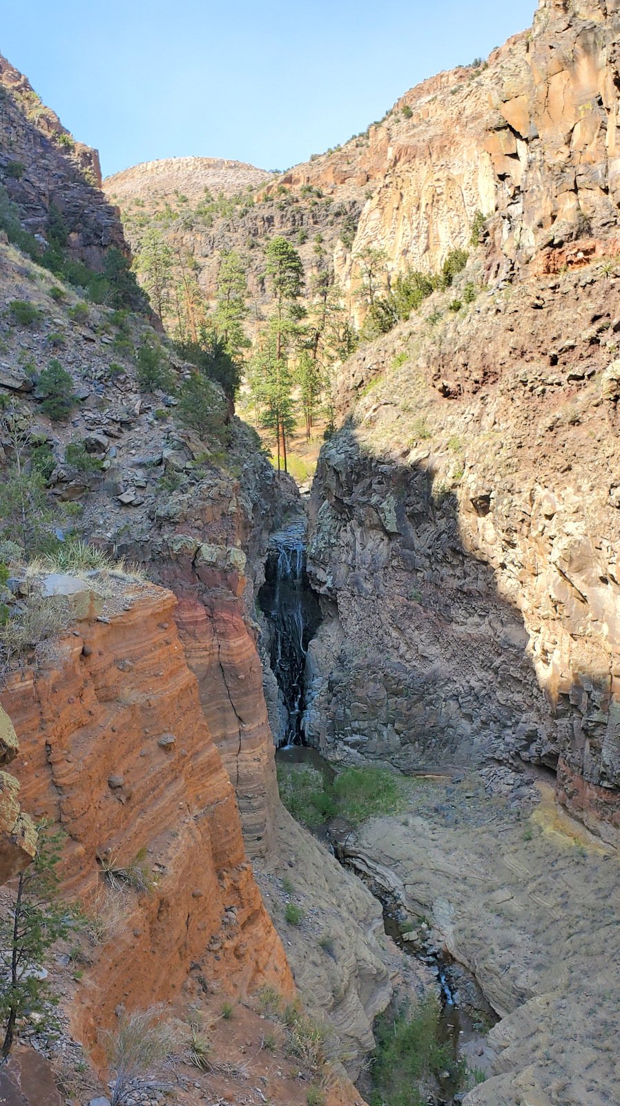
From the overlook at trail’s end, looking upstream at Upper Frijoles Falls
Highlight
This is a very nice, easy hike that would be great for visitors unaccustomed to hiking longer trails, with the Falls being a feature of interest.
Statistics
Total Distance: 2.66 miles
Elevation: start 6,061 ft, maximum 6,080 ft, 5,830 minimum ft
Gross gain: 250 ft. Aggregate ascending 800 ft, descending 801 ft
Maximum slope: 47% ascending, 46% descending, 8.7% average
Duration: 1:58
| GPS Track Files for Download | |
0 Downloads | |
|---|---|
162 Downloads | |
If you haven’t explored these hiking tracks with Google Earth, I urge you to try it. With the virtual 3-dimensional presentation, achieved by panning and tilting the view, you can get a much better idea of the hikes and terrain than you can get from the screenshot above. For some ideas, check out Using Google Earth Track Files.
Related Posts
Hikes in Bandelier National Monument
References and Resources
NPS Bandelier National Monument: Falls Trail
AllTrails: Upper Falls Trail
American Southwest: Falls Trail, Bandelier National Monument
Red Around the World: Hike The Falls Trail In Bandelier National Monument, New Mexico
Discover All Corners: Falls Trail, Bandelier National Monument (to the Upper Frijoles Falls)