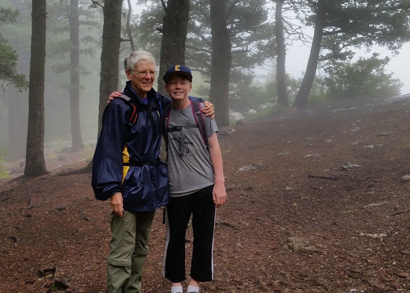
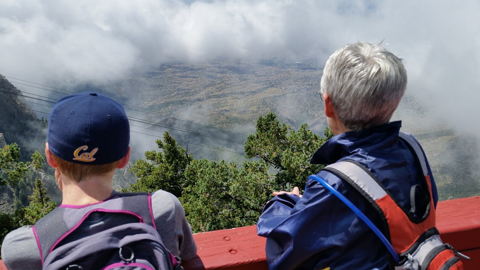
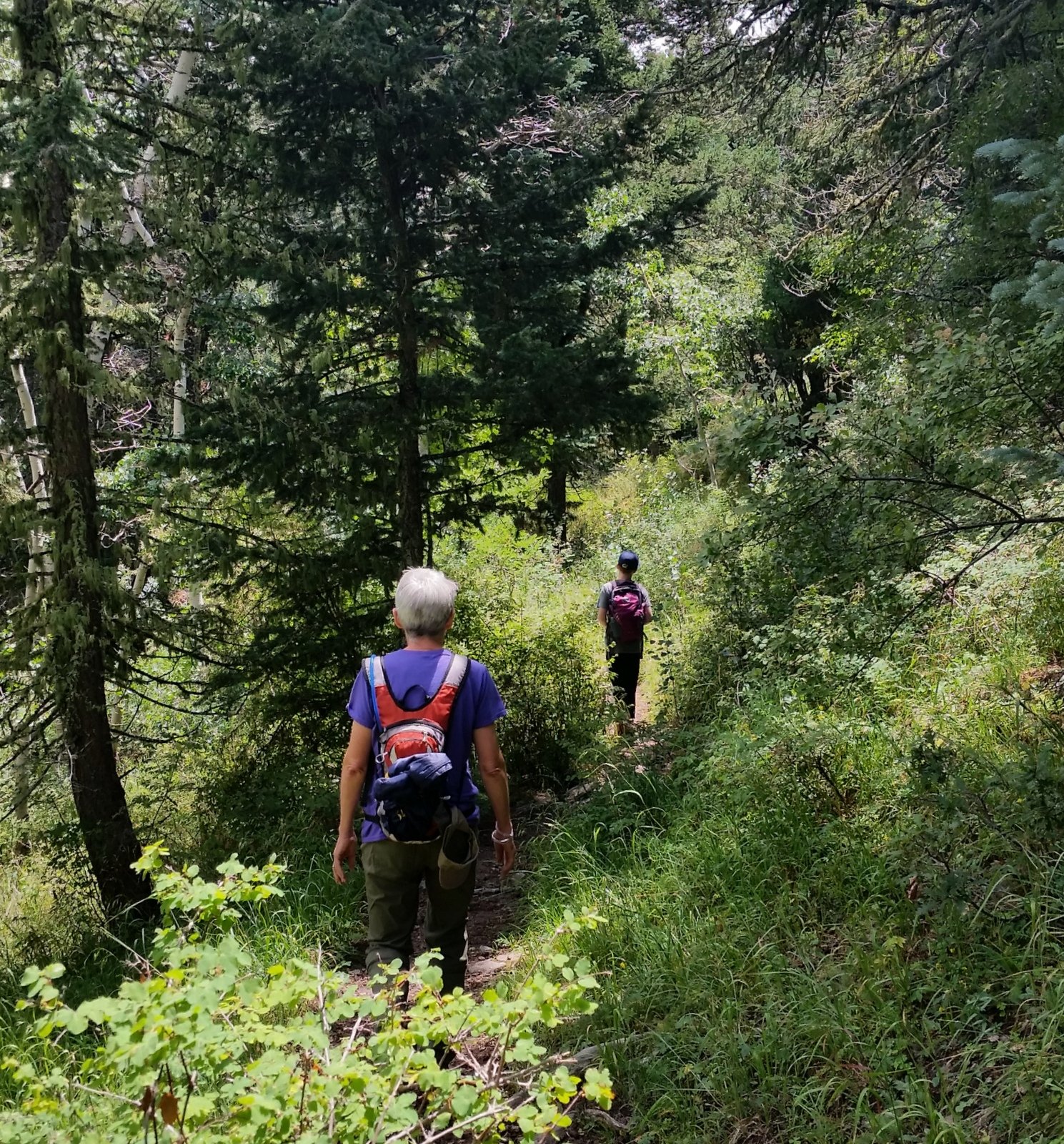
Drove up the Crest Highway to Sandia Crest for a hike with Pat and Peyton.
The Hike
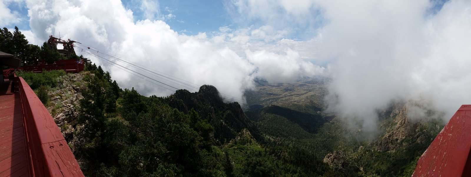
From Albuquerque, the Crest was shrouded in clouds. And the clouds were still hanging around when we arrived at the Crest House. None the less, we had a very nice hike, first north on the Crest Trail for 3/4 of a mile, then south for half a mile.
Statistics
Total Distance: 2.83 miles
Elevation: 10,389 start, 10,419 maximum, 10,145 minimum
Gross gain: 244. Aggregate 593 ft ascending, 596 ft descending
Maximum slope: 45% ascending, 46% descending, 7.5% average
Duration: 2:18
| GPS Track Files for Download | |
180 Downloads |
|
|---|---|
227 Downloads |
|


