Piedra Lisa South Hike.Jay.2013-05-11
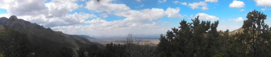
A catch-up post from ‘way back’ in 2013. Piedra Lisa is a favorite trail, whether from the south, Juan Tabo Cañon or the north from Loop Road in Placitas.
Statistics
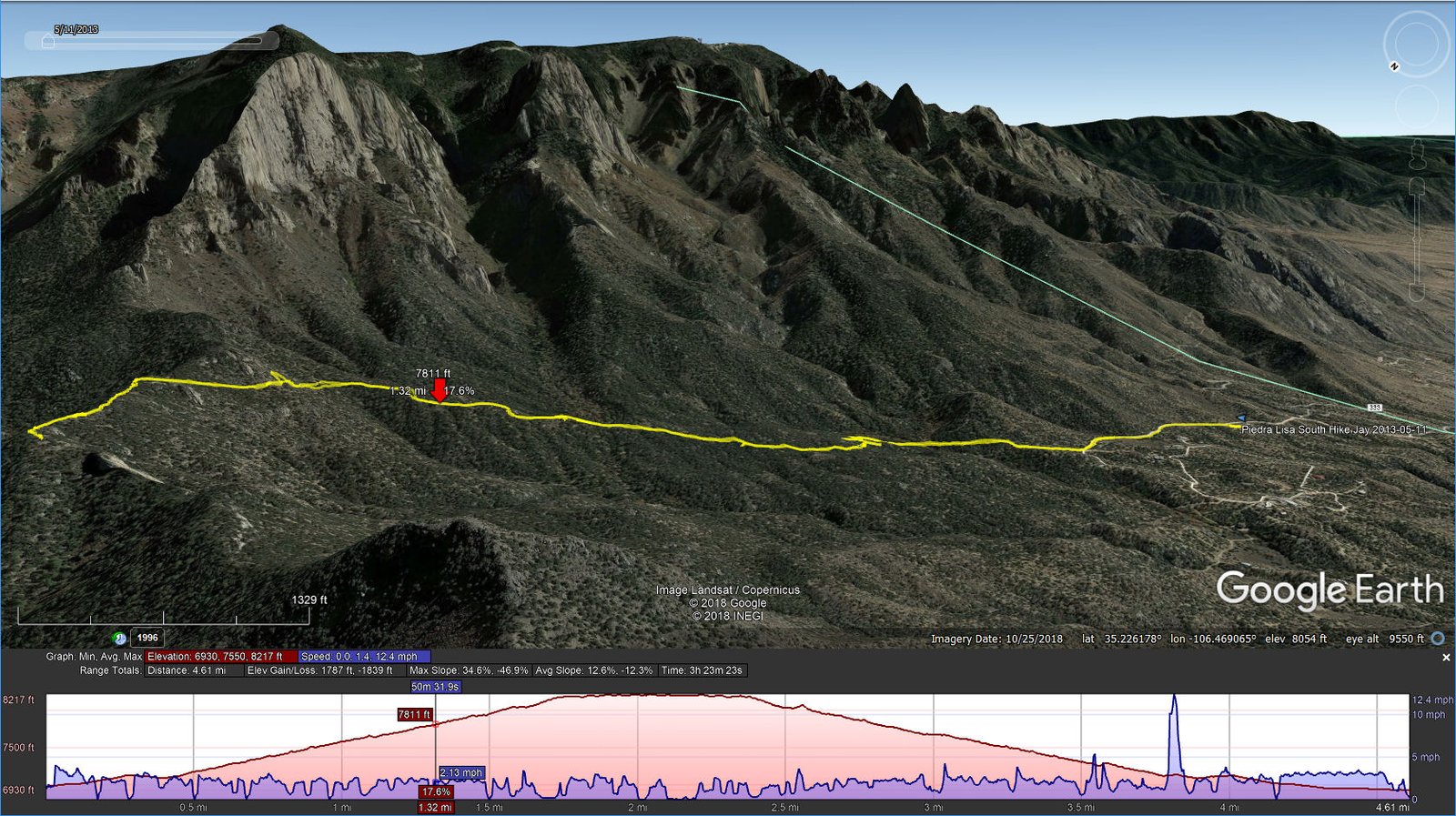
Total Distance: 4.61 miles
Elevation: start 6,982 ft, maximum 8,217 ft, minimum 6,930 ft
Gross gain: 1,287 ft. Aggregate ascending 1,787 ft, descending 1,839 ft
Maximum slope: 35% ascending, 47% descending, 12.6% average
Duration: 3:23
| GPS Track Files for Download | |
283 Downloads | |
|---|---|
190 Downloads | |
I urge you to explore our hiking tracks with Google Earth. With the virtual 3-dimensional presentation, achieved by panning and tilting the view, you can get a much better idea of the hikes and terrain than you can get from the 2-dimensional screenshot above. For assistance: Using Google Earth Track Files.


