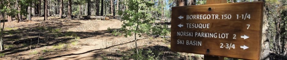
This was a really great hike, elevation high enough to escape the hot weather at lower temperatures, and a very nice trail (and workout).
The Drive In
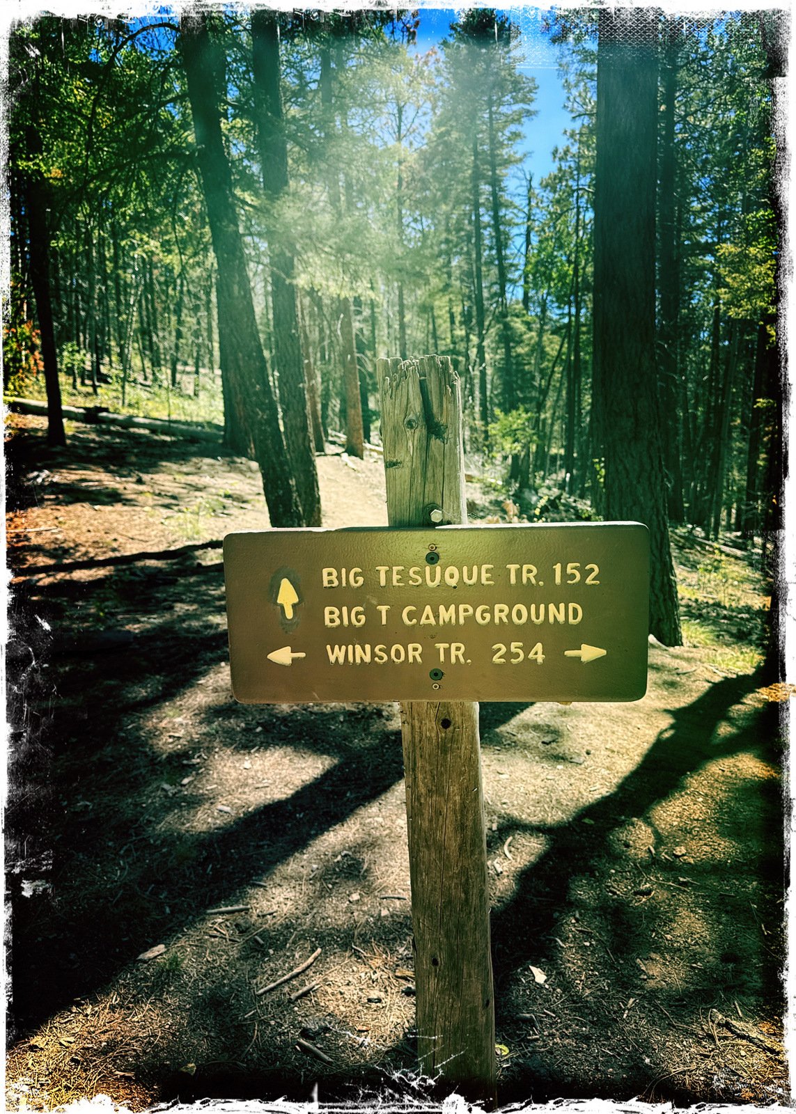
Drive up Hyde Park Road (NM 475) from it’s beginning at Bishop’s Lodge Road, 12 miles to the Big Tesuque Campground – park there. The trailhead for the Tesuque Creek South Fork Trail (#152) is across the road, on the uphill side of Tesuque Creek.
The Hike
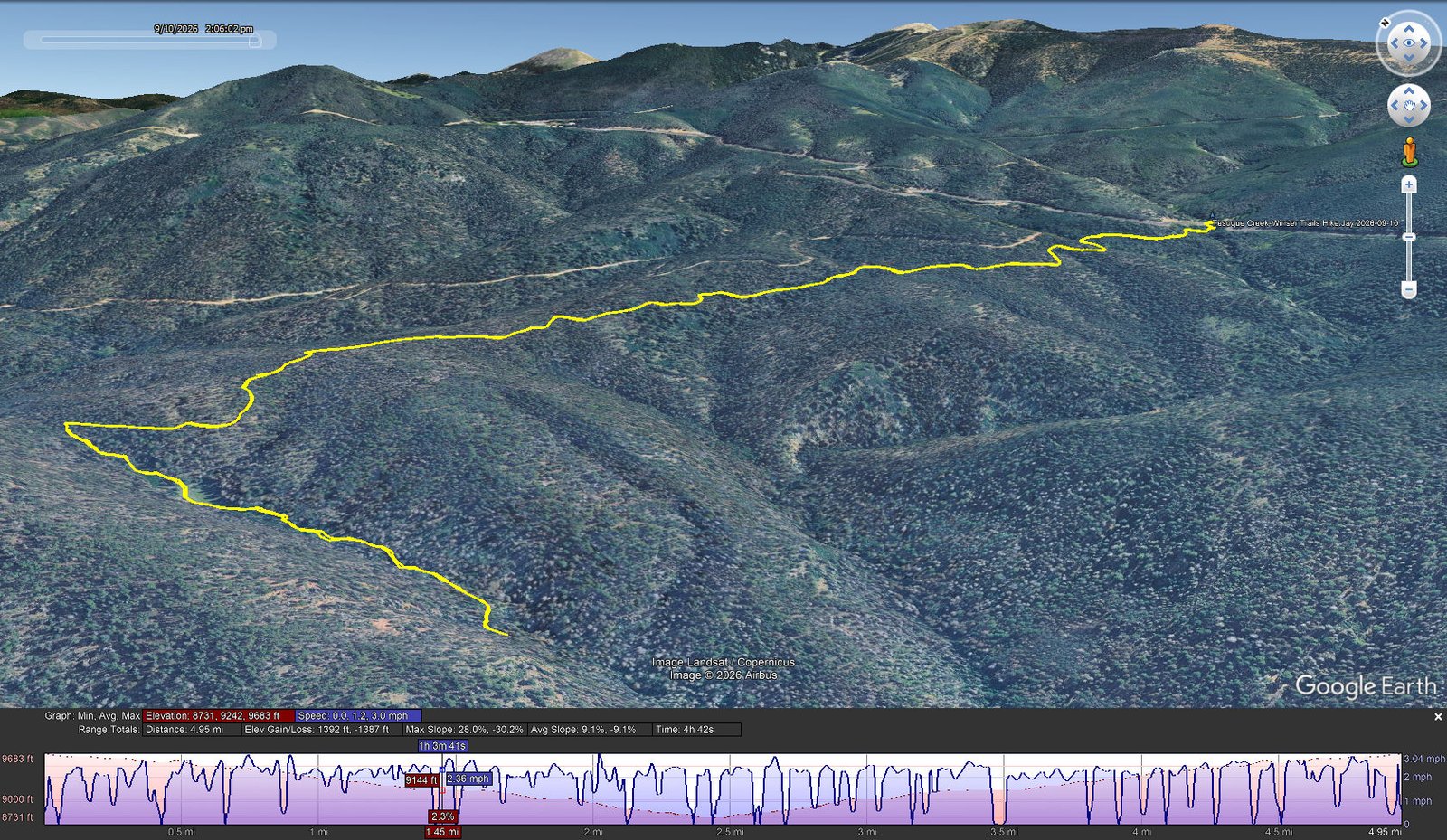
Tesuque Creek-Winsor Trails Hike.Jay.2026-09-10 Notes about the Google Earth screenshot: the graph at the bottom shows elevation of the track (pink area) and speed (the blue line). Click on the image for a full-screen view.
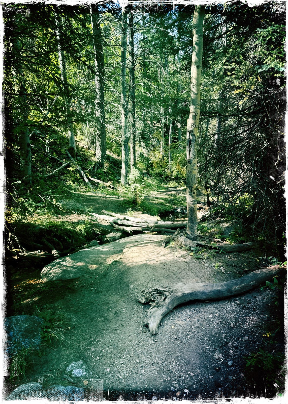
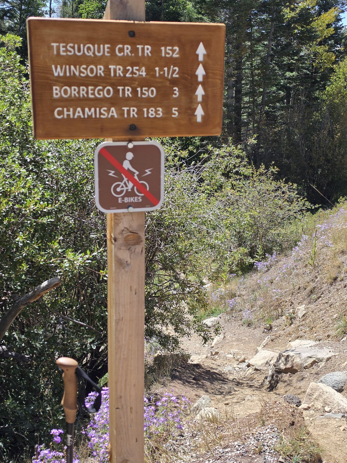 For some reason we’ve not hiked this trail before, even tho’ we’ve been on each of the trails that the trailhead sign points to. As you can see around the bush, the grail descends from the road immediately and quickly, over rocks. But that lasted only a few yards until the trail got down to near the creek-bed. From there on this trail is for easy hiking – downhill for the next two miles (uh, and uphill when returning).
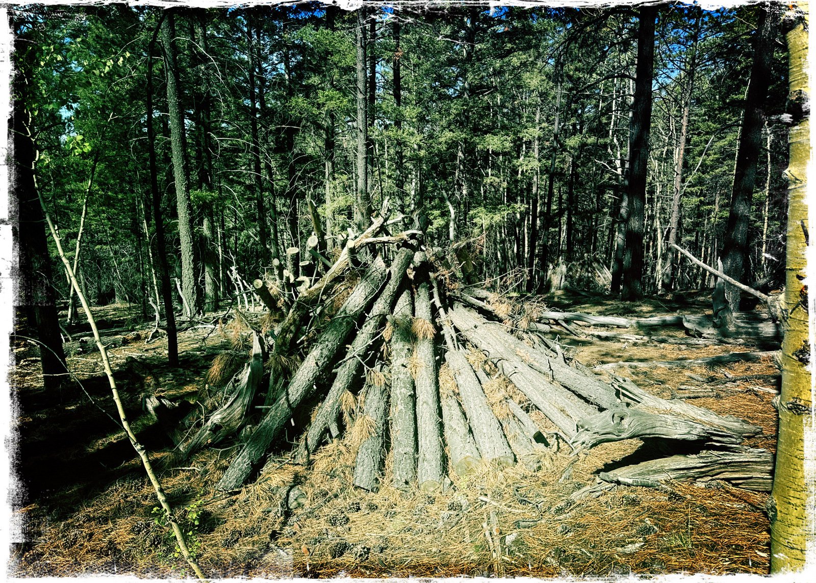
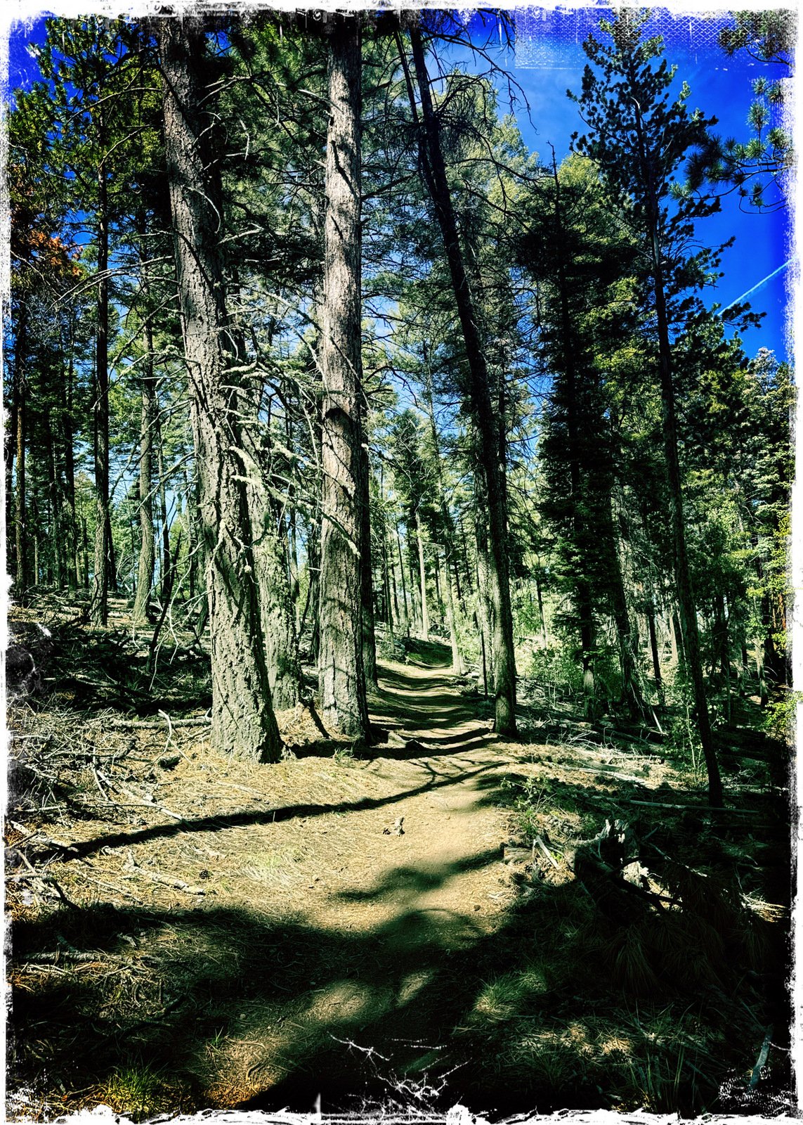
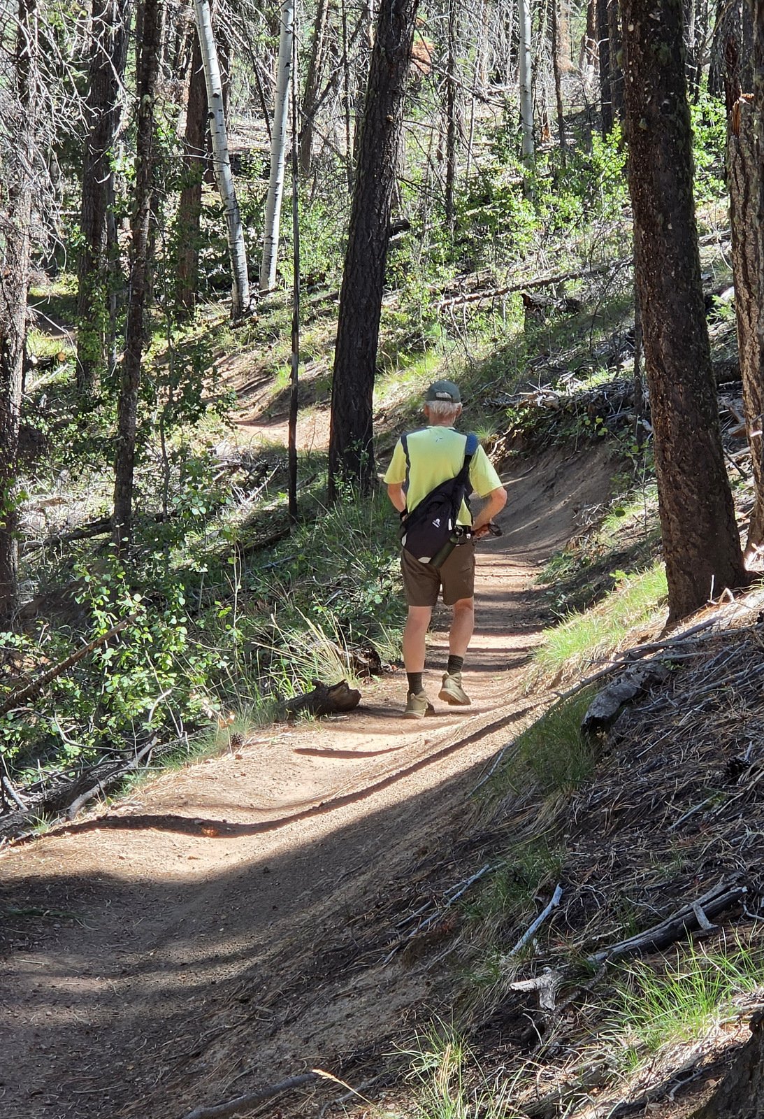 Yes, a trail for easy hiking, passing through a forest with a combination of trees. In some segments, thick aspen trees, many up to 100 feet high, with ponderosa pine and fir interspersed. And in another segment the aspen are joined by scrub oak. Also of note: the forest service has done some major clearing of
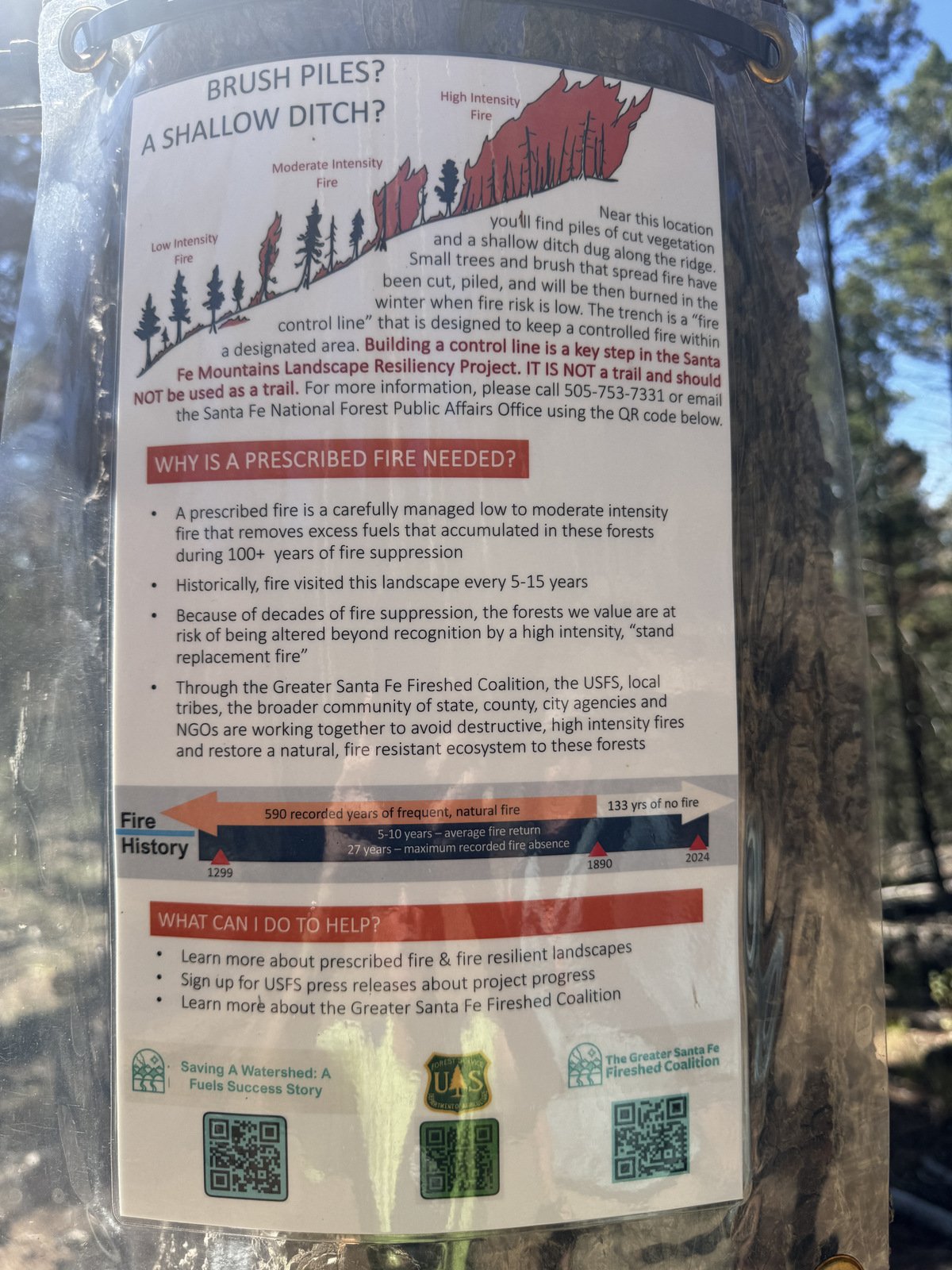
 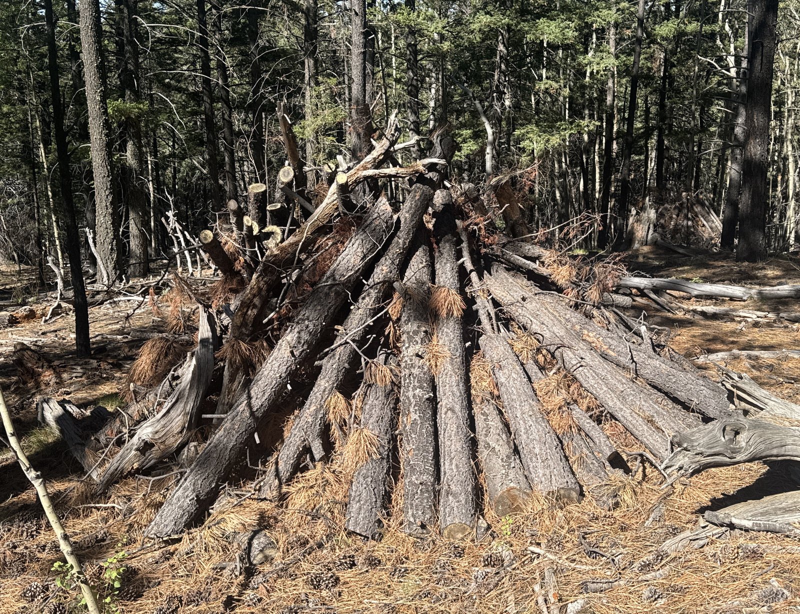 small trees and brush, placing them in teepee-shaped stacks ready for burning this coming winter (see the sign about this fire management procedure in the photo gallery below).
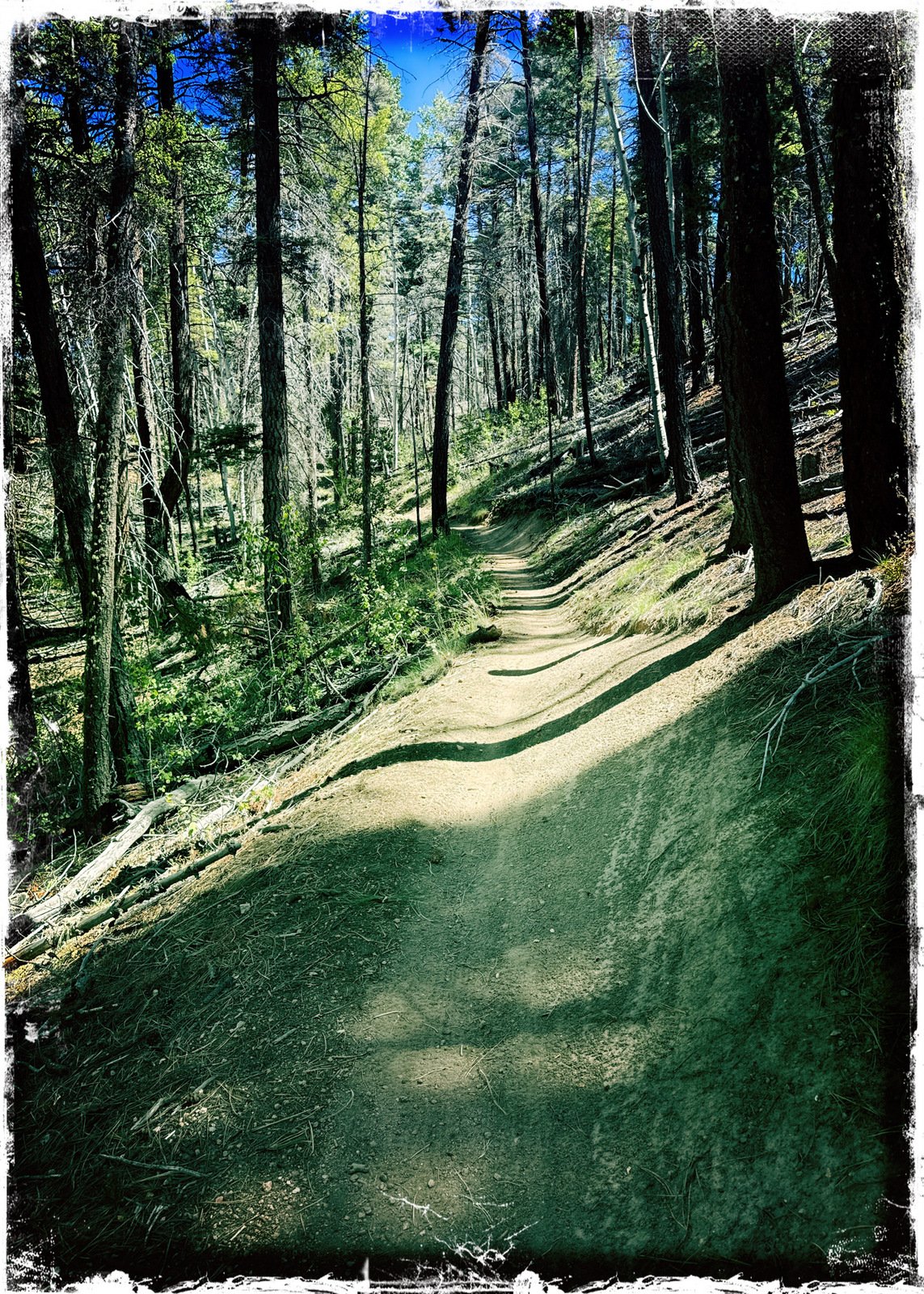
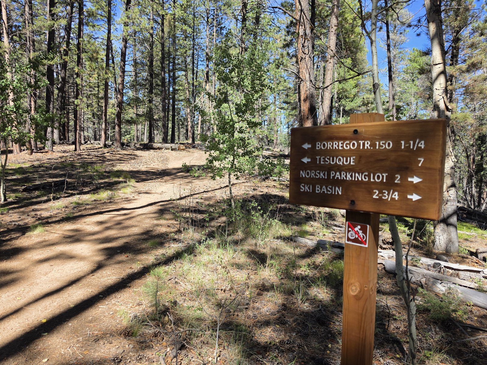 The trail descends at a moderate – easy – slope with occasional level sections (nice to look forward to when returning uphill). After those few yards back at the beginning, the trail remains above the creek-bed. At 1.4 miles we encountered the intersection with the Winsor Trail (coming from the Norski Trailhead further up the mountain) – there are many options to choose from. (And another example of this very nice trail.) From here the trail continues as the Winsor. In about a mile and a half it begins a steeper descent into a cañon, the upper reaches of a branch of Tesuque Creek.
To extend the length of our hike, we continued down this cañon a half mile, realizing as we did so that it was familiar territory – we had come up this cañon on a previous hike (the Borrego-Winsor Trails Hike). Upon reaching our goal for a 5 mile out-and-back, we headed back, stopping at the intersection with Winsor for a snack, and continued up the (relatively) easy uphill hike back to the trailhead. We will do this trail again; perhaps work it into point-to-point hikes with other trails.
Jay here: A pleasant surprise. Not only a new trail but scenic as well, with a mix of towering aspens and ponderosas. We already have an idea about repeating the hike but adding on an extension to the the Norski parking lot, tacking on another mile or two.
Highlight
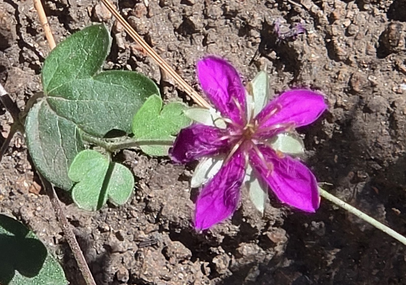
I continue to amazed, and attracted to, the flowers along these trails. This even in light of the very dry year we have had. Here are a couple of the more than half-a-dozen different blossoms that caught my attention. 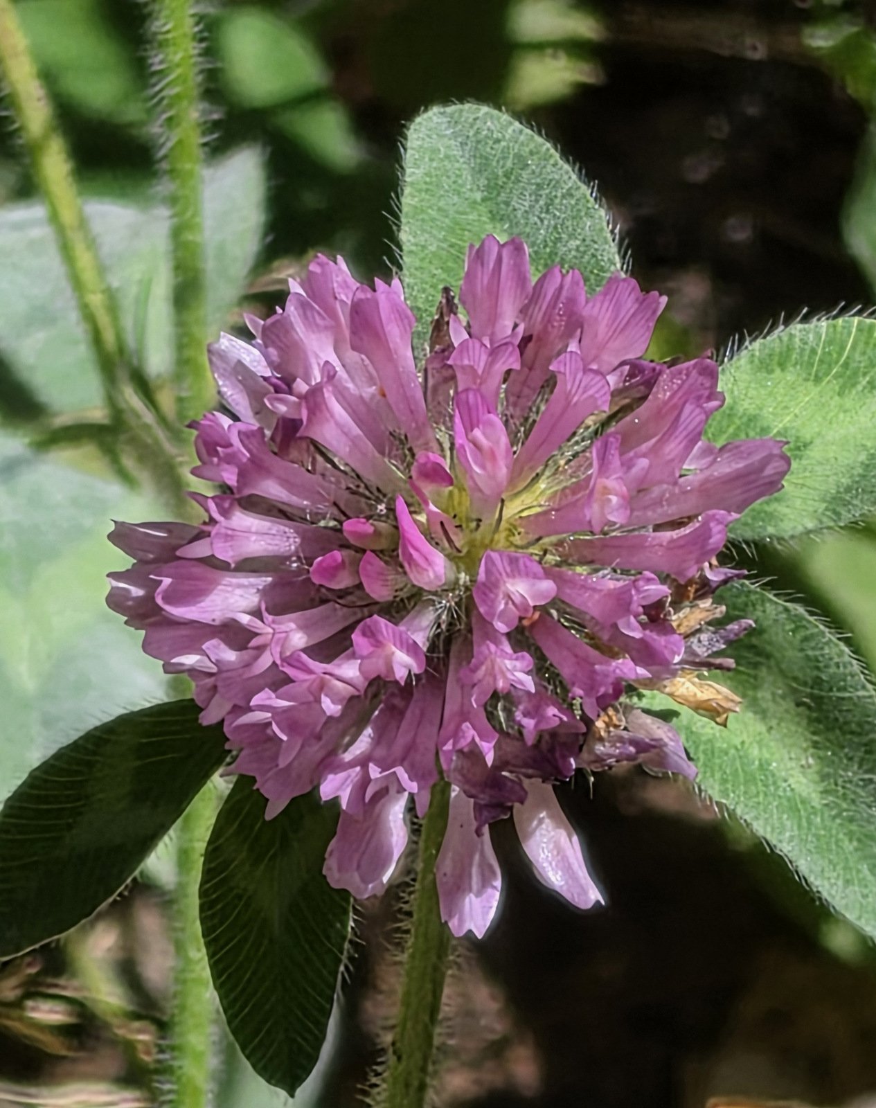
Statistics
Total Distance: 4.95 miles
Elevation: start 9,678 ft, maximum 9,683 ft, minimum 8,731 ft
Gross gain: 952 ft. Aggregate ascending 1,392 ft, descending 1,387 ft
Maximum slope: 28% ascending, 32% descending, 9.1% average
Duration: 4:01, Average Speed: 1.2 mph, Shade: 65%
| GPS Track Files for Download | |
31 Downloads | |
|---|---|
32 Downloads | |
41 Downloads | |
| If you haven’t explored these hiking tracks with Google Earth, give it a try. With the virtual 3-dimensional presentation, achieved by panning and tilting the view, you can get good idea of the hike and the terrain. For some ideas, check out Using Google Earth Track Files. | |
Related Posts
References and Resources (scarce for this Tesuque Creek South Fork)
AllTrails: Big Tesuque Trail (an appealing loop, tho one leg is a two-track)
Komoot: Big Tesuque Trail (same as the AllTrails post)
Photos
Views to date: 9 views.