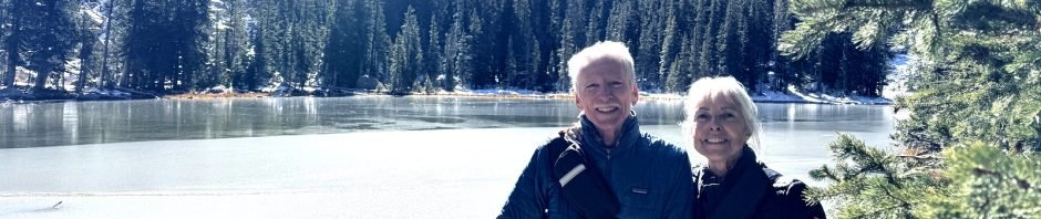
After the previous unsuccessful attempt at reaching Nambe Lake, Jay decided to give it another go with Nancy and Michael along for encouragement.
The Drive In
This hike begins at the Winsor Trailhead, located at the end of Hyde Park Road. As one approaches the Ski Santa Fe parking areas, stay to the left, go part way around the road loop, and park in the northwest parking area. The Trailhead is across from the parking lot, to the northwest.
The Hike
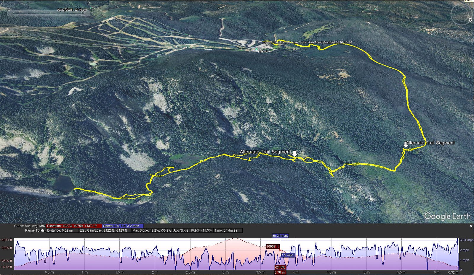
Jay-Winser-Nambe Lake Trails Hike.NancyMichael.2026-10-26
Notes about the Google Earth screenshot: the graph at the bottom shows elevation of the track (pink area) and speed (the blue line). Click on the image for a full-screen view.
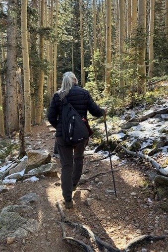 Upon reaching the top of the ridge and the gate into the Pecos Wilderness, we encountered an inch to two inches of snow, which would be constant for the balance of the hike. Proceeding on Winsor Trail (#254) it was easy going, sometimes a little slippery. We picked up the shortcut that George found on the previous attempt (the trail segment between arrows labeled “Alternate Trail Segment” on the GPS track; expand image above by clicking on it). It reduces the total distance, but more importantly avoids some rocky going at the bottom of the trail.
From the point at which the shortcut meets the posted trail, we had no trouble finding the stream crossing with much lower flow than the white water we previously encountered. It’s all climb from there but we managed to stay on the GAIA track from the previous hike, on mostly snow covered ground running along the Nambe stream. At one point, we passed the log where we had stopped during the last hike, but continued on to the lake edge. It was clear from the last segment of the hike that Jay was maybe only 250-300 feet from the goal when he stopped.
Highlight
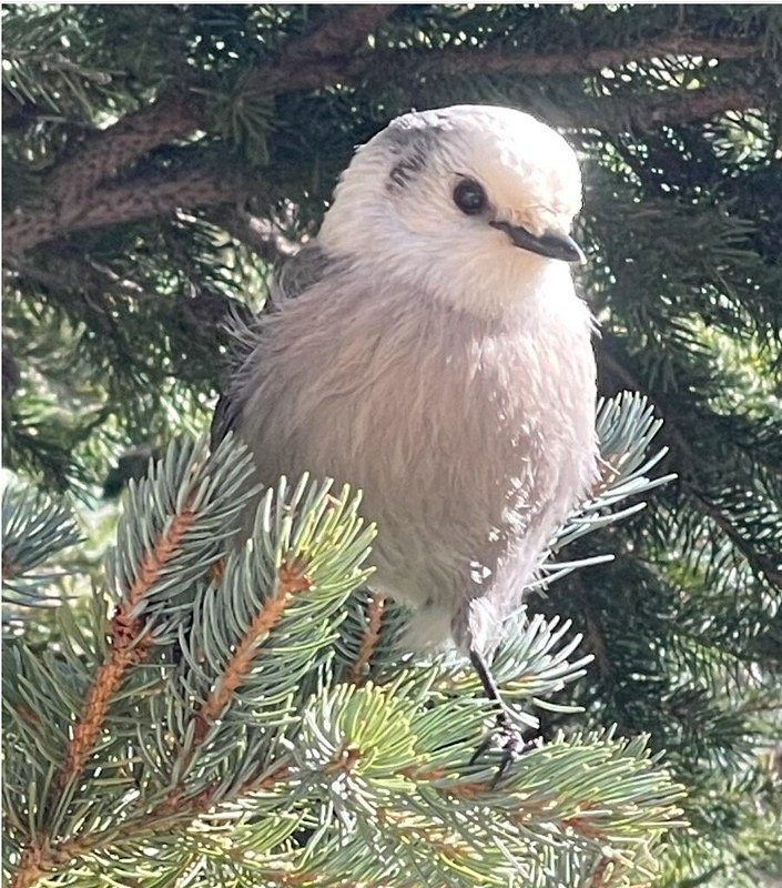
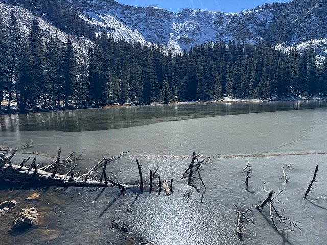
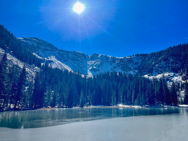
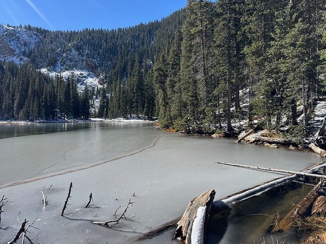
The sun was shining brightly on the lake, almost blinding us. A thin sheet of ice was still along the shore and Camp Robber birds were surrounding us hoping for handouts from our snacks (which they got).
Statistics
Total Distance: 6.32 miles
Elevation: start 10,280 ft, maximum 11,371 ft, minimum 10,273 ft
Gross gain: 1,098 ft. Aggregate ascending 2,122 ft, descending 2.129ft
Maximum slope: 42% ascending, 36% descending, 11.0% average
Duration: 5:04, Average Speed: 1.2 mph, Shade: 80%
| GPS Track Files for Download | |
0 Downloads | |
Error! This download item is not available! It may be unpublished, private, or you may not have permission to view it. | 0 Downloads |
0 Downloads | |
If you haven’t explored these hiking tracks with Google Earth, I urge you to try it. With the virtual 3-dimensional presentation, achieved by panning and tilting the view, you can get a much better idea of the hikes and terrain than you can get from the screenshot above. For some ideas, check out Using Google Earth Track Files. | |
Related Posts
Winsor-Nambe Lake Trails Hike 10/07/2026
Winsor-Aspen Peak Trails Hike 06/18/2026
Winser-Raven’s Ridge Trails Hike 06/19/2026
References and Resources
AI Overview: Nambe Lake Trail
AllTrails: Nambe Lake Trail
GAIA GPS: Nambe Lake via Winsor Trail
NM Volunteers for the Outdoo0rs: Nambe Lake Trail #400
Southwestern USA Hiking: Nambe Lake Trail Santa Fe, NM
Views to date: 0 views.