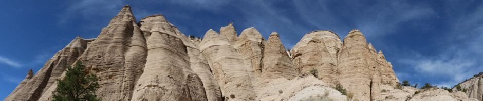
Time for another visit to Kasha-Katuwe Tent Rocks National Monument. Pat & I visited this on one of our first visits to New Mexico together, back before it became a national monument; that is a memorable time for us both. And we have fond memories of visiting it with grandsons from Oakland as well as visits with friends.
The Hike
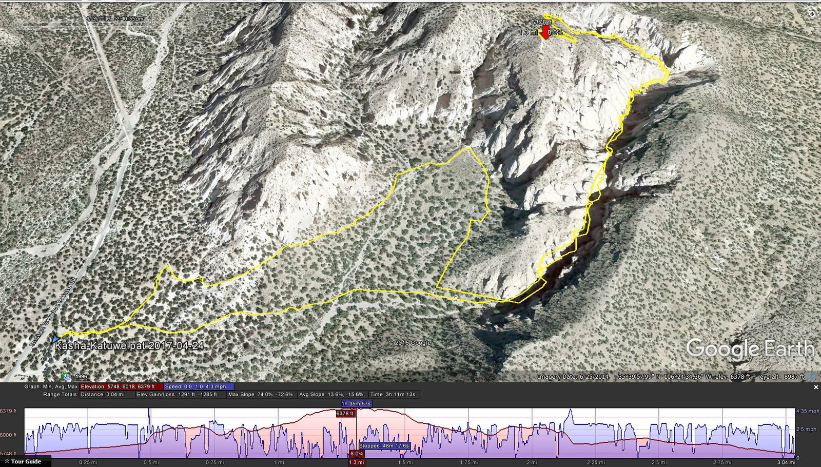
Kasha-Katuwe.Pat.2017-04-24
On this visit we set out to hike the complete trail, through the slot canyon and up to the crest of the mesa overlooking the hoodoos (the Slot Canyon Trail), then returning by way of the Cave Loop Trail. After the hike we continued on BLM 1101 to the Veteran’s Memorial Scenic Overlook, our first visit here and we recommend it for others who visit Kasha-Katuwe. The view down into Cochiti Canyon and its many more hoodoos, and across the southeast corner of the Jemez Mountains, including the Dome Wilderness, is spectacular.
Statistics Note: GPS data spotty in the slot canyon, unable to receive GPS signals from satellites
Total Distance: 3.04 miles
Elevation: start 5,748 ft, maximum 6,379 ft, minimum 5,748 ft
Gross gain: 631 ft. Aggregate ascending 1,291 ft, descending 1,285 ft
Maximum slope: ??% ascending, ??% descending, ??% average
Duration: 3:11
| GPS Track Files for Download | |
184 Downloads | |
|---|---|
272 Downloads | |
I urge you to explore our hiking tracks with Google Earth. With the virtual 3-dimensional presentation, achieved by panning and tilting the view, you can get a much better idea of the hikes and terrain than you can get from the 2-dimensional screenshot above. For assistance: Using Google Earth Track Files.
References
BLM, National Conservation Lands: Kasha-Katuwe Tent Rocks National Monument
TripAdvisor: Kasha-Katuwe Tent Rocks National Monument
The Outbound Collective: Hike at Kasha-Katuwe Tent Rocks National Monument
USFS, Santa Fe National Forest: Wilderness Areas in The Santa Fe National Forest


