The start of a 3-night camping trip in the Jemez Mountains with friends Jay & Nancy. Pat & I arrived early, leaving time for a short hike along the East Fork Jemez River.
The Drive In
We reserved a campsite at the Jemez Falls Campground – US 550 west from Albuquerque to San Ysidro, then north on NM 4 through the Jemez Pueblo, the village of Jemez Springs and on through La Cueva. Then another 5.5 miles to the entrance road to the Campground. We had reserved site 28 in Loop 2, a double site and very comfortable.
The Hike
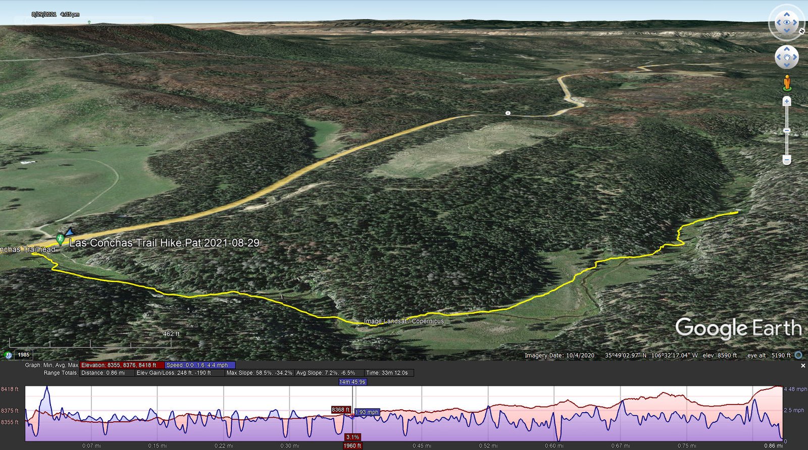
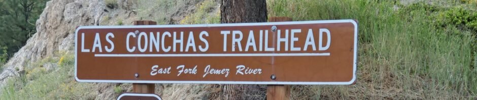
Las Conchas Trail Hike.Pat.2021-08-29
 We’ve hiked here before – ’tis a lovely canyon along the East Fork Jemez River, a well used trail. Vertical walls rise above the canyon floor on both sides of the River, in some places used extensively for rock climbers (there were a half dozen climbing this day). As always (except in winter), there were flowers all along the trail making it a most pleasant, short hike.
Statistics
Total Distance: 0.86 miles
Elevation: start 8,359 ft, maximum 8,418 ft, minimum 8,355 ft
Gross gain: 63 ft. Aggregate ascending 249 ft, descending 190 ft
Maximum slope: 59% ascending, 34% descending, 6.8% average
Duration: 0:33
| GPS Track Files for Download | |
340 Downloads | |
|---|---|
254 Downloads | |
If you haven’t explored these hiking tracks with Google Earth, I urge you to try it. With the virtual 3-dimensional presentation, achieved by panning and tilting the view, you can get a much better idea of the hikes and terrain than you can get from the screenshot above. For some ideas, check out Using Google Earth Track Files.
Related Posts
Las Conchas-East Hike – 10/15/2020
Las Conchas Trail Hike – 09/23/2020
Las Conchas Trail Hike – 07/26/2019
See the Related Posts above